Matagorda County Rolled Sketch 33
Survey of State Leases 48034 and 48064 in Tres Palacios Bay and River, Matagorda County, Texas
-
Map/Doc
9482
-
Collection
General Map Collection
-
Object Dates
9/1957 (Creation Date)
8/3/1959 (File Date)
-
People and Organizations
J.D. Freeman (Surveyor/Engineer)
-
Counties
Matagorda
-
Subjects
Surveying Rolled Sketch
-
Height x Width
43.5 x 63.0 inches
110.5 x 160.0 cm
-
Scale
1" = 72 varas
Part of: General Map Collection
Potter County Sketch File 11


Print $4.00
- Digital $50.00
Potter County Sketch File 11
1890
Size 14.0 x 8.8 inches
Map/Doc 34397
Montgomery County Working Sketch 76


Print $20.00
- Digital $50.00
Montgomery County Working Sketch 76
Size 16.5 x 18.3 inches
Map/Doc 78191
Matagorda County Rolled Sketch 25
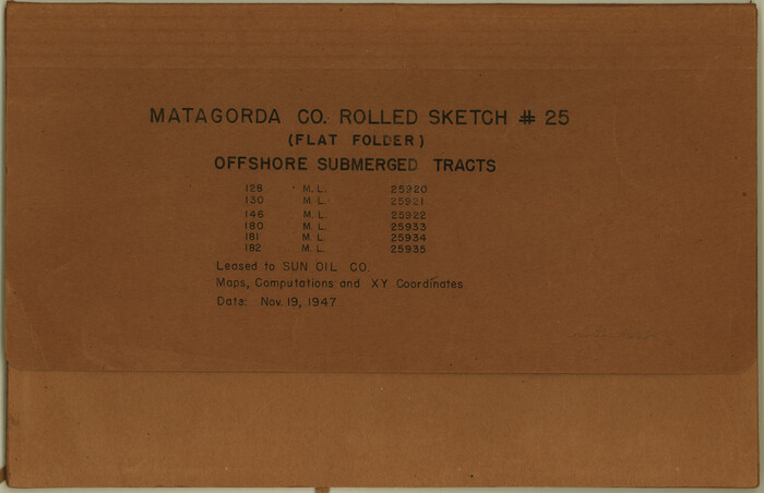

Print $115.00
- Digital $50.00
Matagorda County Rolled Sketch 25
Size 9.7 x 15.0 inches
Map/Doc 46624
Flight Mission No. DQN-2K, Frame 23, Calhoun County
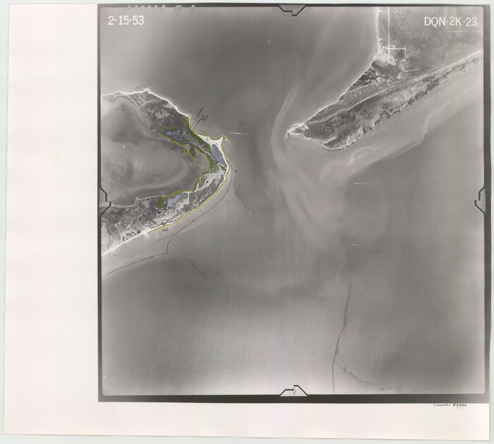

Print $20.00
- Digital $50.00
Flight Mission No. DQN-2K, Frame 23, Calhoun County
1953
Size 17.4 x 19.3 inches
Map/Doc 84230
El Paso County Rolled Sketch 56


Print $20.00
- Digital $50.00
El Paso County Rolled Sketch 56
1982
Size 33.5 x 36.6 inches
Map/Doc 8878
Harris County Working Sketch 95


Print $20.00
- Digital $50.00
Harris County Working Sketch 95
1978
Size 26.6 x 44.1 inches
Map/Doc 65987
Glasscock County Sketch File 23
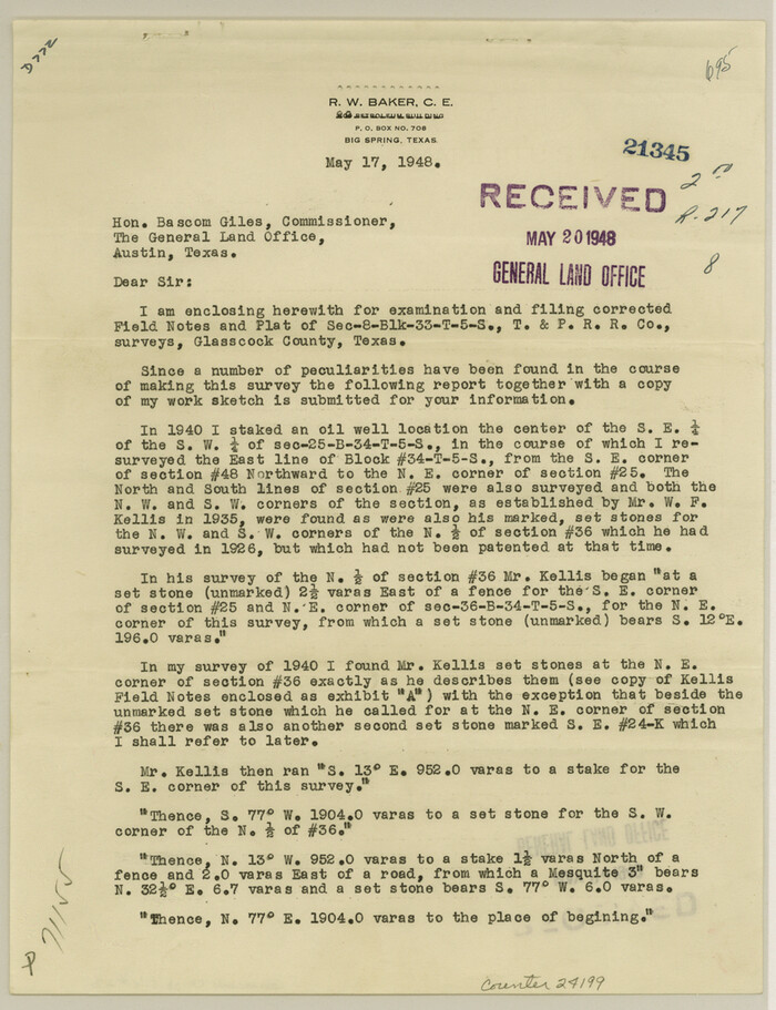

Print $10.00
- Digital $50.00
Glasscock County Sketch File 23
1948
Size 11.4 x 8.8 inches
Map/Doc 24199
Red River County Working Sketch 66
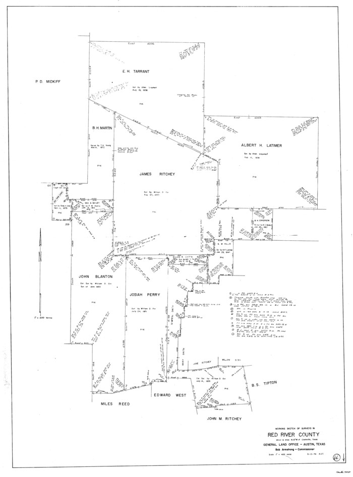

Print $20.00
- Digital $50.00
Red River County Working Sketch 66
1974
Size 44.0 x 32.5 inches
Map/Doc 72049
Brewster County Rolled Sketch 93


Print $20.00
- Digital $50.00
Brewster County Rolled Sketch 93
1935
Size 24.1 x 43.1 inches
Map/Doc 5251
Cooke County Sketch File 29


Print $16.00
- Digital $50.00
Cooke County Sketch File 29
1873
Size 8.2 x 11.0 inches
Map/Doc 19283
Harrison County Sketch File 21


Print $20.00
- Digital $50.00
Harrison County Sketch File 21
1892
Size 20.2 x 25.7 inches
Map/Doc 11694
Henderson County Rolled Sketch 11
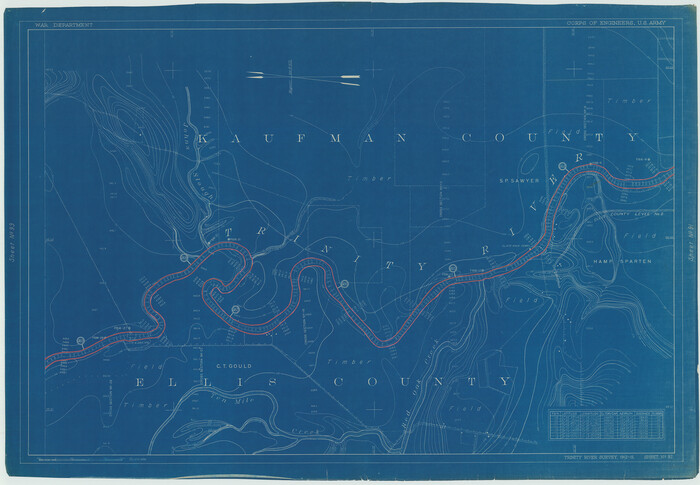

Print $20.00
- Digital $50.00
Henderson County Rolled Sketch 11
1915
Size 29.4 x 42.4 inches
Map/Doc 75958
You may also like
Culberson County Rolled Sketch 47
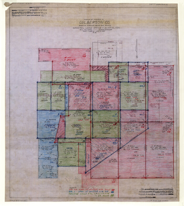

Print $20.00
- Digital $50.00
Culberson County Rolled Sketch 47
1959
Size 35.1 x 31.5 inches
Map/Doc 8755
Nueces County Rolled Sketch 66
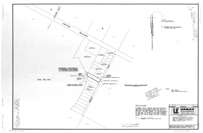

Print $46.00
- Digital $50.00
Nueces County Rolled Sketch 66
1979
Size 26.1 x 37.4 inches
Map/Doc 9608
Childress County Rolled Sketch 9E
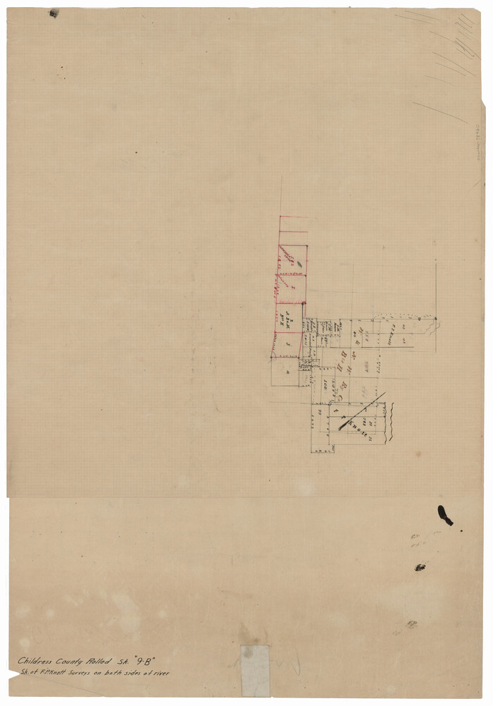

Print $20.00
- Digital $50.00
Childress County Rolled Sketch 9E
Size 23.8 x 16.6 inches
Map/Doc 78460
Refugio County Working Sketch 13


Print $20.00
- Digital $50.00
Refugio County Working Sketch 13
1961
Size 23.8 x 29.8 inches
Map/Doc 63522
Right of Way and Track Map International & Gt. Northern Ry. operated by the International & Gt. Northern Ry. Co., Gulf Division, Columbia Branch

Print $40.00
- Digital $50.00
Right of Way and Track Map International & Gt. Northern Ry. operated by the International & Gt. Northern Ry. Co., Gulf Division, Columbia Branch
1917
Size 24.9 x 56.5 inches
Map/Doc 64594
Coryell County Working Sketch 25


Print $20.00
- Digital $50.00
Coryell County Working Sketch 25
1986
Size 22.2 x 29.4 inches
Map/Doc 68232
Pecos County Working Sketch 93


Print $40.00
- Digital $50.00
Pecos County Working Sketch 93
1966
Size 32.1 x 71.5 inches
Map/Doc 71566
El Nuevo Mexico y Tierras Adyacentes Mapa Levantado para la demarcacion de los Limites de los Dominios Españoles y de los Estados Unidos por el P.D. Jose Pichardo quien lo dedica al Exmo. Sor. D. Fracisco Xavier Venegas Virrey de esta N.E. &. Año de 1811

Print $40.00
El Nuevo Mexico y Tierras Adyacentes Mapa Levantado para la demarcacion de los Limites de los Dominios Españoles y de los Estados Unidos por el P.D. Jose Pichardo quien lo dedica al Exmo. Sor. D. Fracisco Xavier Venegas Virrey de esta N.E. &. Año de 1811
1811
Size 35.8 x 49.6 inches
Map/Doc 95360
Sketch showing progress of topographical work Laguna Madre and vicinity from Rainey Is. to Baffins Bay, Coast of Texas Sect. IX [and accompanying letter]
![72958, Sketch showing progress of topographical work Laguna Madre and vicinity from Rainey Is. to Baffins Bay, Coast of Texas Sect. IX [and accompanying letter], General Map Collection](https://historictexasmaps.com/wmedia_w700/maps/72958.tif.jpg)
![72958, Sketch showing progress of topographical work Laguna Madre and vicinity from Rainey Is. to Baffins Bay, Coast of Texas Sect. IX [and accompanying letter], General Map Collection](https://historictexasmaps.com/wmedia_w700/maps/72958.tif.jpg)
Print $2.00
- Digital $50.00
Sketch showing progress of topographical work Laguna Madre and vicinity from Rainey Is. to Baffins Bay, Coast of Texas Sect. IX [and accompanying letter]
1881
Size 11.2 x 8.8 inches
Map/Doc 72958
Real County Working Sketch 10

Print $20.00
- Digital $50.00
Real County Working Sketch 10
1929
Size 23.0 x 15.4 inches
Map/Doc 71902
Knox County Rolled Sketch 22

Print $20.00
- Digital $50.00
Knox County Rolled Sketch 22
1968
Size 25.4 x 37.6 inches
Map/Doc 6562
[Sketch of part of G. & M. Block 5, G. & M. Block 4, Block M19 and Block 21W]
![93085, [Sketch of part of G. & M. Block 5, G. & M. Block 4, Block M19 and Block 21W], Twichell Survey Records](https://historictexasmaps.com/wmedia_w700/maps/93085-1.tif.jpg)
![93085, [Sketch of part of G. & M. Block 5, G. & M. Block 4, Block M19 and Block 21W], Twichell Survey Records](https://historictexasmaps.com/wmedia_w700/maps/93085-1.tif.jpg)
Print $20.00
- Digital $50.00
[Sketch of part of G. & M. Block 5, G. & M. Block 4, Block M19 and Block 21W]
Size 23.1 x 17.8 inches
Map/Doc 93085
