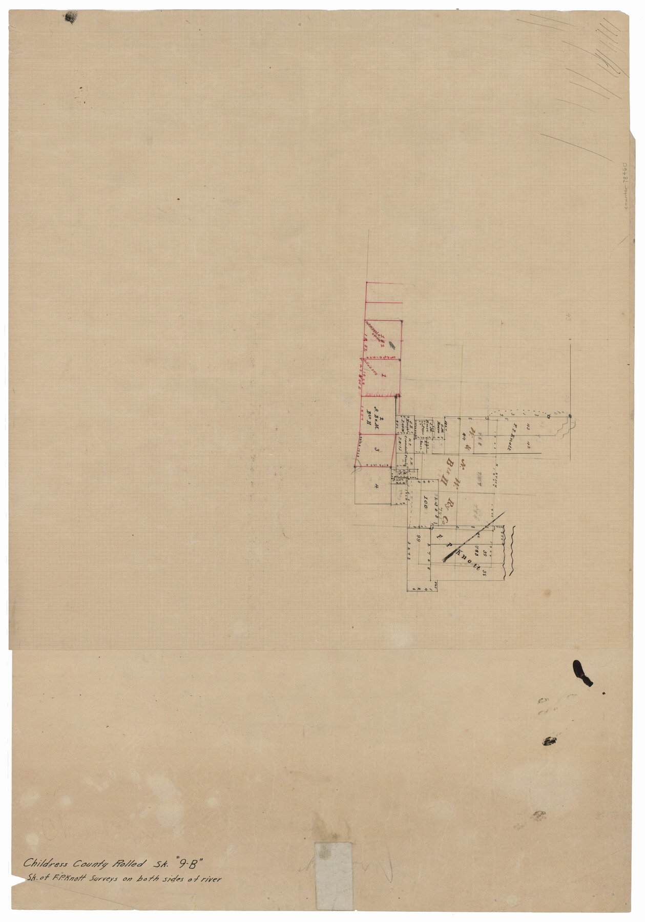
Childress County Rolled Sketch 9E
[Sketch of north part of Block H]
-
Map/Doc
78460
-
Collection
General Map Collection
-
Counties
Childress
-
Subjects
Surveying Rolled Sketch
-
Height x Width
23.8 x 16.6 inches
60.5 x 42.2 cm
-
Medium
paper, manuscript
Related maps
Childress County Rolled Sketch 9B

Print $20.00
- Digital $50.00
Childress County Rolled Sketch 9B
Size 17.3 x 23.6 inches
Map/Doc 5448
Part of: General Map Collection
Brewster County Working Sketch 30

Print $40.00
- Digital $50.00
Brewster County Working Sketch 30
1942
Size 44.6 x 59.6 inches
Map/Doc 67564
Hutchinson County Boundary File 4a

Print $40.00
- Digital $50.00
Hutchinson County Boundary File 4a
Size 8.7 x 51.7 inches
Map/Doc 55313
Wise County Sketch File 45

Print $4.00
- Digital $50.00
Wise County Sketch File 45
Size 8.6 x 14.2 inches
Map/Doc 40605
Liberty County Sketch File 48

Print $6.00
- Digital $50.00
Liberty County Sketch File 48
1879
Size 12.2 x 8.3 inches
Map/Doc 30010
Roberts County Working Sketch 7

Print $20.00
- Digital $50.00
Roberts County Working Sketch 7
1954
Size 25.1 x 33.3 inches
Map/Doc 63533
Matagorda Bay Including Lavaca and Tres Palacios Bays

Print $40.00
- Digital $50.00
Matagorda Bay Including Lavaca and Tres Palacios Bays
1982
Size 37.5 x 48.0 inches
Map/Doc 73365
Flight Mission No. BRE-2P, Frame 62, Nueces County

Print $20.00
- Digital $50.00
Flight Mission No. BRE-2P, Frame 62, Nueces County
1956
Size 18.3 x 22.5 inches
Map/Doc 86757
Map of San Patricio County

Print $40.00
- Digital $50.00
Map of San Patricio County
1896
Size 29.1 x 48.7 inches
Map/Doc 1336
Collin County Working Sketch 1

Print $20.00
- Digital $50.00
Collin County Working Sketch 1
1921
Size 26.6 x 23.4 inches
Map/Doc 68095

Live Oak County Rolled Sketch 10

Print $20.00
- Digital $50.00
Live Oak County Rolled Sketch 10
1983
Size 38.4 x 43.9 inches
Map/Doc 9456
El Paso County Working Sketch 29

Print $40.00
- Digital $50.00
El Paso County Working Sketch 29
1967
Size 43.0 x 64.8 inches
Map/Doc 69051
You may also like
Tom Green County Sketch File 76

Print $20.00
- Digital $50.00
Tom Green County Sketch File 76
1951
Size 24.5 x 24.7 inches
Map/Doc 12450
Red River Co.

Print $20.00
- Digital $50.00
Red River Co.
1897
Size 46.8 x 36.0 inches
Map/Doc 16796
D No. 5 - Reconnaissance of Hatteras Inlet, North Carolina

Print $20.00
- Digital $50.00
D No. 5 - Reconnaissance of Hatteras Inlet, North Carolina
1853
Size 17.1 x 14.9 inches
Map/Doc 97212
General Highway Map. Detail of Cities and Towns in Smith County, Texas. City Map, Tyler, Smith County, Texas

Print $20.00
General Highway Map. Detail of Cities and Towns in Smith County, Texas. City Map, Tyler, Smith County, Texas
1961
Size 18.1 x 24.9 inches
Map/Doc 79656
Map of the Mexican Central Railway and Connections

Print $20.00
- Digital $50.00
Map of the Mexican Central Railway and Connections
1892
Size 22.0 x 26.0 inches
Map/Doc 95742
[Sketch for Mineral Application 1487 -Big Wichita River, Ernest R. Smith]
![65685, [Sketch for Mineral Application 1487 -Big Wichita River, Ernest R. Smith], General Map Collection](https://historictexasmaps.com/wmedia_w700/maps/65685.tif.jpg)
Print $40.00
- Digital $50.00
[Sketch for Mineral Application 1487 -Big Wichita River, Ernest R. Smith]
1918
Size 129.3 x 31.5 inches
Map/Doc 65685
Sutton County Sketch File 47

Print $4.00
- Digital $50.00
Sutton County Sketch File 47
1939
Size 11.4 x 8.8 inches
Map/Doc 37519
Presidio County Working Sketch 128

Print $20.00
- Digital $50.00
Presidio County Working Sketch 128
1987
Size 37.3 x 29.0 inches
Map/Doc 71806
Llano County Boundary File 1a

Print $44.00
- Digital $50.00
Llano County Boundary File 1a
Size 13.2 x 8.1 inches
Map/Doc 56430
Karnes County Sketch File 17

Print $4.00
- Digital $50.00
Karnes County Sketch File 17
1873
Size 12.8 x 8.0 inches
Map/Doc 28622
Terrell County Rolled Sketch 34

Print $20.00
- Digital $50.00
Terrell County Rolled Sketch 34
1937
Size 29.3 x 25.3 inches
Map/Doc 7939
Dickens County Working Sketch Graphic Index

Print $20.00
- Digital $50.00
Dickens County Working Sketch Graphic Index
1963
Size 42.5 x 33.6 inches
Map/Doc 76523