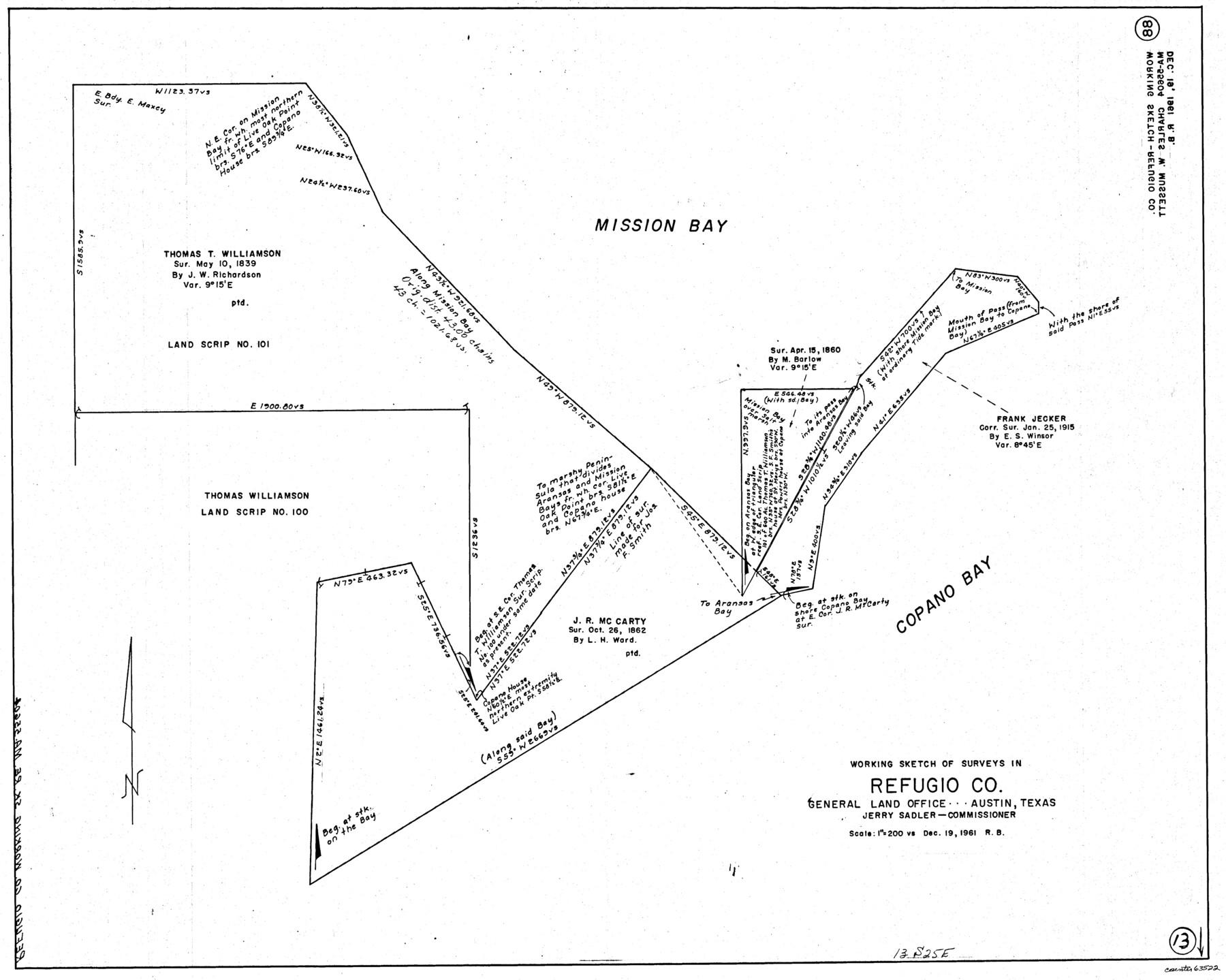
Refugio County Working Sketch 13
-
Map/Doc
63522
-
Collection
General Map Collection
-
Object Dates
12/19/1961 (Creation Date)
-
People and Organizations
Roy Buckholts (Draftsman)
-
Counties
Refugio
-
Subjects
Surveying Working Sketch
-
Height x Width
23.8 x 29.8 inches
60.5 x 75.7 cm
-
Scale
1" = 200
Part of: General Map Collection
Leon County Working Sketch 52a

Print $20.00
- Digital $50.00
Leon County Working Sketch 52a
1982
Size 35.1 x 42.8 inches
Map/Doc 70451
San Augustine County Sketch File 6

Print $4.00
San Augustine County Sketch File 6
1858
Size 6.4 x 7.7 inches
Map/Doc 35644
Right of Way and Track Map, The Missouri, Kansas and Texas Ry. of Texas operated by the Missouri, Kansas and Texas Ry. of Texas, Henrietta Division

Print $40.00
- Digital $50.00
Right of Way and Track Map, The Missouri, Kansas and Texas Ry. of Texas operated by the Missouri, Kansas and Texas Ry. of Texas, Henrietta Division
1918
Size 25.4 x 57.2 inches
Map/Doc 64073
Flight Mission No. DIX-10P, Frame 181, Aransas County

Print $20.00
- Digital $50.00
Flight Mission No. DIX-10P, Frame 181, Aransas County
1956
Size 18.5 x 22.2 inches
Map/Doc 83971
Potter County Rolled Sketch 5

Print $40.00
- Digital $50.00
Potter County Rolled Sketch 5
1903
Size 56.0 x 21.9 inches
Map/Doc 9759
Flight Mission No. BRE-1P, Frame 149, Nueces County

Print $20.00
- Digital $50.00
Flight Mission No. BRE-1P, Frame 149, Nueces County
1956
Size 18.3 x 22.3 inches
Map/Doc 86709
Roberts County Sketch File 1

Print $20.00
- Digital $50.00
Roberts County Sketch File 1
Size 39.2 x 22.3 inches
Map/Doc 10589
Current Miscellaneous File 27

Print $4.00
- Digital $50.00
Current Miscellaneous File 27
1952
Size 10.8 x 8.3 inches
Map/Doc 73909
Flight Mission No. DQN-2K, Frame 64, Calhoun County

Print $20.00
- Digital $50.00
Flight Mission No. DQN-2K, Frame 64, Calhoun County
1953
Size 18.6 x 22.3 inches
Map/Doc 84256
Travis County Sketch File 44

Print $20.00
- Digital $50.00
Travis County Sketch File 44
1927
Size 21.6 x 19.3 inches
Map/Doc 12466

Robertson County Working Sketch 1

Print $20.00
- Digital $50.00
Robertson County Working Sketch 1
1923
Size 26.2 x 36.6 inches
Map/Doc 63574
You may also like
Freestone County Rolled Sketch 3

Print $67.00
- Digital $50.00
Freestone County Rolled Sketch 3
Size 10.4 x 15.5 inches
Map/Doc 44784


Archer County Working Sketch 8

Print $20.00
- Digital $50.00
Archer County Working Sketch 8
1921
Size 18.3 x 19.3 inches
Map/Doc 67148
Travis County Sketch File 22

Print $6.00
- Digital $50.00
Travis County Sketch File 22
1875
Size 8.5 x 8.5 inches
Map/Doc 38327
Parmer County Working Sketch 2

Print $20.00
- Digital $50.00
Parmer County Working Sketch 2
1914
Map/Doc 71470
Aransas County Sketch File 28

Print $16.00
- Digital $50.00
Aransas County Sketch File 28
1973
Size 11.3 x 8.8 inches
Map/Doc 13226
Mills County Sketch File 18

Print $4.00
- Digital $50.00
Mills County Sketch File 18
1872
Size 12.1 x 8.1 inches
Map/Doc 31668
Donley County Sketch File B3

Print $20.00
- Digital $50.00
Donley County Sketch File B3
1918
Size 22.0 x 15.0 inches
Map/Doc 11373
Terrell County Working Sketch 58

Print $40.00
- Digital $50.00
Terrell County Working Sketch 58
1960
Size 36.3 x 48.9 inches
Map/Doc 69579
The Republic County of Colorado. 1840

Print $20.00
The Republic County of Colorado. 1840
2020
Size 18.4 x 21.7 inches
Map/Doc 96122
Flight Mission No. BRA-7M, Frame 182, Jefferson County

Print $20.00
- Digital $50.00
Flight Mission No. BRA-7M, Frame 182, Jefferson County
1953
Size 18.5 x 22.3 inches
Map/Doc 85550