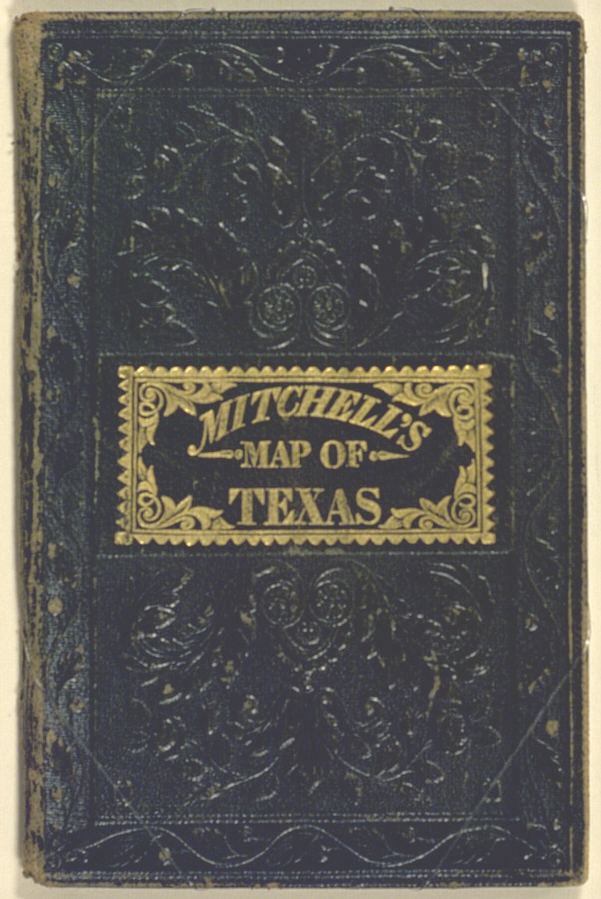
Map of the State of Texas from the Latest Authorities
[Cover for] Map of the State of Texas from the Latest Authorities
-
Map/Doc
93902
-
Collection
Holcomb Digital Map Collection
-
Object Dates
1854 (Creation Date)
-
Subjects
State of Texas
-
Height x Width
5.2 x 3.5 inches
13.2 x 8.9 cm
-
Comments
See 93901 for map originally contained in this cover. Courtesy of Frank and Carol Holcomb.
Part of: Holcomb Digital Map Collection
Map of Texas compiled from surveys recorded in the Land Office of Texas, and other official surveys

Print $20.00
- Digital $50.00
Map of Texas compiled from surveys recorded in the Land Office of Texas, and other official surveys
1843
Size 27.1 x 22.5 inches
Map/Doc 93863
A Map of the United States including Louisiana

Print $20.00
- Digital $50.00
A Map of the United States including Louisiana
1817
Size 14.9 x 18.2 inches
Map/Doc 95964
Map of the United States

Print $20.00
- Digital $50.00
Map of the United States
1851
Size 25.1 x 25.3 inches
Map/Doc 93899
Carta Geografica General de la Republica Mexicana

Print $40.00
- Digital $50.00
Carta Geografica General de la Republica Mexicana
1845
Size 38.1 x 52.9 inches
Map/Doc 96438
Map of the United States and Canada

Print $2.00
- Digital $50.00
Map of the United States and Canada
1853
Size 6.2 x 4.2 inches
Map/Doc 93919
L'Amerique divisée en ses principales parties où sont distingués les uns des autres les estats selon quils appartiennent presentement aux differents souverains de l'Europe

Print $20.00
- Digital $50.00
L'Amerique divisée en ses principales parties où sont distingués les uns des autres les estats selon quils appartiennent presentement aux differents souverains de l'Europe
1752
Size 36.0 x 43.6 inches
Map/Doc 95188
Tanner's Travelling Map of Mexico

Print $2.00
- Digital $50.00
Tanner's Travelling Map of Mexico
1847
Size 6.2 x 4.1 inches
Map/Doc 93877
Trace d'une partie Chemin de Fer de Galveston à Houston et Henderson, Texas, Etats unis d'Amérique

Print $20.00
- Digital $50.00
Trace d'une partie Chemin de Fer de Galveston à Houston et Henderson, Texas, Etats unis d'Amérique
1857
Size 17.1 x 21.8 inches
Map/Doc 93905
Carte Generale du Royaume de la Nouvelle Espagne depuis le Parallele de 16° jusqu'au Parallele de 38° (Latitude Nord)

Print $20.00
- Digital $50.00
Carte Generale du Royaume de la Nouvelle Espagne depuis le Parallele de 16° jusqu'au Parallele de 38° (Latitude Nord)
1804
Size 41.5 x 29.5 inches
Map/Doc 96510
Colton's New Map of the State of Texas, the Indian Territory and adjoining portions of New Mexico, Louisiana and Arkansas

Print $2.00
- Digital $50.00
Colton's New Map of the State of Texas, the Indian Territory and adjoining portions of New Mexico, Louisiana and Arkansas
1882
Size 8.5 x 5.0 inches
Map/Doc 93921
Americae nova Tabula

Print $20.00
- Digital $50.00
Americae nova Tabula
1617
Size 16.0 x 21.5 inches
Map/Doc 93813
Nova et Acurata Totius Americae Tabula

Print $40.00
Nova et Acurata Totius Americae Tabula
1608
Size 40.8 x 56.5 inches
Map/Doc 97019
You may also like
San Jacinto County Boundary File 1

Print $6.00
- Digital $50.00
San Jacinto County Boundary File 1
Size 9.6 x 8.4 inches
Map/Doc 58548
Lipscomb County

Print $20.00
- Digital $50.00
Lipscomb County
1932
Size 40.5 x 37.5 inches
Map/Doc 73222
[Sketch for Mineral Application 24072, San Jacinto River]
![65597, [Sketch for Mineral Application 24072, San Jacinto River], General Map Collection](https://historictexasmaps.com/wmedia_w700/maps/65597.tif.jpg)
Print $20.00
- Digital $50.00
[Sketch for Mineral Application 24072, San Jacinto River]
1929
Size 24.6 x 18.4 inches
Map/Doc 65597
Webb County Sketch File 1-1

Print $4.00
- Digital $50.00
Webb County Sketch File 1-1
1857
Size 8.6 x 8.4 inches
Map/Doc 39708
Zavala County Boundary File 1

Print $48.00
- Digital $50.00
Zavala County Boundary File 1
Size 12.8 x 8.3 inches
Map/Doc 60233
Galveston Bay Entrance - Galveston and Texas City Harbors

Print $40.00
- Digital $50.00
Galveston Bay Entrance - Galveston and Texas City Harbors
1975
Size 37.4 x 53.5 inches
Map/Doc 69864
Kinney County Sketch File 25

Print $20.00
- Digital $50.00
Kinney County Sketch File 25
1927
Size 19.1 x 18.9 inches
Map/Doc 11944
Stonewall County

Print $20.00
- Digital $50.00
Stonewall County
1933
Size 47.6 x 39.5 inches
Map/Doc 73295
Young County Sketch File 1

Print $8.00
- Digital $50.00
Young County Sketch File 1
1853
Size 7.9 x 9.7 inches
Map/Doc 40843
El Paso County Sketch File 14

Print $20.00
- Digital $50.00
El Paso County Sketch File 14
1922
Size 24.0 x 17.2 inches
Map/Doc 11452
Wise County Sketch File 9

Print $5.00
- Digital $50.00
Wise County Sketch File 9
1854
Size 11.9 x 14.8 inches
Map/Doc 40539
Kent County Sketch File A

Print $4.00
- Digital $50.00
Kent County Sketch File A
Size 8.2 x 9.0 inches
Map/Doc 28821