America siue India Nova ad magnae Gerardi Mercatoris aui Vniversalis imitationem in compendium redacta
-
Map/Doc
93808
-
Collection
Holcomb Digital Map Collection
-
Object Dates
1585 (Creation Date)
-
People and Organizations
Michael Mercator (Author)
-
Subjects
North America South America
-
Height x Width
16.9 x 20.2 inches
42.9 x 51.3 cm
-
Comments
Courtesy of Frank and Carol Holcomb.
Part of: Holcomb Digital Map Collection
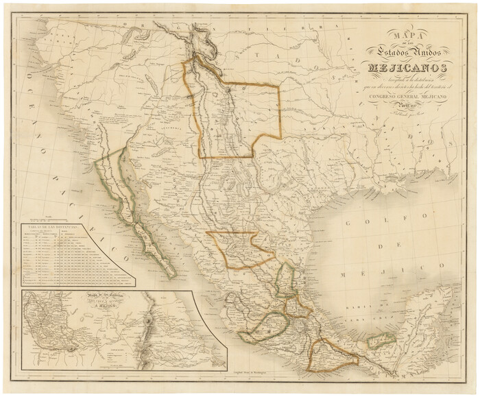
Mapa de los Estados Unidos Mejicanos arreglado a la distribucion que en diversos decretos ha hecho del territorio el Congreso General Mejicano

Print $20.00
- Digital $50.00
Mapa de los Estados Unidos Mejicanos arreglado a la distribucion que en diversos decretos ha hecho del territorio el Congreso General Mejicano
1837
Size 24.3 x 29.4 inches
Map/Doc 96515
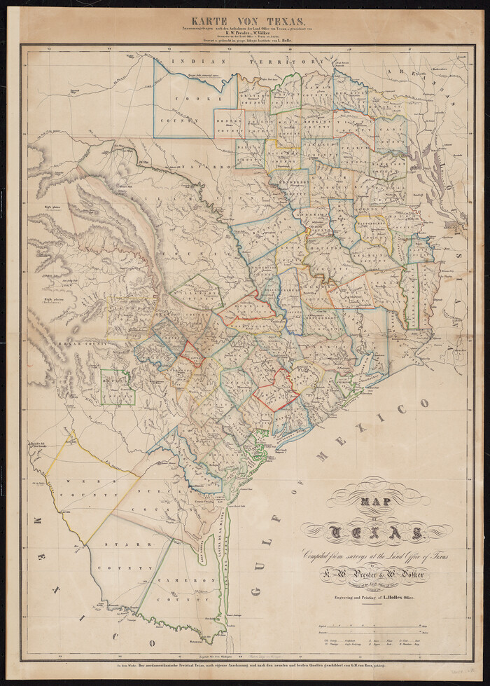
Map of Texas compiled from surveys at the Land Office of Texas

Print $20.00
- Digital $50.00
Map of Texas compiled from surveys at the Land Office of Texas
1851
Size 26.7 x 19.1 inches
Map/Doc 96431
Nuevo Mapa Geographico de la America Septentrional, Perteneciente al Virreynato de Mexico


Print $20.00
- Digital $50.00
Nuevo Mapa Geographico de la America Septentrional, Perteneciente al Virreynato de Mexico
1768
Size 23.1 x 30.3 inches
Map/Doc 93835
Map of the World on Mercator's Projection, flags of all nations and cities of the United States


Print $40.00
- Digital $50.00
Map of the World on Mercator's Projection, flags of all nations and cities of the United States
1874
Size 40.4 x 55.6 inches
Map/Doc 93914
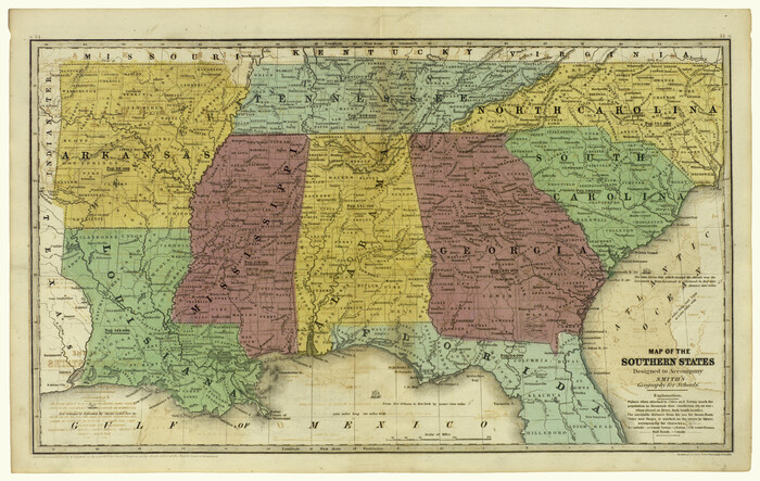
Map of the Southern States designed to accompany Smith's Geography for Schools

Print $20.00
- Digital $50.00
Map of the Southern States designed to accompany Smith's Geography for Schools
1850
Size 12.1 x 19.2 inches
Map/Doc 93888
Map of North America designed to accompany Smith's Geography for Schools


Print $20.00
- Digital $50.00
Map of North America designed to accompany Smith's Geography for Schools
1850
Size 12.0 x 9.9 inches
Map/Doc 93883
The State of Texas


Print $20.00
- Digital $50.00
The State of Texas
1845
Size 18.9 x 23.2 inches
Map/Doc 93870
Smith's Atlas designed to accompany the Geography


Print $352.00
- Digital $50.00
Smith's Atlas designed to accompany the Geography
1850
Size 12.2 x 10.0 inches
Map/Doc 93881
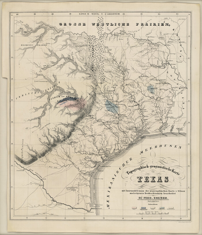
Topographisch-geognostische Karte von Texas mit Zugrundelegung der geographischen Karte v. Wilson nach eigenen Beobachtungen bearbeitet von Dr. Ferd. Roemer

Print $20.00
- Digital $50.00
Topographisch-geognostische Karte von Texas mit Zugrundelegung der geographischen Karte v. Wilson nach eigenen Beobachtungen bearbeitet von Dr. Ferd. Roemer
1849
Size 24.5 x 21.0 inches
Map/Doc 94099
Map of the Western States designed to accompany Smith's Geography for Schools


Print $20.00
- Digital $50.00
Map of the Western States designed to accompany Smith's Geography for Schools
1850
Size 12.2 x 19.1 inches
Map/Doc 93889
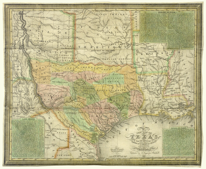
A New Map of Texas with the Contiguous American & Mexican States

Print $20.00
- Digital $50.00
A New Map of Texas with the Contiguous American & Mexican States
1835
Size 12.9 x 15.8 inches
Map/Doc 93853
The History of Texas; or, the Emigrants, Farmer's, and Politician's Guide to the Character, Climate, Soil and Productions of that Country; geographically arranged from personal observation and experience.

Print $692.00
- Digital $50.00
The History of Texas; or, the Emigrants, Farmer's, and Politician's Guide to the Character, Climate, Soil and Productions of that Country; geographically arranged from personal observation and experience.
1836
Size 8.1 x 5.3 inches
Map/Doc 93856
You may also like
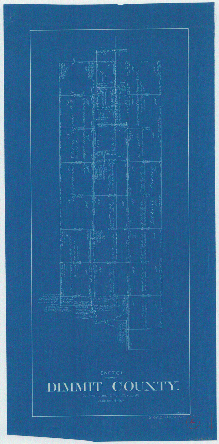
Dimmit County Working Sketch 4

Print $20.00
- Digital $50.00
Dimmit County Working Sketch 4
1911
Size 24.9 x 12.3 inches
Map/Doc 68665
Working Sketch in Glasscock County
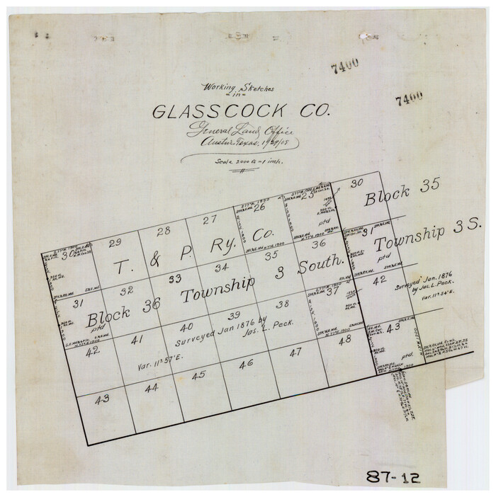

Print $3.00
- Digital $50.00
Working Sketch in Glasscock County
Size 9.8 x 9.8 inches
Map/Doc 90750
Midland County Sketch File 3
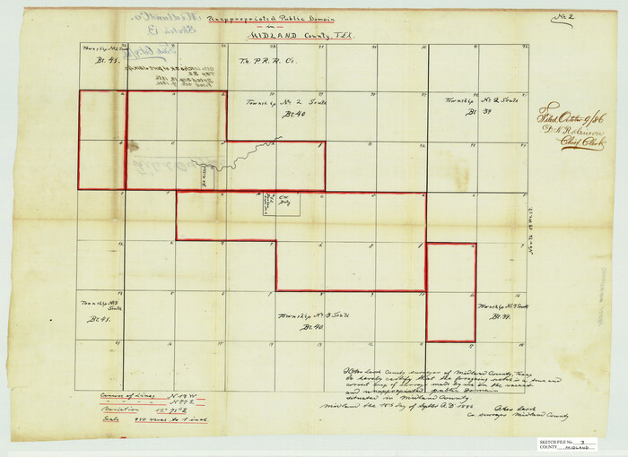

Print $20.00
- Digital $50.00
Midland County Sketch File 3
1886
Size 18.3 x 25.2 inches
Map/Doc 12081
Schleicher County Sketch File 17


Print $20.00
- Digital $50.00
Schleicher County Sketch File 17
Size 23.4 x 17.8 inches
Map/Doc 12299
[Surveys near Onion Creek]
![108, [Surveys near Onion Creek], General Map Collection](https://historictexasmaps.com/wmedia_w700/maps/108-1.tif.jpg)
![108, [Surveys near Onion Creek], General Map Collection](https://historictexasmaps.com/wmedia_w700/maps/108-1.tif.jpg)
Print $2.00
- Digital $50.00
[Surveys near Onion Creek]
1841
Size 11.0 x 7.8 inches
Map/Doc 108
[Blocks A-10, A-11, and A-12]
![92669, [Blocks A-10, A-11, and A-12], Twichell Survey Records](https://historictexasmaps.com/wmedia_w700/maps/92669-1.tif.jpg)
![92669, [Blocks A-10, A-11, and A-12], Twichell Survey Records](https://historictexasmaps.com/wmedia_w700/maps/92669-1.tif.jpg)
Print $20.00
- Digital $50.00
[Blocks A-10, A-11, and A-12]
Size 19.7 x 20.0 inches
Map/Doc 92669
Pecos County Working Sketch Graphic Index - northeast part - sheet B
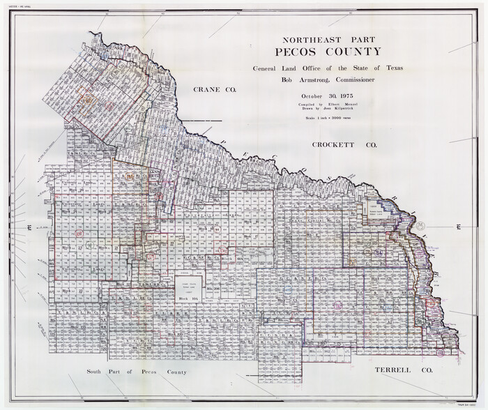

Print $20.00
- Digital $50.00
Pecos County Working Sketch Graphic Index - northeast part - sheet B
1975
Size 36.0 x 42.2 inches
Map/Doc 76667
Flight Mission No. CRC-2R, Frame 135, Chambers County
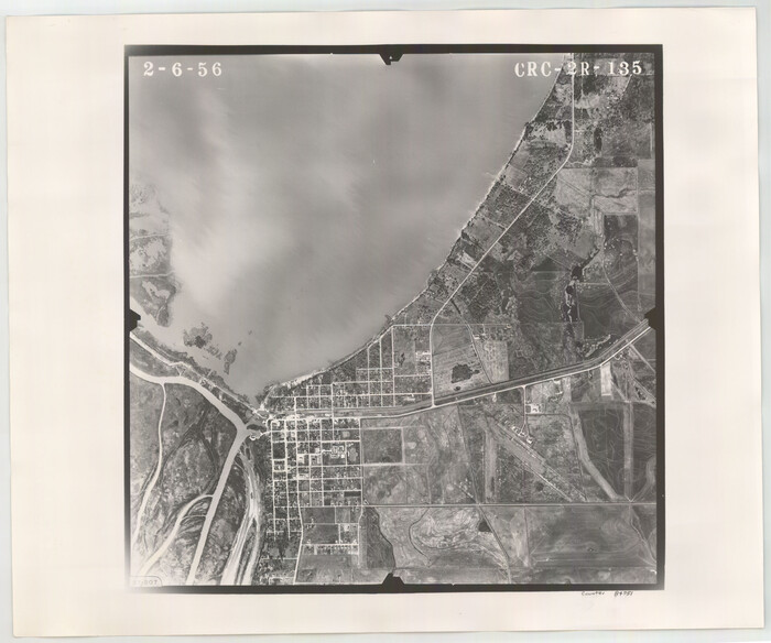

Print $20.00
- Digital $50.00
Flight Mission No. CRC-2R, Frame 135, Chambers County
1956
Size 18.7 x 22.5 inches
Map/Doc 84751
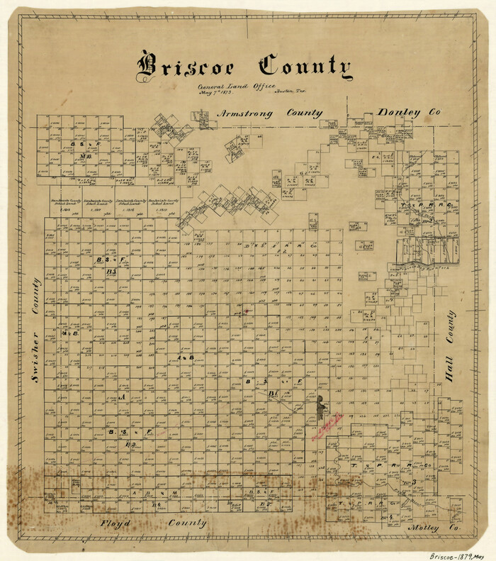
Briscoe County

Print $20.00
- Digital $50.00
Briscoe County
1879
Size 21.7 x 19.3 inches
Map/Doc 3332
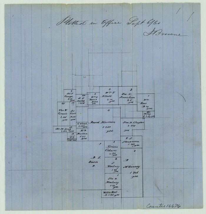
Burnet County Sketch File 4

Print $4.00
- Digital $50.00
Burnet County Sketch File 4
1860
Size 8.2 x 7.9 inches
Map/Doc 16676
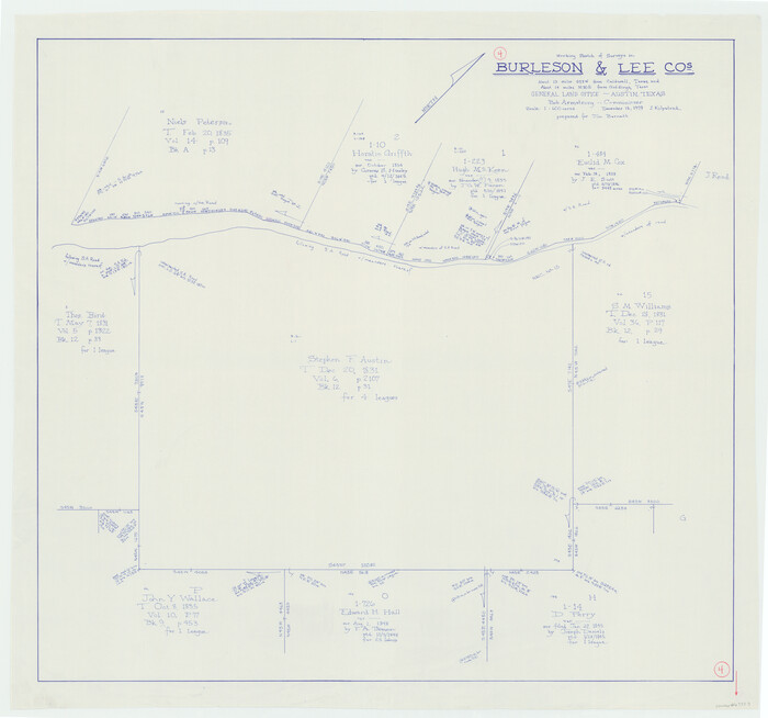
Burleson County Working Sketch 4

Print $20.00
- Digital $50.00
Burleson County Working Sketch 4
1979
Size 33.3 x 35.6 inches
Map/Doc 67723

