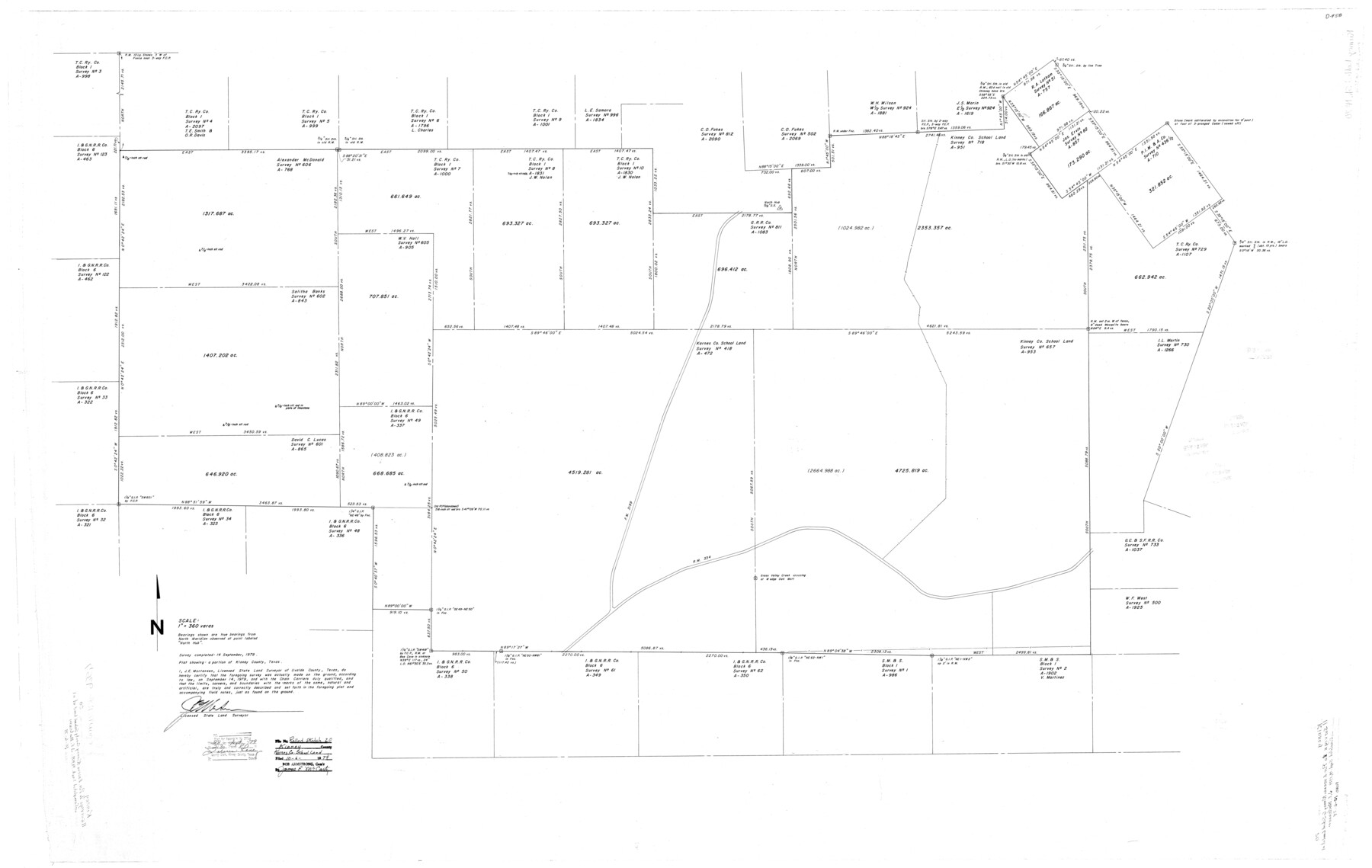
Kinney County Rolled Sketch 20
[Sketch of Karnes and Kinney County School Land surveys]
-
Map/Doc
9357
-
Collection
General Map Collection
-
Object Dates
9/14/1979 (Creation Date)
10/6/1979 (File Date)
-
People and Organizations
James E. Mortensen (Surveyor/Engineer)
-
Counties
Kinney
-
Subjects
Surveying Rolled Sketch
-
Height x Width
37.8 x 59.7 inches
96.0 x 151.6 cm
-
Scale
1" = 360 varas
Part of: General Map Collection
Starr County Working Sketch 1

Print $40.00
- Digital $50.00
Starr County Working Sketch 1
Size 26.7 x 65.5 inches
Map/Doc 63917
Index for Texas Railroad ROW & track maps available on microfilm at THD & Archives and Records

Print $2.00
- Digital $50.00
Index for Texas Railroad ROW & track maps available on microfilm at THD & Archives and Records
1977
Size 11.3 x 8.8 inches
Map/Doc 60760
Brewster County Sketch File N-21

Print $40.00
- Digital $50.00
Brewster County Sketch File N-21
1951
Size 18.0 x 18.6 inches
Map/Doc 10968
San Augustine County Sketch File 5

Print $4.00
San Augustine County Sketch File 5
1858
Size 10.1 x 8.2 inches
Map/Doc 35642
[Aerial photograph from Carancahua Bend of Caney Creek to Cedar Lake]
![78639, [Aerial photograph from Carancahua Bend of Caney Creek to Cedar Lake], General Map Collection](https://historictexasmaps.com/wmedia_w700/maps/78639.tif.jpg)
Print $20.00
- Digital $50.00
[Aerial photograph from Carancahua Bend of Caney Creek to Cedar Lake]
1991
Size 24.4 x 34.0 inches
Map/Doc 78639
Bandera County Working Sketch 1

Print $2.00
- Digital $50.00
Bandera County Working Sketch 1
Size 8.5 x 10.1 inches
Map/Doc 67594
Newton County Working Sketch 3

Print $20.00
- Digital $50.00
Newton County Working Sketch 3
1924
Size 18.2 x 20.6 inches
Map/Doc 71249
Gregg County Rolled Sketch 17

Print $20.00
- Digital $50.00
Gregg County Rolled Sketch 17
1933
Size 14.2 x 27.5 inches
Map/Doc 6041
Harris County Working Sketch 51

Print $20.00
- Digital $50.00
Harris County Working Sketch 51
1947
Size 39.6 x 36.6 inches
Map/Doc 65943
Harris County Sketch File AA-1

Print $20.00
- Digital $50.00
Harris County Sketch File AA-1
Size 19.0 x 26.1 inches
Map/Doc 11646
Map of North America engraved to illustrate Mitchell's new intermediate geography

Print $20.00
- Digital $50.00
Map of North America engraved to illustrate Mitchell's new intermediate geography
1885
Size 12.2 x 9.0 inches
Map/Doc 93512
Kaufman County Sketch File 8

Print $4.00
- Digital $50.00
Kaufman County Sketch File 8
1851
Size 13.3 x 9.2 inches
Map/Doc 28638
You may also like
Comanche County Working Sketch 9

Print $20.00
- Digital $50.00
Comanche County Working Sketch 9
1954
Size 18.6 x 21.5 inches
Map/Doc 68143
Upton County Working Sketch 6

Print $20.00
- Digital $50.00
Upton County Working Sketch 6
1909
Size 17.1 x 27.0 inches
Map/Doc 69502
City of Austin, Texas and Suburban Areas

Print $40.00
- Digital $50.00
City of Austin, Texas and Suburban Areas
1964
Size 48.3 x 34.4 inches
Map/Doc 73563
Goliad County Sketch File 22

Print $12.00
- Digital $50.00
Goliad County Sketch File 22
1855
Size 12.8 x 8.1 inches
Map/Doc 24289
Wilson County Boundary File 5

Print $20.00
- Digital $50.00
Wilson County Boundary File 5
Size 14.4 x 8.7 inches
Map/Doc 60109
Outer Continental Shelf Leasing Maps (Texas Offshore Operations)

Print $20.00
- Digital $50.00
Outer Continental Shelf Leasing Maps (Texas Offshore Operations)
Size 21.0 x 15.2 inches
Map/Doc 75840
Blanco County Working Sketch 28

Print $20.00
- Digital $50.00
Blanco County Working Sketch 28
1969
Size 33.7 x 37.7 inches
Map/Doc 67388
Flight Mission No. DQO-8K, Frame 55, Galveston County

Print $20.00
- Digital $50.00
Flight Mission No. DQO-8K, Frame 55, Galveston County
1952
Size 18.7 x 22.5 inches
Map/Doc 85162
Map of the Interior of Louisiana with a part of New Mexico

Print $20.00
Map of the Interior of Louisiana with a part of New Mexico
1811
Size 11.1 x 14.2 inches
Map/Doc 94269
Starr County Rolled Sketch 36

Print $20.00
- Digital $50.00
Starr County Rolled Sketch 36
1947
Size 34.1 x 35.4 inches
Map/Doc 9941
Concho County Sketch File 8 1/4

Print $20.00
- Digital $50.00
Concho County Sketch File 8 1/4
Size 23.4 x 15.0 inches
Map/Doc 11149
Trinity County Working Sketch 12

Print $20.00
- Digital $50.00
Trinity County Working Sketch 12
1950
Size 46.6 x 36.9 inches
Map/Doc 69461