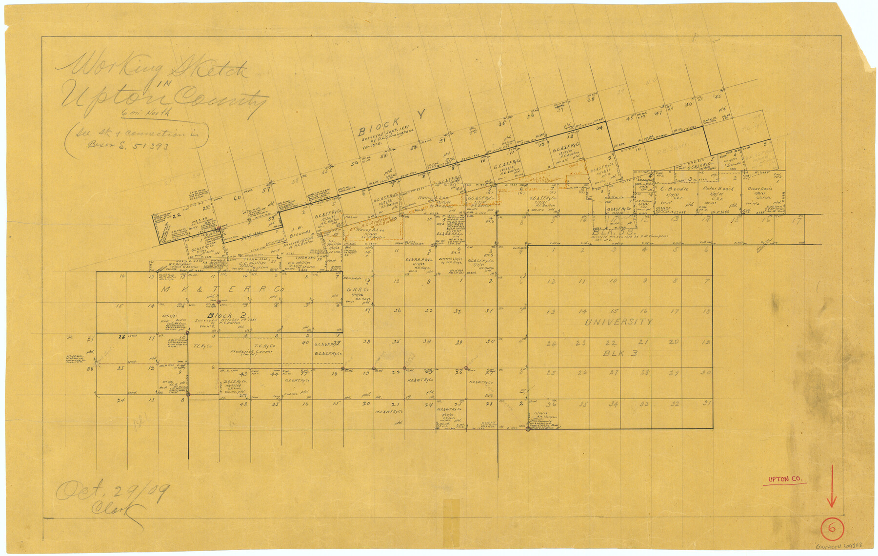
Upton County Working Sketch 6
-
Map/Doc
69502
-
Collection
General Map Collection
-
Object Dates
10/29/1909 (Creation Date)
-
Counties
Upton
-
Subjects
Surveying Working Sketch
-
Height x Width
17.1 x 27.0 inches
43.4 x 68.6 cm
Part of: General Map Collection
Flight Mission No. DIX-5P, Frame 142, Aransas County

Print $20.00
- Digital $50.00
Flight Mission No. DIX-5P, Frame 142, Aransas County
1956
Size 18.0 x 18.0 inches
Map/Doc 83803
Marion County Rolled Sketch F

Print $40.00
- Digital $50.00
Marion County Rolled Sketch F
1937
Size 43.5 x 67.1 inches
Map/Doc 9487
Map of the chief part of the Western States and part of Virginia engraved to illustrate Mitchell's school and family geography

Print $20.00
- Digital $50.00
Map of the chief part of the Western States and part of Virginia engraved to illustrate Mitchell's school and family geography
1839
Size 11.8 x 17.8 inches
Map/Doc 93499
Comanche County Working Sketch 9

Print $20.00
- Digital $50.00
Comanche County Working Sketch 9
1954
Size 18.6 x 21.5 inches
Map/Doc 68143
Leon County Sketch File 33

Print $6.00
- Digital $50.00
Leon County Sketch File 33
1955
Size 14.2 x 9.7 inches
Map/Doc 29834
[Cotton Belt, St. Louis Southwestern Railway of Texas, Alignment through Smith County]
![64381, [Cotton Belt, St. Louis Southwestern Railway of Texas, Alignment through Smith County], General Map Collection](https://historictexasmaps.com/wmedia_w700/maps/64381.tif.jpg)
Print $20.00
- Digital $50.00
[Cotton Belt, St. Louis Southwestern Railway of Texas, Alignment through Smith County]
1903
Size 21.3 x 29.4 inches
Map/Doc 64381
University Land Field Notes for Blocks 21 through 26 in Pecos County

University Land Field Notes for Blocks 21 through 26 in Pecos County
Map/Doc 81722
Liberty County Working Sketch 42

Print $20.00
- Digital $50.00
Liberty County Working Sketch 42
1953
Size 24.0 x 35.8 inches
Map/Doc 70501
Map of the Missouri Pacific Central Branch U.P.R.R. St. Louis, Iron Mountain & Southern International & Great Northern and Texas and Pacific Railways

Print $20.00
- Digital $50.00
Map of the Missouri Pacific Central Branch U.P.R.R. St. Louis, Iron Mountain & Southern International & Great Northern and Texas and Pacific Railways
1890
Size 28.7 x 24.4 inches
Map/Doc 97505
Fort Bend County Rolled Sketch 17

Print $20.00
- Digital $50.00
Fort Bend County Rolled Sketch 17
1997
Size 28.0 x 38.5 inches
Map/Doc 5901
Terry County Sketch File 9

Print $4.00
- Digital $50.00
Terry County Sketch File 9
1917
Size 14.4 x 8.8 inches
Map/Doc 38032
Dallas County

Print $20.00
- Digital $50.00
Dallas County
1942
Size 44.5 x 36.9 inches
Map/Doc 95475
You may also like
Flight Mission No. CGI-1N, Frame 218, Cameron County

Print $20.00
- Digital $50.00
Flight Mission No. CGI-1N, Frame 218, Cameron County
1955
Size 18.6 x 22.1 inches
Map/Doc 84527
Trinity County Rolled Sketch 7

Print $20.00
- Digital $50.00
Trinity County Rolled Sketch 7
1999
Size 24.8 x 36.3 inches
Map/Doc 8054
[Surveys in Waller County]
![78367, [Surveys in Waller County], General Map Collection](https://historictexasmaps.com/wmedia_w700/maps/78367.tif.jpg)
Print $20.00
- Digital $50.00
[Surveys in Waller County]
Size 21.5 x 28.7 inches
Map/Doc 78367
Refugio County Sketch File 2

Print $6.00
- Digital $50.00
Refugio County Sketch File 2
1846
Size 12.6 x 7.7 inches
Map/Doc 35238
Medina County Working Sketch 31

Print $20.00
- Digital $50.00
Medina County Working Sketch 31
1993
Size 27.2 x 20.8 inches
Map/Doc 70946
Nueces County Rolled Sketch 9

Print $20.00
- Digital $50.00
Nueces County Rolled Sketch 9
1909
Size 30.4 x 21.7 inches
Map/Doc 6868
Hays County Working Sketch 3

Print $20.00
- Digital $50.00
Hays County Working Sketch 3
1925
Size 28.2 x 24.1 inches
Map/Doc 66077
Jefferson County Sketch File 43

Print $20.00
- Digital $50.00
Jefferson County Sketch File 43
1957
Size 26.6 x 19.6 inches
Map/Doc 11877
Galveston County

Print $40.00
- Digital $50.00
Galveston County
1939
Size 44.0 x 55.5 inches
Map/Doc 73155
Nueces County NRC Article 33.136 Sketch 21

Print $22.00
Nueces County NRC Article 33.136 Sketch 21
2023
Map/Doc 97087
Crockett County Sketch File 76

Print $2.00
- Digital $50.00
Crockett County Sketch File 76
1933
Size 11.2 x 8.6 inches
Map/Doc 19876
Blanco County Sketch File 25

Print $40.00
- Digital $50.00
Blanco County Sketch File 25
1888
Size 17.1 x 14.2 inches
Map/Doc 14616