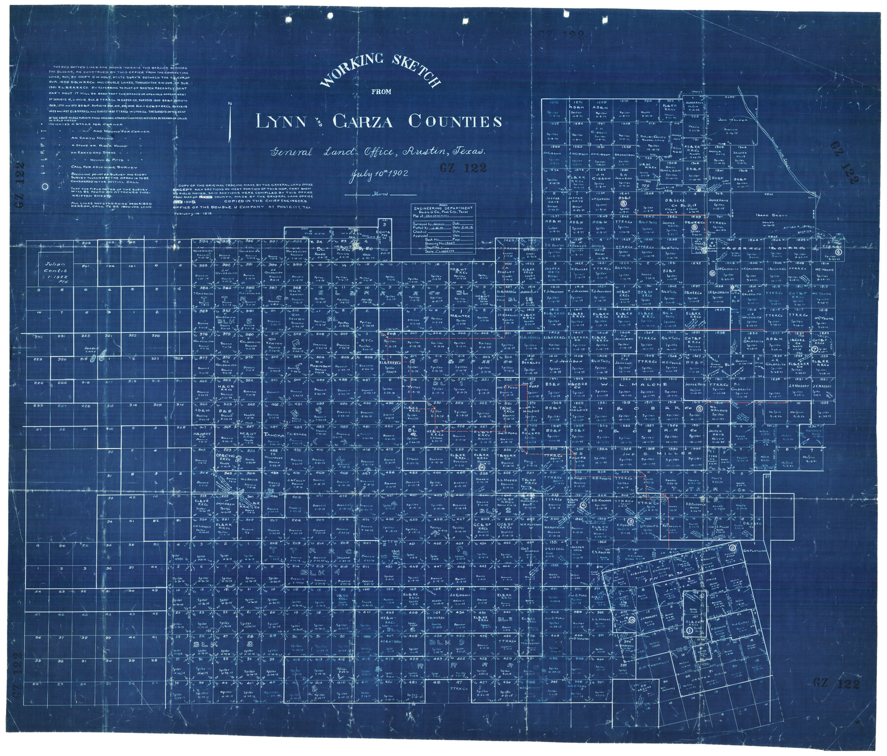
Working Sketch from Lynn & Garza Counties
GZ122
-
Map/Doc
93223
-
Collection
Twichell Survey Records
-
Object Dates
7/10/1902 (Creation Date)
-
Counties
Garza Lynn
-
Height x Width
35.8 x 30.6 inches
90.9 x 77.7 cm
Part of: Twichell Survey Records
D. B. Gardner vs. Mrs. Clara C. Starr

Print $20.00
- Digital $50.00
D. B. Gardner vs. Mrs. Clara C. Starr
Size 16.6 x 30.1 inches
Map/Doc 92148
[Blocks 34-36, Township 3N]
![92028, [Blocks 34-36, Township 3N], Twichell Survey Records](https://historictexasmaps.com/wmedia_w700/maps/92028-1.tif.jpg)
Print $20.00
- Digital $50.00
[Blocks 34-36, Township 3N]
Size 36.5 x 23.7 inches
Map/Doc 92028

Subdivision of Outlots 1 and 2 in Original Townsite of Seagraves, Texas

Print $20.00
- Digital $50.00
Subdivision of Outlots 1 and 2 in Original Townsite of Seagraves, Texas
1955
Size 17.3 x 29.1 inches
Map/Doc 92688
[Block XO3, Parts of Blocks Y2 and 1, and vicinity]
![91182, [Block XO3, Parts of Blocks Y2 and 1, and vicinity], Twichell Survey Records](https://historictexasmaps.com/wmedia_w700/maps/91182-1.tif.jpg)
Print $20.00
- Digital $50.00
[Block XO3, Parts of Blocks Y2 and 1, and vicinity]
Size 13.1 x 13.9 inches
Map/Doc 91182
Evans Addition to Ropes Hockley County, Texas Situated on W. L. Ellwood's Subdivision Number 19 League 9, Donley County School Land

Print $20.00
- Digital $50.00
Evans Addition to Ropes Hockley County, Texas Situated on W. L. Ellwood's Subdivision Number 19 League 9, Donley County School Land
1923
Size 24.2 x 21.0 inches
Map/Doc 92259
[Blocks D and P]
![92490, [Blocks D and P], Twichell Survey Records](https://historictexasmaps.com/wmedia_w700/maps/92490-1.tif.jpg)
Print $20.00
- Digital $50.00
[Blocks D and P]
Size 41.8 x 29.1 inches
Map/Doc 92490
[Surveys to the North and West of the Francis Blundell survey containing townsite]
![90883, [Surveys to the North and West of the Francis Blundell survey containing townsite], Twichell Survey Records](https://historictexasmaps.com/wmedia_w700/maps/90883-1.tif.jpg)
Print $20.00
- Digital $50.00
[Surveys to the North and West of the Francis Blundell survey containing townsite]
Size 26.2 x 19.9 inches
Map/Doc 90883
[Blocks E, Y, C42, 4X, T Showing Portion of Terry-Lynn County Line]
![92276, [Blocks E, Y, C42, 4X, T Showing Portion of Terry-Lynn County Line], Twichell Survey Records](https://historictexasmaps.com/wmedia_w700/maps/92276-1.tif.jpg)
Print $20.00
- Digital $50.00
[Blocks E, Y, C42, 4X, T Showing Portion of Terry-Lynn County Line]
Size 22.9 x 8.3 inches
Map/Doc 92276
[Sketch Showing Exception Number 3 and Exception Number 4]
![91400, [Sketch Showing Exception Number 3 and Exception Number 4], Twichell Survey Records](https://historictexasmaps.com/wmedia_w700/maps/91400-1.tif.jpg)
Print $20.00
- Digital $50.00
[Sketch Showing Exception Number 3 and Exception Number 4]
Size 26.7 x 18.8 inches
Map/Doc 91400
Zappe Land Company's Subdivision of Chas. Butler Lands

Print $20.00
- Digital $50.00
Zappe Land Company's Subdivision of Chas. Butler Lands
Size 20.4 x 16.5 inches
Map/Doc 92735
[Plainview with Highland Addition]
![92662, [Plainview with Highland Addition], Twichell Survey Records](https://historictexasmaps.com/wmedia_w700/maps/92662-1.tif.jpg)
Print $40.00
- Digital $50.00
[Plainview with Highland Addition]
Size 54.0 x 27.4 inches
Map/Doc 92662
You may also like
Hockley County Sketch Mineral Application Number 38245

Print $20.00
- Digital $50.00
Hockley County Sketch Mineral Application Number 38245
1946
Size 40.6 x 18.5 inches
Map/Doc 92243
Harris County Working Sketch 32

Print $20.00
- Digital $50.00
Harris County Working Sketch 32
1936
Size 34.7 x 41.8 inches
Map/Doc 65924
Duval County Sketch File 39

Print $20.00
- Digital $50.00
Duval County Sketch File 39
Size 32.1 x 23.9 inches
Map/Doc 11395
[Location Survey of the Southern Kansas Railway, Kiowa Extension from a point in Drake's Location, in Indian Territory 100 miles from south line of Kansas, continuing up Wolf Creek and South Canadian River to Cottonwood Creek in Hutchinson County]
![88841, [Location Survey of the Southern Kansas Railway, Kiowa Extension from a point in Drake's Location, in Indian Territory 100 miles from south line of Kansas, continuing up Wolf Creek and South Canadian River to Cottonwood Creek in Hutchinson County], General Map Collection](https://historictexasmaps.com/wmedia_w700/maps/88841.tif.jpg)
Print $20.00
- Digital $50.00
[Location Survey of the Southern Kansas Railway, Kiowa Extension from a point in Drake's Location, in Indian Territory 100 miles from south line of Kansas, continuing up Wolf Creek and South Canadian River to Cottonwood Creek in Hutchinson County]
1886
Size 39.1 x 42.0 inches
Map/Doc 88841
Hutchinson County Working Sketch 15

Print $20.00
- Digital $50.00
Hutchinson County Working Sketch 15
1949
Size 26.4 x 15.4 inches
Map/Doc 66373
Sketch of Crosby Co.

Print $20.00
- Digital $50.00
Sketch of Crosby Co.
1884
Size 14.8 x 12.5 inches
Map/Doc 506
Real County Rolled Sketch 11

Print $20.00
- Digital $50.00
Real County Rolled Sketch 11
Size 31.4 x 36.5 inches
Map/Doc 7458
Brazos River, Brazos River Sheet 5

Print $20.00
- Digital $50.00
Brazos River, Brazos River Sheet 5
1926
Size 27.4 x 21.7 inches
Map/Doc 69669
Castro County Sketch File 4j

Print $4.00
- Digital $50.00
Castro County Sketch File 4j
Size 13.5 x 8.7 inches
Map/Doc 17483
Webb County Rolled Sketch 14

Print $20.00
- Digital $50.00
Webb County Rolled Sketch 14
1915
Size 12.6 x 28.5 inches
Map/Doc 8178
Ellwood Farms Situated in Hockley, Lamb, and Hale Counties, Texas

Print $20.00
- Digital $50.00
Ellwood Farms Situated in Hockley, Lamb, and Hale Counties, Texas
Size 21.5 x 32.7 inches
Map/Doc 92227
Houston Ship Channel

Print $20.00
- Digital $50.00
Houston Ship Channel
1926
Size 32.9 x 38.3 inches
Map/Doc 69893