[Sketch of Part of B. S. & F. Block 9]
188-25c
-
Map/Doc
93090
-
Collection
Twichell Survey Records
-
People and Organizations
W.J. Williams (Surveyor/Engineer)
-
Counties
Potter Randall
-
Height x Width
7.6 x 7.4 inches
19.3 x 18.8 cm
Part of: Twichell Survey Records
[Sketch fragment in Garza and Crosby Counties]
![90855, [Sketch fragment in Garza and Crosby Counties], Twichell Survey Records](https://historictexasmaps.com/wmedia_w700/maps/90855-2.tif.jpg)
![90855, [Sketch fragment in Garza and Crosby Counties], Twichell Survey Records](https://historictexasmaps.com/wmedia_w700/maps/90855-2.tif.jpg)
Print $20.00
- Digital $50.00
[Sketch fragment in Garza and Crosby Counties]
Size 32.6 x 17.0 inches
Map/Doc 90855
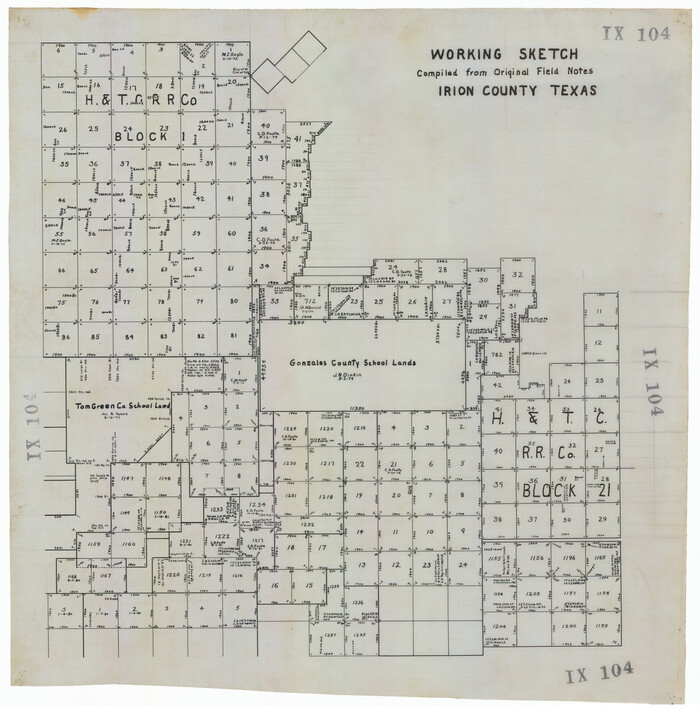
Working Sketch Compiled from Original Field Notes Irion County, Texas

Print $20.00
- Digital $50.00
Working Sketch Compiled from Original Field Notes Irion County, Texas
Size 19.4 x 19.5 inches
Map/Doc 92187
[Worksheets related to the Wilson Strickland survey and vicinity]
![91381, [Worksheets related to the Wilson Strickland survey and vicinity], Twichell Survey Records](https://historictexasmaps.com/wmedia_w700/maps/91381-1.tif.jpg)
![91381, [Worksheets related to the Wilson Strickland survey and vicinity], Twichell Survey Records](https://historictexasmaps.com/wmedia_w700/maps/91381-1.tif.jpg)
Print $20.00
- Digital $50.00
[Worksheets related to the Wilson Strickland survey and vicinity]
Size 20.1 x 24.8 inches
Map/Doc 91381
[Leagues along West line of County]
![90547, [Leagues along West line of County], Twichell Survey Records](https://historictexasmaps.com/wmedia_w700/maps/90547-1.tif.jpg)
![90547, [Leagues along West line of County], Twichell Survey Records](https://historictexasmaps.com/wmedia_w700/maps/90547-1.tif.jpg)
Print $2.00
- Digital $50.00
[Leagues along West line of County]
Size 5.7 x 11.6 inches
Map/Doc 90547
[Blocks 46, XO3, and Y]
![91181, [Blocks 46, XO3, and Y], Twichell Survey Records](https://historictexasmaps.com/wmedia_w700/maps/91181-1.tif.jpg)
![91181, [Blocks 46, XO3, and Y], Twichell Survey Records](https://historictexasmaps.com/wmedia_w700/maps/91181-1.tif.jpg)
Print $3.00
- Digital $50.00
[Blocks 46, XO3, and Y]
Size 9.8 x 16.0 inches
Map/Doc 91181
[Part of North line of County, North of Block G]
![90803, [Part of North line of County, North of Block G], Twichell Survey Records](https://historictexasmaps.com/wmedia_w700/maps/90803-1.tif.jpg)
![90803, [Part of North line of County, North of Block G], Twichell Survey Records](https://historictexasmaps.com/wmedia_w700/maps/90803-1.tif.jpg)
Print $2.00
- Digital $50.00
[Part of North line of County, North of Block G]
Size 11.8 x 4.2 inches
Map/Doc 90803
[North County Line]
![90522, [North County Line], Twichell Survey Records](https://historictexasmaps.com/wmedia_w700/maps/90522-1.tif.jpg)
![90522, [North County Line], Twichell Survey Records](https://historictexasmaps.com/wmedia_w700/maps/90522-1.tif.jpg)
Print $20.00
- Digital $50.00
[North County Line]
Size 18.5 x 7.0 inches
Map/Doc 90522
Post City and Surroundings Showing Improvements and 4 Sec. Pastures


Print $20.00
- Digital $50.00
Post City and Surroundings Showing Improvements and 4 Sec. Pastures
1911
Size 36.4 x 29.8 inches
Map/Doc 90858
Map of Young County


Print $20.00
- Digital $50.00
Map of Young County
Size 25.1 x 29.3 inches
Map/Doc 92803
[Report showing connections and corners made on ground in south part of Yoakum County and north part of Gaines County, Texas]


[Report showing connections and corners made on ground in south part of Yoakum County and north part of Gaines County, Texas]
1938
Size 8.1 x 10.9 inches
Map/Doc 93256
Magnetic Declination in the United States - Epoch 1980


Print $20.00
- Digital $50.00
Magnetic Declination in the United States - Epoch 1980
1980
Size 41.3 x 33.2 inches
Map/Doc 92367
[C. C. Slaughter Block 1, T. T. RR. Co. Block 2]
![90621, [C. C. Slaughter Block 1, T. T. RR. Co. Block 2], Twichell Survey Records](https://historictexasmaps.com/wmedia_w700/maps/90621-1.tif.jpg)
![90621, [C. C. Slaughter Block 1, T. T. RR. Co. Block 2], Twichell Survey Records](https://historictexasmaps.com/wmedia_w700/maps/90621-1.tif.jpg)
Print $2.00
- Digital $50.00
[C. C. Slaughter Block 1, T. T. RR. Co. Block 2]
Size 8.6 x 11.5 inches
Map/Doc 90621
You may also like
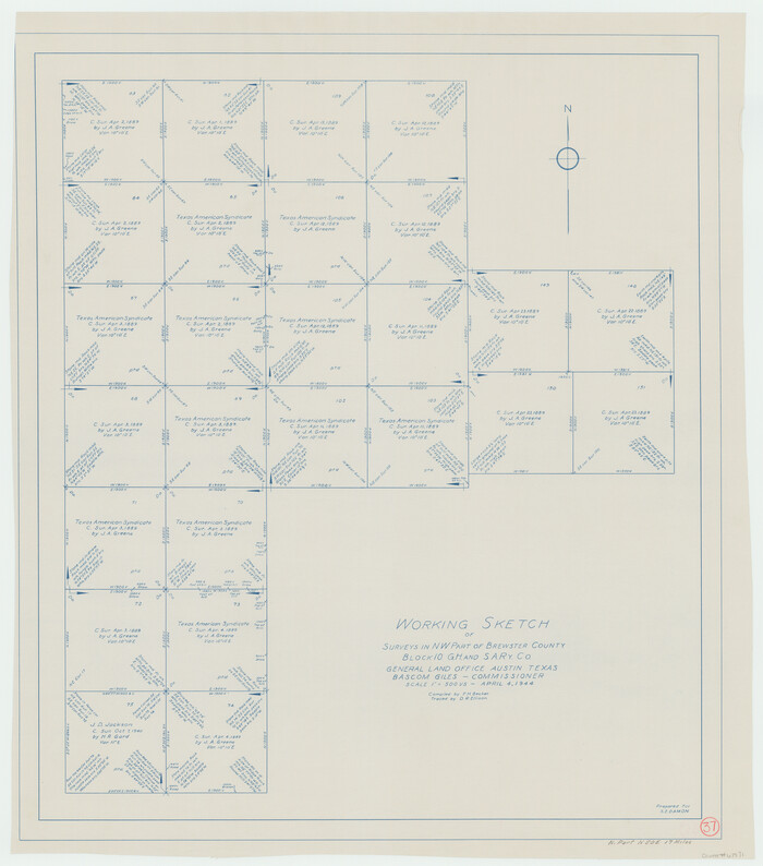
Brewster County Working Sketch 37

Print $20.00
- Digital $50.00
Brewster County Working Sketch 37
1944
Size 32.5 x 28.6 inches
Map/Doc 67571
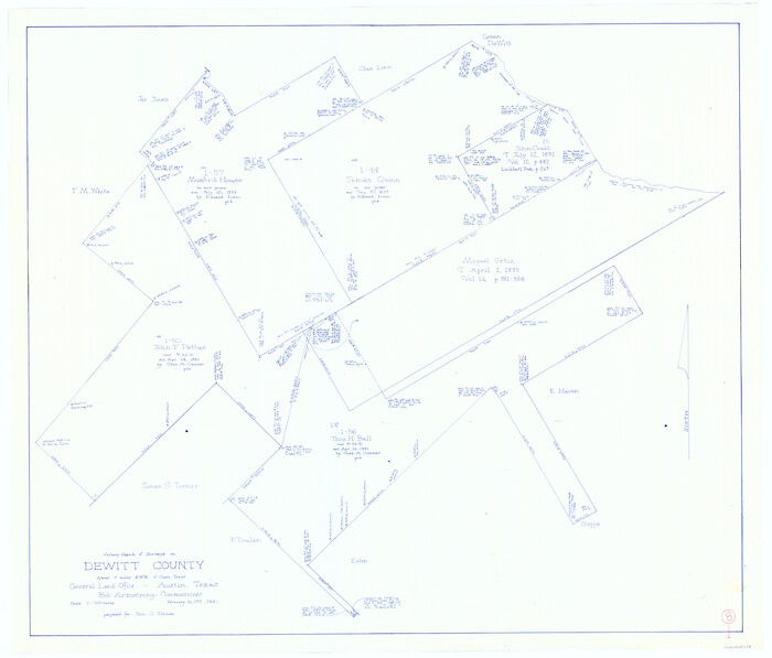
DeWitt County Working Sketch 8

Print $20.00
- Digital $50.00
DeWitt County Working Sketch 8
1979
Size 35.7 x 41.9 inches
Map/Doc 68598
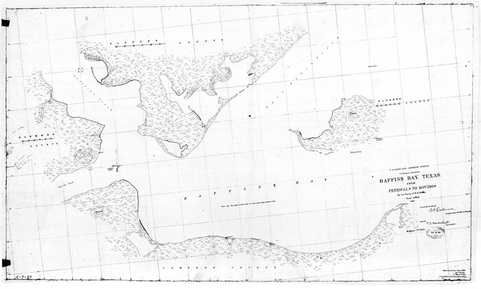
Baffin Bay, Texas from Penescal Triangulation Station to Bovido Triangulation Station

Print $40.00
- Digital $50.00
Baffin Bay, Texas from Penescal Triangulation Station to Bovido Triangulation Station
1881
Size 32.6 x 54.2 inches
Map/Doc 73484
Brewster County Rolled Sketch 23
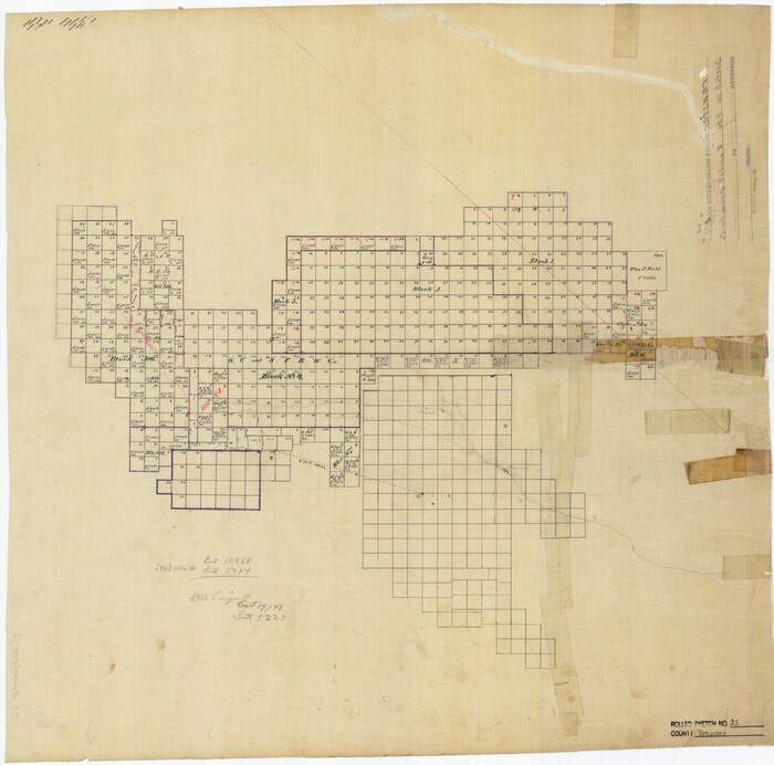

Print $20.00
- Digital $50.00
Brewster County Rolled Sketch 23
Size 24.5 x 24.8 inches
Map/Doc 5207
Upton County Rolled Sketch 29
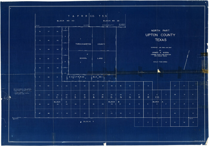

Print $20.00
- Digital $50.00
Upton County Rolled Sketch 29
1947
Size 32.0 x 45.3 inches
Map/Doc 10736
Dimmit County Working Sketch 43
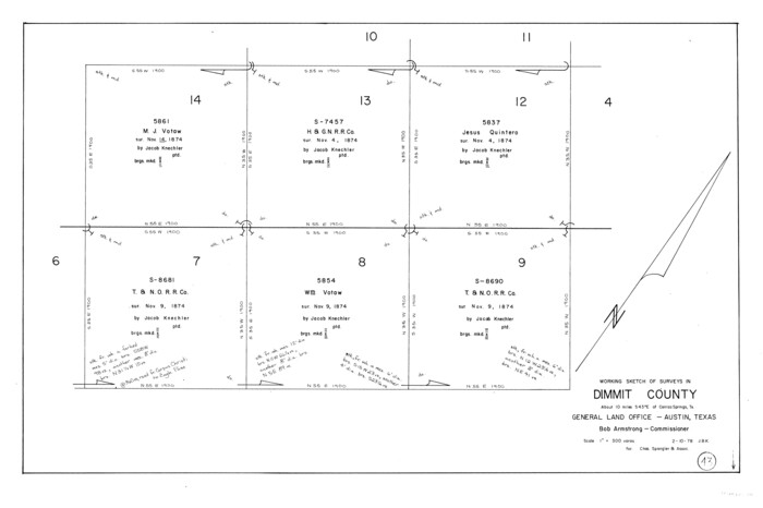

Print $20.00
- Digital $50.00
Dimmit County Working Sketch 43
1978
Size 20.0 x 30.0 inches
Map/Doc 68704
Erath County Working Sketch 33


Print $20.00
- Digital $50.00
Erath County Working Sketch 33
1972
Size 25.1 x 21.0 inches
Map/Doc 69114
Flight Mission No. DQO-1K, Frame 155, Galveston County

Print $20.00
- Digital $50.00
Flight Mission No. DQO-1K, Frame 155, Galveston County
1952
Size 18.9 x 22.5 inches
Map/Doc 85008
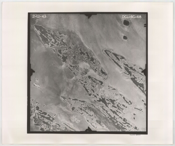
Flight Mission No. DCL-6C, Frame 68, Kenedy County

Print $20.00
- Digital $50.00
Flight Mission No. DCL-6C, Frame 68, Kenedy County
1943
Size 18.6 x 22.4 inches
Map/Doc 85910
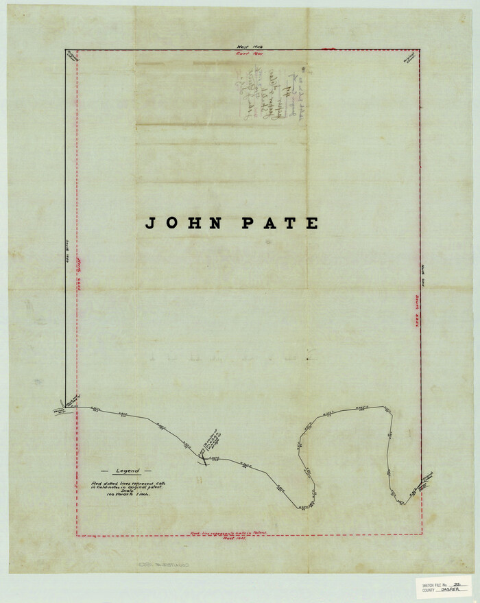
Jasper County Sketch File 32

Print $20.00
- Digital $50.00
Jasper County Sketch File 32
1906
Size 28.0 x 22.3 inches
Map/Doc 11853
Lamar County Working Sketch 7


Print $20.00
- Digital $50.00
Lamar County Working Sketch 7
1964
Size 18.7 x 17.6 inches
Map/Doc 70268
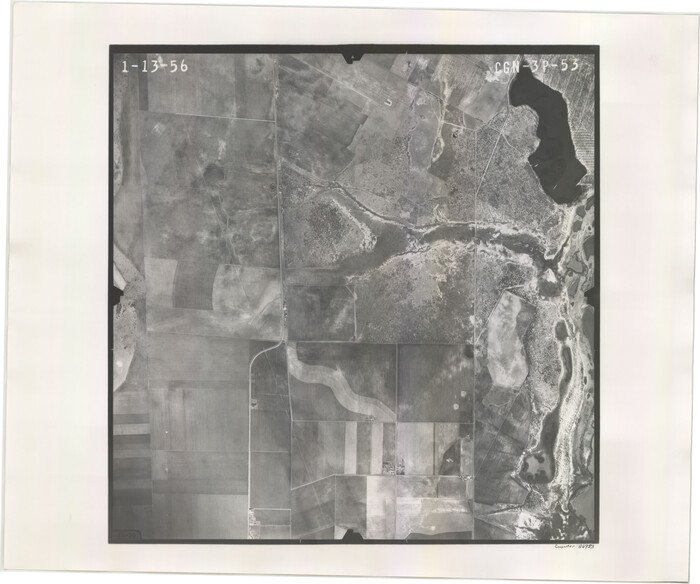
Flight Mission No. CGN-3P, Frame 53, San Patricio County

Print $20.00
- Digital $50.00
Flight Mission No. CGN-3P, Frame 53, San Patricio County
1956
Size 18.6 x 22.3 inches
Map/Doc 86983
![93090, [Sketch of Part of B. S. & F. Block 9], Twichell Survey Records](https://historictexasmaps.com/wmedia_w1800h1800/maps/93090-1.tif.jpg)