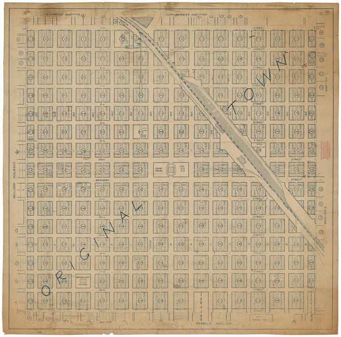
[North County Line]
56-43
-
Map/Doc
90522
-
Collection
Twichell Survey Records
-
Counties
Dallam
-
Height x Width
18.5 x 7.0 inches
47.0 x 17.8 cm
Part of: Twichell Survey Records
[Surveys to the North and West of the Francis Blundell survey containing townsite]
![90884, [Surveys to the North and West of the Francis Blundell survey containing townsite], Twichell Survey Records](https://historictexasmaps.com/wmedia_w700/maps/90884-1.tif.jpg)
![90884, [Surveys to the North and West of the Francis Blundell survey containing townsite], Twichell Survey Records](https://historictexasmaps.com/wmedia_w700/maps/90884-1.tif.jpg)
Print $20.00
- Digital $50.00
[Surveys to the North and West of the Francis Blundell survey containing townsite]
Size 26.3 x 19.8 inches
Map/Doc 90884
St Francis situated in Potter and Carson Counties, Texas
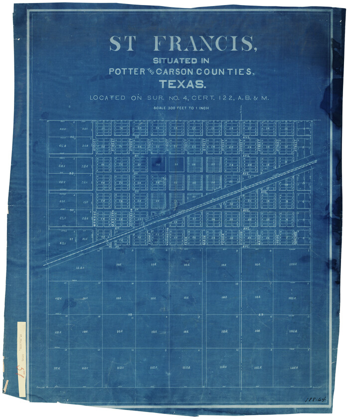

Print $20.00
- Digital $50.00
St Francis situated in Potter and Carson Counties, Texas
Size 22.9 x 27.7 inches
Map/Doc 93078
[Section 114, Block Z2]
![90371, [Section 114, Block Z2], Twichell Survey Records](https://historictexasmaps.com/wmedia_w700/maps/90371-1.tif.jpg)
![90371, [Section 114, Block Z2], Twichell Survey Records](https://historictexasmaps.com/wmedia_w700/maps/90371-1.tif.jpg)
Print $2.00
- Digital $50.00
[Section 114, Block Z2]
1907
Size 8.9 x 10.1 inches
Map/Doc 90371
[H. & T. C. Block 46]
![92980, [H. & T. C. Block 46], Twichell Survey Records](https://historictexasmaps.com/wmedia_w700/maps/92980-1.tif.jpg)
![92980, [H. & T. C. Block 46], Twichell Survey Records](https://historictexasmaps.com/wmedia_w700/maps/92980-1.tif.jpg)
Print $20.00
- Digital $50.00
[H. & T. C. Block 46]
Size 28.5 x 17.9 inches
Map/Doc 92980
Brownfield Plant Arizona Chemical Co.
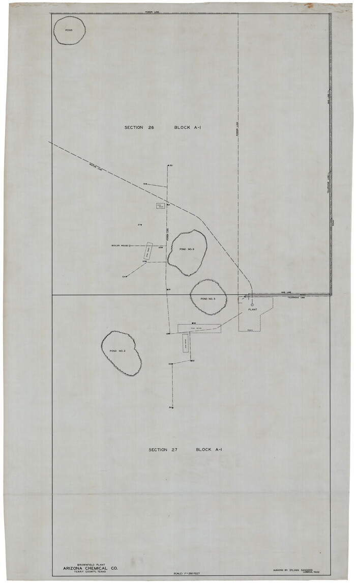

Print $20.00
- Digital $50.00
Brownfield Plant Arizona Chemical Co.
Size 27.0 x 44.4 inches
Map/Doc 92417
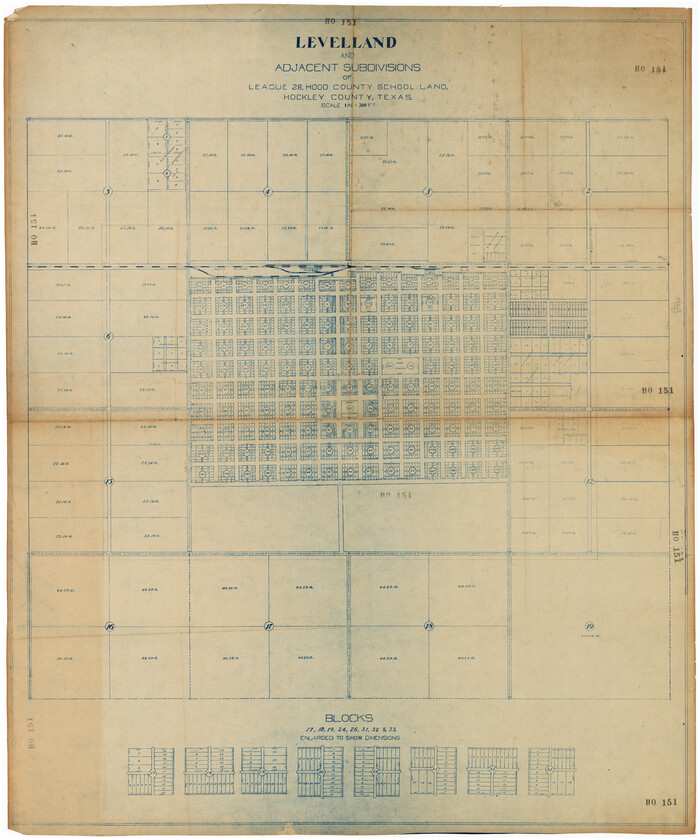
Leveland and Adjacent Subdivisions of League 28, Hood County School Land Hockley County, Texas

Print $40.00
- Digital $50.00
Leveland and Adjacent Subdivisions of League 28, Hood County School Land Hockley County, Texas
Size 42.4 x 50.4 inches
Map/Doc 89848
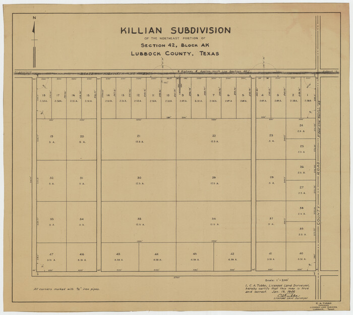
Killian Subdivision of the Northeast Portion of Section 42, Block AK

Print $20.00
- Digital $50.00
Killian Subdivision of the Northeast Portion of Section 42, Block AK
Size 15.9 x 14.1 inches
Map/Doc 92267
University of Texas System University Lands


Print $20.00
- Digital $50.00
University of Texas System University Lands
1933
Size 23.0 x 17.7 inches
Map/Doc 93248
You may also like
K&E Paragon N4238 Compensating Polar Planimeter
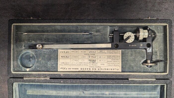

K&E Paragon N4238 Compensating Polar Planimeter
1930
Size 1.5 x 9.3 inches
Map/Doc 97308
Hopkins County


Print $20.00
- Digital $50.00
Hopkins County
1942
Size 44.1 x 40.9 inches
Map/Doc 73183
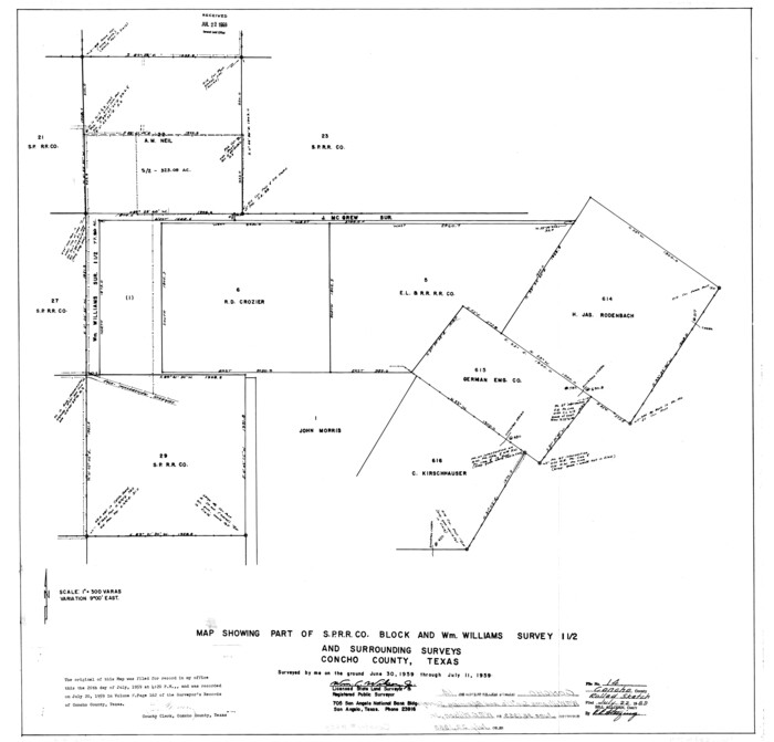
Concho County Rolled Sketch 14

Print $20.00
- Digital $50.00
Concho County Rolled Sketch 14
1959
Size 29.9 x 31.2 inches
Map/Doc 8659
General Highway Map, Castro County, Texas


Print $20.00
General Highway Map, Castro County, Texas
1961
Size 18.2 x 24.7 inches
Map/Doc 79403
John H. Wills' Official Map of Amarillo, Potter Counter, Texas


Print $40.00
- Digital $50.00
John H. Wills' Official Map of Amarillo, Potter Counter, Texas
1909
Size 48.9 x 45.4 inches
Map/Doc 93118
Walker County Working Sketch 4
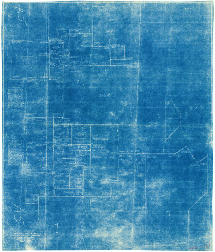

Print $20.00
- Digital $50.00
Walker County Working Sketch 4
1934
Size 34.9 x 29.7 inches
Map/Doc 72284
McClennan County Robertson District East of the Brazos Milam District West of the Brazos
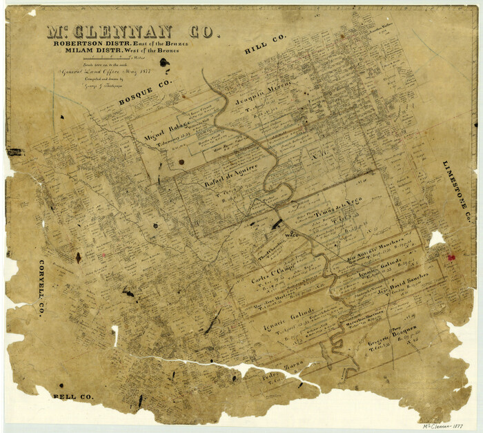

Print $20.00
- Digital $50.00
McClennan County Robertson District East of the Brazos Milam District West of the Brazos
1877
Size 21.9 x 24.5 inches
Map/Doc 3864
The Republic County of Brazos. Created, January 30, 1841


Print $20.00
The Republic County of Brazos. Created, January 30, 1841
2020
Size 20.6 x 21.7 inches
Map/Doc 96116
General Highway Map, Hill County, Texas


Print $20.00
General Highway Map, Hill County, Texas
1940
Size 25.0 x 18.6 inches
Map/Doc 79129
![90522, [North County Line], Twichell Survey Records](https://historictexasmaps.com/wmedia_w1800h1800/maps/90522-1.tif.jpg)
![91541, [Capitol Lands], Twichell Survey Records](https://historictexasmaps.com/wmedia_w700/maps/91541-2.tif.jpg)

