[B. S. & F. Block 9 and surrounding area]
188-8
-
Map/Doc
93070
-
Collection
Twichell Survey Records
-
Counties
Potter
-
Height x Width
18.3 x 26.1 inches
46.5 x 66.3 cm
Part of: Twichell Survey Records
A true copy of Peck's field book No. 7 pages 50 to 55, except classfication of lands


Print $40.00
- Digital $50.00
A true copy of Peck's field book No. 7 pages 50 to 55, except classfication of lands
Size 6.1 x 54.3 inches
Map/Doc 89666
Terry County School Land, Gaines County, Texas


Print $20.00
- Digital $50.00
Terry County School Land, Gaines County, Texas
Size 15.6 x 24.7 inches
Map/Doc 92678
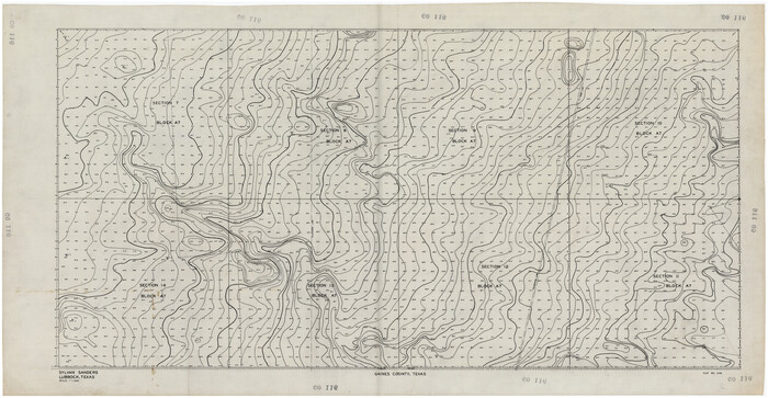
Gaines County, Texas

Print $40.00
- Digital $50.00
Gaines County, Texas
Size 60.0 x 31.3 inches
Map/Doc 89684
[University Lands Blocks 16-20]
![91628, [University Lands Blocks 16-20], Twichell Survey Records](https://historictexasmaps.com/wmedia_w700/maps/91628-1.tif.jpg)
![91628, [University Lands Blocks 16-20], Twichell Survey Records](https://historictexasmaps.com/wmedia_w700/maps/91628-1.tif.jpg)
Print $3.00
- Digital $50.00
[University Lands Blocks 16-20]
Size 14.5 x 11.2 inches
Map/Doc 91628
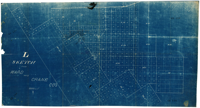
Sketch from Ward and Crane Counties

Print $20.00
- Digital $50.00
Sketch from Ward and Crane Counties
Size 42.9 x 23.6 inches
Map/Doc 92557
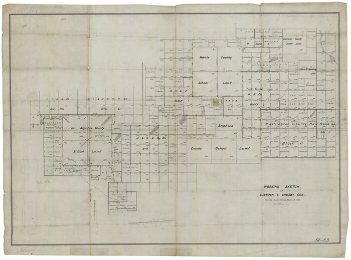
Working Sketch in Lubbock and Crosby Cos.

Print $20.00
- Digital $50.00
Working Sketch in Lubbock and Crosby Cos.
1903
Size 35.6 x 26.6 inches
Map/Doc 90504
[Block 3 on East side of County]
![90606, [Block 3 on East side of County], Twichell Survey Records](https://historictexasmaps.com/wmedia_w700/maps/90606-1.tif.jpg)
![90606, [Block 3 on East side of County], Twichell Survey Records](https://historictexasmaps.com/wmedia_w700/maps/90606-1.tif.jpg)
Print $20.00
- Digital $50.00
[Block 3 on East side of County]
Size 16.9 x 19.8 inches
Map/Doc 90606
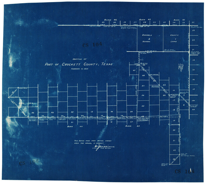
Sketch of Part of Crockett County, Texas

Print $20.00
- Digital $50.00
Sketch of Part of Crockett County, Texas
1925
Size 20.0 x 18.0 inches
Map/Doc 92545
[Worksheets related to the Wilson Strickland survey and vicinity]
![91383, [Worksheets related to the Wilson Strickland survey and vicinity], Twichell Survey Records](https://historictexasmaps.com/wmedia_w700/maps/91383-1.tif.jpg)
![91383, [Worksheets related to the Wilson Strickland survey and vicinity], Twichell Survey Records](https://historictexasmaps.com/wmedia_w700/maps/91383-1.tif.jpg)
Print $20.00
- Digital $50.00
[Worksheets related to the Wilson Strickland survey and vicinity]
Size 36.0 x 15.7 inches
Map/Doc 91383
Umbarger in Randall County, Texas


Print $20.00
- Digital $50.00
Umbarger in Randall County, Texas
1905
Size 31.9 x 30.8 inches
Map/Doc 92158
Canyon City,Texas, County Seat of Randall County
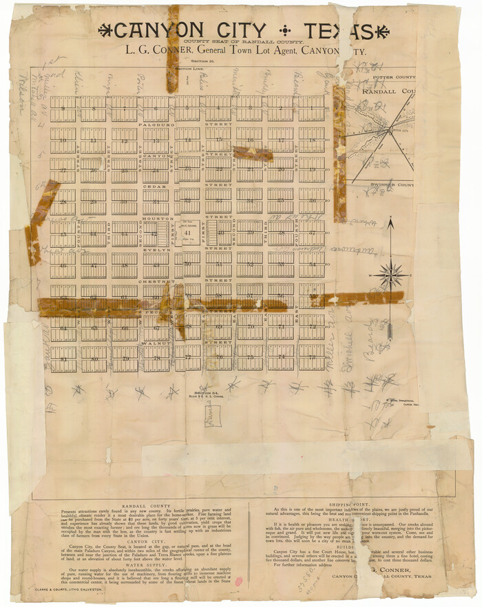

Print $20.00
- Digital $50.00
Canyon City,Texas, County Seat of Randall County
Size 20.3 x 25.1 inches
Map/Doc 92152
You may also like
[Map of Located Land of Gulf, Colorado & Santa Fe Ry. Co. through Denton]
![64340, [Map of Located Land of Gulf, Colorado & Santa Fe Ry. Co. through Denton], General Map Collection](https://historictexasmaps.com/wmedia_w700/maps/64340.tif.jpg)
![64340, [Map of Located Land of Gulf, Colorado & Santa Fe Ry. Co. through Denton], General Map Collection](https://historictexasmaps.com/wmedia_w700/maps/64340.tif.jpg)
Print $40.00
- Digital $50.00
[Map of Located Land of Gulf, Colorado & Santa Fe Ry. Co. through Denton]
Size 122.8 x 28.3 inches
Map/Doc 64340
Reagan County
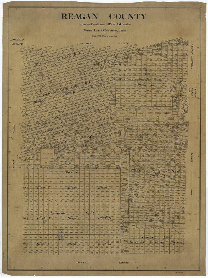

Print $40.00
- Digital $50.00
Reagan County
1915
Size 51.6 x 38.6 inches
Map/Doc 73340
Red River County


Print $20.00
- Digital $50.00
Red River County
1896
Size 24.3 x 21.5 inches
Map/Doc 3977
Boundaries of Robertson's Colony and of Milam's Colony


Print $6.00
- Digital $50.00
Boundaries of Robertson's Colony and of Milam's Colony
1840
Size 9.5 x 14.8 inches
Map/Doc 1949
Atascosa County Sketch File 1a
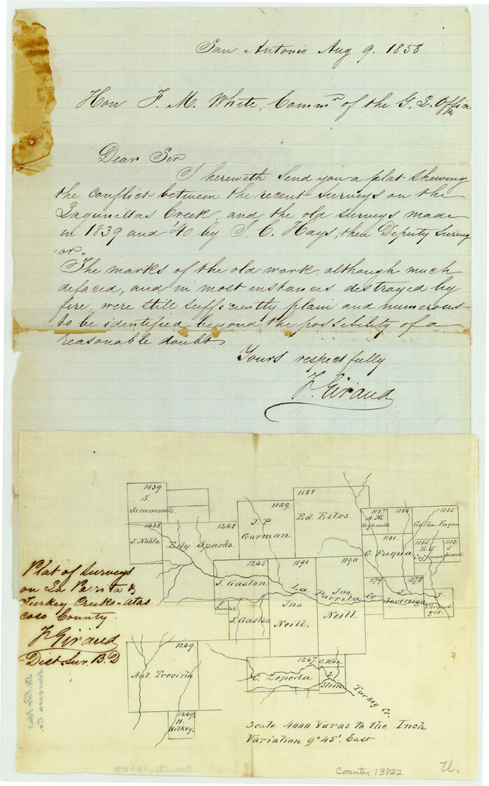

Print $4.00
- Digital $50.00
Atascosa County Sketch File 1a
1858
Size 14.1 x 8.8 inches
Map/Doc 13722
Val Verde County, Texas, E. L. & R. R. Ry. Block D7 showing beginning point and direction of certain surveys
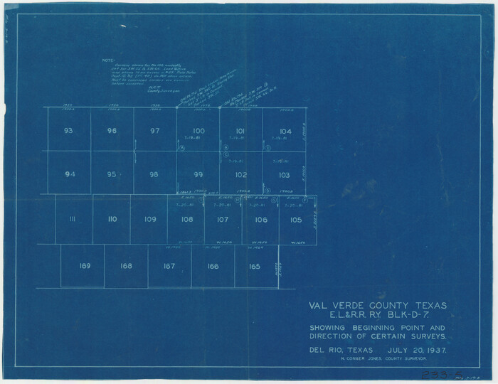

Print $20.00
- Digital $50.00
Val Verde County, Texas, E. L. & R. R. Ry. Block D7 showing beginning point and direction of certain surveys
1937
Size 22.1 x 17.0 inches
Map/Doc 91950
Harris County Sketch File 58
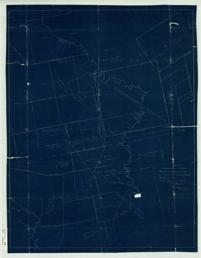

Print $20.00
- Digital $50.00
Harris County Sketch File 58
1920
Size 27.6 x 21.4 inches
Map/Doc 11657
Travis County Working Sketch 64
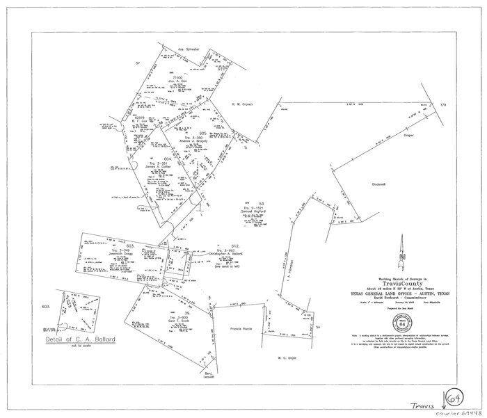

Print $20.00
- Digital $50.00
Travis County Working Sketch 64
2000
Size 16.8 x 19.6 inches
Map/Doc 69448
Harris County Sketch File 17


Print $4.00
- Digital $50.00
Harris County Sketch File 17
1860
Size 5.8 x 5.6 inches
Map/Doc 25361
Map of Taylor, Bastrop & Houston Railroad in Williamson, Travis, & Bastrop Counties, Texas


Print $20.00
- Digital $50.00
Map of Taylor, Bastrop & Houston Railroad in Williamson, Travis, & Bastrop Counties, Texas
1887
Size 26.3 x 17.8 inches
Map/Doc 65468
Culberson County Rolled Sketch 34
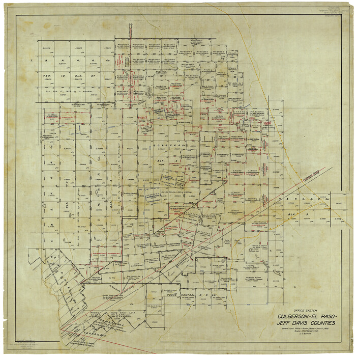

Print $20.00
- Digital $50.00
Culberson County Rolled Sketch 34
1938
Size 43.5 x 43.6 inches
Map/Doc 8749
Travis County Working Sketch 17
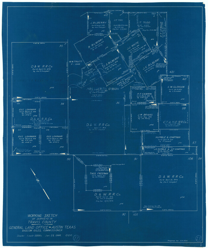

Print $20.00
- Digital $50.00
Travis County Working Sketch 17
1944
Size 27.8 x 23.3 inches
Map/Doc 69401
![93070, [B. S. & F. Block 9 and surrounding area], Twichell Survey Records](https://historictexasmaps.com/wmedia_w1800h1800/maps/93070-1.tif.jpg)
![91538, [Block 3T], Twichell Survey Records](https://historictexasmaps.com/wmedia_w700/maps/91538-1.tif.jpg)