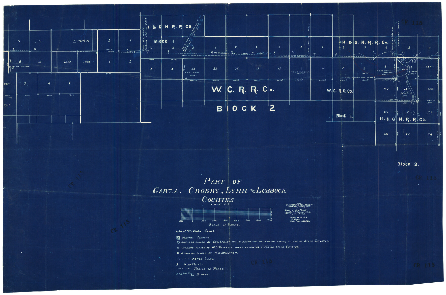
Part of Garza, Crosby, Lynn, and Lubbock Counties
CR115
-
Map/Doc
92560
-
Collection
Twichell Survey Records
-
Object Dates
8/1912 (Creation Date)
-
Counties
Crosby
-
Height x Width
39.6 x 26.0 inches
100.6 x 66.0 cm
Part of: Twichell Survey Records
[Unknown Connecting Line]
![92040, [Unknown Connecting Line], Twichell Survey Records](https://historictexasmaps.com/wmedia_w700/maps/92040-1.tif.jpg)
Print $20.00
- Digital $50.00
[Unknown Connecting Line]
Size 28.1 x 23.0 inches
Map/Doc 92040
[Plat map showing mostly Overton Addition]
![92812, [Plat map showing mostly Overton Addition], Twichell Survey Records](https://historictexasmaps.com/wmedia_w700/maps/92812-1.tif.jpg)
Print $20.00
- Digital $50.00
[Plat map showing mostly Overton Addition]
Size 31.9 x 31.3 inches
Map/Doc 92812
Howard T. Trigg's Official Map of Amarillo

Print $40.00
- Digital $50.00
Howard T. Trigg's Official Map of Amarillo
Size 79.1 x 54.0 inches
Map/Doc 93196
[County School Land for Shackelford, Reeves, Hardeman, Val Verde, Hood, Martin, Rusk, Atascosa, and Edwards Counties]
![91114, [County School Land for Shackelford, Reeves, Hardeman, Val Verde, Hood, Martin, Rusk, Atascosa, and Edwards Counties], Twichell Survey Records](https://historictexasmaps.com/wmedia_w700/maps/91114-1.tif.jpg)
Print $2.00
- Digital $50.00
[County School Land for Shackelford, Reeves, Hardeman, Val Verde, Hood, Martin, Rusk, Atascosa, and Edwards Counties]
Size 8.2 x 5.9 inches
Map/Doc 91114
[Northeast Portion of Kaufman County]
![91028, [Northeast Portion of Kaufman County], Twichell Survey Records](https://historictexasmaps.com/wmedia_w700/maps/91028-1.tif.jpg)
Print $20.00
- Digital $50.00
[Northeast Portion of Kaufman County]
Size 40.1 x 37.0 inches
Map/Doc 91028
Section H Tech Memorial Park, Inc.

Print $20.00
- Digital $50.00
Section H Tech Memorial Park, Inc.
Size 18.0 x 11.3 inches
Map/Doc 92302
Map Showing a Resurvey of Part of Blk. I, H. &. G. N. Ry. Co. Pecos County, Texas, following field notes copied from Jacob Kuechler's field book of his original survey made in October and November 1876

Print $20.00
- Digital $50.00
Map Showing a Resurvey of Part of Blk. I, H. &. G. N. Ry. Co. Pecos County, Texas, following field notes copied from Jacob Kuechler's field book of his original survey made in October and November 1876
1930
Size 19.2 x 14.4 inches
Map/Doc 91549
[Sketch showing Block M-3]
![91708, [Sketch showing Block M-3], Twichell Survey Records](https://historictexasmaps.com/wmedia_w700/maps/91708-1.tif.jpg)
Print $20.00
- Digital $50.00
[Sketch showing Block M-3]
Size 7.0 x 21.2 inches
Map/Doc 91708
Highland Place an Addition to City of Lubbock

Print $20.00
- Digital $50.00
Highland Place an Addition to City of Lubbock
Size 25.9 x 22.1 inches
Map/Doc 92844
[Block 28, Showing Edwards Ranch]
![91499, [Block 28, Showing Edwards Ranch], Twichell Survey Records](https://historictexasmaps.com/wmedia_w700/maps/91499-1.tif.jpg)
Print $3.00
- Digital $50.00
[Block 28, Showing Edwards Ranch]
Size 17.0 x 8.9 inches
Map/Doc 91499
[Parts of Blocks Z, L, M-21, M-15, and 46]
![91831, [Parts of Blocks Z, L, M-21, M-15, and 46], Twichell Survey Records](https://historictexasmaps.com/wmedia_w700/maps/91831-1.tif.jpg)
Print $20.00
- Digital $50.00
[Parts of Blocks Z, L, M-21, M-15, and 46]
Size 21.2 x 16.7 inches
Map/Doc 91831
[G. C. & S. F. Ry. Co. Block H, E. L. & R. R. Ry. Co. Block D7 and vicinity]
![91864, [G. C. & S. F. Ry. Co. Block H, E. L. & R. R. Ry. Co. Block D7 and vicinity], Twichell Survey Records](https://historictexasmaps.com/wmedia_w700/maps/91864-1.tif.jpg)
Print $20.00
- Digital $50.00
[G. C. & S. F. Ry. Co. Block H, E. L. & R. R. Ry. Co. Block D7 and vicinity]
Size 15.0 x 18.5 inches
Map/Doc 91864
You may also like
Bastrop County Rolled Sketch 5

Print $20.00
- Digital $50.00
Bastrop County Rolled Sketch 5
2013
Size 24.9 x 36.9 inches
Map/Doc 93715
Property Line Map, Low Rent Housing Project Texas 18-1, Housing Authority of the City of Lubbock

Print $20.00
- Digital $50.00
Property Line Map, Low Rent Housing Project Texas 18-1, Housing Authority of the City of Lubbock
1941
Size 42.2 x 27.9 inches
Map/Doc 92753
Texas 1971 Official State Highway Map

Digital $50.00
Texas 1971 Official State Highway Map
Size 28.3 x 36.5 inches
Map/Doc 94316
Brazos River Conservation and Reclamation District Official Boundary Line Survey, Parmer County

Print $20.00
- Digital $50.00
Brazos River Conservation and Reclamation District Official Boundary Line Survey, Parmer County
Size 24.6 x 16.8 inches
Map/Doc 91659
Water Valley Sheet, North Concho River, Tom Green County

Print $20.00
- Digital $50.00
Water Valley Sheet, North Concho River, Tom Green County
1937
Size 23.6 x 19.1 inches
Map/Doc 65305
Map Showing Relative Position of Tankersley Survey, its Subdivisions and Surrounding Surveys, Young County, Texas

Print $20.00
- Digital $50.00
Map Showing Relative Position of Tankersley Survey, its Subdivisions and Surrounding Surveys, Young County, Texas
1921
Size 22.3 x 20.3 inches
Map/Doc 92020
Sabine County Sketch File 6b

Print $4.00
Sabine County Sketch File 6b
1879
Size 8.1 x 9.0 inches
Map/Doc 35617
Wharton County Sketch File A1

Print $20.00
- Digital $50.00
Wharton County Sketch File A1
1895
Size 15.6 x 36.4 inches
Map/Doc 12669
Montgomery County Working Sketch 18

Print $20.00
- Digital $50.00
Montgomery County Working Sketch 18
1935
Size 34.0 x 39.1 inches
Map/Doc 71125
Montague County Rolled Sketch 7

Print $20.00
- Digital $50.00
Montague County Rolled Sketch 7
Size 17.8 x 22.9 inches
Map/Doc 6791
Working Sketch in Stephens County

Print $2.00
- Digital $50.00
Working Sketch in Stephens County
1919
Size 9.2 x 11.4 inches
Map/Doc 91911
[Right of Way & Track Map, The Texas & Pacific Ry. Co. Main Line]
![64675, [Right of Way & Track Map, The Texas & Pacific Ry. Co. Main Line], General Map Collection](https://historictexasmaps.com/wmedia_w700/maps/64675.tif.jpg)
Print $20.00
- Digital $50.00
[Right of Way & Track Map, The Texas & Pacific Ry. Co. Main Line]
Size 11.0 x 18.4 inches
Map/Doc 64675