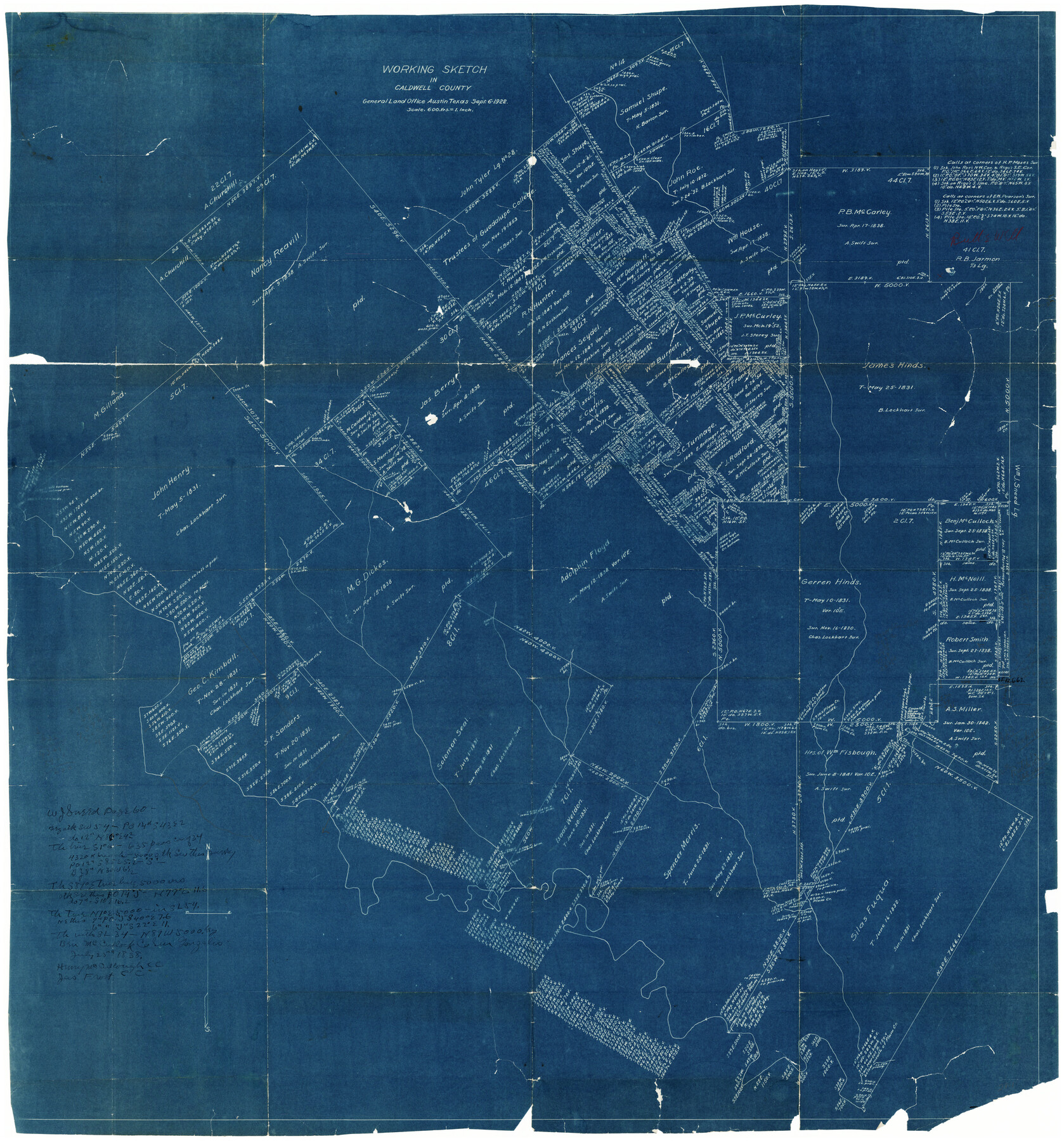
Working Sketch in Caldwell County
28-1
-
Map/Doc
93035
-
Collection
Twichell Survey Records
-
Object Dates
9/6/1922 (Creation Date)
-
People and Organizations
General Land Office (Publisher)
-
Counties
Caldwell
-
Height x Width
40.2 x 43.3 inches
102.1 x 110.0 cm
Part of: Twichell Survey Records
[T. & P. Block 36, Townships 3N - 5N]
![90552, [T. & P. Block 36, Townships 3N - 5N], Twichell Survey Records](https://historictexasmaps.com/wmedia_w700/maps/90552.tif.jpg)
Print $20.00
- Digital $50.00
[T. & P. Block 36, Townships 3N - 5N]
Size 15.5 x 47.8 inches
Map/Doc 90552
Conoco Official Road Map New Mexico

Print $20.00
- Digital $50.00
Conoco Official Road Map New Mexico
1934
Size 18.5 x 24.4 inches
Map/Doc 92436
[Sketch of sections 59-64, I. & G. N. Block 1 and part of Block Z]
![93167, [Sketch of sections 59-64, I. & G. N. Block 1 and part of Block Z], Twichell Survey Records](https://historictexasmaps.com/wmedia_w700/maps/93167-1.tif.jpg)
Print $40.00
- Digital $50.00
[Sketch of sections 59-64, I. & G. N. Block 1 and part of Block Z]
Size 74.8 x 43.5 inches
Map/Doc 93167
Arthur E. Miller Irrigated Farm West Half Section 19, Block D6

Print $20.00
- Digital $50.00
Arthur E. Miller Irrigated Farm West Half Section 19, Block D6
Size 11.9 x 21.8 inches
Map/Doc 92317
Jones Subdivision of Sections 28 and 32, Block "A' and Section 2, Block "D3"

Print $2.00
- Digital $50.00
Jones Subdivision of Sections 28 and 32, Block "A' and Section 2, Block "D3"
1928
Size 8.7 x 8.7 inches
Map/Doc 92708
[Capitol Leagues 217-228, 238, and vicinity]
![90693, [Capitol Leagues 217-228, 238, and vicinity], Twichell Survey Records](https://historictexasmaps.com/wmedia_w700/maps/90693-1.tif.jpg)
Print $20.00
- Digital $50.00
[Capitol Leagues 217-228, 238, and vicinity]
Size 24.7 x 10.6 inches
Map/Doc 90693
[Blocks JK, JK4, JD, A1, and A2]
![90748, [Blocks JK, JK4, JD, A1, and A2], Twichell Survey Records](https://historictexasmaps.com/wmedia_w700/maps/90748-1.tif.jpg)
Print $20.00
- Digital $50.00
[Blocks JK, JK4, JD, A1, and A2]
Size 12.5 x 28.8 inches
Map/Doc 90748
Sketch Showing Survey Base Lines of W. D. Twichell, State Surveyor as compiled from his Sketches "G", "J" and "M" and other record data filed in General Land Office from 1891 to 1915

Print $20.00
- Digital $50.00
Sketch Showing Survey Base Lines of W. D. Twichell, State Surveyor as compiled from his Sketches "G", "J" and "M" and other record data filed in General Land Office from 1891 to 1915
1915
Size 30.5 x 20.8 inches
Map/Doc 91999
Map of Caldwell Co.

Print $40.00
- Digital $50.00
Map of Caldwell Co.
1917
Size 48.4 x 43.0 inches
Map/Doc 89748
Crosbyton (Jeff Williams Plan)

Print $20.00
- Digital $50.00
Crosbyton (Jeff Williams Plan)
Size 26.0 x 18.2 inches
Map/Doc 92126
[Part of Block K4]
![90526, [Part of Block K4], Twichell Survey Records](https://historictexasmaps.com/wmedia_w700/maps/90526-1.tif.jpg)
Print $3.00
- Digital $50.00
[Part of Block K4]
Size 9.6 x 11.7 inches
Map/Doc 90526
Sherman County

Print $20.00
- Digital $50.00
Sherman County
1918
Size 13.6 x 15.3 inches
Map/Doc 92919
You may also like
Terrell County Working Sketch 79

Print $40.00
- Digital $50.00
Terrell County Working Sketch 79
1983
Size 43.0 x 55.8 inches
Map/Doc 69600
Webb County Working Sketch 52

Print $20.00
- Digital $50.00
Webb County Working Sketch 52
1951
Size 30.8 x 37.3 inches
Map/Doc 72418
Coke County Sketch File 37

Print $6.00
- Digital $50.00
Coke County Sketch File 37
2004
Size 11.0 x 8.5 inches
Map/Doc 82988
Jefferson County Working Sketch 14

Print $20.00
- Digital $50.00
Jefferson County Working Sketch 14
1948
Size 30.3 x 25.8 inches
Map/Doc 66557
Working Sketch in McMullen County

Print $3.00
- Digital $50.00
Working Sketch in McMullen County
1883
Size 11.7 x 12.1 inches
Map/Doc 576
PSL Field Notes for Block B27 in Crane County and Block B28 in Crane and Ward Counties

PSL Field Notes for Block B27 in Crane County and Block B28 in Crane and Ward Counties
Map/Doc 81648
Kinney County Sketch File A1

Print $38.00
- Digital $50.00
Kinney County Sketch File A1
1905
Size 35.4 x 27.6 inches
Map/Doc 11952
Flight Mission No. DCL-7C, Frame 114, Kenedy County

Print $20.00
- Digital $50.00
Flight Mission No. DCL-7C, Frame 114, Kenedy County
1943
Size 18.6 x 22.2 inches
Map/Doc 86079

Natural Heritage of Texas

Print $40.00
- Digital $50.00
Natural Heritage of Texas
1986
Size 54.3 x 56.0 inches
Map/Doc 10786
Gaines County Working Sketch 21

Print $20.00
- Digital $50.00
Gaines County Working Sketch 21
1970
Size 37.8 x 45.4 inches
Map/Doc 69321
Hale County Boundary File 10

Print $62.00
- Digital $50.00
Hale County Boundary File 10
Size 37.9 x 9.4 inches
Map/Doc 54145