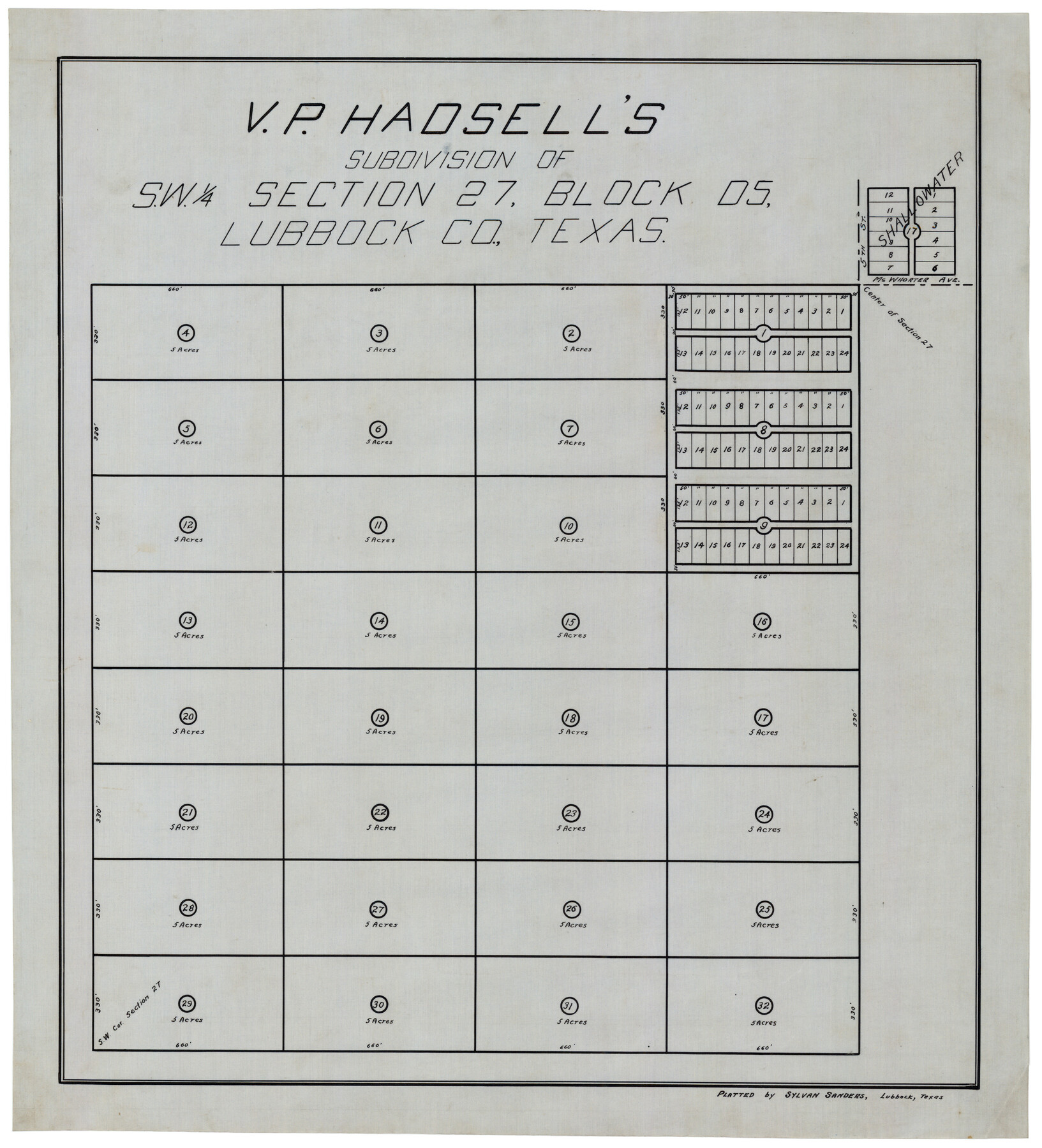
V. P. Hadsell's Subdivision of Southwest Quarter Section 27, Block D5
-
Map/Doc
92868
-
Collection
Twichell Survey Records
-
People and Organizations
Sylvan Sanders (Surveyor/Engineer)
-
Counties
Lubbock
-
Height x Width
18.4 x 20.0 inches
46.7 x 50.8 cm
Part of: Twichell Survey Records
Crosby County

Print $20.00
- Digital $50.00
Crosby County
1892
Size 13.2 x 15.4 inches
Map/Doc 90495
[Block O1, Godair]
![90564, [Block O1, Godair], Twichell Survey Records](https://historictexasmaps.com/wmedia_w700/maps/90564-1.tif.jpg)
Print $20.00
- Digital $50.00
[Block O1, Godair]
Size 21.7 x 14.1 inches
Map/Doc 90564
[Sketch showing surveys on the north side of the Canadian River, Blocks B-11, L, O-18, and G and M 2 and 3]
![91737, [Sketch showing surveys on the north side of the Canadian River, Blocks B-11, L, O-18, and G and M 2 and 3], Twichell Survey Records](https://historictexasmaps.com/wmedia_w700/maps/91737-1.tif.jpg)
Print $20.00
- Digital $50.00
[Sketch showing surveys on the north side of the Canadian River, Blocks B-11, L, O-18, and G and M 2 and 3]
1883
Size 35.4 x 25.3 inches
Map/Doc 91737
Block 34, Township 5 South

Print $3.00
- Digital $50.00
Block 34, Township 5 South
1876
Size 9.6 x 9.6 inches
Map/Doc 90752
Sheet 3 copied from Champlin Book 5 [Strip Map showing T. & P. connecting lines]
![93179, Sheet 3 copied from Champlin Book 5 [Strip Map showing T. & P. connecting lines], Twichell Survey Records](https://historictexasmaps.com/wmedia_w700/maps/93179-1.tif.jpg)
Print $40.00
- Digital $50.00
Sheet 3 copied from Champlin Book 5 [Strip Map showing T. & P. connecting lines]
1909
Size 7.5 x 74.8 inches
Map/Doc 93179
Leila Y. Post Montgomery & Marjorie Post Hutton's Subdivision of Hall County School Leagues 158-159-N 1/2 157, Cochran County, Texas

Print $20.00
- Digital $50.00
Leila Y. Post Montgomery & Marjorie Post Hutton's Subdivision of Hall County School Leagues 158-159-N 1/2 157, Cochran County, Texas
Size 13.2 x 27.6 inches
Map/Doc 90297
Whitehead Second Addition, City of Lubbock

Print $20.00
- Digital $50.00
Whitehead Second Addition, City of Lubbock
1951
Size 14.1 x 24.0 inches
Map/Doc 92778
[G. & M. Block 5]
![91802, [G. & M. Block 5], Twichell Survey Records](https://historictexasmaps.com/wmedia_w700/maps/91802-1.tif.jpg)
Print $20.00
- Digital $50.00
[G. & M. Block 5]
Size 20.3 x 12.5 inches
Map/Doc 91802
[Mrs. Adair Resurvey]
![89976, [Mrs. Adair Resurvey], Twichell Survey Records](https://historictexasmaps.com/wmedia_w700/maps/89976-1.tif.jpg)
Print $20.00
- Digital $50.00
[Mrs. Adair Resurvey]
1918
Size 36.5 x 27.4 inches
Map/Doc 89976
Plat of S. F. No. 12462, S. F. No. 12461, and Adjacent Sur.

Print $20.00
- Digital $50.00
Plat of S. F. No. 12462, S. F. No. 12461, and Adjacent Sur.
1922
Size 21.2 x 20.1 inches
Map/Doc 90172
[County School Land Leagues]
![90280, [County School Land Leagues], Twichell Survey Records](https://historictexasmaps.com/wmedia_w700/maps/90280-1.tif.jpg)
Print $20.00
- Digital $50.00
[County School Land Leagues]
1913
Size 21.2 x 25.4 inches
Map/Doc 90280
[League 239, Portion of Block B5]
![91443, [League 239, Portion of Block B5], Twichell Survey Records](https://historictexasmaps.com/wmedia_w700/maps/91443-1.tif.jpg)
Print $20.00
- Digital $50.00
[League 239, Portion of Block B5]
Size 18.4 x 11.7 inches
Map/Doc 91443
You may also like
Travis County Appraisal District Plat Map 2_0502

Print $20.00
- Digital $50.00
Travis County Appraisal District Plat Map 2_0502
Size 21.4 x 26.4 inches
Map/Doc 94236

Deaf Smith County Sketch File 5

Print $9.00
- Digital $50.00
Deaf Smith County Sketch File 5
1905
Size 11.3 x 8.9 inches
Map/Doc 20648
Ochiltree County Rolled Sketch 2

Print $20.00
- Digital $50.00
Ochiltree County Rolled Sketch 2
Size 23.0 x 17.7 inches
Map/Doc 7172
[Block K5, Section 13]
![91451, [Block K5, Section 13], Twichell Survey Records](https://historictexasmaps.com/wmedia_w700/maps/91451-1.tif.jpg)
Print $3.00
- Digital $50.00
[Block K5, Section 13]
Size 11.4 x 10.4 inches
Map/Doc 91451
Liberty County Rolled Sketch C

Print $20.00
- Digital $50.00
Liberty County Rolled Sketch C
1941
Size 39.5 x 35.4 inches
Map/Doc 9571
Flight Mission No. BRE-1P, Frame 66, Nueces County

Print $20.00
- Digital $50.00
Flight Mission No. BRE-1P, Frame 66, Nueces County
1956
Size 18.5 x 22.4 inches
Map/Doc 86648
Starr County Working Sketch 5

Print $20.00
- Digital $50.00
Starr County Working Sketch 5
1930
Size 35.8 x 24.8 inches
Map/Doc 63921
[E. L. & R. R. Block 10]
![91352, [E. L. & R. R. Block 10], Twichell Survey Records](https://historictexasmaps.com/wmedia_w700/maps/91352-1.tif.jpg)
Print $20.00
- Digital $50.00
[E. L. & R. R. Block 10]
Size 25.6 x 15.8 inches
Map/Doc 91352
Galveston County Sketch File 34a

Print $20.00
- Digital $50.00
Galveston County Sketch File 34a
Size 11.4 x 20.3 inches
Map/Doc 11537
Utility Map, Low Rent Housing Project Texas 18-1, Housing Authority of the City of Lubbock (Plan No. 3)

Print $20.00
- Digital $50.00
Utility Map, Low Rent Housing Project Texas 18-1, Housing Authority of the City of Lubbock (Plan No. 3)
1941
Size 42.5 x 27.3 inches
Map/Doc 92758
Lamar County State Real Property Sketch 1

Print $40.00
- Digital $50.00
Lamar County State Real Property Sketch 1
2013
Size 48.0 x 36.0 inches
Map/Doc 93662