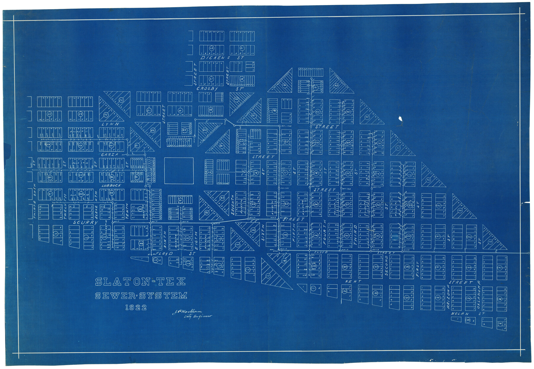
Slaton-Tex Sewer System
-
Map/Doc
92819
-
Collection
Twichell Survey Records
-
Object Dates
1922 (Creation Date)
-
Counties
Lubbock
-
Subjects
City
-
Height x Width
44.3 x 30.6 inches
112.5 x 77.7 cm
Part of: Twichell Survey Records
[PSL Blocks A6-A12]
![89780, [PSL Blocks A6-A12], Twichell Survey Records](https://historictexasmaps.com/wmedia_w700/maps/89780-1.tif.jpg)
Print $40.00
- Digital $50.00
[PSL Blocks A6-A12]
Size 23.2 x 64.7 inches
Map/Doc 89780
[Sutton, Hale & Ector Co. School Land]
![90103, [Sutton, Hale & Ector Co. School Land], Twichell Survey Records](https://historictexasmaps.com/wmedia_w700/maps/90103-1.tif.jpg)
Print $3.00
- Digital $50.00
[Sutton, Hale & Ector Co. School Land]
Size 9.8 x 16.7 inches
Map/Doc 90103

Val Verde County, Texas, Block D-7, E. L. & R. R. Ry. showing connecting line with Meyer's Spring and the N.W. corner Block D-8, E. L. & R. R. Ry. Co.

Print $20.00
- Digital $50.00
Val Verde County, Texas, Block D-7, E. L. & R. R. Ry. showing connecting line with Meyer's Spring and the N.W. corner Block D-8, E. L. & R. R. Ry. Co.
1938
Size 26.7 x 18.7 inches
Map/Doc 91949
[League in the South Part of Lamb County]
![91052, [League in the South Part of Lamb County], Twichell Survey Records](https://historictexasmaps.com/wmedia_w700/maps/91052-1.tif.jpg)
Print $20.00
- Digital $50.00
[League in the South Part of Lamb County]
Size 30.4 x 34.1 inches
Map/Doc 91052
Highland Place an Addition to City of Lubbock

Print $20.00
- Digital $50.00
Highland Place an Addition to City of Lubbock
Size 25.9 x 22.1 inches
Map/Doc 92844
Sketch in Castro County

Print $2.00
- Digital $50.00
Sketch in Castro County
1888
Size 7.8 x 7.9 inches
Map/Doc 90388
C. A. Pierce's Subdivision of Dick Slaughter Land

Print $20.00
- Digital $50.00
C. A. Pierce's Subdivision of Dick Slaughter Land
Size 37.7 x 17.1 inches
Map/Doc 90301
Tech Town a Subdivision of the Northeast Quarter Section 18, Block B

Print $20.00
- Digital $50.00
Tech Town a Subdivision of the Northeast Quarter Section 18, Block B
Size 17.5 x 21.6 inches
Map/Doc 92792
Map of Leagues 245, 246, 247, 250, 251, 252, 253, 254, and 321, Surveys 128, 130, 131, 132, R. E. Montgomery, and Surveys 133 and 134, Block A, Public Free School Land

Print $20.00
- Digital $50.00
Map of Leagues 245, 246, 247, 250, 251, 252, 253, 254, and 321, Surveys 128, 130, 131, 132, R. E. Montgomery, and Surveys 133 and 134, Block A, Public Free School Land
1930
Size 21.8 x 29.4 inches
Map/Doc 91270
Working Sketch in Stephens County

Print $20.00
- Digital $50.00
Working Sketch in Stephens County
1919
Size 11.1 x 20.6 inches
Map/Doc 91903
[West Central Portion of County]
![91257, [West Central Portion of County], Twichell Survey Records](https://historictexasmaps.com/wmedia_w700/maps/91257-1.tif.jpg)
Print $20.00
- Digital $50.00
[West Central Portion of County]
Size 19.5 x 9.8 inches
Map/Doc 91257
You may also like
Real County Working Sketch 91

Print $20.00
- Digital $50.00
Real County Working Sketch 91
1996
Size 22.0 x 20.0 inches
Map/Doc 71983
Kimble County Working Sketch 92

Print $20.00
- Digital $50.00
Kimble County Working Sketch 92
1979
Size 24.0 x 30.6 inches
Map/Doc 70160
Val Verde County Sketch File 37

Print $24.00
- Digital $50.00
Val Verde County Sketch File 37
1938
Size 15.5 x 22.3 inches
Map/Doc 12578
[Right of Way & Track Map, The Texas & Pacific Ry. Co. Main Line]
![64663, [Right of Way & Track Map, The Texas & Pacific Ry. Co. Main Line], General Map Collection](https://historictexasmaps.com/wmedia_w700/maps/64663.tif.jpg)
Print $20.00
- Digital $50.00
[Right of Way & Track Map, The Texas & Pacific Ry. Co. Main Line]
Size 11.0 x 19.0 inches
Map/Doc 64663
Neches River, Blackburn Bridge Sheet

Print $4.00
- Digital $50.00
Neches River, Blackburn Bridge Sheet
1938
Size 27.6 x 20.5 inches
Map/Doc 65083
Moore County Rolled Sketch 14

Print $20.00
- Digital $50.00
Moore County Rolled Sketch 14
1981
Size 22.6 x 26.6 inches
Map/Doc 6830
Zavala County Working Sketch 8

Print $20.00
- Digital $50.00
Zavala County Working Sketch 8
1949
Size 24.2 x 17.6 inches
Map/Doc 62083
Sectional map of Texas traversed by the Missouri, Kansas & Texas Railway, showing the crops adapted to each section, with the elevation and annual rainfall

Print $20.00
- Digital $50.00
Sectional map of Texas traversed by the Missouri, Kansas & Texas Railway, showing the crops adapted to each section, with the elevation and annual rainfall
1904
Size 21.9 x 23.0 inches
Map/Doc 95815
Live Oak County Sketch File 33

Print $4.00
- Digital $50.00
Live Oak County Sketch File 33
1874
Size 11.9 x 7.6 inches
Map/Doc 30333
Aransas County Rolled Sketch 2

Print $40.00
- Digital $50.00
Aransas County Rolled Sketch 2
1950
Size 54.7 x 50.5 inches
Map/Doc 73612
Tarrant County Sketch File 32

Print $16.00
- Digital $50.00
Tarrant County Sketch File 32
1946
Size 11.3 x 8.8 inches
Map/Doc 37751
Runnels County Rolled Sketch 39

Print $20.00
- Digital $50.00
Runnels County Rolled Sketch 39
Size 34.3 x 31.6 inches
Map/Doc 7526