[Plat map showing mostly Overton Addition]
-
Map/Doc
92812
-
Collection
Twichell Survey Records
-
Counties
Lubbock
-
Height x Width
31.9 x 31.3 inches
81.0 x 79.5 cm
Part of: Twichell Survey Records
[PSL Blocks A54 & A57]
![89977, [PSL Blocks A54 & A57], Twichell Survey Records](https://historictexasmaps.com/wmedia_w700/maps/89977-1.tif.jpg)
![89977, [PSL Blocks A54 & A57], Twichell Survey Records](https://historictexasmaps.com/wmedia_w700/maps/89977-1.tif.jpg)
Print $20.00
- Digital $50.00
[PSL Blocks A54 & A57]
Size 23.0 x 28.0 inches
Map/Doc 89977
Sketch in Gray County
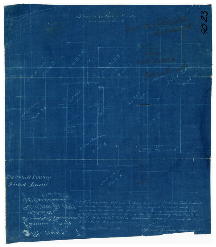

Print $3.00
- Digital $50.00
Sketch in Gray County
1899
Size 10.2 x 11.6 inches
Map/Doc 90659
Reconnaissance Map, Roby Sheet


Print $20.00
- Digital $50.00
Reconnaissance Map, Roby Sheet
1893
Size 17.0 x 20.8 inches
Map/Doc 90869
Yoakum-Terry County Sketch


Print $20.00
- Digital $50.00
Yoakum-Terry County Sketch
Size 9.4 x 27.3 inches
Map/Doc 91977
[Township 3 North, Block 32]
![91218, [Township 3 North, Block 32], Twichell Survey Records](https://historictexasmaps.com/wmedia_w700/maps/91218-1.tif.jpg)
![91218, [Township 3 North, Block 32], Twichell Survey Records](https://historictexasmaps.com/wmedia_w700/maps/91218-1.tif.jpg)
Print $20.00
- Digital $50.00
[Township 3 North, Block 32]
Size 14.4 x 17.8 inches
Map/Doc 91218
[E. L. & R. R., Blocks 10, 9, 3, and 1]
![91346, [E. L. & R. R., Blocks 10, 9, 3, and 1], Twichell Survey Records](https://historictexasmaps.com/wmedia_w700/maps/91346-1.tif.jpg)
![91346, [E. L. & R. R., Blocks 10, 9, 3, and 1], Twichell Survey Records](https://historictexasmaps.com/wmedia_w700/maps/91346-1.tif.jpg)
Print $20.00
- Digital $50.00
[E. L. & R. R., Blocks 10, 9, 3, and 1]
Size 16.0 x 23.0 inches
Map/Doc 91346
[Sections 58-64, I. & G. N. Block 1]
![91546, [Sections 58-64, I. & G. N. Block 1], Twichell Survey Records](https://historictexasmaps.com/wmedia_w700/maps/91546-1.tif.jpg)
![91546, [Sections 58-64, I. & G. N. Block 1], Twichell Survey Records](https://historictexasmaps.com/wmedia_w700/maps/91546-1.tif.jpg)
Print $2.00
- Digital $50.00
[Sections 58-64, I. & G. N. Block 1]
Size 8.6 x 11.1 inches
Map/Doc 91546
[Capitol Leagues 294, 295, 301, 302, 303, and 304]
![91422, [Capitol Leagues 294, 295, 301, 302, 303, and 304], Twichell Survey Records](https://historictexasmaps.com/wmedia_w700/maps/91422-1.tif.jpg)
![91422, [Capitol Leagues 294, 295, 301, 302, 303, and 304], Twichell Survey Records](https://historictexasmaps.com/wmedia_w700/maps/91422-1.tif.jpg)
Print $20.00
- Digital $50.00
[Capitol Leagues 294, 295, 301, 302, 303, and 304]
1883
Size 16.1 x 12.5 inches
Map/Doc 91422
Map of Surveys in Oldham County
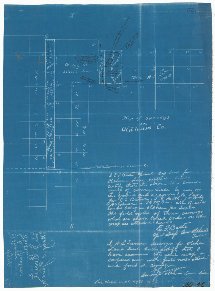

Print $20.00
- Digital $50.00
Map of Surveys in Oldham County
1903
Size 12.5 x 17.0 inches
Map/Doc 91449
Survey for J. R. Prince, Ward County, Texas
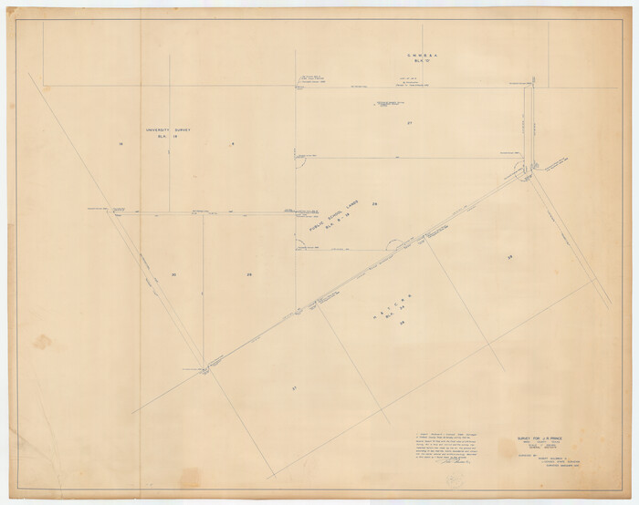

Print $20.00
- Digital $50.00
Survey for J. R. Prince, Ward County, Texas
1937
Size 47.6 x 37.7 inches
Map/Doc 89905
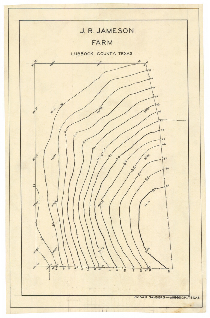
J. R. Jameson Farm

Print $2.00
- Digital $50.00
J. R. Jameson Farm
Size 9.1 x 13.9 inches
Map/Doc 92327
Working Sketch in Pecos Co. [now Val Verde and Terrell Counties] / [Connecting Lines]
![91945, Working Sketch in Pecos Co. [now Val Verde and Terrell Counties] / [Connecting Lines], Twichell Survey Records](https://historictexasmaps.com/wmedia_w700/maps/91945-1.tif.jpg)
![91945, Working Sketch in Pecos Co. [now Val Verde and Terrell Counties] / [Connecting Lines], Twichell Survey Records](https://historictexasmaps.com/wmedia_w700/maps/91945-1.tif.jpg)
Print $20.00
- Digital $50.00
Working Sketch in Pecos Co. [now Val Verde and Terrell Counties] / [Connecting Lines]
Size 29.6 x 21.8 inches
Map/Doc 91945
You may also like
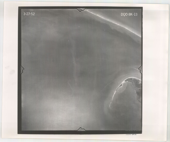
Flight Mission No. DQO-8K, Frame 13, Galveston County

Print $20.00
- Digital $50.00
Flight Mission No. DQO-8K, Frame 13, Galveston County
1952
Size 18.7 x 22.5 inches
Map/Doc 85136
Red River County


Print $20.00
- Digital $50.00
Red River County
1934
Size 46.0 x 39.2 inches
Map/Doc 73272
[Blocks Surrounding I. G. Yates Section 34 1/2]
![92442, [Blocks Surrounding I. G. Yates Section 34 1/2], Twichell Survey Records](https://historictexasmaps.com/wmedia_w700/maps/92442-1.tif.jpg)
![92442, [Blocks Surrounding I. G. Yates Section 34 1/2], Twichell Survey Records](https://historictexasmaps.com/wmedia_w700/maps/92442-1.tif.jpg)
Print $20.00
- Digital $50.00
[Blocks Surrounding I. G. Yates Section 34 1/2]
Size 41.9 x 11.3 inches
Map/Doc 92442
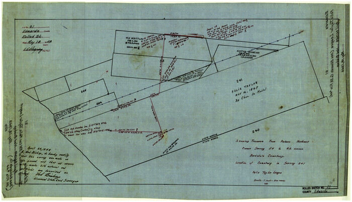
Edwards County Rolled Sketch 21

Print $20.00
- Digital $50.00
Edwards County Rolled Sketch 21
1948
Size 17.0 x 29.4 inches
Map/Doc 5809
Menard County Working Sketch 5


Print $20.00
- Digital $50.00
Menard County Working Sketch 5
1921
Size 17.2 x 22.3 inches
Map/Doc 70952
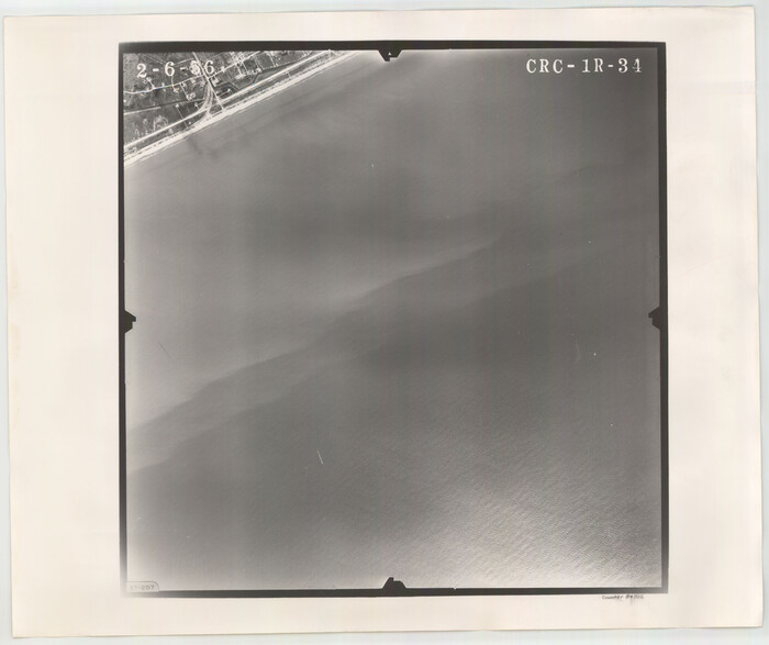
Flight Mission No. CRC-1R, Frame 34, Chambers County

Print $20.00
- Digital $50.00
Flight Mission No. CRC-1R, Frame 34, Chambers County
1956
Size 18.8 x 22.4 inches
Map/Doc 84702
San Luis Pass to East Matagorda Bay


Print $20.00
- Digital $50.00
San Luis Pass to East Matagorda Bay
1969
Size 35.1 x 47.0 inches
Map/Doc 69966
Foard County Working Sketch 6


Print $20.00
- Digital $50.00
Foard County Working Sketch 6
1944
Size 43.4 x 31.4 inches
Map/Doc 69197
Frio County Working Sketch 14
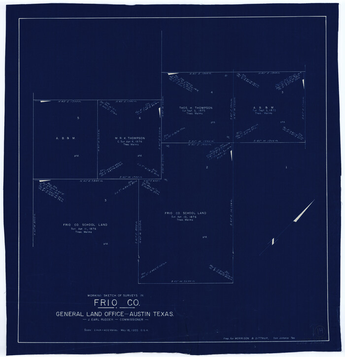

Print $20.00
- Digital $50.00
Frio County Working Sketch 14
1955
Size 23.7 x 22.9 inches
Map/Doc 69288
Flight Mission No. DQO-6K, Frame 33, Galveston County
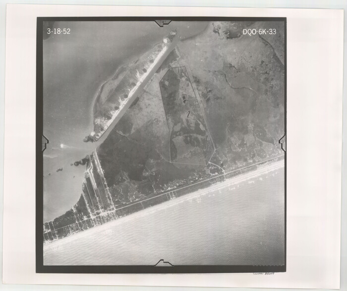

Print $20.00
- Digital $50.00
Flight Mission No. DQO-6K, Frame 33, Galveston County
1952
Size 18.8 x 22.4 inches
Map/Doc 85099
Wilbarger County Aerial Photograph Index Sheet 1
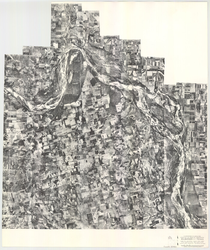

Print $20.00
- Digital $50.00
Wilbarger County Aerial Photograph Index Sheet 1
1950
Size 22.4 x 18.9 inches
Map/Doc 83750
![92812, [Plat map showing mostly Overton Addition], Twichell Survey Records](https://historictexasmaps.com/wmedia_w1800h1800/maps/92812-1.tif.jpg)
