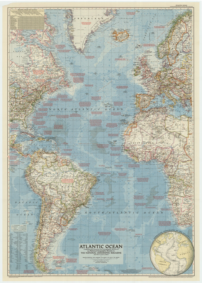
[Leagues 116 through 161, Leagues 165, 181, and 182]
CO134
-
Map/Doc
92484
-
Collection
Twichell Survey Records
-
Counties
Cochran
-
Height x Width
17.8 x 23.7 inches
45.2 x 60.2 cm
Part of: Twichell Survey Records
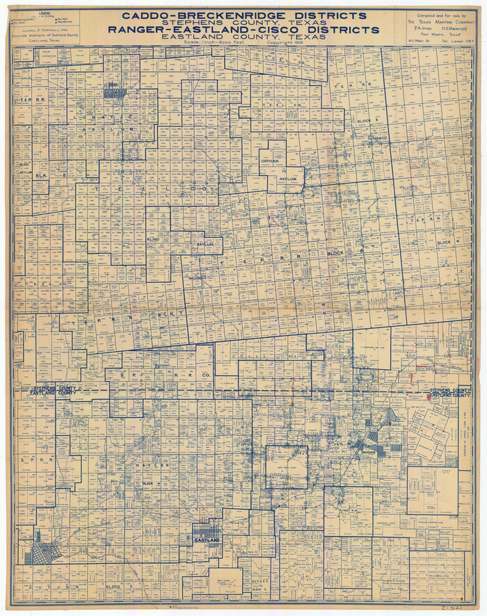
Caddo-Breckenridge Districts, Stephens County, Texas Ranger-Eastland-Cisco Districts Eastland County, Texas

Print $20.00
- Digital $50.00
Caddo-Breckenridge Districts, Stephens County, Texas Ranger-Eastland-Cisco Districts Eastland County, Texas
1919
Size 34.9 x 44.5 inches
Map/Doc 89808
[Sketch showing North line of James Stewart survey and vicinity]
![90116, [Sketch showing North line of James Stewart survey and vicinity], Twichell Survey Records](https://historictexasmaps.com/wmedia_w700/maps/90116-1.tif.jpg)
![90116, [Sketch showing North line of James Stewart survey and vicinity], Twichell Survey Records](https://historictexasmaps.com/wmedia_w700/maps/90116-1.tif.jpg)
Print $20.00
- Digital $50.00
[Sketch showing North line of James Stewart survey and vicinity]
Size 30.0 x 9.0 inches
Map/Doc 90116
Plat Showing Subdivision of Wilbarger County School Land Hockley County, Texas


Print $20.00
- Digital $50.00
Plat Showing Subdivision of Wilbarger County School Land Hockley County, Texas
1947
Size 20.0 x 20.9 inches
Map/Doc 92255
[Block 3 and part of Block 2]
![90760, [Block 3 and part of Block 2], Twichell Survey Records](https://historictexasmaps.com/wmedia_w700/maps/90760-1.tif.jpg)
![90760, [Block 3 and part of Block 2], Twichell Survey Records](https://historictexasmaps.com/wmedia_w700/maps/90760-1.tif.jpg)
Print $2.00
- Digital $50.00
[Block 3 and part of Block 2]
1882
Size 13.1 x 9.1 inches
Map/Doc 90760
Shallowater Well Field Survey


Print $40.00
- Digital $50.00
Shallowater Well Field Survey
Size 61.8 x 43.7 inches
Map/Doc 89900
[Blocks W and Z with tie lines]
![90451, [Blocks W and Z with tie lines], Twichell Survey Records](https://historictexasmaps.com/wmedia_w700/maps/90451-1.tif.jpg)
![90451, [Blocks W and Z with tie lines], Twichell Survey Records](https://historictexasmaps.com/wmedia_w700/maps/90451-1.tif.jpg)
Print $20.00
- Digital $50.00
[Blocks W and Z with tie lines]
1949
Size 14.4 x 14.2 inches
Map/Doc 90451
[Map showing Jno. H. Gibson Block D]
![92005, [Map showing Jno. H. Gibson Block D], Twichell Survey Records](https://historictexasmaps.com/wmedia_w700/maps/92005-1.tif.jpg)
![92005, [Map showing Jno. H. Gibson Block D], Twichell Survey Records](https://historictexasmaps.com/wmedia_w700/maps/92005-1.tif.jpg)
Print $20.00
- Digital $50.00
[Map showing Jno. H. Gibson Block D]
Size 18.3 x 15.9 inches
Map/Doc 92005
[Block 1 and surrounding blocks]
![90755, [Block 1 and surrounding blocks], Twichell Survey Records](https://historictexasmaps.com/wmedia_w700/maps/90755-1.tif.jpg)
![90755, [Block 1 and surrounding blocks], Twichell Survey Records](https://historictexasmaps.com/wmedia_w700/maps/90755-1.tif.jpg)
Print $20.00
- Digital $50.00
[Block 1 and surrounding blocks]
1903
Size 18.8 x 19.8 inches
Map/Doc 90755
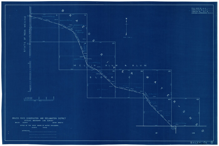
Brazos River Conservation and Reclamation District Official Boundary Line Survey

Print $20.00
- Digital $50.00
Brazos River Conservation and Reclamation District Official Boundary Line Survey
Size 37.3 x 24.7 inches
Map/Doc 90129
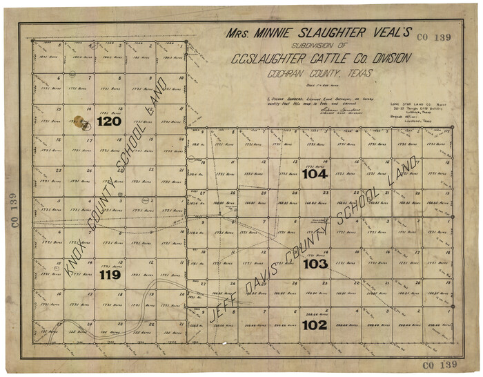
Mrs. Minnie Slaughter Veal's Subdivision of C. C. Slaughter Cattle Company Division

Print $20.00
- Digital $50.00
Mrs. Minnie Slaughter Veal's Subdivision of C. C. Slaughter Cattle Company Division
Size 26.5 x 20.6 inches
Map/Doc 92510
[Sabine County School Land and Blocks A4, W, and DT]
![92697, [Sabine County School Land and Blocks A4, W, and DT], Twichell Survey Records](https://historictexasmaps.com/wmedia_w700/maps/92697-1.tif.jpg)
![92697, [Sabine County School Land and Blocks A4, W, and DT], Twichell Survey Records](https://historictexasmaps.com/wmedia_w700/maps/92697-1.tif.jpg)
Print $20.00
- Digital $50.00
[Sabine County School Land and Blocks A4, W, and DT]
Size 18.9 x 15.6 inches
Map/Doc 92697
You may also like
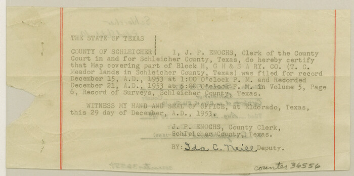
Schleicher County Sketch File 47

Print $4.00
- Digital $50.00
Schleicher County Sketch File 47
1953
Size 4.4 x 8.7 inches
Map/Doc 36556
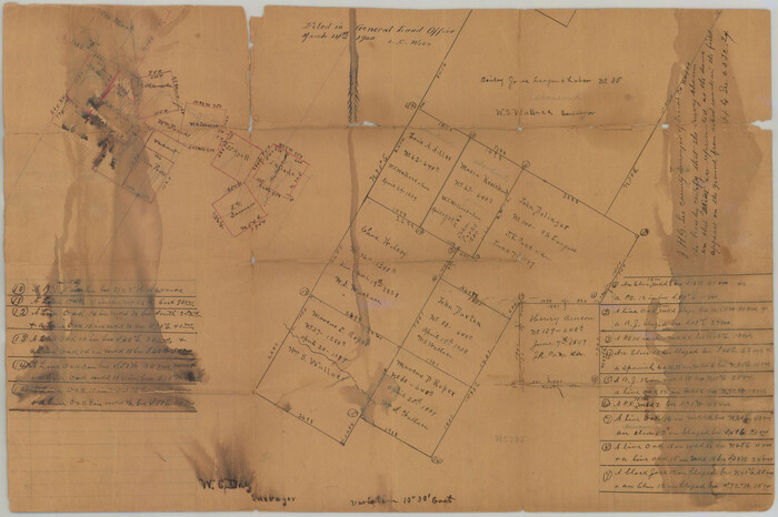
Travis County Sketch File 32

Print $20.00
- Digital $50.00
Travis County Sketch File 32
Size 25.3 x 32.7 inches
Map/Doc 12460
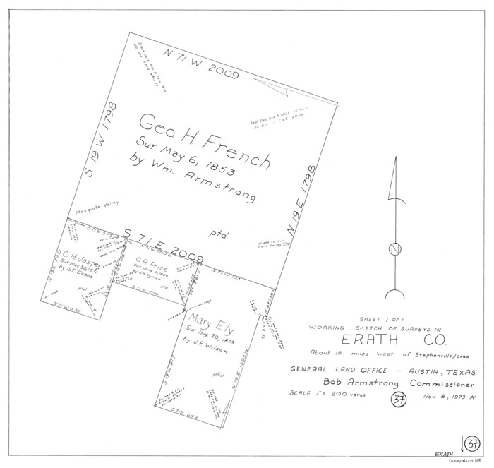
Erath County Working Sketch 37

Print $20.00
- Digital $50.00
Erath County Working Sketch 37
1973
Size 21.4 x 22.6 inches
Map/Doc 69118
Upton County Boundary File 1


Print $5.00
- Digital $50.00
Upton County Boundary File 1
Size 13.4 x 9.0 inches
Map/Doc 59506
Ochiltree County Boundary File 10


Print $24.00
- Digital $50.00
Ochiltree County Boundary File 10
Size 11.2 x 8.7 inches
Map/Doc 57728
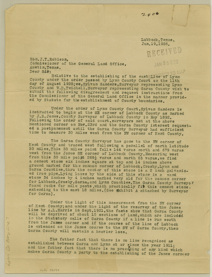
Lynn County Boundary File 7

Print $10.00
- Digital $50.00
Lynn County Boundary File 7
Size 11.5 x 8.8 inches
Map/Doc 56642
Crosby County Working Sketch 6
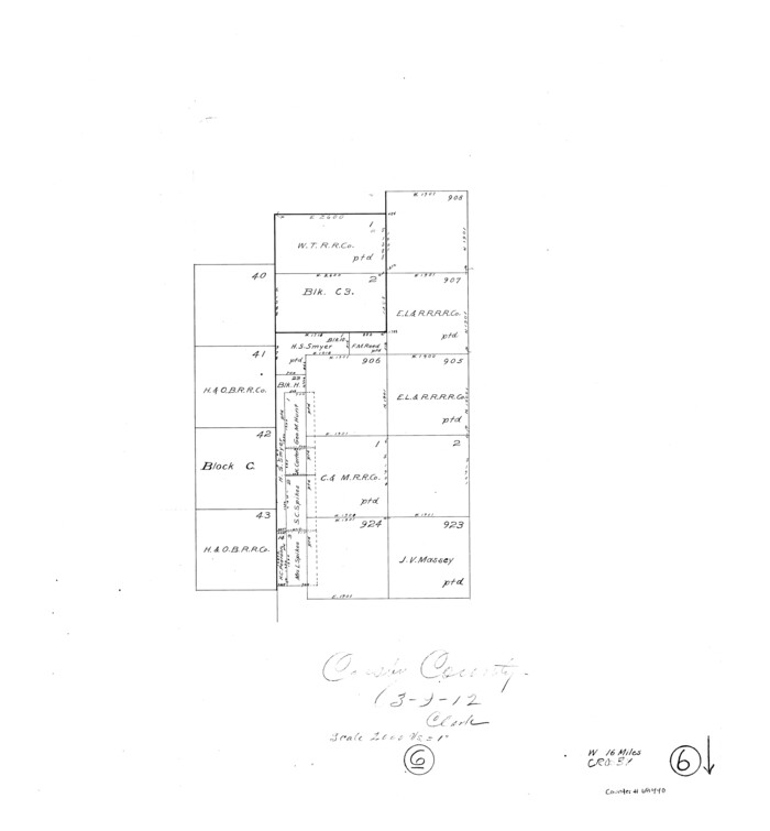

Print $20.00
- Digital $50.00
Crosby County Working Sketch 6
1912
Size 19.4 x 18.0 inches
Map/Doc 68440
Flight Mission No. BQR-5K, Frame 69, Brazoria County


Print $20.00
- Digital $50.00
Flight Mission No. BQR-5K, Frame 69, Brazoria County
1952
Size 18.8 x 22.4 inches
Map/Doc 84014
Upshur County Sketch File 16
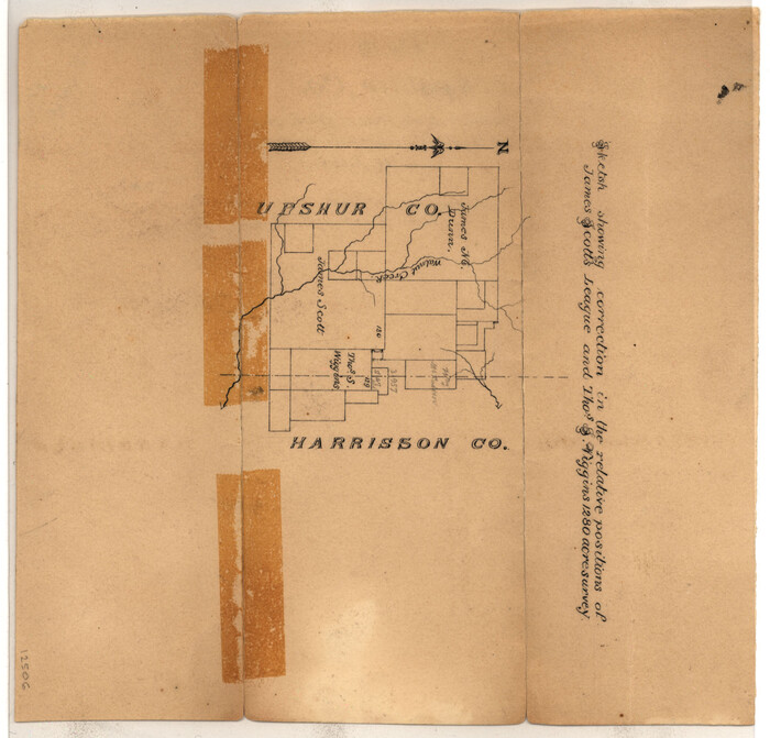

Print $20.00
- Digital $50.00
Upshur County Sketch File 16
1873
Size 19.1 x 28.0 inches
Map/Doc 12506
Deaf Smith County
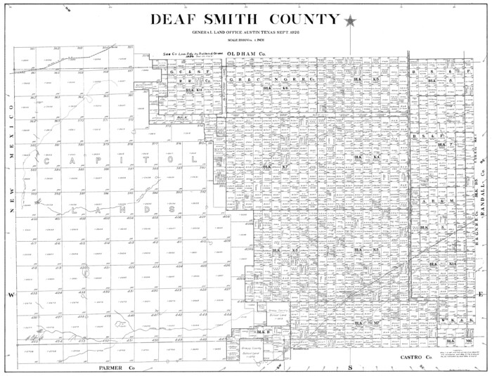

Print $20.00
- Digital $50.00
Deaf Smith County
1926
Size 32.9 x 41.3 inches
Map/Doc 77260
Bird's Eye View of San Antonio, Bexar Co[unty], Texas (Looking North East)
![89204, Bird's Eye View of San Antonio, Bexar Co[unty], Texas (Looking North East), Non-GLO Digital Images](https://historictexasmaps.com/wmedia_w700/maps/89204.tif.jpg)
![89204, Bird's Eye View of San Antonio, Bexar Co[unty], Texas (Looking North East), Non-GLO Digital Images](https://historictexasmaps.com/wmedia_w700/maps/89204.tif.jpg)
Print $20.00
Bird's Eye View of San Antonio, Bexar Co[unty], Texas (Looking North East)
1886
Size 21.5 x 28.1 inches
Map/Doc 89204
Dickens County Sketch File 24
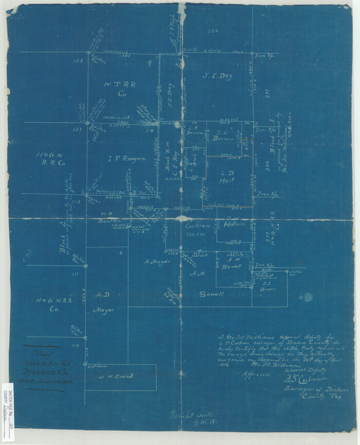

Print $20.00
- Digital $50.00
Dickens County Sketch File 24
1914
Size 20.0 x 16.1 inches
Map/Doc 11325
![92484, [Leagues 116 through 161, Leagues 165, 181, and 182], Twichell Survey Records](https://historictexasmaps.com/wmedia_w1800h1800/maps/92484-1.tif.jpg)
