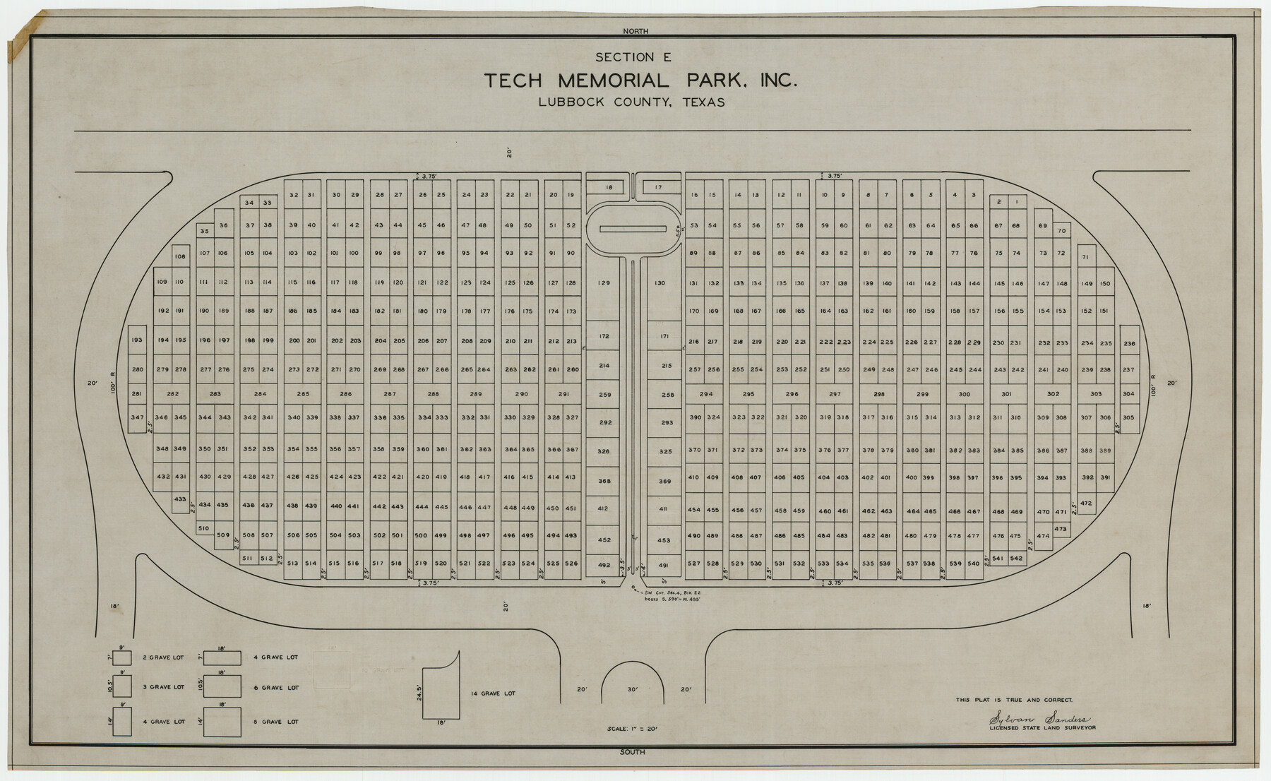
Section E Tech Memorial Park, Inc.
-
Map/Doc
92301
-
Collection
Twichell Survey Records
-
People and Organizations
Sylvan Sanders (Surveyor/Engineer)
-
Counties
Lubbock
-
Height x Width
30.9 x 19.1 inches
78.5 x 48.5 cm
Part of: Twichell Survey Records
[Wilson Strickland Survey and Vicinity, Exhibit L]
![91377, [Wilson Strickland Survey and Vicinity, Exhibit L], Twichell Survey Records](https://historictexasmaps.com/wmedia_w700/maps/91377-1.tif.jpg)
Print $20.00
- Digital $50.00
[Wilson Strickland Survey and Vicinity, Exhibit L]
Size 32.8 x 27.1 inches
Map/Doc 91377
[Townships 1, 2, 3, Blocks, 62, 61, 60, 59, 58, 57, 56]
![92884, [Townships 1, 2, 3, Blocks, 62, 61, 60, 59, 58, 57, 56], Twichell Survey Records](https://historictexasmaps.com/wmedia_w700/maps/92884-1.tif.jpg)
Print $20.00
- Digital $50.00
[Townships 1, 2, 3, Blocks, 62, 61, 60, 59, 58, 57, 56]
1885
Size 19.1 x 10.3 inches
Map/Doc 92884

Isham Tubbs Estate

Print $3.00
- Digital $50.00
Isham Tubbs Estate
1947
Size 15.5 x 9.3 inches
Map/Doc 92304
19th Congressional District of Texas

Print $20.00
- Digital $50.00
19th Congressional District of Texas
Size 33.1 x 28.9 inches
Map/Doc 92610
Tahoka Heights Addition to Tahoka Located on the SE Quarter of Section 568

Print $20.00
- Digital $50.00
Tahoka Heights Addition to Tahoka Located on the SE Quarter of Section 568
Size 18.1 x 18.5 inches
Map/Doc 92939
[Surveys Surrounding I. G. Yates S.F. 12394]
![91560, [Surveys Surrounding I. G. Yates S.F. 12394], Twichell Survey Records](https://historictexasmaps.com/wmedia_w700/maps/91560-1.tif.jpg)
Print $20.00
- Digital $50.00
[Surveys Surrounding I. G. Yates S.F. 12394]
Size 18.6 x 7.4 inches
Map/Doc 91560
A Map of California with Descriptive Notes

A Map of California with Descriptive Notes
1954
Size 29.5 x 37.6 inches
Map/Doc 92394
Roundabout The Nation's Capital with Descriptive Notes

Roundabout The Nation's Capital with Descriptive Notes
1956
Size 35.0 x 29.8 inches
Map/Doc 92362
[Sketch showing details along East line of Lipscomb County]
![89939, [Sketch showing details along East line of Lipscomb County], Twichell Survey Records](https://historictexasmaps.com/wmedia_w700/maps/89939-1.tif.jpg)
Print $40.00
- Digital $50.00
[Sketch showing details along East line of Lipscomb County]
Size 15.4 x 66.7 inches
Map/Doc 89939
Survey for J. R. Prince, Ward County, Texas

Print $20.00
- Digital $50.00
Survey for J. R. Prince, Ward County, Texas
1937
Size 47.6 x 37.7 inches
Map/Doc 89905
[Public School Land Blocks]
![93153, [Public School Land Blocks], Twichell Survey Records](https://historictexasmaps.com/wmedia_w700/maps/93153-1.tif.jpg)
Print $40.00
- Digital $50.00
[Public School Land Blocks]
Size 56.3 x 74.8 inches
Map/Doc 93153
You may also like
[Surveys along San Cristoval Creek]
![300, [Surveys along San Cristoval Creek], General Map Collection](https://historictexasmaps.com/wmedia_w700/maps/300.tif.jpg)
Print $2.00
- Digital $50.00
[Surveys along San Cristoval Creek]
1842
Size 9.0 x 9.3 inches
Map/Doc 300
Tom Green County

Print $40.00
- Digital $50.00
Tom Green County
Size 43.6 x 111.2 inches
Map/Doc 82058
Martin County, Texas

Print $20.00
- Digital $50.00
Martin County, Texas
1870
Size 22.9 x 18.0 inches
Map/Doc 391
Rusk County Rolled Sketch 10

Print $18.00
- Digital $50.00
Rusk County Rolled Sketch 10
Size 9.7 x 11.3 inches
Map/Doc 48864
Pecos County Sketch File 71

Print $8.00
- Digital $50.00
Pecos County Sketch File 71
1936
Size 11.2 x 8.7 inches
Map/Doc 33872
Hutchinson County Boundary File 1a

Print $10.00
- Digital $50.00
Hutchinson County Boundary File 1a
Size 7.3 x 8.7 inches
Map/Doc 55297
Robertson County Rolled Sketch 6

Print $20.00
- Digital $50.00
Robertson County Rolled Sketch 6
Size 22.8 x 15.6 inches
Map/Doc 7512
[Plainview with Highland Addition]
![92662, [Plainview with Highland Addition], Twichell Survey Records](https://historictexasmaps.com/wmedia_w700/maps/92662-1.tif.jpg)
Print $40.00
- Digital $50.00
[Plainview with Highland Addition]
Size 54.0 x 27.4 inches
Map/Doc 92662
Harris County Historic Topographic 23

Print $20.00
- Digital $50.00
Harris County Historic Topographic 23
1916
Size 29.2 x 22.6 inches
Map/Doc 65834
Motley County Sketch File 12 (S)

Print $4.00
- Digital $50.00
Motley County Sketch File 12 (S)
Size 8.4 x 13.2 inches
Map/Doc 32187
Duval County Sketch File 19a

Print $40.00
- Digital $50.00
Duval County Sketch File 19a
1880
Size 12.7 x 14.2 inches
Map/Doc 21318
Baylor County Sketch File 15

Print $6.00
- Digital $50.00
Baylor County Sketch File 15
1879
Size 13.0 x 8.4 inches
Map/Doc 14183