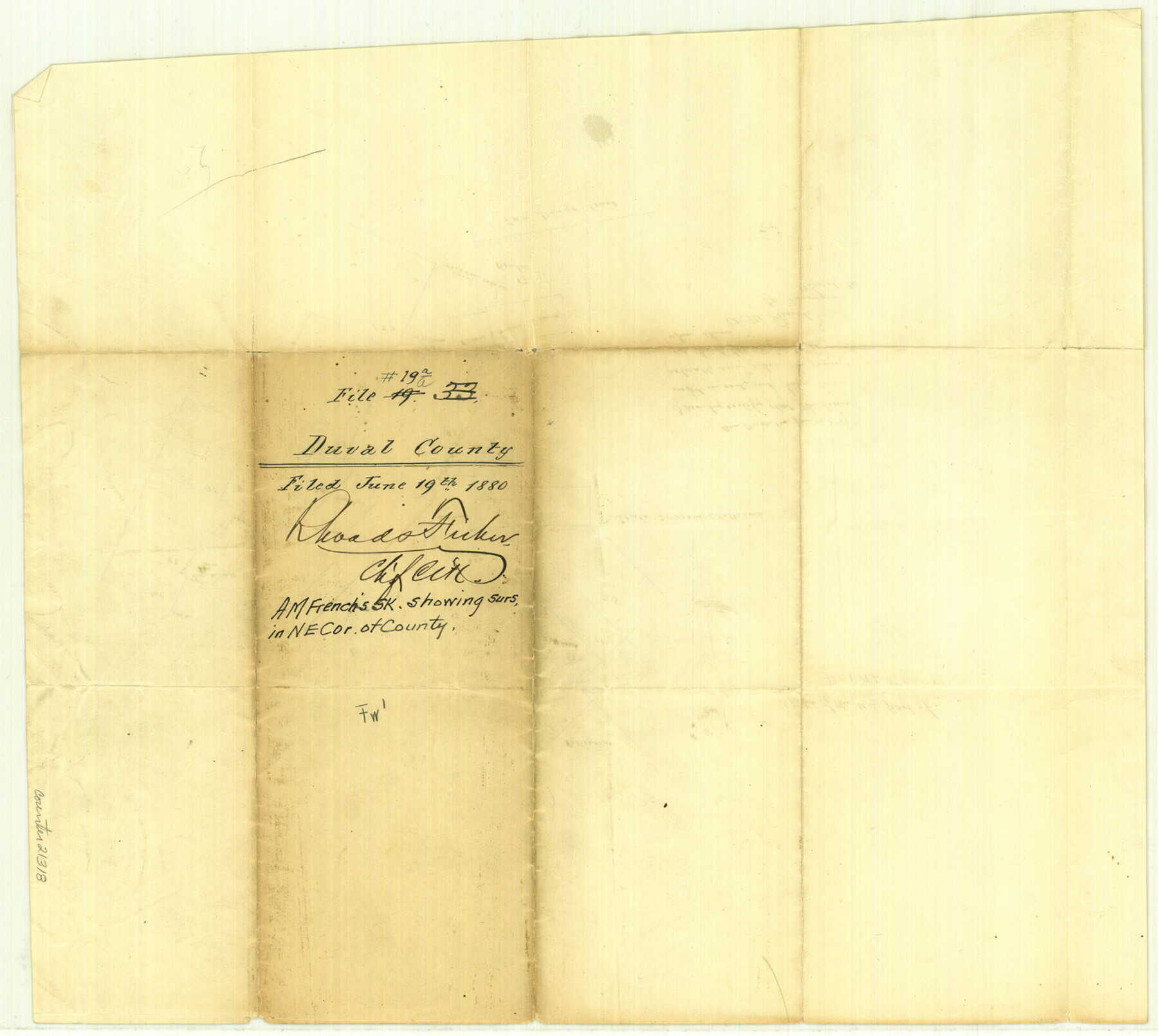
Duval County Sketch File 19a
[Sketch showing the northeast portion of the county]
-
Map/Doc
21318
-
Collection
General Map Collection
-
Object Dates
1880/6/10 (Creation Date)
1880/6/19 (File Date)
-
People and Organizations
A.M. French (Surveyor/Engineer)
-
Counties
Duval Jim Wells
-
Subjects
Surveying Sketch File
-
Height x Width
12.7 x 14.2 inches
32.3 x 36.1 cm
-
Medium
paper, manuscript
-
Scale
1:2000
Part of: General Map Collection
Armstrong County Rolled Sketch ACP

Print $20.00
- Digital $50.00
Armstrong County Rolled Sketch ACP
1900
Size 33.0 x 35.3 inches
Map/Doc 8425
Flight Mission No. DQO-2K, Frame 89, Galveston County

Print $20.00
- Digital $50.00
Flight Mission No. DQO-2K, Frame 89, Galveston County
1952
Size 18.6 x 22.3 inches
Map/Doc 85016

Smith County Sketch File 14

Print $4.00
- Digital $50.00
Smith County Sketch File 14
1888
Size 12.3 x 8.8 inches
Map/Doc 36775
Travis County Sketch File 11a

Print $4.00
- Digital $50.00
Travis County Sketch File 11a
1873
Size 10.0 x 8.0 inches
Map/Doc 38302
Hardin County Working Sketch 18

Print $20.00
- Digital $50.00
Hardin County Working Sketch 18
1944
Size 18.7 x 22.0 inches
Map/Doc 63416
Crosby County Rolled Sketch D

Print $20.00
- Digital $50.00
Crosby County Rolled Sketch D
Size 23.9 x 23.6 inches
Map/Doc 5643
Right-of-Way and Track Map, Texas State Railroad operated by the T. and N.O. R.R. Co.

Print $40.00
- Digital $50.00
Right-of-Way and Track Map, Texas State Railroad operated by the T. and N.O. R.R. Co.
1917
Size 25.2 x 56.1 inches
Map/Doc 64171
El Paso County Sketch File 25

Print $20.00
- Digital $50.00
El Paso County Sketch File 25
Size 18.5 x 22.3 inches
Map/Doc 11456
Aransas County Boundary File 4

Print $30.00
- Digital $50.00
Aransas County Boundary File 4
Size 9.2 x 7.8 inches
Map/Doc 49790
Harris County Working Sketch 16

Print $20.00
- Digital $50.00
Harris County Working Sketch 16
1916
Size 19.8 x 21.2 inches
Map/Doc 65908
Harris County Rolled Sketch 81

Print $28.00
- Digital $50.00
Harris County Rolled Sketch 81
1956
Size 31.1 x 22.2 inches
Map/Doc 6117
You may also like
Tom Green County Sketch File 16

Print $16.00
- Digital $50.00
Tom Green County Sketch File 16
Size 8.5 x 7.8 inches
Map/Doc 38174


Duval County Sketch File 34a

Print $20.00
- Digital $50.00
Duval County Sketch File 34a
1935
Size 45.7 x 34.2 inches
Map/Doc 10369
Tom Green County Sketch File 79B

Print $20.00
- Digital $50.00
Tom Green County Sketch File 79B
1959
Size 18.5 x 23.8 inches
Map/Doc 12451
Gaines County Sketch File 7

Print $6.00
- Digital $50.00
Gaines County Sketch File 7
1915
Size 14.3 x 8.7 inches
Map/Doc 23188

Garza County Boundary File 3

Print $76.00
- Digital $50.00
Garza County Boundary File 3
Size 11.4 x 9.0 inches
Map/Doc 53683
McCulloch County

Print $20.00
- Digital $50.00
McCulloch County
1874
Size 21.9 x 16.8 inches
Map/Doc 3856
Dawson County Working Sketch 11

Print $20.00
- Digital $50.00
Dawson County Working Sketch 11
1946
Size 25.3 x 21.9 inches
Map/Doc 68555
Coke County Working Sketch 8

Print $20.00
- Digital $50.00
Coke County Working Sketch 8
1926
Size 26.9 x 25.5 inches
Map/Doc 68045
General Highway Map, Bell County, Texas

Print $20.00
General Highway Map, Bell County, Texas
1940
Size 18.5 x 25.2 inches
Map/Doc 79015