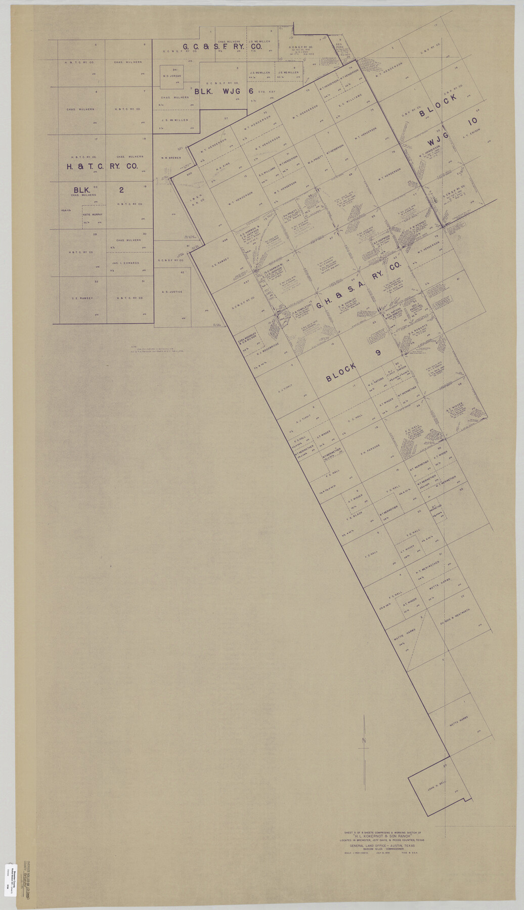
Brewster County Rolled Sketch 101
Part of 8 Sheets Comprising a Working Sketch of "H.L. Kokernot & Son Ranch" Located in Brewster, Jeff Davis & Pecos Counties, Texas
-
Map/Doc
9194
-
Collection
General Map Collection
-
Object Dates
1927/9/12 (Creation Date)
-
People and Organizations
R.S. Dod (Surveyor/Engineer)
-
Counties
Brewster
-
Subjects
Surveying Rolled Sketch
-
Height x Width
73.5 x 42.3 inches
186.7 x 107.4 cm
Part of: General Map Collection
Mitchell County Boundary File 1b

Print $36.00
- Digital $50.00
Mitchell County Boundary File 1b
Size 13.8 x 8.7 inches
Map/Doc 57351
Throckmorton County

Print $20.00
- Digital $50.00
Throckmorton County
1880
Size 24.5 x 19.3 inches
Map/Doc 4079
Map of Crockett Co.

Print $20.00
- Digital $50.00
Map of Crockett Co.
1894
Size 32.6 x 44.1 inches
Map/Doc 4725
Webb County Working Sketch 75

Print $40.00
- Digital $50.00
Webb County Working Sketch 75
1975
Size 59.2 x 46.0 inches
Map/Doc 72442
Dimmit County

Print $40.00
- Digital $50.00
Dimmit County
1916
Size 40.6 x 48.0 inches
Map/Doc 78341
Schleicher County

Print $40.00
- Digital $50.00
Schleicher County
1940
Size 38.7 x 54.9 inches
Map/Doc 73285
Val Verde County Sketch File XXX3

Print $6.00
- Digital $50.00
Val Verde County Sketch File XXX3
Size 11.0 x 16.8 inches
Map/Doc 39096
Flight Mission No. CUG-1P, Frame 79, Kleberg County

Print $20.00
- Digital $50.00
Flight Mission No. CUG-1P, Frame 79, Kleberg County
1956
Size 18.7 x 22.2 inches
Map/Doc 86144
Andrews County Working Sketch 2

Print $20.00
- Digital $50.00
Andrews County Working Sketch 2
1949
Size 23.2 x 23.7 inches
Map/Doc 67048
Hudspeth County Working Sketch 23

Print $40.00
- Digital $50.00
Hudspeth County Working Sketch 23
1967
Size 52.7 x 34.3 inches
Map/Doc 69650
Reagan County Sketch File 7

Print $6.00
- Digital $50.00
Reagan County Sketch File 7
1928
Size 11.2 x 8.7 inches
Map/Doc 34986
Kimble County Working Sketch 68

Print $20.00
- Digital $50.00
Kimble County Working Sketch 68
1965
Size 23.1 x 31.5 inches
Map/Doc 70136
You may also like
Young County Working Sketch 17

Print $20.00
- Digital $50.00
Young County Working Sketch 17
1958
Size 20.7 x 28.6 inches
Map/Doc 62040
Presidio County Working Sketch 78

Print $20.00
- Digital $50.00
Presidio County Working Sketch 78
1965
Size 24.8 x 25.1 inches
Map/Doc 71755
Robertson County Sketch File 3

Print $22.00
- Digital $50.00
Robertson County Sketch File 3
1860
Size 12.6 x 15.8 inches
Map/Doc 35350
Flight Mission No. BRA-8M, Frame 79, Jefferson County

Print $20.00
- Digital $50.00
Flight Mission No. BRA-8M, Frame 79, Jefferson County
1953
Size 15.8 x 15.5 inches
Map/Doc 85599
[Cotton Belt, St. Louis Southwestern Railway of Texas, Alignment through Smith County]
![64377, [Cotton Belt, St. Louis Southwestern Railway of Texas, Alignment through Smith County], General Map Collection](https://historictexasmaps.com/wmedia_w700/maps/64377.tif.jpg)
Print $20.00
- Digital $50.00
[Cotton Belt, St. Louis Southwestern Railway of Texas, Alignment through Smith County]
1903
Size 21.7 x 30.0 inches
Map/Doc 64377
Gray County Sketch File 9

Print $38.00
- Digital $50.00
Gray County Sketch File 9
1889
Size 11.2 x 8.4 inches
Map/Doc 24426
Newton County Sketch File 5

Print $8.00
- Digital $50.00
Newton County Sketch File 5
Size 8.2 x 12.8 inches
Map/Doc 32368
Flight Mission No. BRA-6M, Frame 153, Jefferson County

Print $20.00
- Digital $50.00
Flight Mission No. BRA-6M, Frame 153, Jefferson County
1953
Size 18.5 x 22.2 inches
Map/Doc 85454
Flight Mission No. BRA-9M, Frame 80, Jefferson County

Print $20.00
- Digital $50.00
Flight Mission No. BRA-9M, Frame 80, Jefferson County
1953
Size 18.6 x 22.5 inches
Map/Doc 85663

Hood County Rolled Sketch 5

Print $20.00
- Digital $50.00
Hood County Rolled Sketch 5
1980
Size 29.9 x 32.2 inches
Map/Doc 6221
Sutton County Sketch File 45

Print $4.00
- Digital $50.00
Sutton County Sketch File 45
1939
Size 11.2 x 8.6 inches
Map/Doc 37515