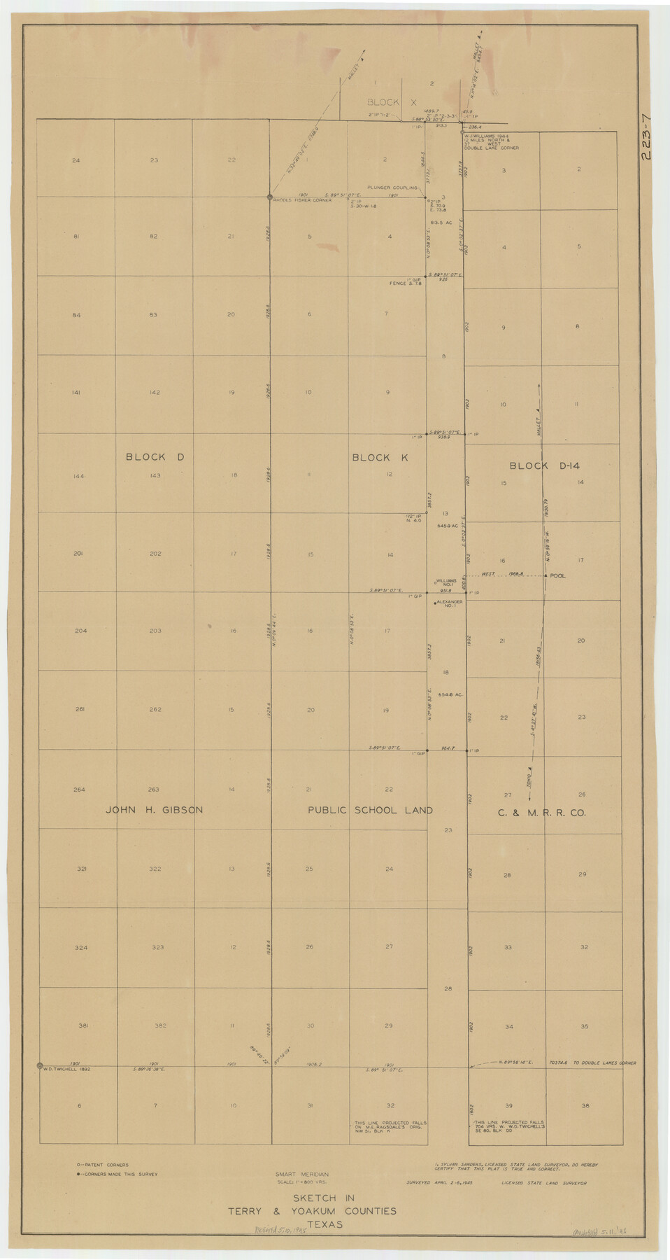
Sketch in Terry and Yoakum Counties
223-7
-
Map/Doc
91939
-
Collection
Twichell Survey Records
-
Object Dates
4/6/1945 (Creation Date)
-
People and Organizations
Sylvan Sanders (Surveyor/Engineer)
-
Counties
Terry Yoakum
-
Height x Width
20.7 x 38.5 inches
52.6 x 97.8 cm
Part of: Twichell Survey Records
[S.E. corner of Sec. 48, Blk. 35 T5N to N.E. corner of Sec. 1, Blk. 35 T5N]
![89826, [S.E. corner of Sec. 48, Blk. 35 T5N to N.E. corner of Sec. 1, Blk. 35 T5N], Twichell Survey Records](https://historictexasmaps.com/wmedia_w700/maps/89826-1.tif.jpg)
Print $40.00
- Digital $50.00
[S.E. corner of Sec. 48, Blk. 35 T5N to N.E. corner of Sec. 1, Blk. 35 T5N]
1907
Size 7.2 x 72.9 inches
Map/Doc 89826
W. W. Watts' Ranch in Crosby County, Texas

Print $20.00
- Digital $50.00
W. W. Watts' Ranch in Crosby County, Texas
1904
Size 17.7 x 28.9 inches
Map/Doc 90485
[I. & G. N. Block 1, Runnels County School Land and adjacent areas]
![91615, [I. & G. N. Block 1, Runnels County School Land and adjacent areas], Twichell Survey Records](https://historictexasmaps.com/wmedia_w700/maps/91615-1.tif.jpg)
Print $20.00
- Digital $50.00
[I. & G. N. Block 1, Runnels County School Land and adjacent areas]
Size 34.2 x 28.0 inches
Map/Doc 91615
Steele Addition, Seagraves, Texas

Print $20.00
- Digital $50.00
Steele Addition, Seagraves, Texas
Size 17.4 x 26.3 inches
Map/Doc 92655
[Blocks 44 and 6T]
![91410, [Blocks 44 and 6T], Twichell Survey Records](https://historictexasmaps.com/wmedia_w700/maps/91410-1.tif.jpg)
Print $20.00
- Digital $50.00
[Blocks 44 and 6T]
Size 29.3 x 17.4 inches
Map/Doc 91410
West Half Section 4, Block C-33, Gaines County, Texas

Print $20.00
- Digital $50.00
West Half Section 4, Block C-33, Gaines County, Texas
1953
Size 12.9 x 23.7 inches
Map/Doc 92667
G&H Blocks Gaines Co. Resurvey 1915

Print $40.00
- Digital $50.00
G&H Blocks Gaines Co. Resurvey 1915
1915
Size 56.8 x 31.3 inches
Map/Doc 89632
[Sketch around I. G. Yates S.F. 12394]
![91548, [Sketch around I. G. Yates S.F. 12394], Twichell Survey Records](https://historictexasmaps.com/wmedia_w700/maps/91548-1.tif.jpg)
Print $3.00
- Digital $50.00
[Sketch around I. G. Yates S.F. 12394]
Size 17.3 x 7.2 inches
Map/Doc 91548
[H. & T.C. Blocks 46, 47]
![89927, [H. & T.C. Blocks 46, 47], Twichell Survey Records](https://historictexasmaps.com/wmedia_w700/maps/89927-1.tif.jpg)
Print $20.00
- Digital $50.00
[H. & T.C. Blocks 46, 47]
Size 37.3 x 46.6 inches
Map/Doc 89927
Ownership Map Upton Co., Texas

Ownership Map Upton Co., Texas
1951
Size 45.6 x 56.9 inches
Map/Doc 89904
[Floyd County School Land Lgs. 180-183, Fisher County School Land Lgs. 105-108, and part of Blk. V]
![90193, [Floyd County Schoo Land Lgs. 180-183, Fisher County School Land Lgs. 105-108, and part of Blk. V], Twichell Survey Records](https://historictexasmaps.com/wmedia_w700/maps/90193-1.tif.jpg)
Print $2.00
- Digital $50.00
[Floyd County School Land Lgs. 180-183, Fisher County School Land Lgs. 105-108, and part of Blk. V]
Size 8.7 x 10.2 inches
Map/Doc 90193
[Texas Boundary Line]
![92082, [Texas Boundary Line], Twichell Survey Records](https://historictexasmaps.com/wmedia_w700/maps/92082-1.tif.jpg)
Print $20.00
- Digital $50.00
[Texas Boundary Line]
Size 21.6 x 12.2 inches
Map/Doc 92082
You may also like
Le Nouveau Mexique avec la partie Septentrionale de l'Ancien ou de la Nouvelle Espagne

Print $20.00
- Digital $50.00
Le Nouveau Mexique avec la partie Septentrionale de l'Ancien ou de la Nouvelle Espagne
1780
Size 10.0 x 14.4 inches
Map/Doc 97277
Bell County Sketch File 27

Print $4.00
- Digital $50.00
Bell County Sketch File 27
1870
Size 8.9 x 9.4 inches
Map/Doc 14435

Terry County Sketch File 15

Print $10.00
- Digital $50.00
Terry County Sketch File 15
1944
Size 11.3 x 8.9 inches
Map/Doc 38034
Wharton County Sketch File A2

Print $32.00
- Digital $50.00
Wharton County Sketch File A2
1898
Size 22.1 x 15.7 inches
Map/Doc 12670
Map of Survey in Dimmit and Webb Counties

Print $40.00
- Digital $50.00
Map of Survey in Dimmit and Webb Counties
1913
Size 31.2 x 69.2 inches
Map/Doc 75828
Polk County Working Sketch 6

Print $20.00
- Digital $50.00
Polk County Working Sketch 6
1933
Size 22.8 x 32.7 inches
Map/Doc 71621
Val Verde County Working Sketch 34

Print $20.00
- Digital $50.00
Val Verde County Working Sketch 34
1940
Size 33.7 x 27.9 inches
Map/Doc 72169
The Republic County of Bowie. December 29, 1845

Print $20.00
The Republic County of Bowie. December 29, 1845
2020
Size 19.5 x 21.7 inches
Map/Doc 96108
Connected Map of Austin's Colony

Print $40.00
- Digital $50.00
Connected Map of Austin's Colony
1837
Size 93.2 x 43.1 inches
Map/Doc 93376
General Highway Map, Fort Bend County, Texas

Print $20.00
General Highway Map, Fort Bend County, Texas
1961
Size 18.1 x 24.5 inches
Map/Doc 79469
[H. & G. N. Block 1]
![90946, [H. & G. N. Block 1], Twichell Survey Records](https://historictexasmaps.com/wmedia_w700/maps/90946-1.tif.jpg)
Print $20.00
- Digital $50.00
[H. & G. N. Block 1]
1873
Size 17.7 x 14.5 inches
Map/Doc 90946