[Capitol Lands in Oldham and Deaf Smith Counties]
180-18
-
Map/Doc
91482
-
Collection
Twichell Survey Records
-
People and Organizations
J.T. Munson (Surveyor/Engineer)
-
Counties
Oldham
-
Height x Width
23.2 x 25.8 inches
58.9 x 65.5 cm
Part of: Twichell Survey Records
[Sketch showing G. C. & S.F. Block S, T. T. RR. Co. Block H1, G. & M. Block M19, Block Z3 and Block 8]
![93122, [Sketch showing G. C. & S.F. Block S, T. T. RR. Co. Block H1, G. & M. Block M19, Block Z3 and Block 8], Twichell Survey Records](https://historictexasmaps.com/wmedia_w700/maps/93122-1.tif.jpg)
![93122, [Sketch showing G. C. & S.F. Block S, T. T. RR. Co. Block H1, G. & M. Block M19, Block Z3 and Block 8], Twichell Survey Records](https://historictexasmaps.com/wmedia_w700/maps/93122-1.tif.jpg)
Print $40.00
- Digital $50.00
[Sketch showing G. C. & S.F. Block S, T. T. RR. Co. Block H1, G. & M. Block M19, Block Z3 and Block 8]
Size 43.7 x 52.8 inches
Map/Doc 93122
[Blocks 34-36, Township 1N]
![92032, [Blocks 34-36, Township 1N], Twichell Survey Records](https://historictexasmaps.com/wmedia_w700/maps/92032-1.tif.jpg)
![92032, [Blocks 34-36, Township 1N], Twichell Survey Records](https://historictexasmaps.com/wmedia_w700/maps/92032-1.tif.jpg)
Print $20.00
- Digital $50.00
[Blocks 34-36, Township 1N]
Size 37.0 x 24.0 inches
Map/Doc 92032
Plat of South Side Addition on Section 37 Block 17, Wheeler County, Texas


Print $20.00
- Digital $50.00
Plat of South Side Addition on Section 37 Block 17, Wheeler County, Texas
Size 12.0 x 16.9 inches
Map/Doc 92103
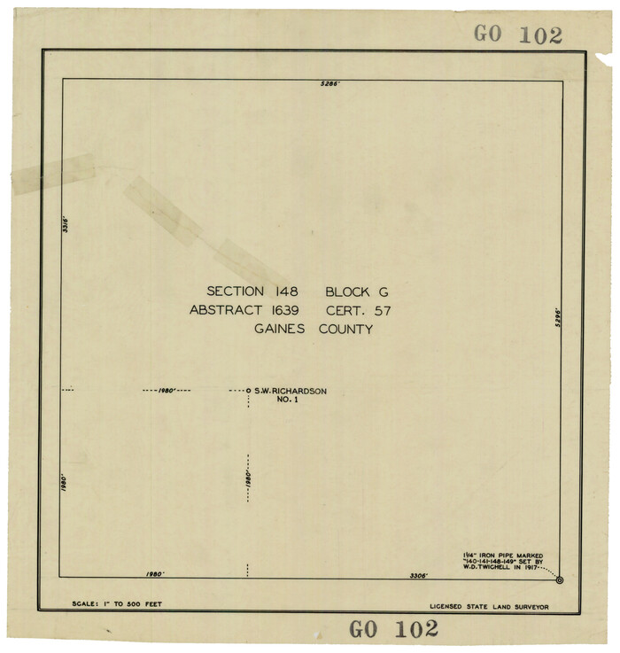
Section 148 Block G Abstract 1639 Cert. 57 Gaines County

Print $20.00
- Digital $50.00
Section 148 Block G Abstract 1639 Cert. 57 Gaines County
Size 13.0 x 13.7 inches
Map/Doc 93228
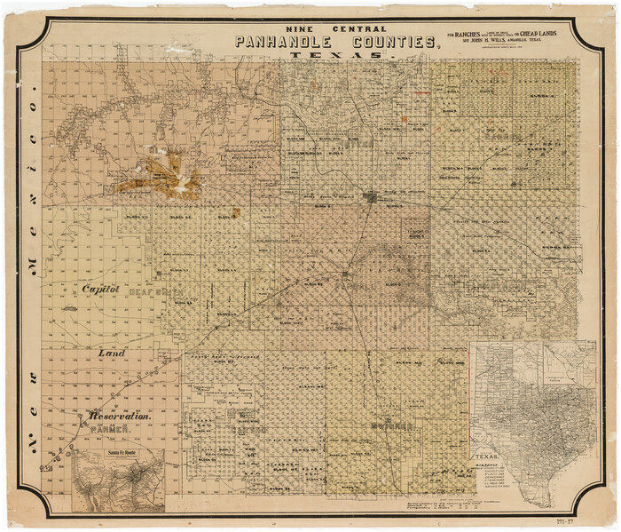
Nine Central Panhandle Counties, Texas

Print $20.00
- Digital $50.00
Nine Central Panhandle Counties, Texas
1899
Size 41.3 x 35.3 inches
Map/Doc 89790
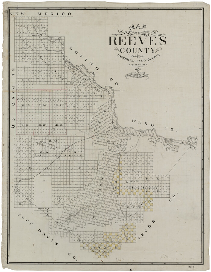
Map of Reeves County, 1892

Print $20.00
- Digital $50.00
Map of Reeves County, 1892
1892
Size 35.8 x 46.3 inches
Map/Doc 89708
[Blocks 34 and 35, Township 4N]
![92030, [Blocks 34 and 35, Township 4N], Twichell Survey Records](https://historictexasmaps.com/wmedia_w700/maps/92030-1.tif.jpg)
![92030, [Blocks 34 and 35, Township 4N], Twichell Survey Records](https://historictexasmaps.com/wmedia_w700/maps/92030-1.tif.jpg)
Print $20.00
- Digital $50.00
[Blocks 34 and 35, Township 4N]
Size 24.6 x 23.6 inches
Map/Doc 92030
[Leagues 464-467]
![91555, [Leagues 464-467], Twichell Survey Records](https://historictexasmaps.com/wmedia_w700/maps/91555-1.tif.jpg)
![91555, [Leagues 464-467], Twichell Survey Records](https://historictexasmaps.com/wmedia_w700/maps/91555-1.tif.jpg)
Print $20.00
- Digital $50.00
[Leagues 464-467]
Size 19.4 x 15.1 inches
Map/Doc 91555
[North half Dawson County, southwest quarter Lynn County, south half of Terry County, southeast quarter Yoakum County, north half Gaines County]
![93133, [North half Dawson County, southwest quarter Lynn County, south half of Terry County, southeast quarter Yoakum County, north half Gaines County], Twichell Survey Records](https://historictexasmaps.com/wmedia_w700/maps/93133-1.tif.jpg)
![93133, [North half Dawson County, southwest quarter Lynn County, south half of Terry County, southeast quarter Yoakum County, north half Gaines County], Twichell Survey Records](https://historictexasmaps.com/wmedia_w700/maps/93133-1.tif.jpg)
Print $40.00
- Digital $50.00
[North half Dawson County, southwest quarter Lynn County, south half of Terry County, southeast quarter Yoakum County, north half Gaines County]
Size 79.8 x 45.3 inches
Map/Doc 93133
U.S. Coast and Geodetic First Order Triangulation Stations Geographic Positions Plotted by W.D. Twichell

Digital $50.00
U.S. Coast and Geodetic First Order Triangulation Stations Geographic Positions Plotted by W.D. Twichell
Size 18.0 x 22.7 inches
Map/Doc 92044
[Runnels County School Land and river surveys adjacent]
![91580, [Runnels County School Land and river surveys adjacent], Twichell Survey Records](https://historictexasmaps.com/wmedia_w700/maps/91580-1.tif.jpg)
![91580, [Runnels County School Land and river surveys adjacent], Twichell Survey Records](https://historictexasmaps.com/wmedia_w700/maps/91580-1.tif.jpg)
Print $2.00
- Digital $50.00
[Runnels County School Land and river surveys adjacent]
1945
Size 13.5 x 8.7 inches
Map/Doc 91580
You may also like
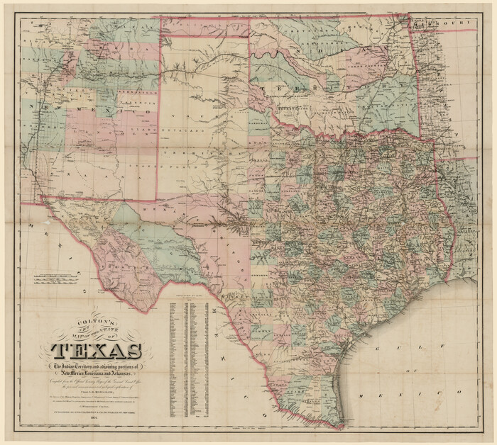
Colton's new map of the State of Texas, the Indian Territory and adjoining portions of New Mexico, Louisiana and Arkansas

Print $20.00
- Digital $50.00
Colton's new map of the State of Texas, the Indian Territory and adjoining portions of New Mexico, Louisiana and Arkansas
1874
Size 34.7 x 38.7 inches
Map/Doc 93762
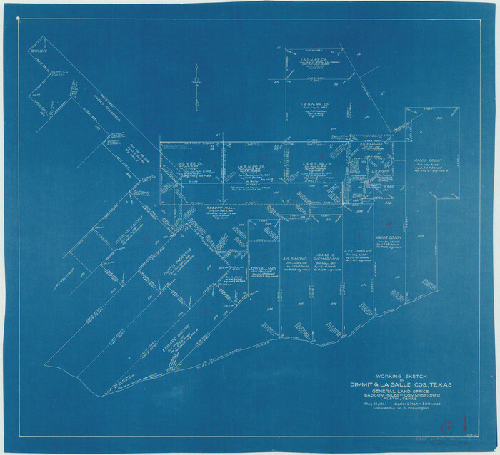
Dimmit County Working Sketch 14

Print $20.00
- Digital $50.00
Dimmit County Working Sketch 14
1941
Size 27.4 x 30.1 inches
Map/Doc 68675
Flight Mission No. DAG-22K, Frame 83, Matagorda County


Print $20.00
- Digital $50.00
Flight Mission No. DAG-22K, Frame 83, Matagorda County
1953
Size 18.5 x 18.7 inches
Map/Doc 86467
Brooks County Working Sketch 3


Print $20.00
- Digital $50.00
Brooks County Working Sketch 3
Size 16.2 x 21.3 inches
Map/Doc 67787
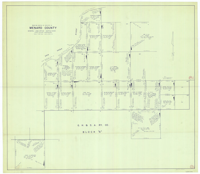
Menard County Working Sketch 27

Print $20.00
- Digital $50.00
Menard County Working Sketch 27
1962
Size 38.2 x 43.8 inches
Map/Doc 70974
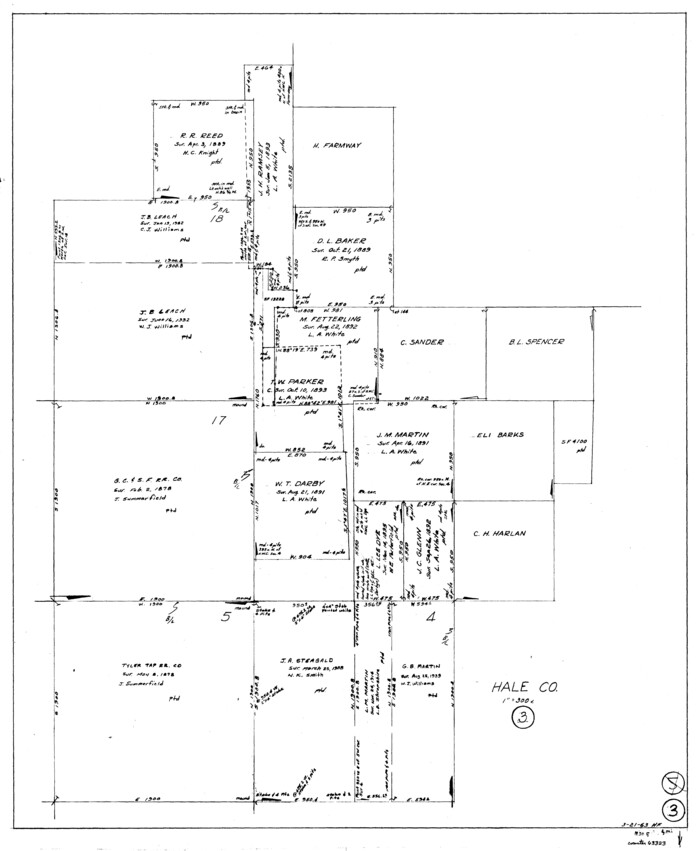
Hale County Working Sketch 3

Print $20.00
- Digital $50.00
Hale County Working Sketch 3
1963
Size 27.0 x 22.2 inches
Map/Doc 63323
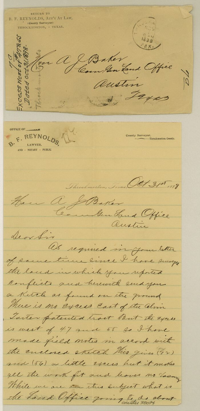
Throckmorton County Sketch File 7a

Print $6.00
- Digital $50.00
Throckmorton County Sketch File 7a
1898
Size 13.9 x 6.7 inches
Map/Doc 38094
Travis County Boundary File 30


Print $4.00
- Digital $50.00
Travis County Boundary File 30
Size 10.4 x 8.6 inches
Map/Doc 59469
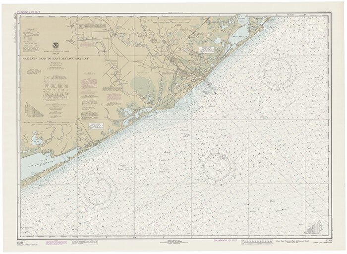
San Luis Pass to East Matagorda Bay

Print $40.00
- Digital $50.00
San Luis Pass to East Matagorda Bay
1982
Size 35.6 x 49.3 inches
Map/Doc 69970
Brazos River, Gurley Sheet


Print $6.00
- Digital $50.00
Brazos River, Gurley Sheet
1929
Size 33.1 x 30.2 inches
Map/Doc 65282
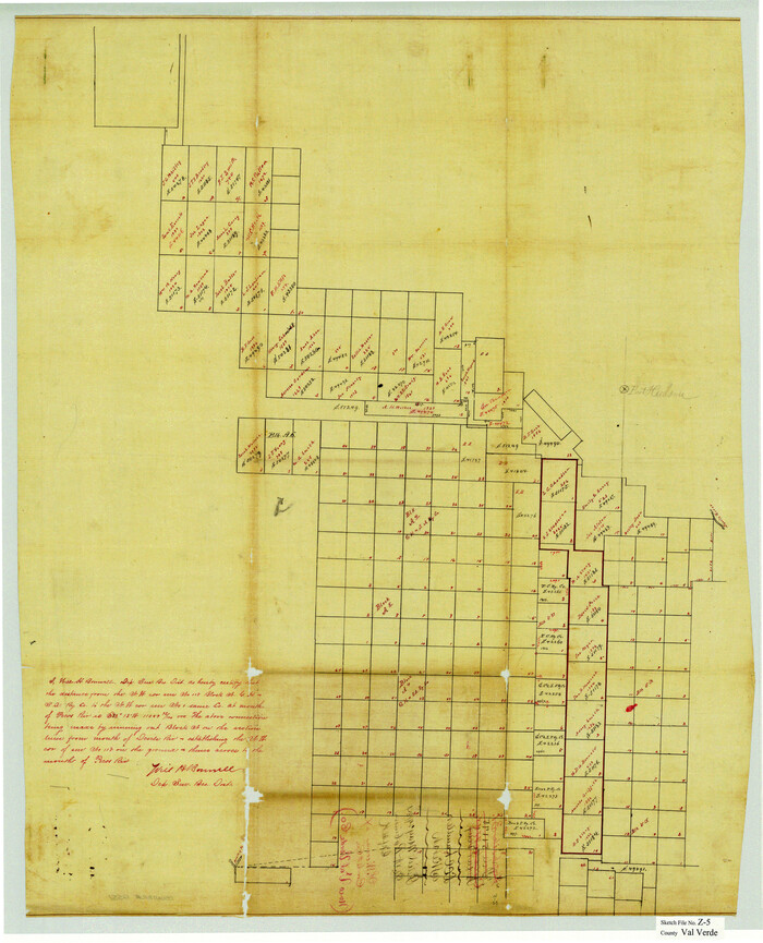
Val Verde County Sketch File Z5

Print $20.00
- Digital $50.00
Val Verde County Sketch File Z5
Size 32.3 x 26.1 inches
Map/Doc 12551
![91482, [Capitol Lands in Oldham and Deaf Smith Counties], Twichell Survey Records](https://historictexasmaps.com/wmedia_w1800h1800/maps/91482-1.tif.jpg)
![91861, [Block D7], Twichell Survey Records](https://historictexasmaps.com/wmedia_w700/maps/91861-1.tif.jpg)
