[Land on East Side of Creek, Exhibit G]
170-7
-
Map/Doc
91372
-
Collection
Twichell Survey Records
-
Counties
Montgomery
-
Height x Width
19.4 x 29.6 inches
49.3 x 75.2 cm
Part of: Twichell Survey Records
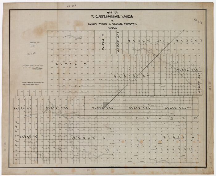
Map of T. C. Spearman's Lands in Gaines, Terry & Yoakum Counties, Texas

Print $20.00
- Digital $50.00
Map of T. C. Spearman's Lands in Gaines, Terry & Yoakum Counties, Texas
1917
Size 46.0 x 37.6 inches
Map/Doc 89842
[Block 3 and part of Block 2]
![90760, [Block 3 and part of Block 2], Twichell Survey Records](https://historictexasmaps.com/wmedia_w700/maps/90760-1.tif.jpg)
![90760, [Block 3 and part of Block 2], Twichell Survey Records](https://historictexasmaps.com/wmedia_w700/maps/90760-1.tif.jpg)
Print $2.00
- Digital $50.00
[Block 3 and part of Block 2]
1882
Size 13.1 x 9.1 inches
Map/Doc 90760
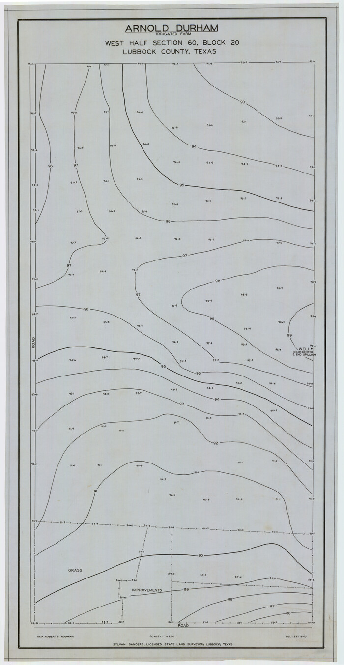
Arnold Durham Irrigated Farm West Half Section 60, Block 20

Print $20.00
- Digital $50.00
Arnold Durham Irrigated Farm West Half Section 60, Block 20
1945
Size 16.5 x 31.4 inches
Map/Doc 92316
[Map of Resurvey of Block 34 and 35, Township 5 N]
![90551, [Map of Resurvey of Block 34 and 35, Township 5 N], Twichell Survey Records](https://historictexasmaps.com/wmedia_w700/maps/90551-1.tif.jpg)
![90551, [Map of Resurvey of Block 34 and 35, Township 5 N], Twichell Survey Records](https://historictexasmaps.com/wmedia_w700/maps/90551-1.tif.jpg)
Print $20.00
- Digital $50.00
[Map of Resurvey of Block 34 and 35, Township 5 N]
1915
Size 25.5 x 16.4 inches
Map/Doc 90551
Brazos River Conservation and Reclamation District Official Boundary Line Survey


Print $20.00
- Digital $50.00
Brazos River Conservation and Reclamation District Official Boundary Line Survey
Size 36.6 x 24.6 inches
Map/Doc 90128
[Sketch showing parts of Blocks 3, 5, 22, M-20, S, T and Block BB, surveys 1, 2 and 3]
![91729, [Sketch showing parts of Blocks 3, 5, 22, M-20, S, T and Block BB, surveys 1, 2 and 3], Twichell Survey Records](https://historictexasmaps.com/wmedia_w700/maps/91729-1.tif.jpg)
![91729, [Sketch showing parts of Blocks 3, 5, 22, M-20, S, T and Block BB, surveys 1, 2 and 3], Twichell Survey Records](https://historictexasmaps.com/wmedia_w700/maps/91729-1.tif.jpg)
Print $20.00
- Digital $50.00
[Sketch showing parts of Blocks 3, 5, 22, M-20, S, T and Block BB, surveys 1, 2 and 3]
Size 15.9 x 15.3 inches
Map/Doc 91729
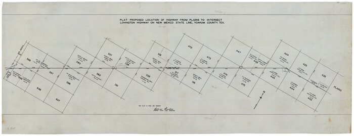
Plat Proposed Location of Highway From Plains to Intersect Lovington Highway on New Mexico State Line

Print $20.00
- Digital $50.00
Plat Proposed Location of Highway From Plains to Intersect Lovington Highway on New Mexico State Line
Size 44.2 x 17.3 inches
Map/Doc 92856
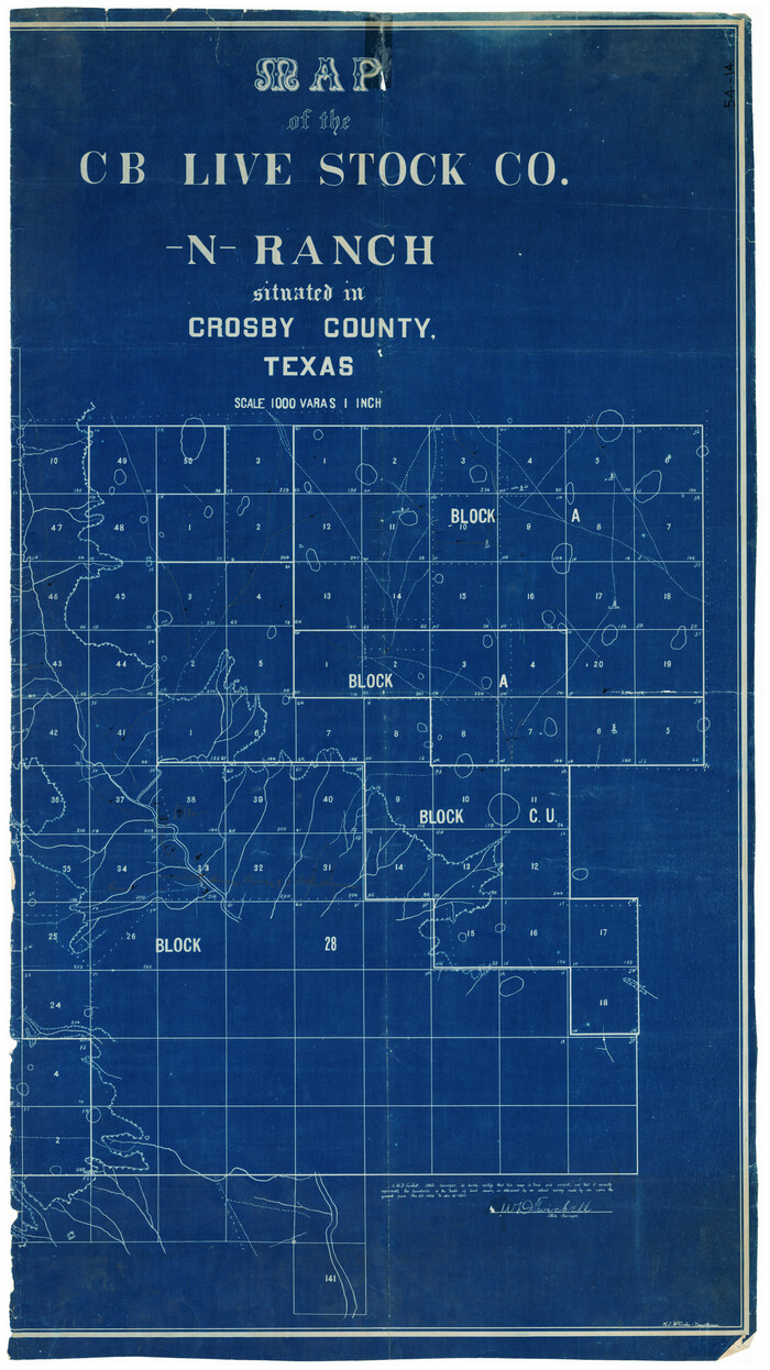
Map of the CB Live Stock Co. -N- Ranch situated in Crosby County, Texas

Print $20.00
- Digital $50.00
Map of the CB Live Stock Co. -N- Ranch situated in Crosby County, Texas
Size 21.2 x 38.1 inches
Map/Doc 90332
[Lgs. 195-199, 111, 112, 211-214, 678]
![90105, [Lgs. 195-199, 111, 112, 211-214, 678], Twichell Survey Records](https://historictexasmaps.com/wmedia_w700/maps/90105-1.tif.jpg)
![90105, [Lgs. 195-199, 111, 112, 211-214, 678], Twichell Survey Records](https://historictexasmaps.com/wmedia_w700/maps/90105-1.tif.jpg)
Print $20.00
- Digital $50.00
[Lgs. 195-199, 111, 112, 211-214, 678]
Size 16.6 x 13.0 inches
Map/Doc 90105
[Sketch showing A. B. & M. Block 2 in Potter and Randall Counties]
![91822, [Sketch showing A. B. & M. Block 2 in Potter and Randall Counties], Twichell Survey Records](https://historictexasmaps.com/wmedia_w700/maps/91822-1.tif.jpg)
![91822, [Sketch showing A. B. & M. Block 2 in Potter and Randall Counties], Twichell Survey Records](https://historictexasmaps.com/wmedia_w700/maps/91822-1.tif.jpg)
Print $20.00
- Digital $50.00
[Sketch showing A. B. & M. Block 2 in Potter and Randall Counties]
1916
Size 27.2 x 33.4 inches
Map/Doc 91822
[Blocks S1, O6, D10, A4]
![90702, [Blocks S1, O6, D10, A4], Twichell Survey Records](https://historictexasmaps.com/wmedia_w700/maps/90702-1.tif.jpg)
![90702, [Blocks S1, O6, D10, A4], Twichell Survey Records](https://historictexasmaps.com/wmedia_w700/maps/90702-1.tif.jpg)
Print $20.00
- Digital $50.00
[Blocks S1, O6, D10, A4]
Size 36.5 x 28.9 inches
Map/Doc 90702
[T. & N. O. Railroad Company, Block 2T]
![91516, [T. & N. O. Railroad Company, Block 2T], Twichell Survey Records](https://historictexasmaps.com/wmedia_w700/maps/91516-1.tif.jpg)
![91516, [T. & N. O. Railroad Company, Block 2T], Twichell Survey Records](https://historictexasmaps.com/wmedia_w700/maps/91516-1.tif.jpg)
Print $20.00
- Digital $50.00
[T. & N. O. Railroad Company, Block 2T]
Size 30.6 x 9.5 inches
Map/Doc 91516
You may also like
Jefferson County Sketch File 17

Print $4.00
- Digital $50.00
Jefferson County Sketch File 17
Size 7.9 x 8.1 inches
Map/Doc 28165
Tyler County Sketch File 30


Print $4.00
- Digital $50.00
Tyler County Sketch File 30
1989
Size 14.3 x 8.8 inches
Map/Doc 38721
Oldham County

Print $20.00
- Digital $50.00
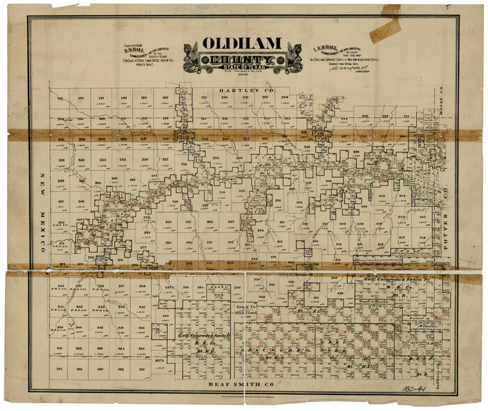
Oldham County
1888
Size 19.6 x 16.5 inches
Map/Doc 93018
Wayside Notes East Bound Along Sunset Route

Wayside Notes East Bound Along Sunset Route
1915
Map/Doc 96718
Brown County Sketch File 30


Print $27.00
- Digital $50.00
Brown County Sketch File 30
1924
Size 12.7 x 11.0 inches
Map/Doc 16631
Coryell County Working Sketch 17


Print $20.00
- Digital $50.00
Coryell County Working Sketch 17
1958
Size 35.4 x 35.0 inches
Map/Doc 68224
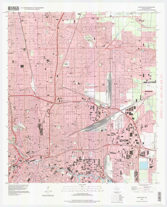
Harris County NRC Article 33.136 Location Key Sheet

Print $20.00
- Digital $50.00
Harris County NRC Article 33.136 Location Key Sheet
1995
Size 27.0 x 21.8 inches
Map/Doc 82992
Flight Mission No. BRA-9M, Frame 60, Jefferson County


Print $20.00
- Digital $50.00
Flight Mission No. BRA-9M, Frame 60, Jefferson County
1953
Size 18.6 x 22.4 inches
Map/Doc 85643
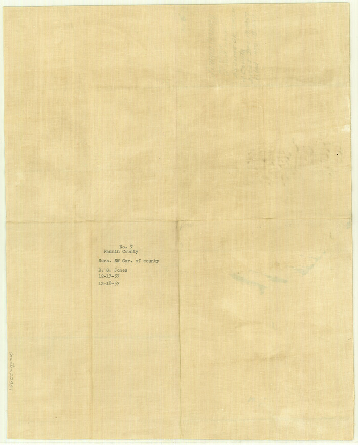
Fannin County Sketch File 7

Print $40.00
- Digital $50.00
Fannin County Sketch File 7
1857
Size 16.8 x 13.5 inches
Map/Doc 22451
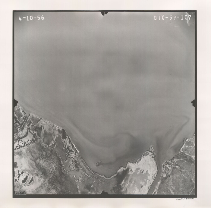
Flight Mission No. DIX-5P, Frame 107, Aransas County

Print $20.00
- Digital $50.00
Flight Mission No. DIX-5P, Frame 107, Aransas County
1956
Size 17.6 x 17.8 inches
Map/Doc 83785
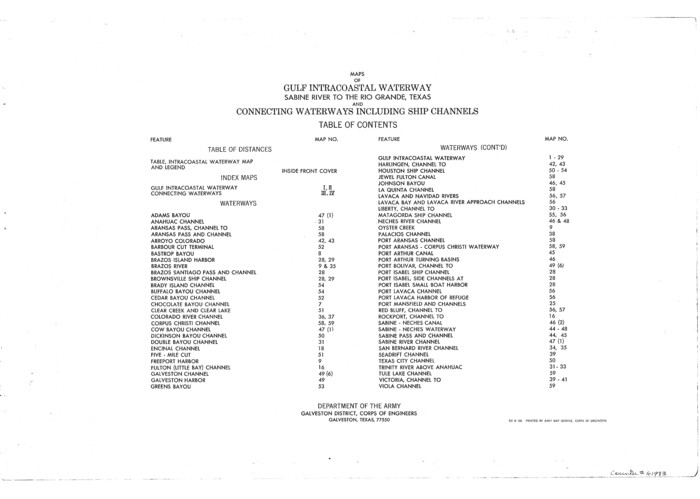
Maps of Gulf Intracoastal Waterway, Texas - Sabine River to the Rio Grande and connecting waterways including ship channels

Print $20.00
- Digital $50.00
Maps of Gulf Intracoastal Waterway, Texas - Sabine River to the Rio Grande and connecting waterways including ship channels
1966
Size 15.7 x 22.0 inches
Map/Doc 61983
![91372, [Land on East Side of Creek, Exhibit G], Twichell Survey Records](https://historictexasmaps.com/wmedia_w1800h1800/maps/91372-1.tif.jpg)
