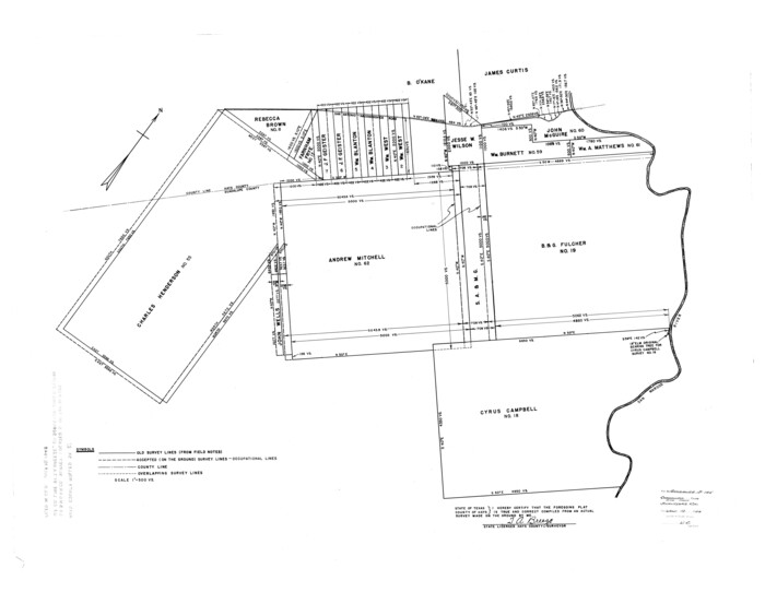
[H. & T. C. RR. Company Block 47, Sections 46, 47, 48, and 49]
117-111
-
Map/Doc
91220
-
Collection
Twichell Survey Records
-
Counties
Hutchinson
-
Height x Width
9.4 x 11.4 inches
23.9 x 29.0 cm
Part of: Twichell Survey Records
[Sketch fragment in Garza and Crosby Counties]
![90855, [Sketch fragment in Garza and Crosby Counties], Twichell Survey Records](https://historictexasmaps.com/wmedia_w700/maps/90855-2.tif.jpg)
![90855, [Sketch fragment in Garza and Crosby Counties], Twichell Survey Records](https://historictexasmaps.com/wmedia_w700/maps/90855-2.tif.jpg)
Print $20.00
- Digital $50.00
[Sketch fragment in Garza and Crosby Counties]
Size 32.6 x 17.0 inches
Map/Doc 90855
[H. & T. C. Block 47]
![91146, [H. & T. C. Block 47], Twichell Survey Records](https://historictexasmaps.com/wmedia_w700/maps/91146-1.tif.jpg)
![91146, [H. & T. C. Block 47], Twichell Survey Records](https://historictexasmaps.com/wmedia_w700/maps/91146-1.tif.jpg)
Print $20.00
- Digital $50.00
[H. & T. C. Block 47]
Size 15.8 x 23.4 inches
Map/Doc 91146
[Townships 1 & 2, Blocks 56, 57]
![92927, [Townships 1 & 2, Blocks 56, 57], Twichell Survey Records](https://historictexasmaps.com/wmedia_w700/maps/92927-1.tif.jpg)
![92927, [Townships 1 & 2, Blocks 56, 57], Twichell Survey Records](https://historictexasmaps.com/wmedia_w700/maps/92927-1.tif.jpg)
Print $20.00
- Digital $50.00
[Townships 1 & 2, Blocks 56, 57]
Size 19.7 x 22.8 inches
Map/Doc 92927
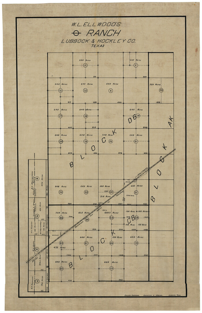
W. L. Ellwood's O Ranch, Lubbock and Hockley Co.

Print $20.00
- Digital $50.00
W. L. Ellwood's O Ranch, Lubbock and Hockley Co.
Size 15.5 x 23.8 inches
Map/Doc 92762
[C. C. S. D. & R. G. N. G. RR. Co. Block G, Waxahachie Tap RR. Co. Block G and D. & W. RR. Co. Block H]
![90859, [C. C. S. D. & R. G. N. G. RR. Co. Block G, Waxahachie Tap RR. Co. Block G and D. & W. RR. Co. Block H], Twichell Survey Records](https://historictexasmaps.com/wmedia_w700/maps/90859-2.tif.jpg)
![90859, [C. C. S. D. & R. G. N. G. RR. Co. Block G, Waxahachie Tap RR. Co. Block G and D. & W. RR. Co. Block H], Twichell Survey Records](https://historictexasmaps.com/wmedia_w700/maps/90859-2.tif.jpg)
Print $20.00
- Digital $50.00
[C. C. S. D. & R. G. N. G. RR. Co. Block G, Waxahachie Tap RR. Co. Block G and D. & W. RR. Co. Block H]
1915
Size 22.6 x 11.4 inches
Map/Doc 90859
[City of Lamesa and vicinity]
![92593, [City of Lamesa and vicinity], Twichell Survey Records](https://historictexasmaps.com/wmedia_w700/maps/92593-1.tif.jpg)
![92593, [City of Lamesa and vicinity], Twichell Survey Records](https://historictexasmaps.com/wmedia_w700/maps/92593-1.tif.jpg)
Print $20.00
- Digital $50.00
[City of Lamesa and vicinity]
1946
Size 33.9 x 10.5 inches
Map/Doc 92593
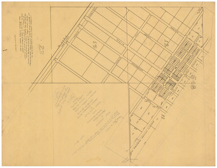
First Addition to Amherst Suburban Farms

Print $20.00
- Digital $50.00
First Addition to Amherst Suburban Farms
Size 26.5 x 20.6 inches
Map/Doc 92430
[Northwest corner of the County]
![90873, [Northwest corner of the County], Twichell Survey Records](https://historictexasmaps.com/wmedia_w700/maps/90873-2.tif.jpg)
![90873, [Northwest corner of the County], Twichell Survey Records](https://historictexasmaps.com/wmedia_w700/maps/90873-2.tif.jpg)
Print $20.00
- Digital $50.00
[Northwest corner of the County]
1903
Size 19.1 x 21.5 inches
Map/Doc 90873
[T. & N. O. RR. Co. Block 2]
![92696, [T. & N. O. RR. Co. Block 2], Twichell Survey Records](https://historictexasmaps.com/wmedia_w700/maps/92696-1.tif.jpg)
![92696, [T. & N. O. RR. Co. Block 2], Twichell Survey Records](https://historictexasmaps.com/wmedia_w700/maps/92696-1.tif.jpg)
Print $20.00
- Digital $50.00
[T. & N. O. RR. Co. Block 2]
Size 22.5 x 28.0 inches
Map/Doc 92696
City of Andrews


Print $20.00
- Digital $50.00
City of Andrews
1951
Size 25.1 x 24.2 inches
Map/Doc 92454
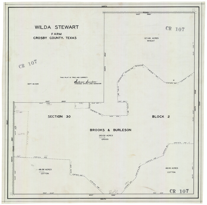
Wilda Stewart Farm, Crosby County, Texas

Print $20.00
- Digital $50.00
Wilda Stewart Farm, Crosby County, Texas
1949
Size 20.5 x 20.4 inches
Map/Doc 92599
[E. L. & R. R. RR. Co. Blocks 10 and 32, T. & P. R.R. Co. Blocks 30 and 31, Tsp 6N]
![90216, [E. L. & R. R. RR. Co. Blocks 10 and 32, T. & P. R.R. Co. Blocks 30 and 31, Tsp 6N], Twichell Survey Records](https://historictexasmaps.com/wmedia_w700/maps/90216-1.tif.jpg)
![90216, [E. L. & R. R. RR. Co. Blocks 10 and 32, T. & P. R.R. Co. Blocks 30 and 31, Tsp 6N], Twichell Survey Records](https://historictexasmaps.com/wmedia_w700/maps/90216-1.tif.jpg)
Print $20.00
- Digital $50.00
[E. L. & R. R. RR. Co. Blocks 10 and 32, T. & P. R.R. Co. Blocks 30 and 31, Tsp 6N]
Size 21.7 x 17.7 inches
Map/Doc 90216
You may also like
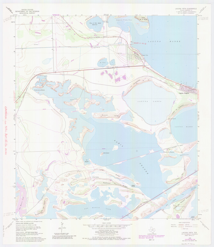
Cameron County NRC Article 33.136 Location Key Sheet

Print $20.00
- Digital $50.00
Cameron County NRC Article 33.136 Location Key Sheet
1983
Size 27.0 x 22.0 inches
Map/Doc 77012
Jeff Davis County
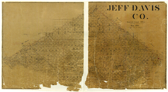

Print $40.00
- Digital $50.00
Jeff Davis County
1893
Size 26.2 x 48.2 inches
Map/Doc 3719
A Geographically Correct Map of the State of Texas


Print $20.00
- Digital $50.00
A Geographically Correct Map of the State of Texas
1878
Size 19.5 x 21.0 inches
Map/Doc 95757
McLennan County Sketch File 16
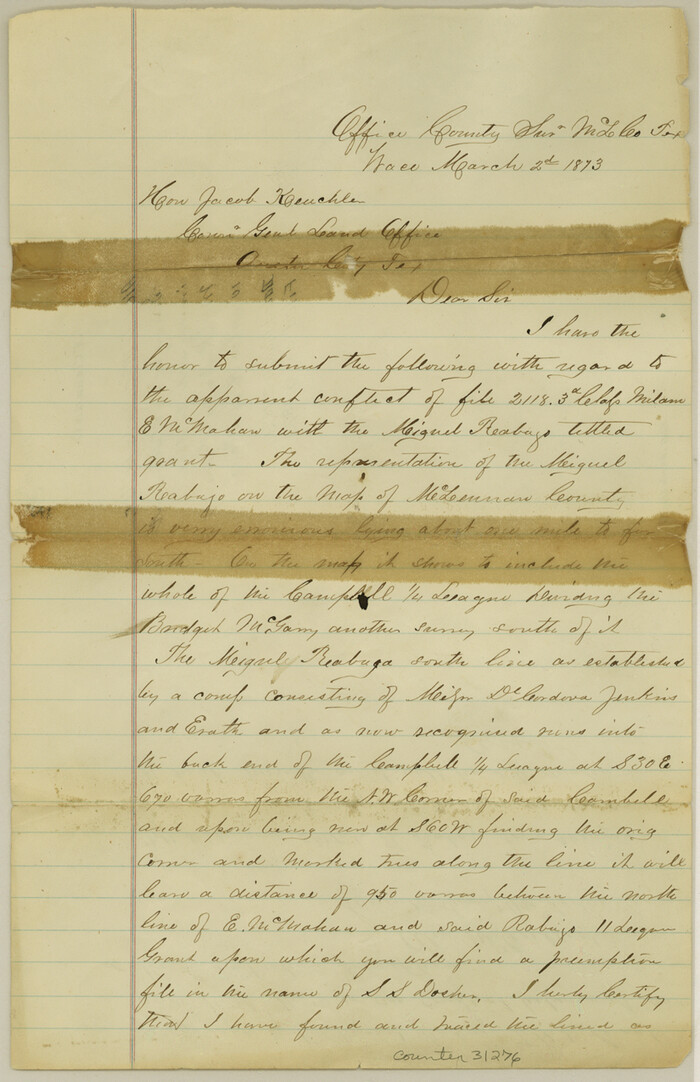

Print $4.00
- Digital $50.00
McLennan County Sketch File 16
1873
Size 12.7 x 8.2 inches
Map/Doc 31276
Brazoria County Rolled Sketch 45


Print $4.00
- Digital $50.00
Brazoria County Rolled Sketch 45
1885
Size 23.0 x 28.5 inches
Map/Doc 5179
[B. S. & F. Block M7]
![90393, [B. S. & F. Block M7], Twichell Survey Records](https://historictexasmaps.com/wmedia_w700/maps/90393-1.tif.jpg)
![90393, [B. S. & F. Block M7], Twichell Survey Records](https://historictexasmaps.com/wmedia_w700/maps/90393-1.tif.jpg)
Print $20.00
- Digital $50.00
[B. S. & F. Block M7]
1905
Size 21.7 x 17.9 inches
Map/Doc 90393
Hardin County Working Sketch 16


Print $20.00
- Digital $50.00
Hardin County Working Sketch 16
1940
Size 18.1 x 23.2 inches
Map/Doc 63414
Martin County Working Sketch 16
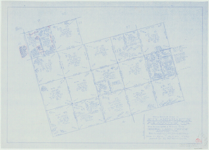

Print $20.00
- Digital $50.00
Martin County Working Sketch 16
1979
Size 26.6 x 36.8 inches
Map/Doc 70834
Brazoria County Working Sketch 18
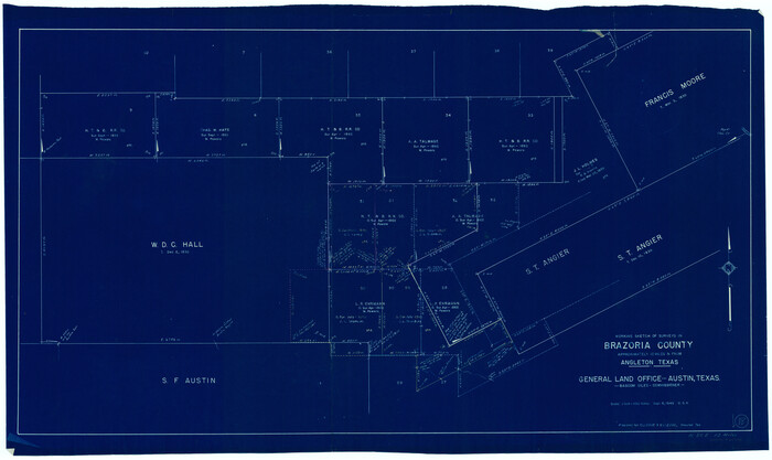

Print $20.00
- Digital $50.00
Brazoria County Working Sketch 18
1949
Size 25.3 x 42.5 inches
Map/Doc 67503
Taylor County Working Sketch 10


Print $20.00
- Digital $50.00
Taylor County Working Sketch 10
1955
Size 21.6 x 25.5 inches
Map/Doc 69620
Hays County Rolled Sketch 27

Print $20.00
- Digital $50.00
Hays County Rolled Sketch 27
1948
Size 34.0 x 43.0 inches
Map/Doc 9149
![91220, [H. & T. C. RR. Company Block 47, Sections 46, 47, 48, and 49], Twichell Survey Records](https://historictexasmaps.com/wmedia_w1800h1800/maps/91220-1.tif.jpg)
