Uvalde County Rolled Sketch 5
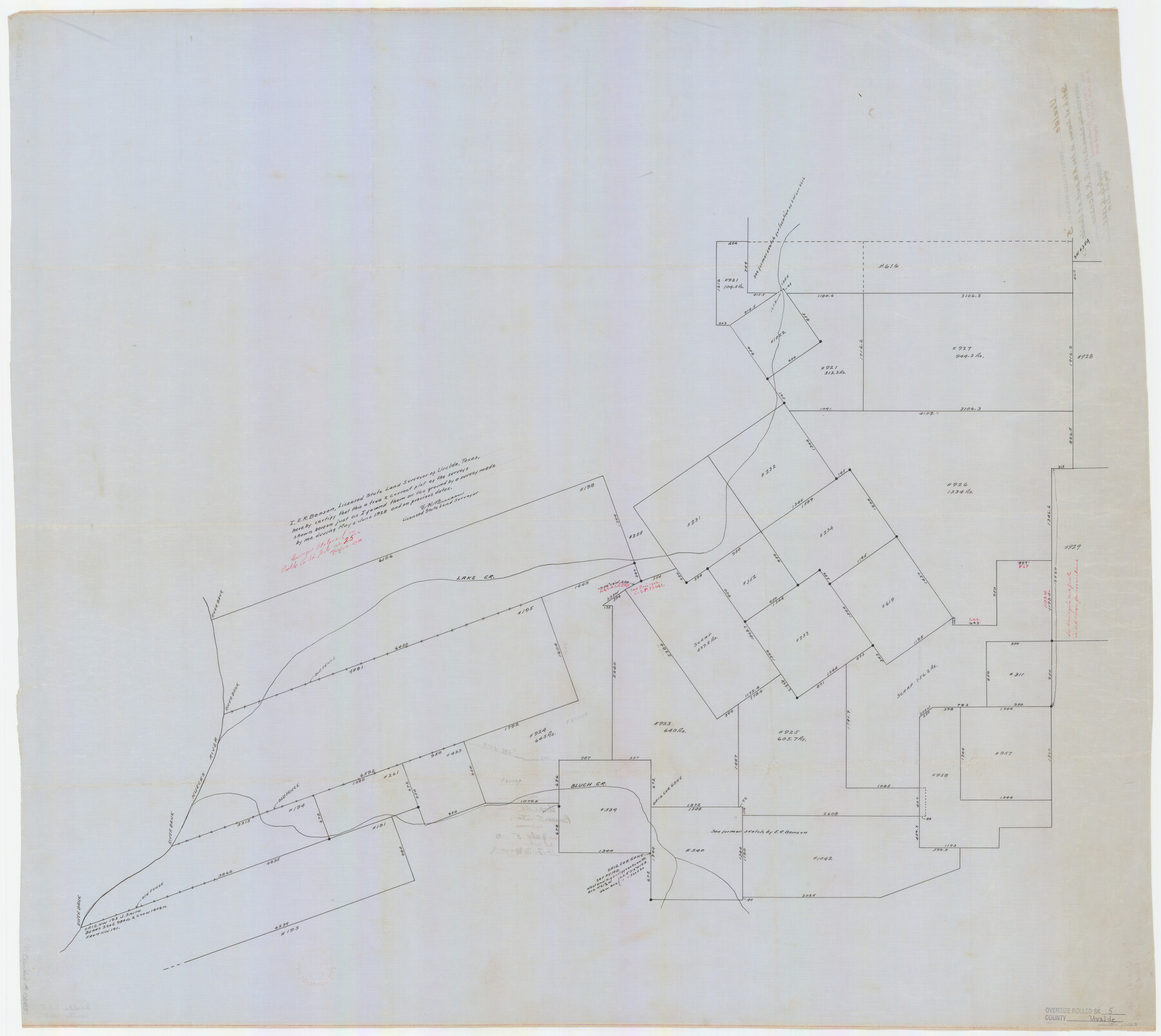
[Sketch of surveys in the northwest part of Uvalde County]
-
Map/Doc
10063
-
Collection
General Map Collection
-
Object Dates
1928 (Survey Date)
1928/7/5 (File Date)
-
People and Organizations
E.R. Benson (Surveyor/Engineer)
-
Counties
Uvalde
-
Subjects
Surveying Rolled Sketch
-
Height x Width
38.0 x 42.6 inches
96.5 x 108.2 cm
-
Medium
linen, manuscript
-
Comments
See Uvalde County Sketch File 25 (39016) for surveyor's statement.
Related maps
Uvalde County Sketch File 25

Print $8.00
- Digital $50.00
Uvalde County Sketch File 25
1928
Size 14.5 x 8.8 inches
Map/Doc 39016
Part of: General Map Collection
Township 4 South Ranges 12 and 13 West, South Western District, Louisiana

Print $2.00
- Digital $50.00
Township 4 South Ranges 12 and 13 West, South Western District, Louisiana
1968
Size 10.5 x 7.6 inches
Map/Doc 65889
[San Antonio & Aransas Pass Through Gonzales County]
![64288, [San Antonio & Aransas Pass Through Gonzales County], General Map Collection](https://historictexasmaps.com/wmedia_w700/maps/64288.tif.jpg)
Print $20.00
- Digital $50.00
[San Antonio & Aransas Pass Through Gonzales County]
1880
Size 11.4 x 30.7 inches
Map/Doc 64288
DeWitt County Boundary File 2

Print $30.00
- Digital $50.00
DeWitt County Boundary File 2
Size 10.6 x 8.0 inches
Map/Doc 52498
Roberts County Working Sketch 22

Print $20.00
- Digital $50.00
Roberts County Working Sketch 22
1978
Size 31.0 x 42.9 inches
Map/Doc 63548
Wise County Rolled Sketch 9

Print $20.00
- Digital $50.00
Wise County Rolled Sketch 9
Size 35.2 x 24.2 inches
Map/Doc 93640
Harris County Working Sketch 27

Print $20.00
- Digital $50.00
Harris County Working Sketch 27
1933
Size 36.9 x 43.0 inches
Map/Doc 65919
Public Land on Mustang Island, Nueces County

Print $20.00
- Digital $50.00
Public Land on Mustang Island, Nueces County
1945
Size 43.4 x 40.1 inches
Map/Doc 73335
Jefferson County Rolled Sketch 36

Print $20.00
- Digital $50.00
Jefferson County Rolled Sketch 36
1957
Size 41.1 x 29.1 inches
Map/Doc 6395
Cass County Working Sketch 30

Print $20.00
- Digital $50.00
Cass County Working Sketch 30
1980
Size 41.4 x 35.0 inches
Map/Doc 67933
Uvalde County Working Sketch 40

Print $20.00
- Digital $50.00
Uvalde County Working Sketch 40
1975
Size 21.2 x 19.6 inches
Map/Doc 72110
Calhoun County Rolled Sketch 14

Print $20.00
- Digital $50.00
Calhoun County Rolled Sketch 14
1949
Size 20.2 x 29.6 inches
Map/Doc 5510
Andrews County Rolled Sketch 12

Print $40.00
- Digital $50.00
Andrews County Rolled Sketch 12
1933
Size 58.1 x 39.1 inches
Map/Doc 8390
You may also like
Atascosa County Working Sketch 10

Print $20.00
- Digital $50.00
Atascosa County Working Sketch 10
1919
Size 26.2 x 22.3 inches
Map/Doc 67206
Carta Particular de las Costas Setentrionales del Seno Mexicano que comprehende las de la Florída Ocidental las Márgenes de la Luisiana y toda la rivera que sigue por la Bahía de S. Bernardo y el Rio Bravo del Norte hasta la Laguna Madre

Carta Particular de las Costas Setentrionales del Seno Mexicano que comprehende las de la Florída Ocidental las Márgenes de la Luisiana y toda la rivera que sigue por la Bahía de S. Bernardo y el Rio Bravo del Norte hasta la Laguna Madre
1807
Size 27.3 x 40.3 inches
Map/Doc 94565
Henderson County Sketch File 20

Print $20.00
- Digital $50.00
Henderson County Sketch File 20
Size 23.7 x 23.5 inches
Map/Doc 11757
Gillespie County

Print $20.00
- Digital $50.00
Gillespie County
1945
Size 36.7 x 45.6 inches
Map/Doc 77289
Zavala County Working Sketch 2

Print $20.00
- Digital $50.00
Zavala County Working Sketch 2
Size 21.5 x 16.5 inches
Map/Doc 62077
Borden County Rolled Sketch 4

Print $40.00
- Digital $50.00
Borden County Rolled Sketch 4
Size 57.4 x 55.0 inches
Map/Doc 8447
Hockley County Boundary File 4

Print $76.00
- Digital $50.00
Hockley County Boundary File 4
Size 14.3 x 8.7 inches
Map/Doc 54810
General Highway Map, Coke County, Texas

Print $20.00
General Highway Map, Coke County, Texas
1961
Size 18.2 x 24.7 inches
Map/Doc 79411
Presidio County Working Sketch 95

Print $40.00
- Digital $50.00
Presidio County Working Sketch 95
1976
Size 62.8 x 32.0 inches
Map/Doc 71772
Topographical Map of the Rio Grande, Sheet No. 29

Print $20.00
- Digital $50.00
Topographical Map of the Rio Grande, Sheet No. 29
1912
Map/Doc 89553
Laguna Madre, Register No. 1477B

Print $40.00
- Digital $50.00
Laguna Madre, Register No. 1477B
1880
Size 33.4 x 56.6 inches
Map/Doc 73607
Flight Mission No. CRC-2R, Frame 136, Chambers County

Print $20.00
- Digital $50.00
Flight Mission No. CRC-2R, Frame 136, Chambers County
1956
Size 18.7 x 22.4 inches
Map/Doc 84752