[H. & G. N. Block 1, G. C. & S. F. Block Z]
117-46
-
Map/Doc
91168
-
Collection
Twichell Survey Records
-
Counties
Hutchinson
-
Height x Width
16.8 x 10.5 inches
42.7 x 26.7 cm
Part of: Twichell Survey Records
G. P. Co. Survey of A. C. Daws Tr. Lease No. 6453


Print $20.00
- Digital $50.00
G. P. Co. Survey of A. C. Daws Tr. Lease No. 6453
1920
Size 18.9 x 27.9 inches
Map/Doc 92022
[Parts of Blocks 33, 34, 35, and 36, Township 3 North]
![91288, [Parts of Blocks 33, 34, 35, and 36, Township 3 North], Twichell Survey Records](https://historictexasmaps.com/wmedia_w700/maps/91288-1.tif.jpg)
![91288, [Parts of Blocks 33, 34, 35, and 36, Township 3 North], Twichell Survey Records](https://historictexasmaps.com/wmedia_w700/maps/91288-1.tif.jpg)
Print $3.00
- Digital $50.00
[Parts of Blocks 33, 34, 35, and 36, Township 3 North]
Size 12.4 x 9.5 inches
Map/Doc 91288
[C. C. Slaughter Block 1, T. T. RR. Co. Block 2]
![90622, [C. C. Slaughter Block 1, T. T. RR. Co. Block 2], Twichell Survey Records](https://historictexasmaps.com/wmedia_w700/maps/90622-1.tif.jpg)
![90622, [C. C. Slaughter Block 1, T. T. RR. Co. Block 2], Twichell Survey Records](https://historictexasmaps.com/wmedia_w700/maps/90622-1.tif.jpg)
Print $3.00
- Digital $50.00
[C. C. Slaughter Block 1, T. T. RR. Co. Block 2]
Size 10.5 x 10.8 inches
Map/Doc 90622
[E. T. Ry. Blk. 1]
![89797, [E. T. Ry. Blk. 1], Twichell Survey Records](https://historictexasmaps.com/wmedia_w700/maps/89797-1.tif.jpg)
![89797, [E. T. Ry. Blk. 1], Twichell Survey Records](https://historictexasmaps.com/wmedia_w700/maps/89797-1.tif.jpg)
Print $40.00
- Digital $50.00
[E. T. Ry. Blk. 1]
Size 41.8 x 49.9 inches
Map/Doc 89797
Famous Heights Park Addition, Map Showing Proposed Park and Plan of Subdividing Famous Heights Plus Park, Addition to the city of Amarillo, Texas


Print $40.00
- Digital $50.00
Famous Heights Park Addition, Map Showing Proposed Park and Plan of Subdividing Famous Heights Plus Park, Addition to the city of Amarillo, Texas
1907
Size 62.5 x 37.4 inches
Map/Doc 93117
[Elizabeth Stanley, William H. Anderson, and surrounding surveys]
![91022, [Elizabeth Stanley, William H. Anderson, and surrounding surveys], Twichell Survey Records](https://historictexasmaps.com/wmedia_w700/maps/91022-1.tif.jpg)
![91022, [Elizabeth Stanley, William H. Anderson, and surrounding surveys], Twichell Survey Records](https://historictexasmaps.com/wmedia_w700/maps/91022-1.tif.jpg)
Print $20.00
- Digital $50.00
[Elizabeth Stanley, William H. Anderson, and surrounding surveys]
Size 27.0 x 18.9 inches
Map/Doc 91022
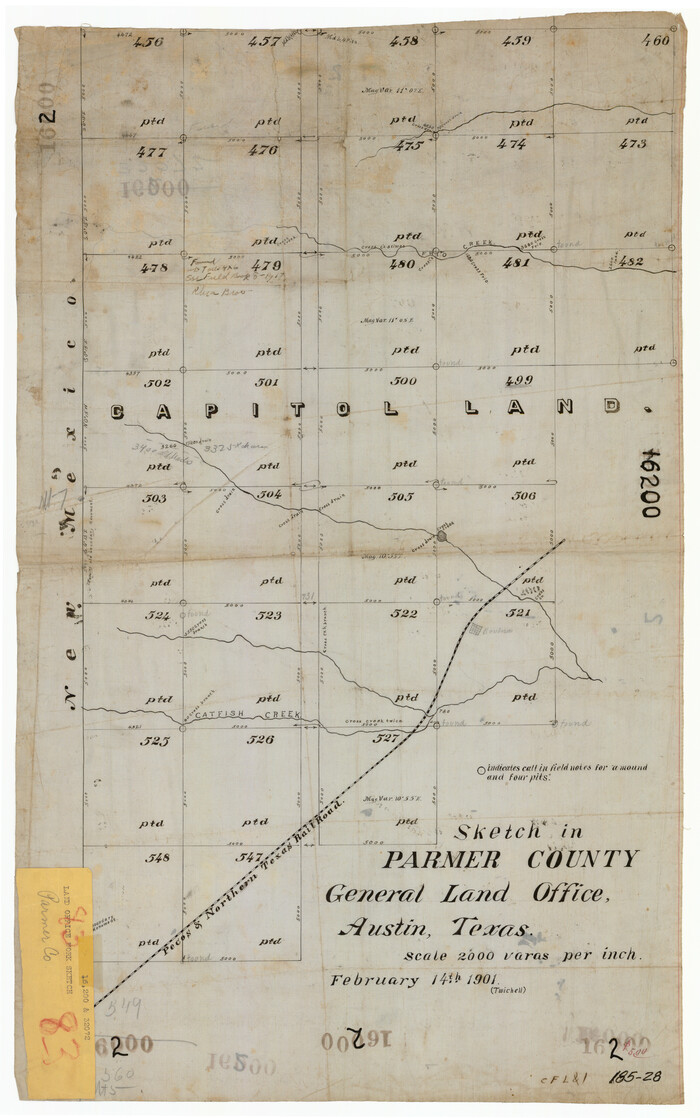
Sketch in Parmer County

Print $20.00
- Digital $50.00
Sketch in Parmer County
1901
Size 15.1 x 23.8 inches
Map/Doc 91644
[Strip map showing T. & P. Connecting line from northwest corner Sec. 3, Blk. 33 T5N to northwest corner Sec. 6, Blk. 34 T5N]
![93174, [Strip map showing T. & P. Connecting line from northwest corner Sec. 3, Blk. 33 T5N to northwest corner Sec. 6, Blk. 34 T5N], Twichell Survey Records](https://historictexasmaps.com/wmedia_w700/maps/93174-1.tif.jpg)
![93174, [Strip map showing T. & P. Connecting line from northwest corner Sec. 3, Blk. 33 T5N to northwest corner Sec. 6, Blk. 34 T5N], Twichell Survey Records](https://historictexasmaps.com/wmedia_w700/maps/93174-1.tif.jpg)
Print $40.00
- Digital $50.00
[Strip map showing T. & P. Connecting line from northwest corner Sec. 3, Blk. 33 T5N to northwest corner Sec. 6, Blk. 34 T5N]
1907
Size 7.3 x 77.5 inches
Map/Doc 93174
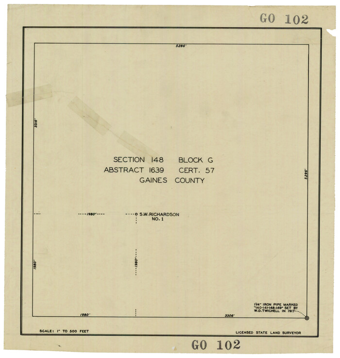
Section 148 Block G Abstract 1639 Cert. 57 Gaines County

Print $20.00
- Digital $50.00
Section 148 Block G Abstract 1639 Cert. 57 Gaines County
Size 13.0 x 13.7 inches
Map/Doc 93228
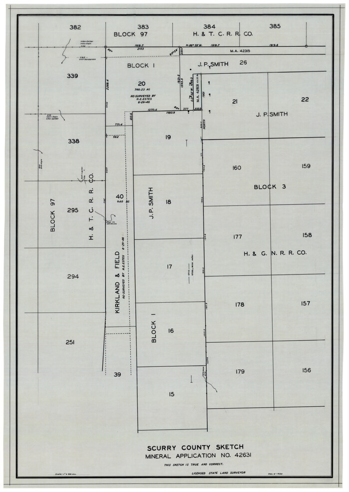
Scurry County Sketch Mineral Application No. 42631

Print $20.00
- Digital $50.00
Scurry County Sketch Mineral Application No. 42631
1950
Size 16.7 x 23.9 inches
Map/Doc 92966
[T. & P. Blocks 35 and 36, Township 4 North; Block I, Township 4 North]
![91297, [T. & P. Blocks 35 and 36, Township 4 North; Block I, Township 4 North], Twichell Survey Records](https://historictexasmaps.com/wmedia_w700/maps/91297-1.tif.jpg)
![91297, [T. & P. Blocks 35 and 36, Township 4 North; Block I, Township 4 North], Twichell Survey Records](https://historictexasmaps.com/wmedia_w700/maps/91297-1.tif.jpg)
Print $20.00
- Digital $50.00
[T. & P. Blocks 35 and 36, Township 4 North; Block I, Township 4 North]
Size 19.3 x 22.2 inches
Map/Doc 91297
You may also like
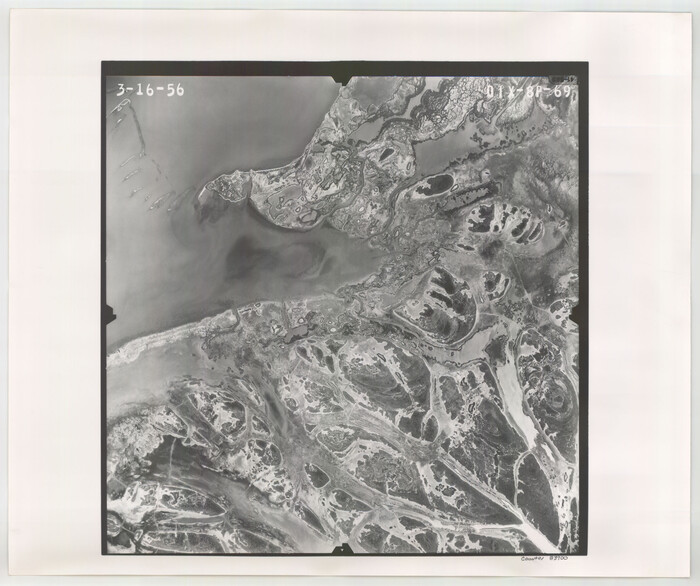
Flight Mission No. DIX-8P, Frame 69, Aransas County

Print $20.00
- Digital $50.00
Flight Mission No. DIX-8P, Frame 69, Aransas County
1956
Size 18.7 x 22.4 inches
Map/Doc 83900
Flight Mission No. DQN-7K, Frame 34, Calhoun County


Print $20.00
- Digital $50.00
Flight Mission No. DQN-7K, Frame 34, Calhoun County
1953
Size 18.5 x 22.1 inches
Map/Doc 84472
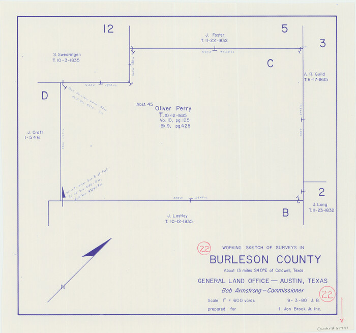
Burleson County Working Sketch 22

Print $20.00
- Digital $50.00
Burleson County Working Sketch 22
1980
Size 14.6 x 15.6 inches
Map/Doc 67741
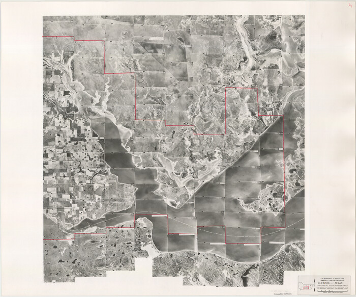
Kleberg County Aerial Photograph Index Sheet 5

Print $20.00
- Digital $50.00
Kleberg County Aerial Photograph Index Sheet 5
1956
Size 19.5 x 23.5 inches
Map/Doc 83722
[Sketch showing School Lands]
![90449, [Sketch showing School Lands], Twichell Survey Records](https://historictexasmaps.com/wmedia_w700/maps/90449-1.tif.jpg)
![90449, [Sketch showing School Lands], Twichell Survey Records](https://historictexasmaps.com/wmedia_w700/maps/90449-1.tif.jpg)
Print $20.00
- Digital $50.00
[Sketch showing School Lands]
Size 25.4 x 12.5 inches
Map/Doc 90449
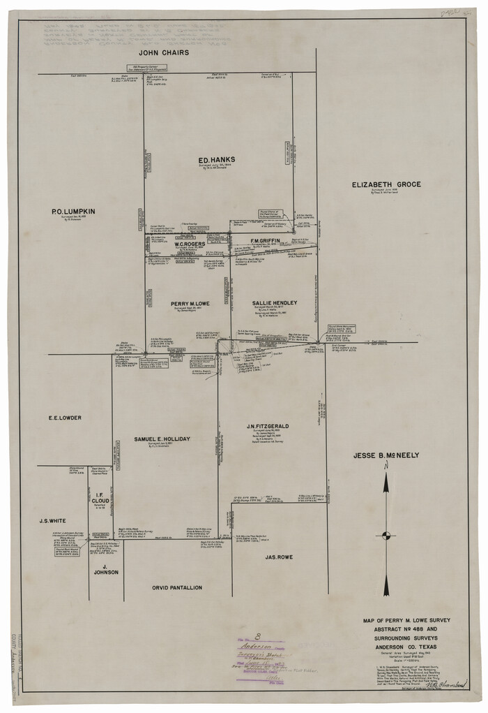
Anderson County Rolled Sketch 8

Print $20.00
- Digital $50.00
Anderson County Rolled Sketch 8
Size 34.8 x 23.9 inches
Map/Doc 77154
San Saba County Sketch File 12


Print $6.00
- Digital $50.00
San Saba County Sketch File 12
Size 11.8 x 9.3 inches
Map/Doc 36439
Wichita County Working Sketch 26


Print $20.00
- Digital $50.00
Wichita County Working Sketch 26
1981
Size 13.1 x 21.0 inches
Map/Doc 72536
Bandera County Working Sketch 22


Print $20.00
- Digital $50.00
Bandera County Working Sketch 22
1949
Size 42.8 x 24.9 inches
Map/Doc 67618
General Highway Map, San Patricio County, Texas


Print $20.00
General Highway Map, San Patricio County, Texas
1961
Size 18.1 x 24.5 inches
Map/Doc 79647
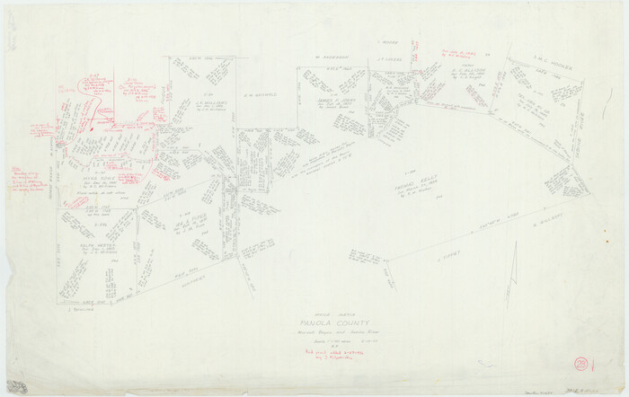
Panola County Working Sketch 28

Print $20.00
- Digital $50.00
Panola County Working Sketch 28
1977
Map/Doc 71437
![91168, [H. & G. N. Block 1, G. C. & S. F. Block Z], Twichell Survey Records](https://historictexasmaps.com/wmedia_w1800h1800/maps/91168-1.tif.jpg)
![91965, [PSL Block B19], Twichell Survey Records](https://historictexasmaps.com/wmedia_w700/maps/91965-1.tif.jpg)
