[H. & T. C. RR. Company, Block 47]
117-58
-
Map/Doc
91162
-
Collection
Twichell Survey Records
-
Object Dates
5/21/1921 (Creation Date)
-
People and Organizations
W.P. Hedgecoke (Surveyor/Engineer)
-
Counties
Hutchinson
-
Height x Width
13.1 x 20.6 inches
33.3 x 52.3 cm
Part of: Twichell Survey Records
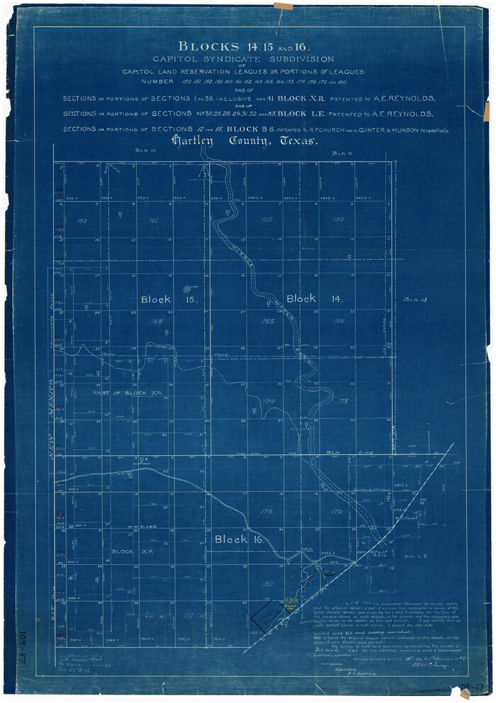
Blocks 14, 15, and 16 Capitol Syndicate Subdivision of Capitol Land Reservation Leagues

Print $20.00
- Digital $50.00
Blocks 14, 15, and 16 Capitol Syndicate Subdivision of Capitol Land Reservation Leagues
1907
Size 26.2 x 37.1 inches
Map/Doc 90712
[1680 Bed of Rock 20 Feet in Diameter on East Bank of Concho Drain]
![91361, [1680 Bed of Rock 20 Feet in Diameter on East Bank of Concho Drain], Twichell Survey Records](https://historictexasmaps.com/wmedia_w700/maps/91361-1.tif.jpg)
![91361, [1680 Bed of Rock 20 Feet in Diameter on East Bank of Concho Drain], Twichell Survey Records](https://historictexasmaps.com/wmedia_w700/maps/91361-1.tif.jpg)
Print $20.00
- Digital $50.00
[1680 Bed of Rock 20 Feet in Diameter on East Bank of Concho Drain]
Size 25.4 x 15.1 inches
Map/Doc 91361
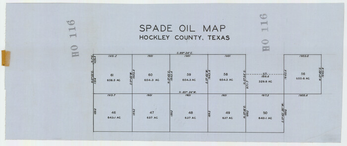
Spade Ranch Hockley County, Texas

Print $3.00
- Digital $50.00
Spade Ranch Hockley County, Texas
1948
Size 17.6 x 7.7 inches
Map/Doc 92226
[Block M-23 and vicinity]
![91148, [Block M-23 and vicinity], Twichell Survey Records](https://historictexasmaps.com/wmedia_w700/maps/91148-1.tif.jpg)
![91148, [Block M-23 and vicinity], Twichell Survey Records](https://historictexasmaps.com/wmedia_w700/maps/91148-1.tif.jpg)
Print $3.00
- Digital $50.00
[Block M-23 and vicinity]
Size 11.1 x 13.6 inches
Map/Doc 91148
[San Augustine County School Land]
![91331, [San Augustine County School Land], Twichell Survey Records](https://historictexasmaps.com/wmedia_w700/maps/91331-1.tif.jpg)
![91331, [San Augustine County School Land], Twichell Survey Records](https://historictexasmaps.com/wmedia_w700/maps/91331-1.tif.jpg)
Print $3.00
- Digital $50.00
[San Augustine County School Land]
Size 9.3 x 11.6 inches
Map/Doc 91331
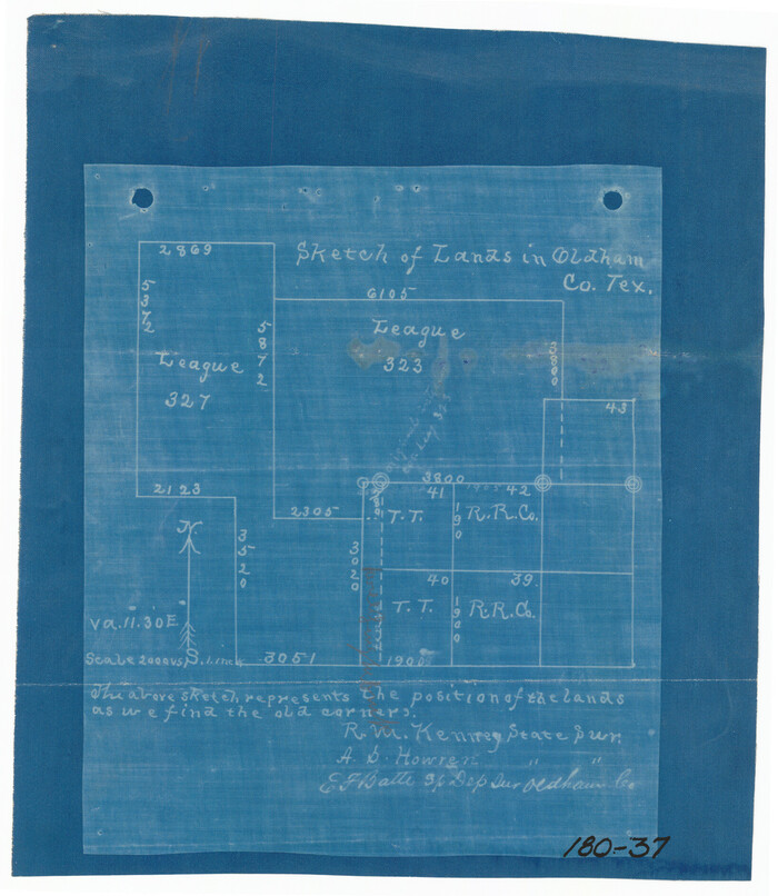
Sketch of Lands in Oldham County, Texas

Print $2.00
- Digital $50.00
Sketch of Lands in Oldham County, Texas
Size 8.1 x 9.4 inches
Map/Doc 91441
[Blocks T1, T2, T3, S3, A, O5, and Capitol Leagues in Northwest Lamb County and Southwest Castro County]
![91005, [Blocks T1, T2, T3, S3, A, O5, and Capitol Leagues in Northwest Lamb County and Southwest Castro County], Twichell Survey Records](https://historictexasmaps.com/wmedia_w700/maps/91005-1.tif.jpg)
![91005, [Blocks T1, T2, T3, S3, A, O5, and Capitol Leagues in Northwest Lamb County and Southwest Castro County], Twichell Survey Records](https://historictexasmaps.com/wmedia_w700/maps/91005-1.tif.jpg)
Print $20.00
- Digital $50.00
[Blocks T1, T2, T3, S3, A, O5, and Capitol Leagues in Northwest Lamb County and Southwest Castro County]
Size 30.3 x 34.0 inches
Map/Doc 91005
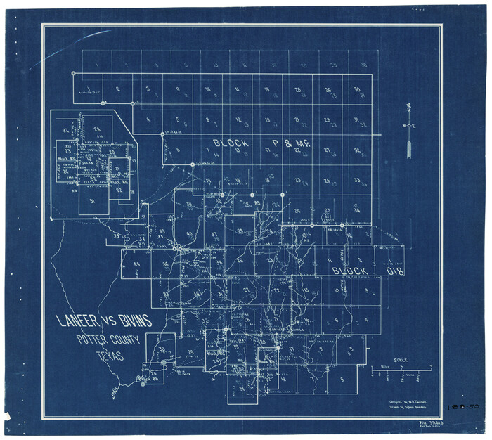
Laneer vs. Bivins, Potter County, Texas

Print $20.00
- Digital $50.00
Laneer vs. Bivins, Potter County, Texas
Size 21.1 x 18.7 inches
Map/Doc 93098
[B. S. & F. Block 9]
![91812, [B. S. & F. Block 9], Twichell Survey Records](https://historictexasmaps.com/wmedia_w700/maps/91812-1.tif.jpg)
![91812, [B. S. & F. Block 9], Twichell Survey Records](https://historictexasmaps.com/wmedia_w700/maps/91812-1.tif.jpg)
Print $20.00
- Digital $50.00
[B. S. & F. Block 9]
Size 38.0 x 18.6 inches
Map/Doc 91812
[Part of T. & N. O. RR. Co Block 2 and area around Jasper Hays survey]
![90850, [Part of T. & N. O. RR. Co Block 2 and area around Jasper Hays survey], Twichell Survey Records](https://historictexasmaps.com/wmedia_w700/maps/90850-2.tif.jpg)
![90850, [Part of T. & N. O. RR. Co Block 2 and area around Jasper Hays survey], Twichell Survey Records](https://historictexasmaps.com/wmedia_w700/maps/90850-2.tif.jpg)
Print $20.00
- Digital $50.00
[Part of T. & N. O. RR. Co Block 2 and area around Jasper Hays survey]
1907
Size 13.3 x 28.4 inches
Map/Doc 90850
[Sketch N, showing H. & G. N. Block 7, and Blocks C-1 through C-5]
![91768, [Sketch N, showing H. & G. N. Block 7, and Blocks C-1 through C-5], Twichell Survey Records](https://historictexasmaps.com/wmedia_w700/maps/91768-1.tif.jpg)
![91768, [Sketch N, showing H. & G. N. Block 7, and Blocks C-1 through C-5], Twichell Survey Records](https://historictexasmaps.com/wmedia_w700/maps/91768-1.tif.jpg)
Print $20.00
- Digital $50.00
[Sketch N, showing H. & G. N. Block 7, and Blocks C-1 through C-5]
Size 14.6 x 16.7 inches
Map/Doc 91768
You may also like
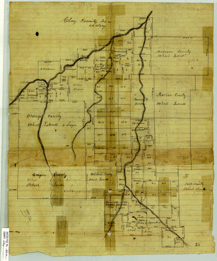
Clay County Sketch File 12a

Print $20.00
- Digital $50.00
Clay County Sketch File 12a
Size 19.7 x 16.4 inches
Map/Doc 11085
Township 8 North Range 14 West, North Western District, Louisiana


Print $20.00
- Digital $50.00
Township 8 North Range 14 West, North Western District, Louisiana
1854
Size 19.7 x 24.7 inches
Map/Doc 65874
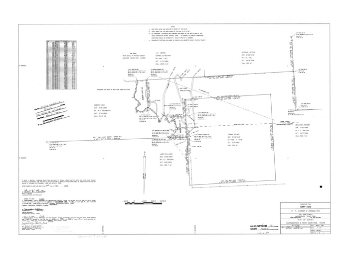
Rusk County Rolled Sketch 14

Print $20.00
- Digital $50.00
Rusk County Rolled Sketch 14
1997
Size 27.8 x 37.8 inches
Map/Doc 7549
Glasscock County Working Sketch 9


Print $40.00
- Digital $50.00
Glasscock County Working Sketch 9
1957
Size 77.9 x 25.5 inches
Map/Doc 63182
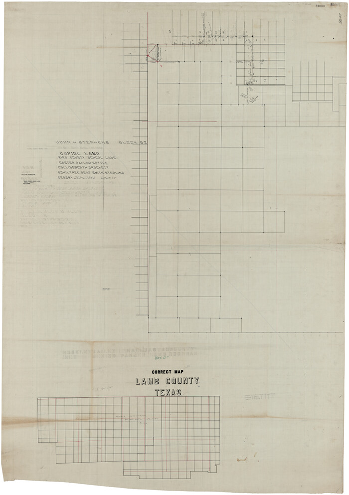
Correct Map Lamb County (skeleton sketch)

Print $40.00
- Digital $50.00
Correct Map Lamb County (skeleton sketch)
Size 56.2 x 79.4 inches
Map/Doc 93139
Liberty County Working Sketch 9


Print $20.00
- Digital $50.00
Liberty County Working Sketch 9
Size 34.6 x 27.3 inches
Map/Doc 70468
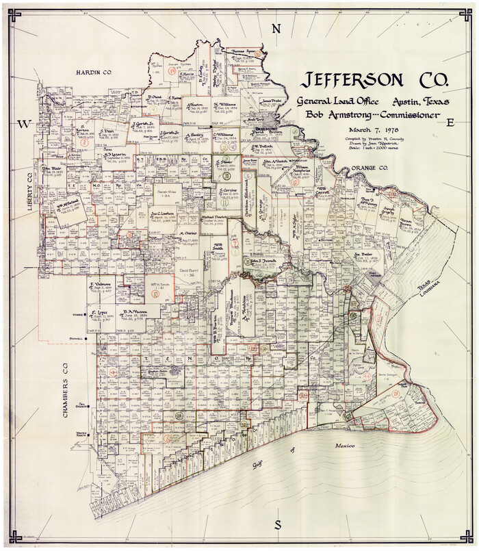
Jefferson County Working Sketch Graphic Index

Print $20.00
- Digital $50.00
Jefferson County Working Sketch Graphic Index
1978
Size 47.1 x 41.4 inches
Map/Doc 76595
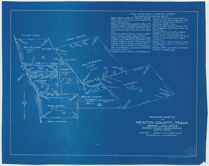
Newton County Working Sketch 10

Print $20.00
- Digital $50.00
Newton County Working Sketch 10
1941
Size 17.1 x 21.6 inches
Map/Doc 71256
[Garza, Blanco, Uvalde and Crosby County School Land]
![90250, [Garza, Blanco, Uvalde and Crosby County School Land], Twichell Survey Records](https://historictexasmaps.com/wmedia_w700/maps/90250-1.tif.jpg)
![90250, [Garza, Blanco, Uvalde and Crosby County School Land], Twichell Survey Records](https://historictexasmaps.com/wmedia_w700/maps/90250-1.tif.jpg)
Print $3.00
- Digital $50.00
[Garza, Blanco, Uvalde and Crosby County School Land]
1913
Size 14.6 x 11.8 inches
Map/Doc 90250
[Sketch of sections 33 and 34]
![91574, [Sketch of sections 33 and 34], Twichell Survey Records](https://historictexasmaps.com/wmedia_w700/maps/91574-1.tif.jpg)
![91574, [Sketch of sections 33 and 34], Twichell Survey Records](https://historictexasmaps.com/wmedia_w700/maps/91574-1.tif.jpg)
Print $2.00
- Digital $50.00
[Sketch of sections 33 and 34]
Size 5.1 x 8.8 inches
Map/Doc 91574
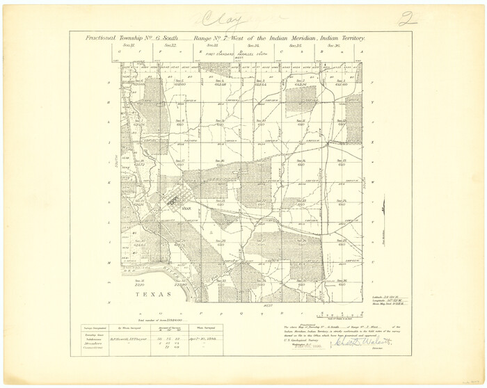
Fractional Township No. 6 South Range No. 7 West of the Indian Meridian, Indian Territory

Print $20.00
- Digital $50.00
Fractional Township No. 6 South Range No. 7 West of the Indian Meridian, Indian Territory
1898
Size 19.4 x 24.3 inches
Map/Doc 75157
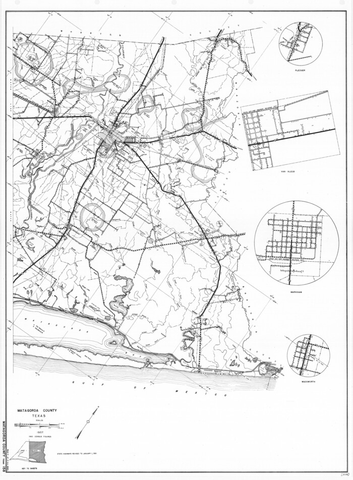
General Highway Map, Matagorda County, Texas

Print $20.00
General Highway Map, Matagorda County, Texas
1961
Size 24.7 x 18.2 inches
Map/Doc 79586
![91162, [H. & T. C. RR. Company, Block 47], Twichell Survey Records](https://historictexasmaps.com/wmedia_w1800h1800/maps/91162-1.tif.jpg)
