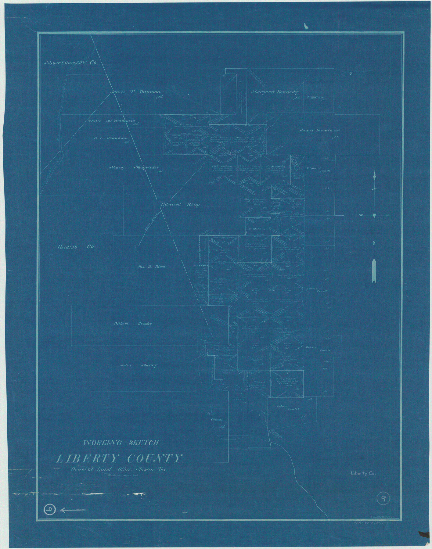
Liberty County Working Sketch 9
-
Map/Doc
70468
-
Collection
General Map Collection
-
People and Organizations
L. Ehlinger (Draftsman)
-
Counties
Liberty Montgomery Harris
-
Subjects
Surveying Working Sketch
-
Height x Width
34.6 x 27.3 inches
87.9 x 69.3 cm
-
Scale
1" = 1000 varas
Part of: General Map Collection
Houston County Working Sketch 36

Print $40.00
- Digital $50.00
Houston County Working Sketch 36
1987
Size 61.2 x 43.6 inches
Map/Doc 78231
Dallas County Sketch File 5

Print $18.00
- Digital $50.00
Dallas County Sketch File 5
1858
Size 10.5 x 8.4 inches
Map/Doc 20400
Flight Mission No. BRE-2P, Frame 69, Nueces County

Print $20.00
- Digital $50.00
Flight Mission No. BRE-2P, Frame 69, Nueces County
1956
Size 18.6 x 22.5 inches
Map/Doc 86764
[Surveys along the Leon River]
![20, [Surveys along the Leon River], General Map Collection](https://historictexasmaps.com/wmedia_w700/maps/20-1.tif.jpg)
Print $20.00
- Digital $50.00
[Surveys along the Leon River]
1840
Size 20.3 x 6.6 inches
Map/Doc 20
Marion County Sketch File 13

Print $24.00
- Digital $50.00
Marion County Sketch File 13
1912
Size 11.3 x 8.7 inches
Map/Doc 30583
Pecos County Sketch File 32

Print $20.00
- Digital $50.00
Pecos County Sketch File 32
1934
Size 23.2 x 24.3 inches
Map/Doc 12175
Foard County Sketch File 38

Print $11.00
- Digital $50.00
Foard County Sketch File 38
1890
Size 11.1 x 7.2 inches
Map/Doc 22871
Controlled Mosaic by Jack Amman Photogrammetric Engineers, Inc - Sheet 28

Print $20.00
- Digital $50.00
Controlled Mosaic by Jack Amman Photogrammetric Engineers, Inc - Sheet 28
1954
Size 21.1 x 24.1 inches
Map/Doc 83480
Pecos County Rolled Sketch 124

Print $20.00
- Digital $50.00
Pecos County Rolled Sketch 124
Size 22.8 x 18.8 inches
Map/Doc 7265
Cameron County Rolled Sketch 26

Print $20.00
- Digital $50.00
Cameron County Rolled Sketch 26
1960
Size 18.0 x 24.4 inches
Map/Doc 5391
Presidio County Boundary File 2

Print $8.00
- Digital $50.00
Presidio County Boundary File 2
Size 14.0 x 8.6 inches
Map/Doc 58054
Medina County Rolled Sketch 8

Print $20.00
- Digital $50.00
Medina County Rolled Sketch 8
1975
Size 24.8 x 25.5 inches
Map/Doc 6742
You may also like
Travis County

Print $40.00
- Digital $50.00
Travis County
1936
Size 47.0 x 53.7 inches
Map/Doc 73305
Zapata County Working Sketch 9

Print $20.00
- Digital $50.00
Zapata County Working Sketch 9
1951
Size 34.9 x 18.1 inches
Map/Doc 62060
Map of Concho County, Texas

Print $20.00
- Digital $50.00
Map of Concho County, Texas
1879
Size 28.8 x 23.9 inches
Map/Doc 703
Bell County, Milam District

Print $20.00
- Digital $50.00
Bell County, Milam District
1877
Size 23.5 x 28.6 inches
Map/Doc 3293

[Surveys in Austin's Colony along the Navasota River and Ten Mile Creek]
![80, [Surveys in Austin's Colony along the Navasota River and Ten Mile Creek], General Map Collection](https://historictexasmaps.com/wmedia_w700/maps/80.tif.jpg)
Print $20.00
- Digital $50.00
[Surveys in Austin's Colony along the Navasota River and Ten Mile Creek]
1821
Size 29.2 x 18.0 inches
Map/Doc 80
Provincias internas del reyno de Nuevo España

Print $20.00
Provincias internas del reyno de Nuevo España
1846
Size 30.7 x 23.6 inches
Map/Doc 93578
Freestone County Rolled Sketch 13B

Print $20.00
- Digital $50.00
Freestone County Rolled Sketch 13B
1989
Size 25.2 x 20.5 inches
Map/Doc 5915
Map of the County and City of Galveston, Texas

Print $20.00
Map of the County and City of Galveston, Texas
1891
Size 24.5 x 34.4 inches
Map/Doc 79290
Rail Oddities - Odd and Interesting Facts about the Railroads

Rail Oddities - Odd and Interesting Facts about the Railroads
1954
Size 9.1 x 6.1 inches
Map/Doc 96597
Flight Mission No. DQO-8K, Frame 46, Galveston County

Print $20.00
- Digital $50.00
Flight Mission No. DQO-8K, Frame 46, Galveston County
1952
Size 18.7 x 22.4 inches
Map/Doc 85153
Official map of Dallas County, Texas

Print $20.00
Official map of Dallas County, Texas
1886
Size 22.7 x 17.3 inches
Map/Doc 93592