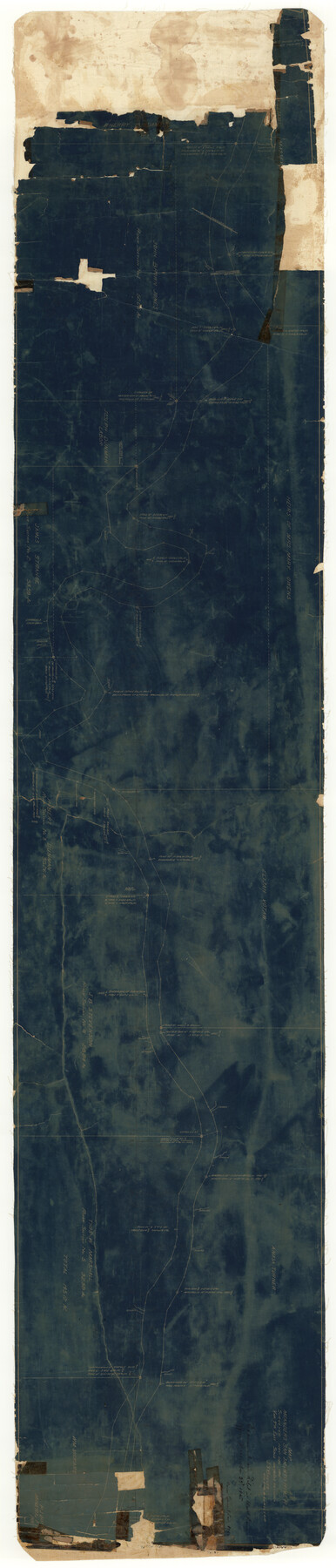
Harris County Rolled Sketch R
Map [of the] meanders [of the] San Jacinto River
-
Map/Doc
9114
-
Collection
General Map Collection
-
Object Dates
1915 (Creation Date)
1915/12/23 (File Date)
-
People and Organizations
J.S. Boyles (Surveyor/Engineer)
-
Counties
Harris
-
Subjects
Surveying Rolled Sketch
-
Height x Width
93.5 x 20.1 inches
237.5 x 51.1 cm
-
Medium
blueprint/diazo
-
Scale
1" = 100 varas
-
Comments
See Harris County Sketch File 98 (25653) for letter and DMD sheet.
Related maps
Harris County Sketch File 98

Print $50.00
- Digital $50.00
Harris County Sketch File 98
Size 11.2 x 9.1 inches
Map/Doc 25653
Part of: General Map Collection
Gray County Sketch File B2

Print $20.00
- Digital $50.00
Gray County Sketch File B2
Size 22.8 x 17.3 inches
Map/Doc 11579
Tarrant County Working Sketch 4

Print $20.00
- Digital $50.00
Tarrant County Working Sketch 4
1952
Size 20.6 x 19.7 inches
Map/Doc 62421
South Part of Brewster Co.

Print $40.00
- Digital $50.00
South Part of Brewster Co.
1955
Size 49.3 x 41.3 inches
Map/Doc 66735

Colorado County Sketch File 30

Print $14.00
- Digital $50.00
Colorado County Sketch File 30
1943
Size 14.1 x 8.6 inches
Map/Doc 18977
Panola County Sketch File 13

Print $4.00
- Digital $50.00
Panola County Sketch File 13
1850
Size 14.1 x 7.8 inches
Map/Doc 33470
Hudspeth County Working Sketch 31

Print $40.00
- Digital $50.00
Hudspeth County Working Sketch 31
1972
Size 56.6 x 38.9 inches
Map/Doc 66315
Bosque County Sketch File 30b

Print $8.00
- Digital $50.00
Bosque County Sketch File 30b
1854
Size 12.7 x 8.1 inches
Map/Doc 14826
North Part of El Paso Co.

Print $20.00
- Digital $50.00
North Part of El Paso Co.
1977
Size 30.5 x 40.5 inches
Map/Doc 77273
Map of the Harlem State Farm and the Central State Farm, Fort Bend County, Texas

Print $20.00
- Digital $50.00
Map of the Harlem State Farm and the Central State Farm, Fort Bend County, Texas
Size 35.7 x 32.1 inches
Map/Doc 62995
Travis County Sketch File 55

Print $20.00
- Digital $50.00
Travis County Sketch File 55
1945
Size 27.3 x 14.5 inches
Map/Doc 12471
Ector County Working Sketch 2

Print $20.00
- Digital $50.00
Ector County Working Sketch 2
1930
Size 33.1 x 38.2 inches
Map/Doc 68845
You may also like
Crockett County, Texas

Print $20.00
- Digital $50.00
Crockett County, Texas
Size 39.8 x 30.8 inches
Map/Doc 92547
Panola County Working Sketch 38

Print $20.00
- Digital $50.00
Panola County Working Sketch 38
1991
Map/Doc 71447
Rio Grande, Hackney Lake Sheet

Print $4.00
- Digital $50.00
Rio Grande, Hackney Lake Sheet
1931
Size 16.6 x 26.8 inches
Map/Doc 65123
Panola County Working Sketch 31

Print $20.00
- Digital $50.00
Panola County Working Sketch 31
1981
Map/Doc 71440
Flight Mission No. DQN-6K, Frame 6, Calhoun County

Print $20.00
- Digital $50.00
Flight Mission No. DQN-6K, Frame 6, Calhoun County
1953
Size 18.5 x 22.2 inches
Map/Doc 84428
Jeff Davis County Working Sketch 35

Print $20.00
- Digital $50.00
Jeff Davis County Working Sketch 35
1979
Size 34.4 x 36.9 inches
Map/Doc 66530
Taylor County Rolled Sketch 21

Print $20.00
- Digital $50.00
Taylor County Rolled Sketch 21
Size 31.5 x 40.5 inches
Map/Doc 9985

Pecos County Sketch File 94

Print $20.00
- Digital $50.00
Pecos County Sketch File 94
1956
Size 25.8 x 17.3 inches
Map/Doc 12185
Mexico and Internal Provinces

Print $20.00
- Digital $50.00
Mexico and Internal Provinces
1829
Size 13.6 x 15.3 inches
Map/Doc 96971
Val Verde County Working Sketch 15

Print $20.00
- Digital $50.00
Val Verde County Working Sketch 15
1926
Size 35.3 x 25.0 inches
Map/Doc 72150
Harris County Working Sketch 17

Print $20.00
- Digital $50.00
Harris County Working Sketch 17
1919
Size 40.0 x 41.6 inches
Map/Doc 65909