[H. & G. N. RR. Co. Block 1]
63-21
-
Map/Doc
90890
-
Collection
Twichell Survey Records
-
Counties
Dickens Kent
-
Height x Width
17.1 x 28.0 inches
43.4 x 71.1 cm
Part of: Twichell Survey Records
[Heirs of Jno. Breeding and surrounding surveys]
![90494, [Heirs of Jno. Breeding and surrounding surveys], Twichell Survey Records](https://historictexasmaps.com/wmedia_w700/maps/90494-1.tif.jpg)
![90494, [Heirs of Jno. Breeding and surrounding surveys], Twichell Survey Records](https://historictexasmaps.com/wmedia_w700/maps/90494-1.tif.jpg)
Print $3.00
- Digital $50.00
[Heirs of Jno. Breeding and surrounding surveys]
Size 10.5 x 16.1 inches
Map/Doc 90494
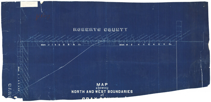
Map Showing North and West Boundaries of Gray County

Print $20.00
- Digital $50.00
Map Showing North and West Boundaries of Gray County
Size 39.7 x 19.0 inches
Map/Doc 90709
[Survey 9, Block 9 Potter and Randall]
![91721, [Survey 9, Block 9 Potter and Randall], Twichell Survey Records](https://historictexasmaps.com/wmedia_w700/maps/91721-1.tif.jpg)
![91721, [Survey 9, Block 9 Potter and Randall], Twichell Survey Records](https://historictexasmaps.com/wmedia_w700/maps/91721-1.tif.jpg)
Print $20.00
- Digital $50.00
[Survey 9, Block 9 Potter and Randall]
Size 22.1 x 15.9 inches
Map/Doc 91721
[Township 3 North, Block 34]
![91208, [Township 3 North, Block 34], Twichell Survey Records](https://historictexasmaps.com/wmedia_w700/maps/91208-1.tif.jpg)
![91208, [Township 3 North, Block 34], Twichell Survey Records](https://historictexasmaps.com/wmedia_w700/maps/91208-1.tif.jpg)
Print $3.00
- Digital $50.00
[Township 3 North, Block 34]
Size 10.2 x 14.0 inches
Map/Doc 91208
Hutchinson County


Print $20.00
- Digital $50.00
Hutchinson County
1922
Size 14.6 x 17.6 inches
Map/Doc 91183
Block M6 in Castro, Swisher, and Randall Co's, Tex.


Print $20.00
- Digital $50.00
Block M6 in Castro, Swisher, and Randall Co's, Tex.
Size 13.8 x 17.2 inches
Map/Doc 90397
[Surveys in the vicinity of Falls County School Land]
![90168, [Surveys in the vicinity of Falls County School Land], Twichell Survey Records](https://historictexasmaps.com/wmedia_w700/maps/90168-1.tif.jpg)
![90168, [Surveys in the vicinity of Falls County School Land], Twichell Survey Records](https://historictexasmaps.com/wmedia_w700/maps/90168-1.tif.jpg)
Print $20.00
- Digital $50.00
[Surveys in the vicinity of Falls County School Land]
Size 32.5 x 37.1 inches
Map/Doc 90168
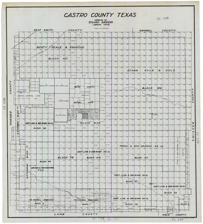
Castro County Texas

Print $20.00
- Digital $50.00
Castro County Texas
Size 34.0 x 37.5 inches
Map/Doc 92618
[T.& P.R.R.Co., Block 1]
![92963, [T.& P.R.R.Co., Block 1], Twichell Survey Records](https://historictexasmaps.com/wmedia_w700/maps/92963-1.tif.jpg)
![92963, [T.& P.R.R.Co., Block 1], Twichell Survey Records](https://historictexasmaps.com/wmedia_w700/maps/92963-1.tif.jpg)
Print $20.00
- Digital $50.00
[T.& P.R.R.Co., Block 1]
Size 37.5 x 31.6 inches
Map/Doc 92963
[Block J and vicinity]
![89949, [Block J and vicinity], Twichell Survey Records](https://historictexasmaps.com/wmedia_w700/maps/89949-1.tif.jpg)
![89949, [Block J and vicinity], Twichell Survey Records](https://historictexasmaps.com/wmedia_w700/maps/89949-1.tif.jpg)
Print $40.00
- Digital $50.00
[Block J and vicinity]
Size 53.3 x 36.9 inches
Map/Doc 89949
You may also like
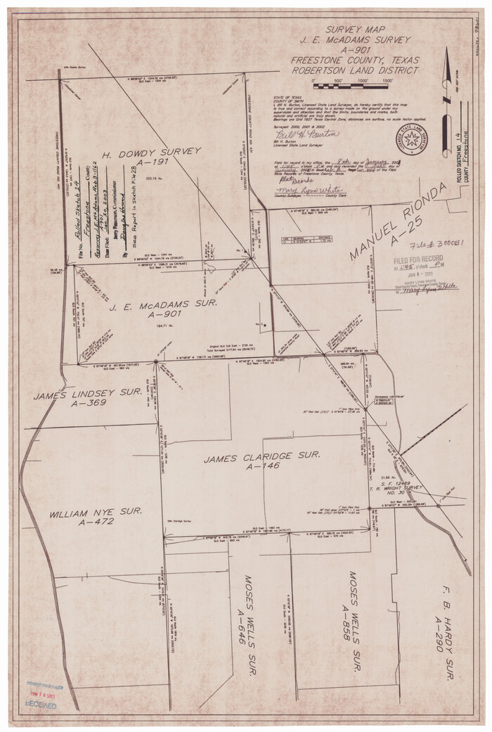
Freestone County Rolled Sketch 14

Print $20.00
- Digital $50.00
Freestone County Rolled Sketch 14
Size 29.4 x 19.8 inches
Map/Doc 78601
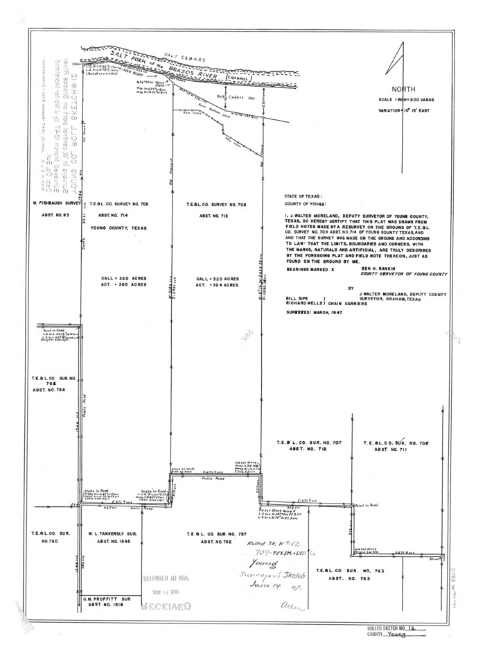
Young County Rolled Sketch 12

Print $20.00
- Digital $50.00
Young County Rolled Sketch 12
Size 24.2 x 17.9 inches
Map/Doc 8300
Presidio County Working Sketch 49


Print $20.00
- Digital $50.00
Presidio County Working Sketch 49
1951
Size 34.5 x 47.0 inches
Map/Doc 71726
Maps & Lists Showing Prison Lands (Oil & Gas) Leased as of June 1955


Print $2.00
- Digital $50.00
Maps & Lists Showing Prison Lands (Oil & Gas) Leased as of June 1955
1955
Size 11.2 x 8.8 inches
Map/Doc 62863
[Galveston, Harrisburg & San Antonio from El Paso-Presidio county boundary to Presidio-Pecos county boundary]
![64718, [Galveston, Harrisburg & San Antonio from El Paso-Presidio county boundary to Presidio-Pecos county boundary], General Map Collection](https://historictexasmaps.com/wmedia_w700/maps/64718.tif.jpg)
![64718, [Galveston, Harrisburg & San Antonio from El Paso-Presidio county boundary to Presidio-Pecos county boundary], General Map Collection](https://historictexasmaps.com/wmedia_w700/maps/64718.tif.jpg)
Print $40.00
- Digital $50.00
[Galveston, Harrisburg & San Antonio from El Paso-Presidio county boundary to Presidio-Pecos county boundary]
Size 106.1 x 44.3 inches
Map/Doc 64718
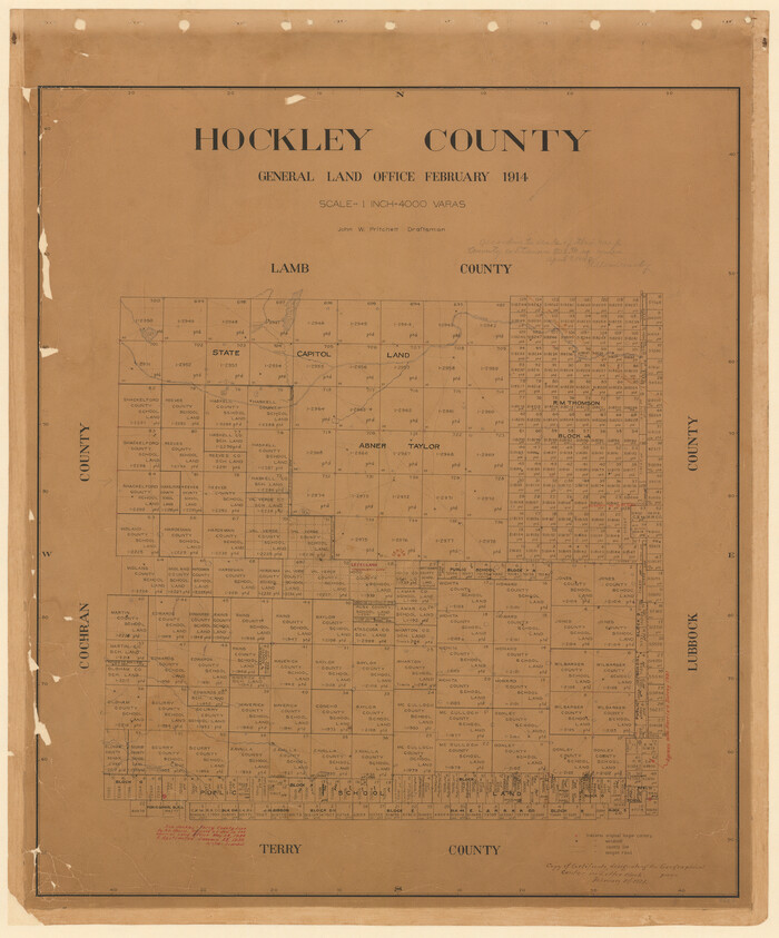
Hockley County

Print $20.00
- Digital $50.00
Hockley County
1914
Size 27.4 x 22.8 inches
Map/Doc 4686
Bastrop County Rolled Sketch 4


Print $40.00
- Digital $50.00
Bastrop County Rolled Sketch 4
1999
Size 130.2 x 30.8 inches
Map/Doc 8443
Houston County


Print $20.00
- Digital $50.00
Houston County
1877
Size 25.9 x 26.2 inches
Map/Doc 3684
Navarro County Rolled Sketch 7


Print $20.00
- Digital $50.00
Navarro County Rolled Sketch 7
Size 45.0 x 34.6 inches
Map/Doc 10308
Willacy County Working Sketch Graphic Index


Print $20.00
- Digital $50.00
Willacy County Working Sketch Graphic Index
1921
Size 32.8 x 32.7 inches
Map/Doc 76741
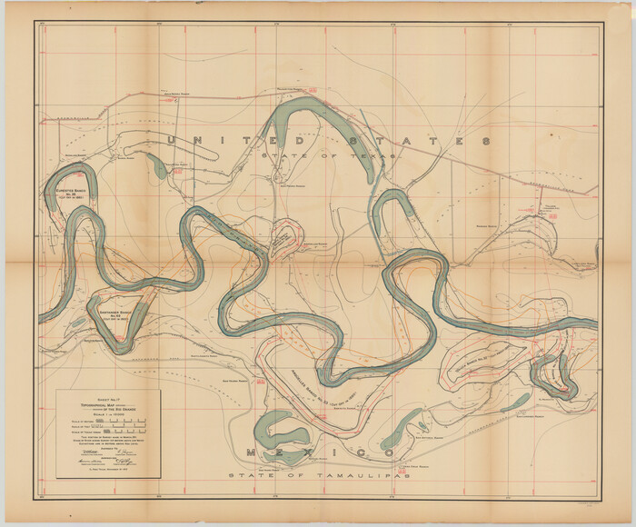
Topographical Map of the Rio Grande, Sheet No. 17

Print $20.00
- Digital $50.00
Topographical Map of the Rio Grande, Sheet No. 17
1912
Map/Doc 89541
Nueces River, Corpus Christi Sheet No. 4


Print $20.00
- Digital $50.00
Nueces River, Corpus Christi Sheet No. 4
1938
Size 32.3 x 42.8 inches
Map/Doc 65092
![90890, [H. & G. N. RR. Co. Block 1], Twichell Survey Records](https://historictexasmaps.com/wmedia_w1800h1800/maps/90890-1.tif.jpg)
![89832, [Yates Area], Twichell Survey Records](https://historictexasmaps.com/wmedia_w700/maps/89832-1.tif.jpg)
