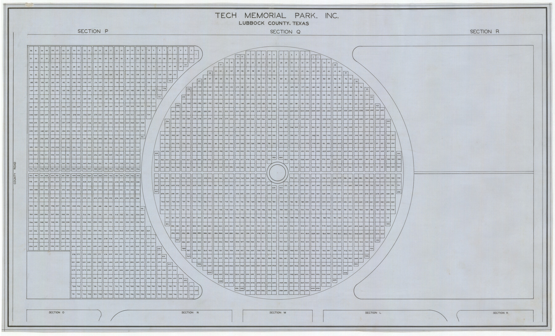
Tech Memorial Park, Inc. Section Q
-
Map/Doc
92357
-
Collection
Twichell Survey Records
-
Counties
Lubbock
-
Height x Width
34.8 x 21.2 inches
88.4 x 53.9 cm
Part of: Twichell Survey Records
[Gunter & Munson, Maddox Bros. & Anderson Blocks F and A and blocks south]
![91850, [Gunter & Munson, Maddox Bros. & Anderson Blocks F and A and blocks south], Twichell Survey Records](https://historictexasmaps.com/wmedia_w700/maps/91850-1.tif.jpg)
Print $20.00
- Digital $50.00
[Gunter & Munson, Maddox Bros. & Anderson Blocks F and A and blocks south]
Size 18.3 x 19.8 inches
Map/Doc 91850
[Blocks C, M and B, north of Morris County School Land]
![90493, [Blocks C, M and B, north of Morris County School Land], Twichell Survey Records](https://historictexasmaps.com/wmedia_w700/maps/90493-1.tif.jpg)
Print $20.00
- Digital $50.00
[Blocks C, M and B, north of Morris County School Land]
Size 21.0 x 14.2 inches
Map/Doc 90493
[Block M21, B. S. & F. Block 3, I. & G. N. Block 4, and Part of Block 46]
![91178, [Block M21, B. S. & F. Block 3, I. & G. N. Block 4, and Part of Block 46], Twichell Survey Records](https://historictexasmaps.com/wmedia_w700/maps/91178-1.tif.jpg)
Print $20.00
- Digital $50.00
[Block M21, B. S. & F. Block 3, I. & G. N. Block 4, and Part of Block 46]
Size 19.6 x 17.9 inches
Map/Doc 91178
[Worksheets related to the Wilson Strickland survey and vicinity]
![91281, [Worksheets related to the Wilson Strickland survey and vicinity], Twichell Survey Records](https://historictexasmaps.com/wmedia_w700/maps/91281-1.tif.jpg)
Print $20.00
- Digital $50.00
[Worksheets related to the Wilson Strickland survey and vicinity]
Size 22.6 x 10.2 inches
Map/Doc 91281
[Blocks C-3, A-2, 29, GG and I]
![91612, [Blocks C-3, A-2, 29, GG and I], Twichell Survey Records](https://historictexasmaps.com/wmedia_w700/maps/91612-1.tif.jpg)
Print $20.00
- Digital $50.00
[Blocks C-3, A-2, 29, GG and I]
Size 26.0 x 18.8 inches
Map/Doc 91612
Rhyne Simpson Addition No. 2, City of Lubbock Section 3, Block O

Print $20.00
- Digital $50.00
Rhyne Simpson Addition No. 2, City of Lubbock Section 3, Block O
1957
Size 11.7 x 18.2 inches
Map/Doc 92752
Subdivision Map of Floyd County School Land Situated in Bailey County, Texas

Print $20.00
- Digital $50.00
Subdivision Map of Floyd County School Land Situated in Bailey County, Texas
Size 20.5 x 25.1 inches
Map/Doc 92530
Map of Independence Area, Washington County, Texas

Print $20.00
- Digital $50.00
Map of Independence Area, Washington County, Texas
1935
Size 24.0 x 19.1 inches
Map/Doc 91989
Sketch, Val Verde County, Part of Blk. D-7 E. L. & R. R. Ry., Survey for Mrs. Geo. Baker, P. Bradford et. al.

Print $20.00
- Digital $50.00
Sketch, Val Verde County, Part of Blk. D-7 E. L. & R. R. Ry., Survey for Mrs. Geo. Baker, P. Bradford et. al.
1937
Size 18.2 x 16.2 inches
Map/Doc 91873
[PSL Block B-19]
![89811, [PSL Block B-19], Twichell Survey Records](https://historictexasmaps.com/wmedia_w700/maps/89811-1.tif.jpg)
Print $40.00
- Digital $50.00
[PSL Block B-19]
Size 43.7 x 56.6 inches
Map/Doc 89811
Working Sketch in Archer County

Print $20.00
- Digital $50.00
Working Sketch in Archer County
1921
Size 15.9 x 19.8 inches
Map/Doc 90169
Southwest Part of Anton Chico Grant Guadalupe County, New Mexico

Print $20.00
- Digital $50.00
Southwest Part of Anton Chico Grant Guadalupe County, New Mexico
Size 23.8 x 28.6 inches
Map/Doc 92435
You may also like
Taylor County Sketch File 3

Print $4.00
- Digital $50.00
Taylor County Sketch File 3
Size 7.5 x 8.3 inches
Map/Doc 37778
Flight Mission No. BRE-1P, Frame 150, Nueces County

Print $20.00
- Digital $50.00
Flight Mission No. BRE-1P, Frame 150, Nueces County
1956
Size 18.6 x 22.1 inches
Map/Doc 86710
Galveston County NRC Article 33.136 Sketch 83

Print $52.00
- Digital $50.00
Galveston County NRC Article 33.136 Sketch 83
2016
Size 22.5 x 34.0 inches
Map/Doc 94968
Live Oak County Working Sketch 37

Print $40.00
- Digital $50.00
Live Oak County Working Sketch 37
2012
Size 34.4 x 48.7 inches
Map/Doc 93363
[Surveys in Austin's Colony along Buffalo Bayou and the San Jacinto River]
![51, [Surveys in Austin's Colony along Buffalo Bayou and the San Jacinto River], General Map Collection](https://historictexasmaps.com/wmedia_w700/maps/51.tif.jpg)
Print $20.00
- Digital $50.00
[Surveys in Austin's Colony along Buffalo Bayou and the San Jacinto River]
1824
Size 23.7 x 17.6 inches
Map/Doc 51

Potter County

Print $20.00
- Digital $50.00
Potter County
1909
Size 47.5 x 40.8 inches
Map/Doc 66984
Flight Mission No. DQO-8K, Frame 63, Galveston County

Print $20.00
- Digital $50.00
Flight Mission No. DQO-8K, Frame 63, Galveston County
1952
Size 18.6 x 22.3 inches
Map/Doc 85167
Texas Takes Shape: A History in Maps from the General Land Office

Price $48.71
Texas Takes Shape: A History in Maps from the General Land Office
Map/Doc 97432
Kinney County Sketch File 37

Print $20.00
- Digital $50.00
Kinney County Sketch File 37
Size 19.0 x 23.4 inches
Map/Doc 11950
Flight Mission No. DQN-6K, Frame 91, Calhoun County

Print $20.00
- Digital $50.00
Flight Mission No. DQN-6K, Frame 91, Calhoun County
1953
Size 18.5 x 22.2 inches
Map/Doc 84451
Flight Mission No. CGI-3N, Frame 164, Cameron County

Print $20.00
- Digital $50.00
Flight Mission No. CGI-3N, Frame 164, Cameron County
1954
Size 18.5 x 22.2 inches
Map/Doc 84628