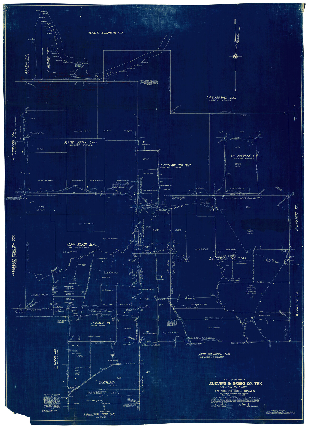
Gregg County Rolled Sketch 19
Actual survey map of surveys in Gregg Co., Tex.
-
Map/Doc
9069
-
Collection
General Map Collection
-
Object Dates
1932 (Creation Date)
-
People and Organizations
Geo. F. Ballard (Surveyor/Engineer)
C.F. Ballard (Surveyor/Engineer)
-
Counties
Gregg
-
Subjects
Surveying Rolled Sketch
-
Height x Width
50.3 x 36.3 inches
127.8 x 92.2 cm
-
Medium
multi-page, multi-format
-
Scale
1" = 400 feet
Part of: General Map Collection
Young County Boundary File 98a

Print $32.00
- Digital $50.00
Young County Boundary File 98a
Size 10.2 x 8.0 inches
Map/Doc 60211
Hopkins County

Print $20.00
- Digital $50.00
Hopkins County
1942
Size 43.6 x 41.6 inches
Map/Doc 1858
Engineer's Office, Department of the Gulf Map No. 59, Texas prepared by order of Maj. Gen. N. P. Banks under direction of Capt. P. C. Hains, U. S. Engr. & Chief Engr., Dept. of the Gulf

Print $20.00
- Digital $50.00
Engineer's Office, Department of the Gulf Map No. 59, Texas prepared by order of Maj. Gen. N. P. Banks under direction of Capt. P. C. Hains, U. S. Engr. & Chief Engr., Dept. of the Gulf
1865
Size 18.3 x 27.6 inches
Map/Doc 72717
Matagorda County Sketch File 4

Print $4.00
- Digital $50.00
Matagorda County Sketch File 4
1876
Size 7.9 x 12.8 inches
Map/Doc 30734
Eastland County Working Sketch 27

Print $20.00
- Digital $50.00
Eastland County Working Sketch 27
1952
Size 25.2 x 21.4 inches
Map/Doc 68808
Routes to HemisFair '68 : World's Fair, San Antonio, Texas, April 6 through Oct. 6, 1968 [Recto]
![94168, Hemisfair Gulf Tourgide Map [Recto], General Map Collection](https://historictexasmaps.com/wmedia_w700/maps/94168.tif.jpg)
Routes to HemisFair '68 : World's Fair, San Antonio, Texas, April 6 through Oct. 6, 1968 [Recto]
Size 18.2 x 24.2 inches
Map/Doc 94168

Map of Galveston, Turtle & East Bays & portion of the Gulf of Mexico in Chambers & Galveston Counties, Texas showing subdivision therof for mineral development

Print $20.00
- Digital $50.00
Map of Galveston, Turtle & East Bays & portion of the Gulf of Mexico in Chambers & Galveston Counties, Texas showing subdivision therof for mineral development
1935
Size 40.7 x 47.7 inches
Map/Doc 2939
Intracoastal Waterway in Texas - Corpus Christi to Point Isabel including Arroyo Colorado to Mo. Pac. R.R. Bridge Near Harlingen

Print $20.00
- Digital $50.00
Intracoastal Waterway in Texas - Corpus Christi to Point Isabel including Arroyo Colorado to Mo. Pac. R.R. Bridge Near Harlingen
1933
Size 27.9 x 40.9 inches
Map/Doc 61865
Hispaniae Novae Sivae Magnae Recens et Vera Descriptio 1579

Print $20.00
- Digital $50.00
Hispaniae Novae Sivae Magnae Recens et Vera Descriptio 1579
1581
Size 17.9 x 23.0 inches
Map/Doc 94036
Terry County Sketch File 5

Print $40.00
- Digital $50.00
Terry County Sketch File 5
1916
Size 15.6 x 58.6 inches
Map/Doc 10391
Flight Mission No. BRA-7M, Frame 16, Jefferson County

Print $20.00
- Digital $50.00
Flight Mission No. BRA-7M, Frame 16, Jefferson County
1953
Size 18.5 x 22.2 inches
Map/Doc 85467
You may also like
Maps & Lists Showing Prison Lands (Oil & Gas) Leased as of June 1955

Digital $50.00
Maps & Lists Showing Prison Lands (Oil & Gas) Leased as of June 1955
Size 8.7 x 11.2 inches
Map/Doc 62869
Hockley County Sketch Mineral Application Number 39180

Print $20.00
- Digital $50.00
Hockley County Sketch Mineral Application Number 39180
1947
Size 16.1 x 20.1 inches
Map/Doc 92246

Runnels County Sketch File 3

Print $4.00
Runnels County Sketch File 3
1871
Size 13.0 x 8.1 inches
Map/Doc 35432
Lipscomb County Boundary File 8

Print $4.00
- Digital $50.00
Lipscomb County Boundary File 8
Size 11.1 x 8.6 inches
Map/Doc 56333
[Sketch of PSL Blocks A20, A35, A44, A45]
![89739, [Sketch of PSL Blocks A20, A35, A44, A45], Twichell Survey Records](https://historictexasmaps.com/wmedia_w700/maps/89739-1.tif.jpg)
Print $40.00
- Digital $50.00
[Sketch of PSL Blocks A20, A35, A44, A45]
Size 22.7 x 66.9 inches
Map/Doc 89739
Clay County Working Sketch 7

Print $20.00
- Digital $50.00
Clay County Working Sketch 7
Size 17.5 x 14.7 inches
Map/Doc 68030
Trinity River, Cox Bluff Sheet

Print $20.00
- Digital $50.00
Trinity River, Cox Bluff Sheet
1926
Size 36.0 x 46.2 inches
Map/Doc 65214
![91359, [League 321], Twichell Survey Records](https://historictexasmaps.com/wmedia_w700/maps/91359-1.tif.jpg)
Colorado County Rolled Sketch 7

Print $20.00
- Digital $50.00
Colorado County Rolled Sketch 7
1997
Size 26.2 x 19.1 inches
Map/Doc 5534
Cochran County Rolled Sketch 6

Print $20.00
- Digital $50.00
Cochran County Rolled Sketch 6
2025
Size 20.5 x 28.2 inches
Map/Doc 97417
Titus County Sketch File 4

Print $4.00
- Digital $50.00
Titus County Sketch File 4
Size 8.2 x 10.2 inches
Map/Doc 38136