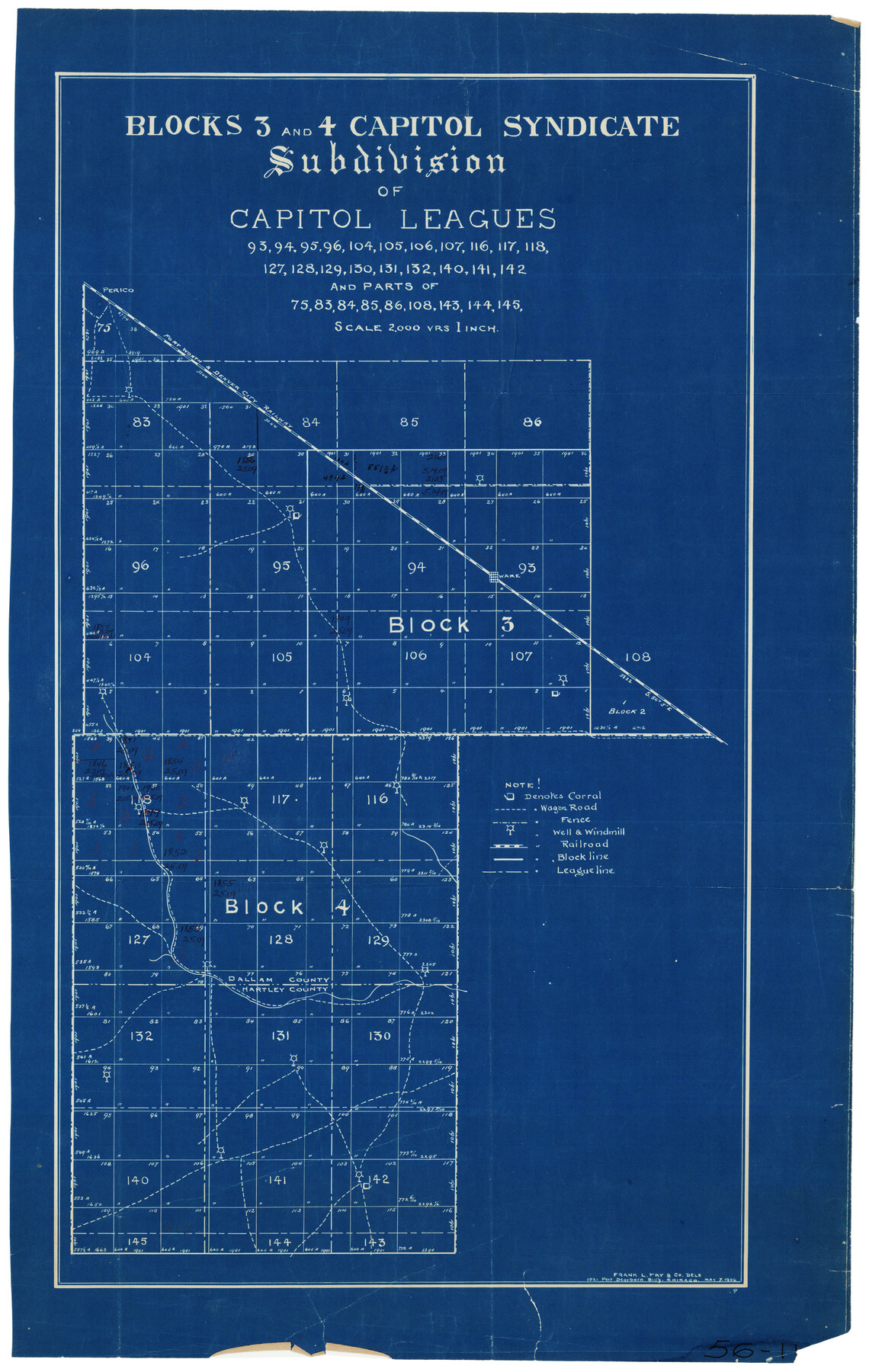
Blocks 3 and 4 Capitol Syndicate Subdivision of Capitol Leagues
56-11
-
Map/Doc
90581
-
Collection
Twichell Survey Records
-
Object Dates
5/7/1906 (Creation Date)
-
Counties
Dallam
-
Height x Width
17.5 x 27.4 inches
44.5 x 69.6 cm
-
Comments
Covers Leagues: 93, 94, 95, 96, 104, 105, 106, 107, 116, 117, 118, 127, 128, 129, 130, 131, 132, 140, 141, 142 and parts of 75, 83, 84, 85, 86, 108, 143, 144, 145
Part of: Twichell Survey Records
Sheet 3 copied from Peck Book 6 [Strip Map showing T. & P. connecting lines]
![93173, Sheet 3 copied from Peck Book 6 [Strip Map showing T. & P. connecting lines], Twichell Survey Records](https://historictexasmaps.com/wmedia_w700/maps/93173-1.tif.jpg)
Print $40.00
- Digital $50.00
Sheet 3 copied from Peck Book 6 [Strip Map showing T. & P. connecting lines]
1909
Size 7.2 x 72.5 inches
Map/Doc 93173
Lakeview Addition to the City of Shallowater out of the Southeast 1/4 of Section 27, Block D5

Print $3.00
- Digital $50.00
Lakeview Addition to the City of Shallowater out of the Southeast 1/4 of Section 27, Block D5
1955
Size 17.9 x 11.6 inches
Map/Doc 92870
[Township 3 North, Block 32]
![91218, [Township 3 North, Block 32], Twichell Survey Records](https://historictexasmaps.com/wmedia_w700/maps/91218-1.tif.jpg)
Print $20.00
- Digital $50.00
[Township 3 North, Block 32]
Size 14.4 x 17.8 inches
Map/Doc 91218
Mrs. W. H. Bledsoe Farm NE 100.2 Acres of Section 37, Block AK

Print $2.00
- Digital $50.00
Mrs. W. H. Bledsoe Farm NE 100.2 Acres of Section 37, Block AK
Size 10.6 x 9.2 inches
Map/Doc 92283
[Sketch showing Blocks C-11, C-13, C-14, C-16, C-10]
![93123, [Sketch showing Blocks C-11, C-13, C-14, C-16, C-10], Twichell Survey Records](https://historictexasmaps.com/wmedia_w700/maps/93123-1.tif.jpg)
Print $40.00
- Digital $50.00
[Sketch showing Blocks C-11, C-13, C-14, C-16, C-10]
Size 69.9 x 22.5 inches
Map/Doc 93123
[S. Abercrom and surrounding surveys]
![91016, [S. Abercrom and surrounding surveys], Twichell Survey Records](https://historictexasmaps.com/wmedia_w700/maps/91016-1.tif.jpg)
Print $20.00
- Digital $50.00
[S. Abercrom and surrounding surveys]
Size 27.7 x 21.7 inches
Map/Doc 91016
[Capitol Leagues 217-228, 238, and vicinity]
![90672, [Capitol Leagues 217-228, 238, and vicinity], Twichell Survey Records](https://historictexasmaps.com/wmedia_w700/maps/90672-1.tif.jpg)
Print $20.00
- Digital $50.00
[Capitol Leagues 217-228, 238, and vicinity]
Size 23.0 x 9.9 inches
Map/Doc 90672
[Sketch of PSL Blocks A21-A24, A33, A34, A36, A42, A43, A46]
![89741, [Sketch of PSL Blocks A21-A24, A33, A34, A36, A42, A43, A46], Twichell Survey Records](https://historictexasmaps.com/wmedia_w700/maps/89741-1.tif.jpg)
Print $40.00
- Digital $50.00
[Sketch of PSL Blocks A21-A24, A33, A34, A36, A42, A43, A46]
Size 23.1 x 63.1 inches
Map/Doc 89741
Texas Boundary Line

Print $20.00
- Digital $50.00
Texas Boundary Line
Size 21.4 x 11.8 inches
Map/Doc 92076
[Preliminary Drawing of School Leagues]
![89932, [Preliminary Drawing of School Leagues], Twichell Survey Records](https://historictexasmaps.com/wmedia_w700/maps/89932-1.tif.jpg)
Print $40.00
- Digital $50.00
[Preliminary Drawing of School Leagues]
Size 38.3 x 66.8 inches
Map/Doc 89932
Blks. A, T2, T3, S3, K13 and vicinity]
![92195, Blks. A, T2, T3, S3, K13 and vicinity], Twichell Survey Records](https://historictexasmaps.com/wmedia_w700/maps/92195-1.tif.jpg)
Print $20.00
- Digital $50.00
Blks. A, T2, T3, S3, K13 and vicinity]
Size 13.8 x 13.6 inches
Map/Doc 92195
[Wilson Strickland Survey]
![91285, [Wilson Strickland Survey], Twichell Survey Records](https://historictexasmaps.com/wmedia_w700/maps/91285-1.tif.jpg)
Print $20.00
- Digital $50.00
[Wilson Strickland Survey]
Size 12.7 x 19.2 inches
Map/Doc 91285
You may also like
Kimble County Working Sketch 88

Print $20.00
- Digital $50.00
Kimble County Working Sketch 88
1976
Size 31.5 x 30.8 inches
Map/Doc 70156
San Jacinto County Sketch File 12

Print $4.00
San Jacinto County Sketch File 12
1873
Size 9.7 x 8.2 inches
Map/Doc 35720
Clay County Sketch File 20

Print $8.00
- Digital $50.00
Clay County Sketch File 20
1882
Size 11.2 x 8.6 inches
Map/Doc 18431

San Jacinto River and Tributaries, Texas - Survey of 1939

Print $20.00
- Digital $50.00
San Jacinto River and Tributaries, Texas - Survey of 1939
1939
Size 27.7 x 40.5 inches
Map/Doc 60310
Right of Way and Track Map, International & Gt. Northern Ry. operated by the International & Gt. Northern Ry. Co. Gulf Division, Mineola Branch

Print $40.00
- Digital $50.00
Right of Way and Track Map, International & Gt. Northern Ry. operated by the International & Gt. Northern Ry. Co. Gulf Division, Mineola Branch
1917
Size 25.4 x 121.1 inches
Map/Doc 64702
Map showing surveys in Blocks 45, 3, R & 5T

Print $20.00
- Digital $50.00
Map showing surveys in Blocks 45, 3, R & 5T
1913
Size 30.2 x 37.5 inches
Map/Doc 496
Right of Way and Track Map, the Missouri, Kansas and Texas Ry. of Texas - Henrietta Division

Print $20.00
- Digital $50.00
Right of Way and Track Map, the Missouri, Kansas and Texas Ry. of Texas - Henrietta Division
1918
Size 11.8 x 27.0 inches
Map/Doc 64761
General Soil Map of Texas

Print $20.00
General Soil Map of Texas
1935
Size 35.2 x 46.4 inches
Map/Doc 76309
Forester Cemetery

Print $20.00
- Digital $50.00
Forester Cemetery
1925
Size 23.0 x 28.8 inches
Map/Doc 92322
[Sketch showing Wm. B. Jaques survey on Llano River]
![591, [Sketch showing Wm. B. Jaques survey on Llano River], Maddox Collection](https://historictexasmaps.com/wmedia_w700/maps/00591.tif.jpg)
Print $2.00
- Digital $50.00
[Sketch showing Wm. B. Jaques survey on Llano River]
Size 10.9 x 9.0 inches
Map/Doc 591
Trinity County Sketch File 9

Print $41.00
- Digital $50.00
Trinity County Sketch File 9
Size 8.5 x 7.8 inches
Map/Doc 38516