Sheet 3 copied from Peck Book 6 [Strip Map showing T. & P. connecting lines]
TP-32
-
Map/Doc
93173
-
Collection
Twichell Survey Records
-
Object Dates
7/27/1909 (Creation Date)
-
People and Organizations
J.W. Pritchett (Draftsman)
-
Counties
Dawson Borden Martin Howard
-
Height x Width
7.2 x 72.5 inches
18.3 x 184.2 cm
Part of: Twichell Survey Records
[Lgs. 209-212, 182, 183, 195-200 with notes]
![90159, [Lgs. 209-212, 182, 183, 195-200 with notes], Twichell Survey Records](https://historictexasmaps.com/wmedia_w700/maps/90159-1.tif.jpg)
![90159, [Lgs. 209-212, 182, 183, 195-200 with notes], Twichell Survey Records](https://historictexasmaps.com/wmedia_w700/maps/90159-1.tif.jpg)
Print $20.00
- Digital $50.00
[Lgs. 209-212, 182, 183, 195-200 with notes]
Size 18.7 x 15.6 inches
Map/Doc 90159
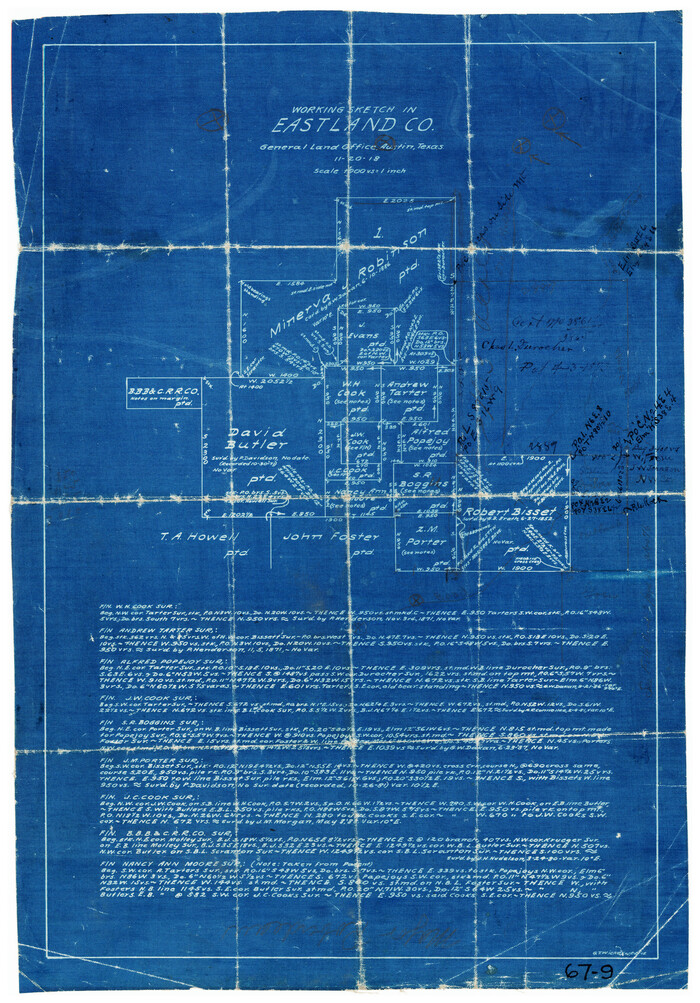
Working Sketch in Eastland Co.

Print $20.00
- Digital $50.00
Working Sketch in Eastland Co.
1918
Size 12.2 x 17.1 inches
Map/Doc 90881
[Surveys along State Line]
![91403, [Surveys along State Line], Twichell Survey Records](https://historictexasmaps.com/wmedia_w700/maps/91403-1.tif.jpg)
![91403, [Surveys along State Line], Twichell Survey Records](https://historictexasmaps.com/wmedia_w700/maps/91403-1.tif.jpg)
Print $3.00
- Digital $50.00
[Surveys along State Line]
Size 7.4 x 17.2 inches
Map/Doc 91403
[Leagues 27, 28, 69, 70, 71, 72, and 73]
![91096, [Leagues 27, 28, 69, 70, 71, 72, and 73], Twichell Survey Records](https://historictexasmaps.com/wmedia_w700/maps/91096-1.tif.jpg)
![91096, [Leagues 27, 28, 69, 70, 71, 72, and 73], Twichell Survey Records](https://historictexasmaps.com/wmedia_w700/maps/91096-1.tif.jpg)
Print $20.00
- Digital $50.00
[Leagues 27, 28, 69, 70, 71, 72, and 73]
Size 24.0 x 15.7 inches
Map/Doc 91096
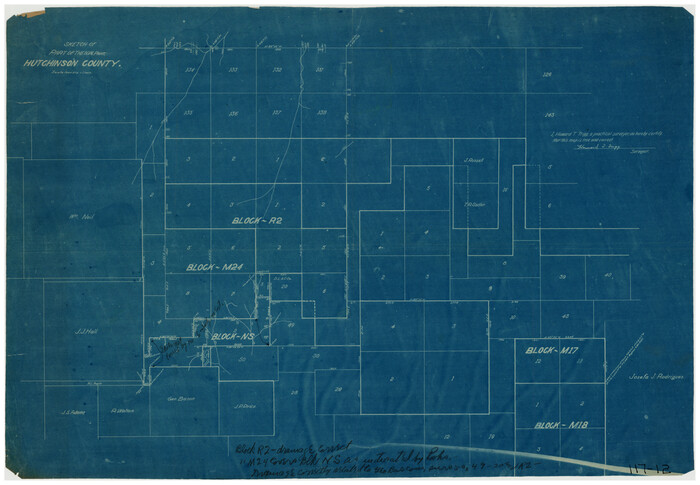
Sketch of the Northwest Portion of Hutchinson County

Print $20.00
- Digital $50.00
Sketch of the Northwest Portion of Hutchinson County
Size 19.8 x 13.6 inches
Map/Doc 91139
[I. & G. N. Block 1 and surroundings]
![91539, [I. & G. N. Block 1 and surroundings], Twichell Survey Records](https://historictexasmaps.com/wmedia_w700/maps/91539-1.tif.jpg)
![91539, [I. & G. N. Block 1 and surroundings], Twichell Survey Records](https://historictexasmaps.com/wmedia_w700/maps/91539-1.tif.jpg)
Print $3.00
- Digital $50.00
[I. & G. N. Block 1 and surroundings]
1892
Size 11.9 x 17.2 inches
Map/Doc 91539
Scrivener's North-west Sub-division, Wichita County, Texas


Print $20.00
- Digital $50.00
Scrivener's North-west Sub-division, Wichita County, Texas
Size 20.0 x 26.0 inches
Map/Doc 91994
[Texas Boundary Line]
![92080, [Texas Boundary Line], Twichell Survey Records](https://historictexasmaps.com/wmedia_w700/maps/92080-1.tif.jpg)
![92080, [Texas Boundary Line], Twichell Survey Records](https://historictexasmaps.com/wmedia_w700/maps/92080-1.tif.jpg)
Print $20.00
- Digital $50.00
[Texas Boundary Line]
Size 21.7 x 12.1 inches
Map/Doc 92080
W. D. Twichell's and R. S. Hunnicutt's Resurvey in Oldham County, Texas June to November, 1915


Print $40.00
- Digital $50.00
W. D. Twichell's and R. S. Hunnicutt's Resurvey in Oldham County, Texas June to November, 1915
1915
Size 71.2 x 43.1 inches
Map/Doc 89974
Mrs. Don D. Kinnebrew Farm Section 72, Block A


Print $20.00
- Digital $50.00
Mrs. Don D. Kinnebrew Farm Section 72, Block A
Size 15.6 x 18.0 inches
Map/Doc 92290
[Blocks M-23, M-17, M-18, H, G, and vicinity]
![91141, [Blocks M-23, M-17, M-18, H, G, and vicinity], Twichell Survey Records](https://historictexasmaps.com/wmedia_w700/maps/91141-1.tif.jpg)
![91141, [Blocks M-23, M-17, M-18, H, G, and vicinity], Twichell Survey Records](https://historictexasmaps.com/wmedia_w700/maps/91141-1.tif.jpg)
Print $20.00
- Digital $50.00
[Blocks M-23, M-17, M-18, H, G, and vicinity]
1882
Size 12.9 x 12.4 inches
Map/Doc 91141
You may also like
[Sketch for Mineral Application 24072, San Jacinto River]
![65609, [Sketch for Mineral Application 24072, San Jacinto River], General Map Collection](https://historictexasmaps.com/wmedia_w700/maps/65609.tif.jpg)
![65609, [Sketch for Mineral Application 24072, San Jacinto River], General Map Collection](https://historictexasmaps.com/wmedia_w700/maps/65609.tif.jpg)
Print $20.00
- Digital $50.00
[Sketch for Mineral Application 24072, San Jacinto River]
1929
Size 8.4 x 13.9 inches
Map/Doc 65609
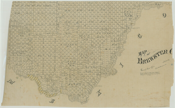
Map of Brewster Co.

Print $20.00
- Digital $50.00
Map of Brewster Co.
Size 26.6 x 43.2 inches
Map/Doc 66725
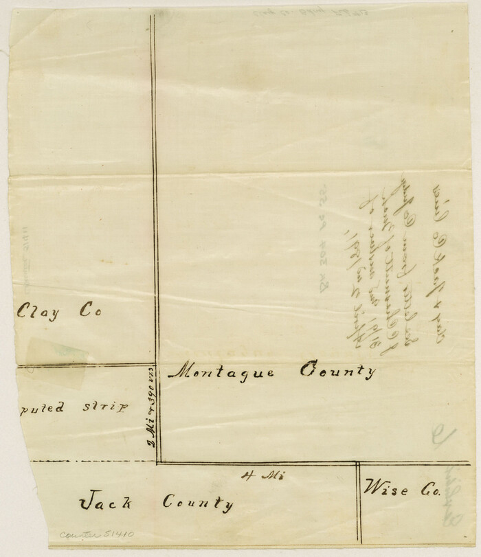
Clay County Boundary File 13

Print $48.00
- Digital $50.00
Clay County Boundary File 13
Size 10.6 x 9.1 inches
Map/Doc 51410
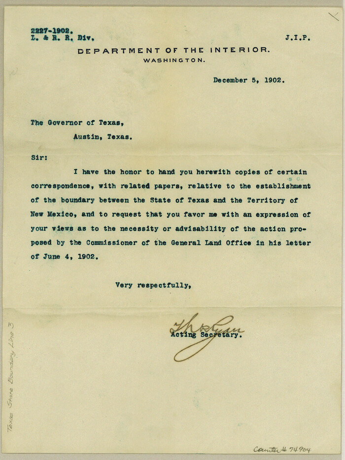
Texas State Boundary Line 3

Print $90.00
- Digital $50.00
Texas State Boundary Line 3
Size 10.9 x 8.2 inches
Map/Doc 74904
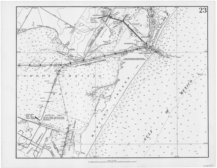
Navigation Maps of Gulf Intracoastal Waterway, Port Arthur to Brownsville, Texas

Print $4.00
- Digital $50.00
Navigation Maps of Gulf Intracoastal Waterway, Port Arthur to Brownsville, Texas
1951
Size 16.7 x 21.5 inches
Map/Doc 65443
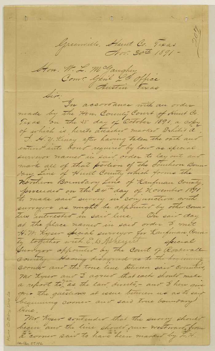
Hunt County Boundary File 2a

Print $30.00
- Digital $50.00
Hunt County Boundary File 2a
Size 14.2 x 8.7 inches
Map/Doc 55192
Oldham County Rolled Sketch 5


Print $20.00
- Digital $50.00
Oldham County Rolled Sketch 5
1903
Size 29.7 x 36.6 inches
Map/Doc 9641
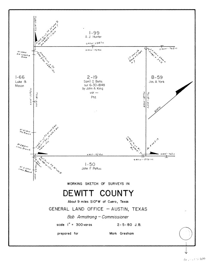
DeWitt County Working Sketch 10

Print $20.00
- Digital $50.00
DeWitt County Working Sketch 10
1980
Size 15.1 x 12.0 inches
Map/Doc 68600
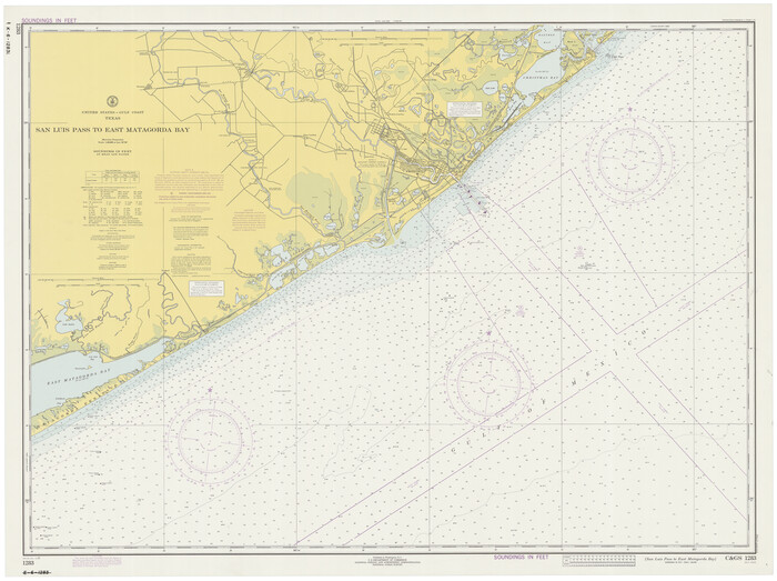
San Luis Pass to East Matagorda Bay

Print $20.00
- Digital $50.00
San Luis Pass to East Matagorda Bay
1973
Size 35.0 x 46.8 inches
Map/Doc 69968
Crockett County Sketch File D


Print $40.00
- Digital $50.00
Crockett County Sketch File D
1903
Size 24.6 x 48.0 inches
Map/Doc 10347
Montgomery County Rolled Sketch 50


Print $20.00
- Digital $50.00
Montgomery County Rolled Sketch 50
2016
Size 24.1 x 35.7 inches
Map/Doc 95685
[Surveys in the Jefferson District]
![3177, [Surveys in the Jefferson District], General Map Collection](https://historictexasmaps.com/wmedia_w700/maps/3177.tif.jpg)
![3177, [Surveys in the Jefferson District], General Map Collection](https://historictexasmaps.com/wmedia_w700/maps/3177.tif.jpg)
Print $2.00
- Digital $50.00
[Surveys in the Jefferson District]
1841
Size 9.8 x 8.0 inches
Map/Doc 3177
![93173, Sheet 3 copied from Peck Book 6 [Strip Map showing T. & P. connecting lines], Twichell Survey Records](https://historictexasmaps.com/wmedia_w1800h1800/maps/93173-1.tif.jpg)
![90594, [Block K7], Twichell Survey Records](https://historictexasmaps.com/wmedia_w700/maps/90594-1.tif.jpg)