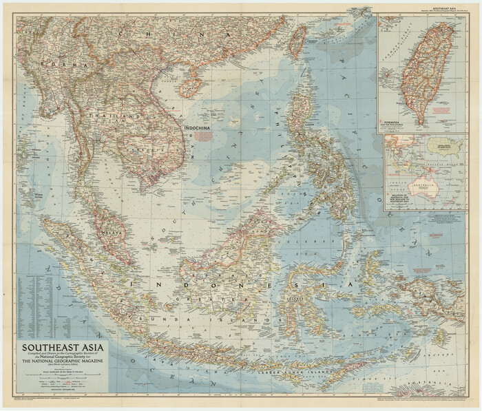
[Stone, Kyle and Kyle Block M6]
35-5
-
Map/Doc
90394
-
Collection
Twichell Survey Records
-
Counties
Castro Swisher Randall Deaf Smith
-
Height x Width
19.7 x 22.5 inches
50.0 x 57.2 cm
Part of: Twichell Survey Records
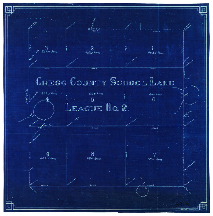
Gregg County School Land League 2

Print $2.00
- Digital $50.00
Gregg County School Land League 2
Size 9.0 x 9.3 inches
Map/Doc 90541
[Survey 321, Double Lakes Area Northwest of Tahoka]
![89962, [Survey 321, Double Lakes Area Northwest of Tahoka], Twichell Survey Records](https://historictexasmaps.com/wmedia_w700/maps/89962-1.tif.jpg)
![89962, [Survey 321, Double Lakes Area Northwest of Tahoka], Twichell Survey Records](https://historictexasmaps.com/wmedia_w700/maps/89962-1.tif.jpg)
Print $20.00
- Digital $50.00
[Survey 321, Double Lakes Area Northwest of Tahoka]
Size 41.3 x 43.0 inches
Map/Doc 89962
[T. A. Thomson Block T, R. M. Thomson Block 1, and Block B]
![91054, [T. A. Thomson Block T, R. M. Thomson Block 1, and Block B], Twichell Survey Records](https://historictexasmaps.com/wmedia_w700/maps/91054-1.tif.jpg)
![91054, [T. A. Thomson Block T, R. M. Thomson Block 1, and Block B], Twichell Survey Records](https://historictexasmaps.com/wmedia_w700/maps/91054-1.tif.jpg)
Print $20.00
- Digital $50.00
[T. A. Thomson Block T, R. M. Thomson Block 1, and Block B]
Size 17.3 x 20.4 inches
Map/Doc 91054
[Sections 47-76 and part of Block 3]
![91807, [Sections 47-76 and part of Block 3], Twichell Survey Records](https://historictexasmaps.com/wmedia_w700/maps/91807-1.tif.jpg)
![91807, [Sections 47-76 and part of Block 3], Twichell Survey Records](https://historictexasmaps.com/wmedia_w700/maps/91807-1.tif.jpg)
Print $20.00
- Digital $50.00
[Sections 47-76 and part of Block 3]
Size 34.1 x 31.7 inches
Map/Doc 91807
Working Drawing Compiled from Field Notes of the Sand Hills Area - Crane Co. Tex.


Print $20.00
- Digital $50.00
Working Drawing Compiled from Field Notes of the Sand Hills Area - Crane Co. Tex.
Size 43.5 x 30.8 inches
Map/Doc 90461
[Sketch showing sections 6, 7, 16, 32, 42 and 43]
![91775, [Sketch showing sections 6, 7, 16, 32, 42 and 43], Twichell Survey Records](https://historictexasmaps.com/wmedia_w700/maps/91775-1.tif.jpg)
![91775, [Sketch showing sections 6, 7, 16, 32, 42 and 43], Twichell Survey Records](https://historictexasmaps.com/wmedia_w700/maps/91775-1.tif.jpg)
Print $3.00
- Digital $50.00
[Sketch showing sections 6, 7, 16, 32, 42 and 43]
Size 14.5 x 11.2 inches
Map/Doc 91775
[Pencil sketch of Wm. Rivers survey]
![91968, [Pencil sketch of Wm. Rivers survey], Twichell Survey Records](https://historictexasmaps.com/wmedia_w700/maps/91968-1.tif.jpg)
![91968, [Pencil sketch of Wm. Rivers survey], Twichell Survey Records](https://historictexasmaps.com/wmedia_w700/maps/91968-1.tif.jpg)
Print $3.00
- Digital $50.00
[Pencil sketch of Wm. Rivers survey]
Size 10.1 x 16.5 inches
Map/Doc 91968
[Block M-19, and G. & M. Blocks 4 and 5]
![91784, [Block M-19, and G. & M. Blocks 4 and 5], Twichell Survey Records](https://historictexasmaps.com/wmedia_w700/maps/91784-1.tif.jpg)
![91784, [Block M-19, and G. & M. Blocks 4 and 5], Twichell Survey Records](https://historictexasmaps.com/wmedia_w700/maps/91784-1.tif.jpg)
Print $20.00
- Digital $50.00
[Block M-19, and G. & M. Blocks 4 and 5]
Size 22.4 x 17.7 inches
Map/Doc 91784
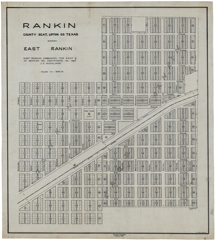
Rankin County Seat Showing East Rankin

Print $20.00
- Digital $50.00
Rankin County Seat Showing East Rankin
Size 31.2 x 34.5 inches
Map/Doc 92852
[Sketch showing Blocks 1, 3, 5, K14, 2Z, 7]
![91824, [Sketch showing Blocks 1, 3, 5, K14, 2Z, 7], Twichell Survey Records](https://historictexasmaps.com/wmedia_w700/maps/91824-1.tif.jpg)
![91824, [Sketch showing Blocks 1, 3, 5, K14, 2Z, 7], Twichell Survey Records](https://historictexasmaps.com/wmedia_w700/maps/91824-1.tif.jpg)
Print $20.00
- Digital $50.00
[Sketch showing Blocks 1, 3, 5, K14, 2Z, 7]
Size 23.6 x 20.0 inches
Map/Doc 91824
You may also like
[Part of Block GG and river sections 68 1/2 -73]
![90471, [Part of Block GG and river sections 68 1/2 -73], Twichell Survey Records](https://historictexasmaps.com/wmedia_w700/maps/90471-1.tif.jpg)
![90471, [Part of Block GG and river sections 68 1/2 -73], Twichell Survey Records](https://historictexasmaps.com/wmedia_w700/maps/90471-1.tif.jpg)
Print $20.00
- Digital $50.00
[Part of Block GG and river sections 68 1/2 -73]
Size 28.0 x 19.2 inches
Map/Doc 90471
Bell County Boundary File 3a


Print $82.00
- Digital $50.00
Bell County Boundary File 3a
Size 11.2 x 8.5 inches
Map/Doc 50502
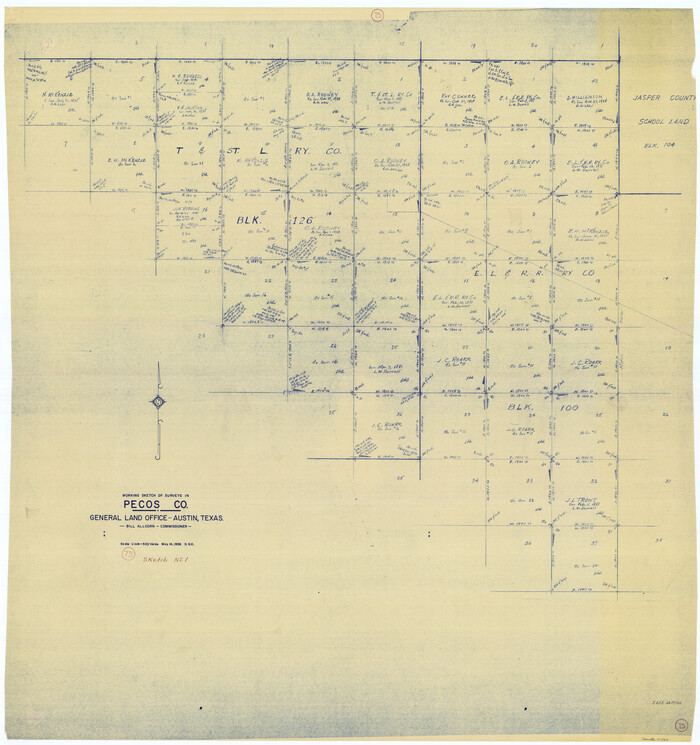
Pecos County Working Sketch 75

Print $20.00
- Digital $50.00
Pecos County Working Sketch 75
1958
Size 43.2 x 40.6 inches
Map/Doc 71547
Sterling County Sketch File 3


Print $20.00
- Digital $50.00
Sterling County Sketch File 3
Size 14.5 x 34.8 inches
Map/Doc 12355
Fannin County Sketch File 11


Print $6.00
- Digital $50.00
Fannin County Sketch File 11
1860
Size 9.9 x 7.4 inches
Map/Doc 22457
Colorado County Sketch File 19

Print $4.00
- Digital $50.00
Colorado County Sketch File 19
Size 9.1 x 7.5 inches
Map/Doc 18952
Cameron County Rolled Sketch 18


Print $64.00
- Digital $50.00
Cameron County Rolled Sketch 18
1970
Size 48.9 x 57.1 inches
Map/Doc 8571
Trinity County Sketch File 14
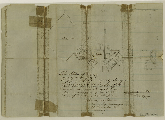

Print $4.00
- Digital $50.00
Trinity County Sketch File 14
1862
Size 8.7 x 12.0 inches
Map/Doc 38540
Nueva Hispania Tabula Nova
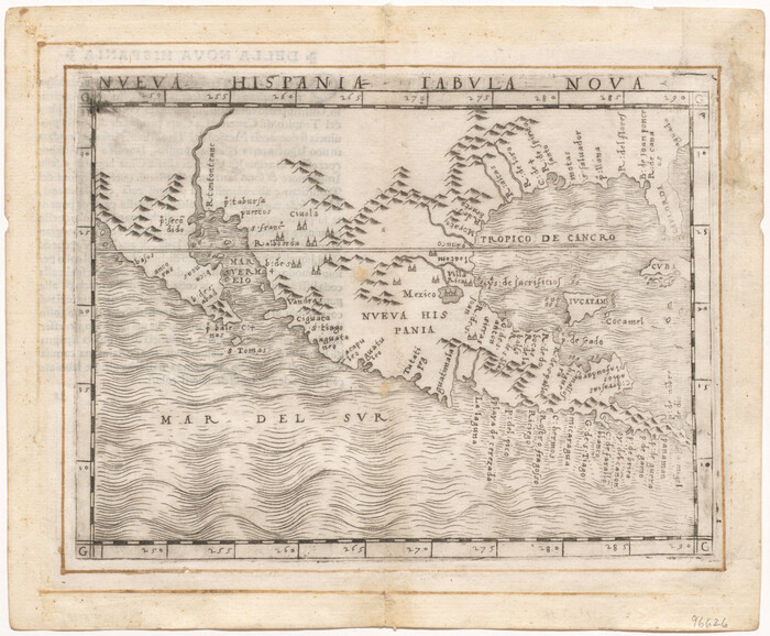

Print $20.00
- Digital $50.00
Nueva Hispania Tabula Nova
1548
Size 6.8 x 8.2 inches
Map/Doc 96626
Travis County Working Sketch 39
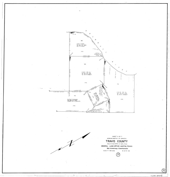

Print $20.00
- Digital $50.00
Travis County Working Sketch 39
1974
Size 33.1 x 31.7 inches
Map/Doc 69423
Presidio County Rolled Sketch 84

Print $20.00
- Digital $50.00
Presidio County Rolled Sketch 84
1942
Size 22.7 x 33.1 inches
Map/Doc 9779
Flight Mission No. BQR-3K, Frame 159, Brazoria County


Print $20.00
- Digital $50.00
Flight Mission No. BQR-3K, Frame 159, Brazoria County
1952
Size 18.6 x 22.3 inches
Map/Doc 83986
![90394, [Stone, Kyle and Kyle Block M6], Twichell Survey Records](https://historictexasmaps.com/wmedia_w1800h1800/maps/90394-1.tif.jpg)
![90567, [Block M], Twichell Survey Records](https://historictexasmaps.com/wmedia_w700/maps/90567-1.tif.jpg)
