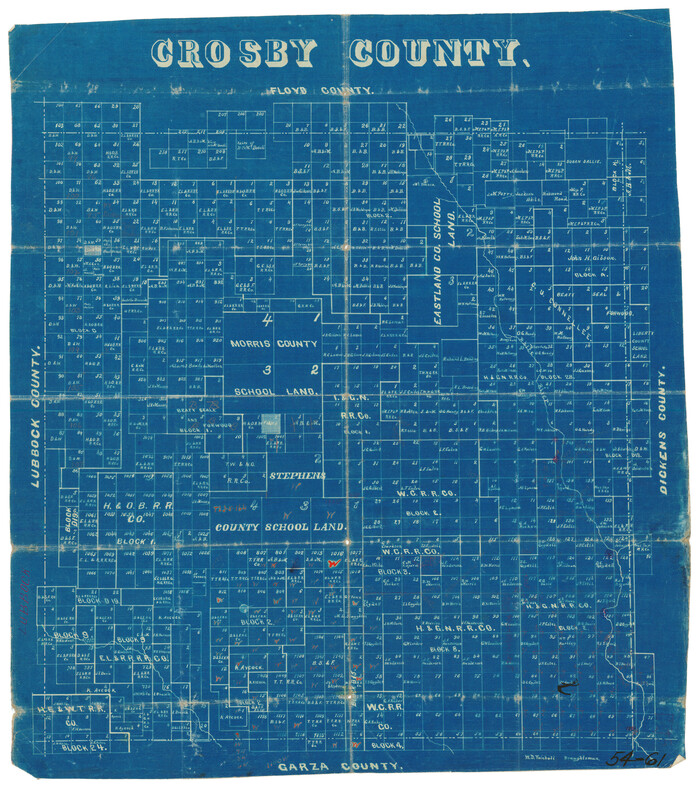
[H. & G. N. Block 28]
54-22
-
Map/Doc
90344
-
Collection
Twichell Survey Records
-
Counties
Crosby
-
Height x Width
25.1 x 31.2 inches
63.8 x 79.3 cm
Part of: Twichell Survey Records
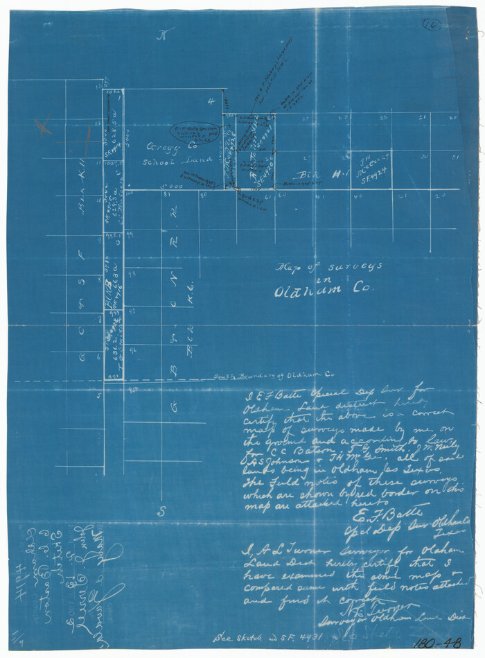
Map of Surveys in Oldham County

Print $20.00
- Digital $50.00
Map of Surveys in Oldham County
1903
Size 12.5 x 17.0 inches
Map/Doc 91449
Replat of Baker 2nd Addition to Lamesa, Part of Southwest Quarter, Section 71, Block 35, Dawson County, Texas


Print $20.00
- Digital $50.00
Replat of Baker 2nd Addition to Lamesa, Part of Southwest Quarter, Section 71, Block 35, Dawson County, Texas
1958
Size 9.9 x 18.8 inches
Map/Doc 92633
General Highway Map Cochran County, Texas


Print $20.00
- Digital $50.00
General Highway Map Cochran County, Texas
1948
Size 18.7 x 25.6 inches
Map/Doc 92498
Cogdell Ranch Kent County, Texas


Print $20.00
- Digital $50.00
Cogdell Ranch Kent County, Texas
1950
Size 24.8 x 13.5 inches
Map/Doc 92189
[Capitol Leagues 217, 218, 219 and 220]
![91460, [Capitol Leagues 217, 218, 219 and 220], Twichell Survey Records](https://historictexasmaps.com/wmedia_w700/maps/91460-1.tif.jpg)
![91460, [Capitol Leagues 217, 218, 219 and 220], Twichell Survey Records](https://historictexasmaps.com/wmedia_w700/maps/91460-1.tif.jpg)
Print $20.00
- Digital $50.00
[Capitol Leagues 217, 218, 219 and 220]
Size 23.2 x 10.3 inches
Map/Doc 91460
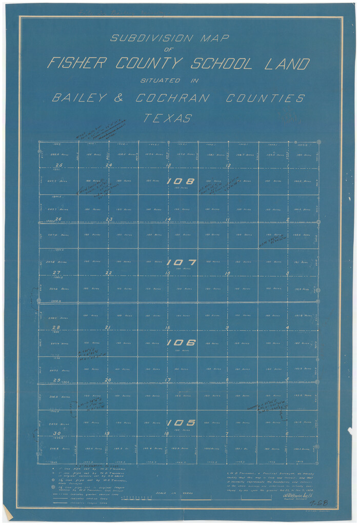
Subdivision Map of Fisher County School Land situated in Bailey and Cochran Counties, Texas

Print $20.00
- Digital $50.00
Subdivision Map of Fisher County School Land situated in Bailey and Cochran Counties, Texas
1924
Size 20.0 x 29.6 inches
Map/Doc 90243
[Aaron Cherry and A. M. de Lejarza Surveys on the Trinity River]
![91080, [Aaron Cherry and A. M. de Lejarza Surveys on the Trinity River], Twichell Survey Records](https://historictexasmaps.com/wmedia_w700/maps/91080-1.tif.jpg)
![91080, [Aaron Cherry and A. M. de Lejarza Surveys on the Trinity River], Twichell Survey Records](https://historictexasmaps.com/wmedia_w700/maps/91080-1.tif.jpg)
Print $20.00
- Digital $50.00
[Aaron Cherry and A. M. de Lejarza Surveys on the Trinity River]
Size 26.3 x 14.1 inches
Map/Doc 91080
[Washington County RR. Co. Block 1 and Cherokee Iron Furnace Co. Block 1]
![92065, [Washington County RR. Co. Block 1 and Cherokee Iron Furnace Co. Block 1], Twichell Survey Records](https://historictexasmaps.com/wmedia_w700/maps/92065-1.tif.jpg)
![92065, [Washington County RR. Co. Block 1 and Cherokee Iron Furnace Co. Block 1], Twichell Survey Records](https://historictexasmaps.com/wmedia_w700/maps/92065-1.tif.jpg)
Print $20.00
- Digital $50.00
[Washington County RR. Co. Block 1 and Cherokee Iron Furnace Co. Block 1]
1911
Size 22.4 x 25.4 inches
Map/Doc 92065
[I. & G. N. RR. Co. Blk. 1]
![89805, [I. & G. N. RR. Co. Blk. 1], Twichell Survey Records](https://historictexasmaps.com/wmedia_w700/maps/89805-1.tif.jpg)
![89805, [I. & G. N. RR. Co. Blk. 1], Twichell Survey Records](https://historictexasmaps.com/wmedia_w700/maps/89805-1.tif.jpg)
Print $40.00
- Digital $50.00
[I. & G. N. RR. Co. Blk. 1]
Size 36.7 x 49.0 inches
Map/Doc 89805
Western Cotton Oil Co. Property Lamb County, Texas

Print $20.00
- Digital $50.00
Western Cotton Oil Co. Property Lamb County, Texas
1951
Size 24.1 x 19.6 inches
Map/Doc 92165
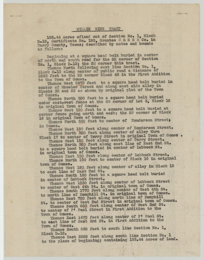
Willie Winn Tract

Print $2.00
- Digital $50.00
Willie Winn Tract
1903
Size 5.9 x 7.6 inches
Map/Doc 92285
You may also like
Duval County Rolled Sketch HD


Print $20.00
- Digital $50.00
Duval County Rolled Sketch HD
1939
Size 22.8 x 32.8 inches
Map/Doc 5767
Texas State Boundary Line 8


Print $170.00
Texas State Boundary Line 8
2000
Size 11.3 x 8.8 inches
Map/Doc 75054
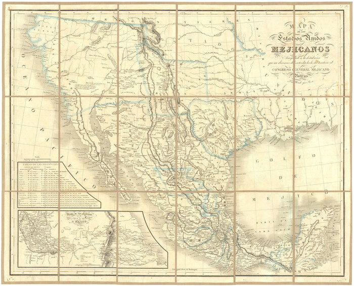
Mapa de los Estados Unidos Mejicanos arreglado a la distribucion que en diversos decretos ha hecho del territorio el Congreso General Mejicano

Print $20.00
- Digital $50.00
Mapa de los Estados Unidos Mejicanos arreglado a la distribucion que en diversos decretos ha hecho del territorio el Congreso General Mejicano
1851
Size 24.6 x 30.3 inches
Map/Doc 96514
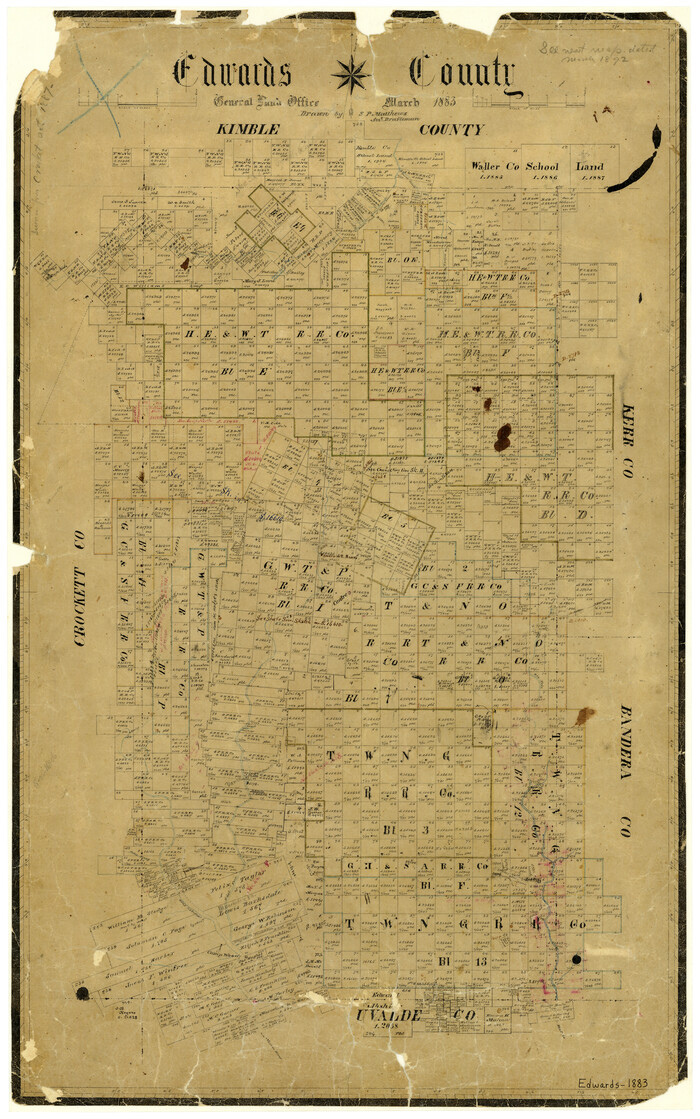
Edwards County

Print $20.00
- Digital $50.00
Edwards County
1883
Size 28.2 x 17.9 inches
Map/Doc 3505
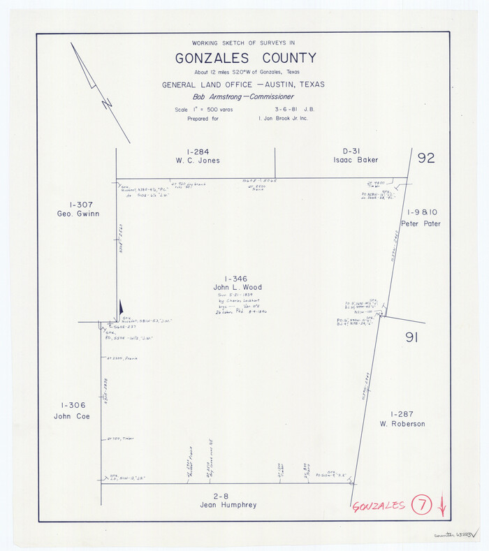
Gonzales County Working Sketch 7

Print $20.00
- Digital $50.00
Gonzales County Working Sketch 7
1981
Size 19.1 x 17.0 inches
Map/Doc 63223
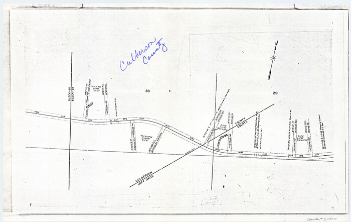
Railroad Track Map, T&PRRCo., Culberson County, Texas

Print $4.00
- Digital $50.00
Railroad Track Map, T&PRRCo., Culberson County, Texas
1910
Size 11.7 x 18.5 inches
Map/Doc 62825
Right of Way and Track Map, Houston & Texas Central R.R. operated by the T. and N. O. R.R., Fort Worth Branch


Print $40.00
- Digital $50.00
Right of Way and Track Map, Houston & Texas Central R.R. operated by the T. and N. O. R.R., Fort Worth Branch
1918
Size 31.7 x 56.8 inches
Map/Doc 64784
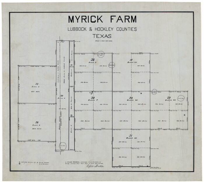
Myrick Farm Lubbock & Hockley Counties

Print $20.00
- Digital $50.00
Myrick Farm Lubbock & Hockley Counties
Size 21.1 x 18.8 inches
Map/Doc 92831
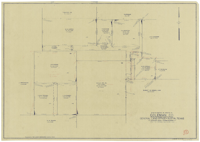
Coleman County Working Sketch 18

Print $20.00
- Digital $50.00
Coleman County Working Sketch 18
1952
Size 24.6 x 34.8 inches
Map/Doc 68084
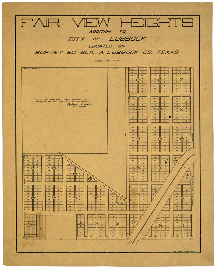
Fair View Heights Addition to City of Lubbock Located on Survey 80, Blk. A

Print $20.00
- Digital $50.00
Fair View Heights Addition to City of Lubbock Located on Survey 80, Blk. A
Size 16.8 x 21.1 inches
Map/Doc 92760
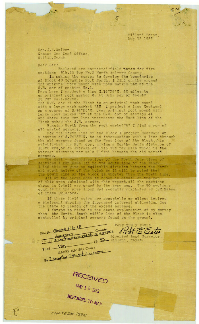
Andrews County Sketch File 19

Print $12.00
- Digital $50.00
Andrews County Sketch File 19
Size 14.3 x 8.8 inches
Map/Doc 12912
![90344, [H. & G. N. Block 28], Twichell Survey Records](https://historictexasmaps.com/wmedia_w1800h1800/maps/90344-1.tif.jpg)
