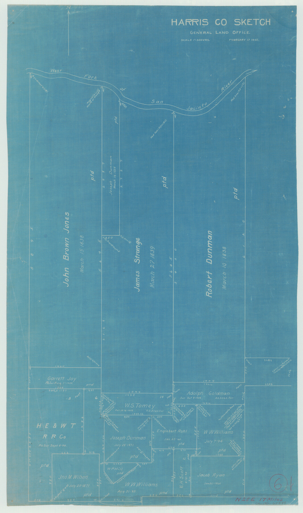
Harris County Working Sketch 6
-
Map/Doc
65898
-
Collection
General Map Collection
-
Object Dates
2/17/1905 (Creation Date)
-
Counties
Harris
-
Subjects
Surveying Working Sketch
-
Height x Width
20.4 x 12.1 inches
51.8 x 30.7 cm
-
Scale
1" = 500 varas
Part of: General Map Collection
Crockett County Rolled Sketch 88A

Print $20.00
- Digital $50.00
Crockett County Rolled Sketch 88A
Size 29.9 x 18.6 inches
Map/Doc 5627
Henderson County Working Sketch 4

Print $20.00
- Digital $50.00
Henderson County Working Sketch 4
1918
Size 21.2 x 16.0 inches
Map/Doc 66137
Hudspeth County Working Sketch 31

Print $40.00
- Digital $50.00
Hudspeth County Working Sketch 31
1972
Size 56.6 x 38.9 inches
Map/Doc 66315
Flight Mission No. BRE-2P, Frame 10, Nueces County

Print $20.00
- Digital $50.00
Flight Mission No. BRE-2P, Frame 10, Nueces County
1956
Size 17.9 x 21.5 inches
Map/Doc 86719
Culberson County Sketch File 30

Print $22.00
- Digital $50.00
Culberson County Sketch File 30
1950
Size 14.2 x 8.7 inches
Map/Doc 20282
Baylor County Sketch File 21

Print $40.00
- Digital $50.00
Baylor County Sketch File 21
Size 17.5 x 30.7 inches
Map/Doc 10908
Loving County Rolled Sketch 1B

Print $40.00
- Digital $50.00
Loving County Rolled Sketch 1B
1952
Size 42.7 x 77.7 inches
Map/Doc 9466
Westliches - Nordamerica

Print $20.00
- Digital $50.00
Westliches - Nordamerica
1867
Size 25.3 x 20.7 inches
Map/Doc 93753
Galveston Bay Texas Lower Part Encluding [sic] Bar and Entrance
![69869, Galveston Bay Texas Lower Part Encluding [sic] Bar and Entrance, General Map Collection](https://historictexasmaps.com/wmedia_w700/maps/69869-1.tif.jpg)
Print $40.00
- Digital $50.00
Galveston Bay Texas Lower Part Encluding [sic] Bar and Entrance
1867
Size 52.6 x 39.1 inches
Map/Doc 69869
Haskell County

Print $20.00
- Digital $50.00
Haskell County
1879
Size 21.0 x 20.4 inches
Map/Doc 1127
Houston County Sketch File 6a

Print $4.00
- Digital $50.00
Houston County Sketch File 6a
Size 10.2 x 8.1 inches
Map/Doc 26762
Schleicher County Sketch File 18

Print $20.00
- Digital $50.00
Schleicher County Sketch File 18
Size 15.1 x 25.0 inches
Map/Doc 12300
You may also like
Map of Crockett Co.

Print $20.00
- Digital $50.00
Map of Crockett Co.
1894
Size 32.6 x 44.1 inches
Map/Doc 4725
Culberson County Sketch File 14

Print $28.00
- Digital $50.00
Culberson County Sketch File 14
1928
Size 13.3 x 8.0 inches
Map/Doc 20176
Presidio County Rolled Sketch 13

Print $40.00
- Digital $50.00
Presidio County Rolled Sketch 13
1882
Size 58.8 x 48.0 inches
Map/Doc 9763
Martin County Sketch File 6

Print $4.00
- Digital $50.00
Martin County Sketch File 6
1914
Size 7.3 x 8.9 inches
Map/Doc 30642
Leon County Rolled Sketch 10

Print $20.00
- Digital $50.00
Leon County Rolled Sketch 10
1962
Size 30.9 x 37.2 inches
Map/Doc 6598
Throckmorton County Sketch File 7

Print $8.00
- Digital $50.00
Throckmorton County Sketch File 7
Size 14.3 x 8.8 inches
Map/Doc 38090
Flight Mission No. DAH-17M, Frame 61, Orange County

Print $20.00
- Digital $50.00
Flight Mission No. DAH-17M, Frame 61, Orange County
1953
Size 18.6 x 22.5 inches
Map/Doc 86895
Pecos County Working Sketch 18

Print $20.00
- Digital $50.00
Pecos County Working Sketch 18
1917
Size 18.4 x 20.9 inches
Map/Doc 71488
Angelina County Sketch File 15a

Print $8.00
- Digital $50.00
Angelina County Sketch File 15a
1857
Size 12.3 x 8.2 inches
Map/Doc 12964
Township No. 2 South Range No. 23 West of the Indian Meridian

Print $20.00
- Digital $50.00
Township No. 2 South Range No. 23 West of the Indian Meridian
1875
Size 19.3 x 24.4 inches
Map/Doc 75175
Brazoria County Sketch File 13

Print $40.00
- Digital $50.00
Brazoria County Sketch File 13
Size 23.8 x 23.0 inches
Map/Doc 10950
Colorado County Working Sketch 33

Print $20.00
- Digital $50.00
Colorado County Working Sketch 33
1988
Size 38.7 x 32.4 inches
Map/Doc 68133