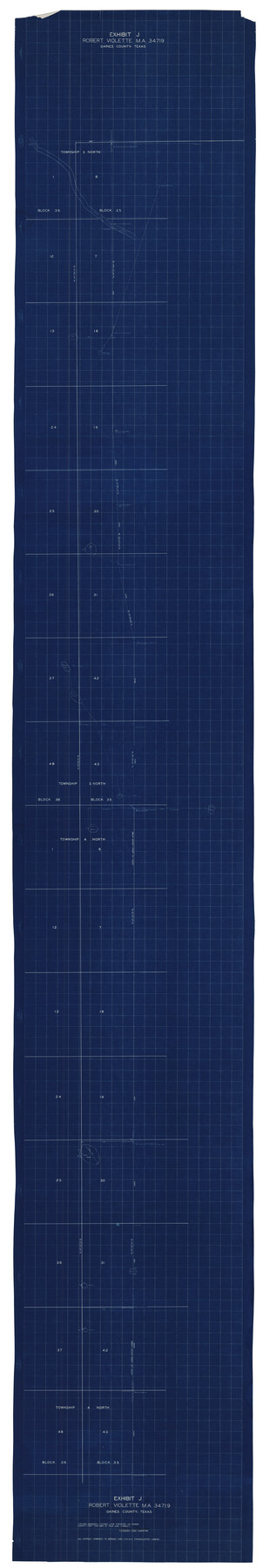
Gaines County Rolled Sketch 14B
Exhibit J, Robert Violette MA 34719
-
Map/Doc
9032
-
Collection
General Map Collection
-
Object Dates
1940 (Creation Date)
1940/4/8 (File Date)
-
People and Organizations
Sylvan Sanders (Surveyor/Engineer)
-
Counties
Dawson
-
Subjects
Surveying Rolled Sketch
-
Height x Width
142.9 x 24.0 inches
363.0 x 61.0 cm
-
Medium
blueprint/diazo
Part of: General Map Collection
Sabine Pass and Lake

Print $40.00
- Digital $50.00
Sabine Pass and Lake
1992
Size 49.2 x 28.6 inches
Map/Doc 69828
Map of Bowie County

Print $20.00
- Digital $50.00
Map of Bowie County
1841
Size 17.8 x 21.8 inches
Map/Doc 3316
Midland County Working Sketch 17

Print $40.00
- Digital $50.00
Midland County Working Sketch 17
1953
Size 32.3 x 49.4 inches
Map/Doc 70997
Hood County Working Sketch 13

Print $20.00
- Digital $50.00
Hood County Working Sketch 13
1978
Size 27.6 x 24.5 inches
Map/Doc 66207
Runnels County Rolled Sketch 41

Print $20.00
- Digital $50.00
Runnels County Rolled Sketch 41
Size 26.1 x 29.8 inches
Map/Doc 7529
Plot of a survey made to connect the surveys in Jackson County with those heretofore made in connection with Colorado County

Print $2.00
- Digital $50.00
Plot of a survey made to connect the surveys in Jackson County with those heretofore made in connection with Colorado County
1847
Size 12.8 x 7.7 inches
Map/Doc 188
Kendall County Working Sketch 22

Print $20.00
- Digital $50.00
Kendall County Working Sketch 22
1971
Size 41.6 x 34.7 inches
Map/Doc 66694
Wilbarger County Sketch File 6

Print $6.00
- Digital $50.00
Wilbarger County Sketch File 6
1874
Size 12.6 x 7.8 inches
Map/Doc 40172
Pecos County Working Sketch 92

Print $40.00
- Digital $50.00
Pecos County Working Sketch 92
1966
Size 31.4 x 62.2 inches
Map/Doc 71565
Kerr County Sketch File 14

Print $20.00
- Digital $50.00
Kerr County Sketch File 14
Size 14.9 x 17.8 inches
Map/Doc 11918

Edwards County Sketch File 49

Print $20.00
- Digital $50.00
Edwards County Sketch File 49
1958
Size 25.6 x 27.9 inches
Map/Doc 11444
You may also like
Runnels County Rolled Sketch 53

Print $20.00
- Digital $50.00
Runnels County Rolled Sketch 53
Size 33.1 x 31.1 inches
Map/Doc 7538

Brazoria County Sketch File 56

Print $109.00
- Digital $50.00
Brazoria County Sketch File 56
1986
Size 10.4 x 7.5 inches
Map/Doc 15327
Nacogdoches County Boundary File 1

Print $36.00
- Digital $50.00
Nacogdoches County Boundary File 1
Size 6.7 x 4.4 inches
Map/Doc 57562
Dallas County Sketch File 18

Print $6.00
- Digital $50.00
Dallas County Sketch File 18
1871
Size 15.8 x 11.0 inches
Map/Doc 20437
Stephens County Working Sketch 16

Print $20.00
- Digital $50.00
Stephens County Working Sketch 16
1968
Size 21.4 x 30.4 inches
Map/Doc 63959
Supreme Court of the United States, October Term, 1924, No. 13, Original - The State of Oklahoma, Complainant vs. The State of Texas, Defendant, The United States, Intervener

Print $20.00
- Digital $50.00
Supreme Court of the United States, October Term, 1924, No. 13, Original - The State of Oklahoma, Complainant vs. The State of Texas, Defendant, The United States, Intervener
1924
Size 22.1 x 38.7 inches
Map/Doc 75130
DeWitt County Boundary File 25 1/2

Print $34.00
- Digital $50.00
DeWitt County Boundary File 25 1/2
Size 8.5 x 4.0 inches
Map/Doc 52522
Die Neüwen Inseln / so hinder Hispanien gegen Orient bey dem Landt Indie ligen

Print $20.00
- Digital $50.00
Die Neüwen Inseln / so hinder Hispanien gegen Orient bey dem Landt Indie ligen
1540
Size 12.3 x 15.6 inches
Map/Doc 93803
Culberson County Working Sketch 20

Print $40.00
- Digital $50.00
Culberson County Working Sketch 20
1935
Size 76.6 x 44.3 inches
Map/Doc 68472
Right of Way and Track Map, the Missouri, Kansas and Texas Ry. of Texas - Henrietta Division

Print $20.00
- Digital $50.00
Right of Way and Track Map, the Missouri, Kansas and Texas Ry. of Texas - Henrietta Division
1918
Size 11.8 x 26.9 inches
Map/Doc 64754
Right of Way Track Map, Wichita Falls & Southern Railroad Company

Print $40.00
- Digital $50.00
Right of Way Track Map, Wichita Falls & Southern Railroad Company
1942
Size 24.5 x 56.1 inches
Map/Doc 64514