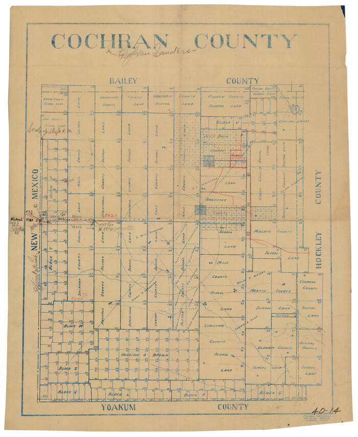
[M. B. & B. Blks. A, B & C near Coyote Lake]
9-32
-
Map/Doc
90249
-
Collection
Twichell Survey Records
-
Counties
Bailey
-
Height x Width
15.4 x 23.3 inches
39.1 x 59.2 cm
Part of: Twichell Survey Records
Castro County Texas
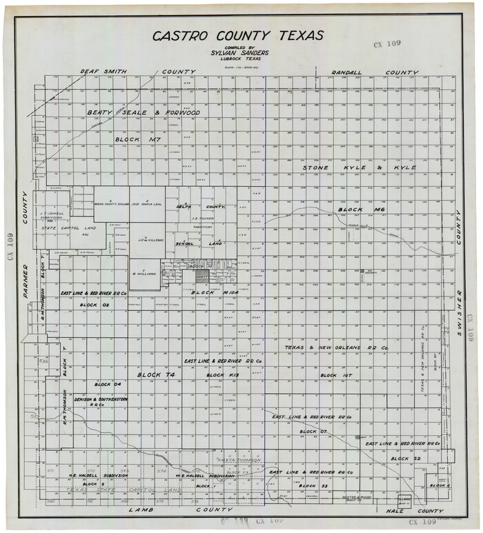

Print $20.00
- Digital $50.00
Castro County Texas
Size 34.0 x 37.5 inches
Map/Doc 92618
[E. T. RR. Block 1]
![93186, [E. T. RR. Block 1], Twichell Survey Records](https://historictexasmaps.com/wmedia_w700/maps/93186-1.tif.jpg)
![93186, [E. T. RR. Block 1], Twichell Survey Records](https://historictexasmaps.com/wmedia_w700/maps/93186-1.tif.jpg)
Print $40.00
- Digital $50.00
[E. T. RR. Block 1]
Size 69.6 x 52.7 inches
Map/Doc 93186
Signal Hill Texas


Print $20.00
- Digital $50.00
Signal Hill Texas
Size 17.5 x 17.7 inches
Map/Doc 92112
[Parts of Public School Land Blocks 39, 31, C-40, C-42, E. L. & R. R. Blocks H, I]
![91271, [Parts of Public School Land Blocks 39, 31, C-40, C-42, E. L. & R. R. Blocks H, I], Twichell Survey Records](https://historictexasmaps.com/wmedia_w700/maps/91271-1.tif.jpg)
![91271, [Parts of Public School Land Blocks 39, 31, C-40, C-42, E. L. & R. R. Blocks H, I], Twichell Survey Records](https://historictexasmaps.com/wmedia_w700/maps/91271-1.tif.jpg)
Print $20.00
- Digital $50.00
[Parts of Public School Land Blocks 39, 31, C-40, C-42, E. L. & R. R. Blocks H, I]
Size 14.2 x 19.5 inches
Map/Doc 91271
[Blocks 178, 194, Z]
![91579, [Blocks 178, 194, Z], Twichell Survey Records](https://historictexasmaps.com/wmedia_w700/maps/91579-1.tif.jpg)
![91579, [Blocks 178, 194, Z], Twichell Survey Records](https://historictexasmaps.com/wmedia_w700/maps/91579-1.tif.jpg)
Print $3.00
- Digital $50.00
[Blocks 178, 194, Z]
Size 12.8 x 10.5 inches
Map/Doc 91579
Ownership Map Upton Co., Texas
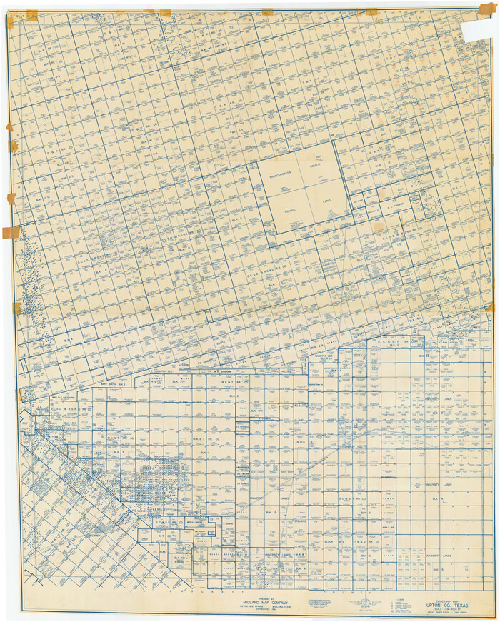

Ownership Map Upton Co., Texas
1951
Size 45.6 x 56.9 inches
Map/Doc 89904
[Part of Blocks 34 and 35, Township 3 North]
![91287, [Part of Blocks 34 and 35, Township 3 North], Twichell Survey Records](https://historictexasmaps.com/wmedia_w700/maps/91287-1.tif.jpg)
![91287, [Part of Blocks 34 and 35, Township 3 North], Twichell Survey Records](https://historictexasmaps.com/wmedia_w700/maps/91287-1.tif.jpg)
Print $20.00
- Digital $50.00
[Part of Blocks 34 and 35, Township 3 North]
Size 12.7 x 13.5 inches
Map/Doc 91287
[T. & P. Blocks 33 and 34, Townships 4N and 5N]
![90625, [T. & P. Blocks 33 and 34, Townships 4N and 5N], Twichell Survey Records](https://historictexasmaps.com/wmedia_w700/maps/90625-1.tif.jpg)
![90625, [T. & P. Blocks 33 and 34, Townships 4N and 5N], Twichell Survey Records](https://historictexasmaps.com/wmedia_w700/maps/90625-1.tif.jpg)
Print $20.00
- Digital $50.00
[T. & P. Blocks 33 and 34, Townships 4N and 5N]
Size 14.4 x 17.7 inches
Map/Doc 90625
[C. C. S. D. & R. G. N. G Ry. Co. Block in NW of County]
![90821, [C. C. S. D. & R. G. N. G Ry. Co. Block in NW of County], Twichell Survey Records](https://historictexasmaps.com/wmedia_w700/maps/90821-2.tif.jpg)
![90821, [C. C. S. D. & R. G. N. G Ry. Co. Block in NW of County], Twichell Survey Records](https://historictexasmaps.com/wmedia_w700/maps/90821-2.tif.jpg)
Print $20.00
- Digital $50.00
[C. C. S. D. & R. G. N. G Ry. Co. Block in NW of County]
Size 17.3 x 22.0 inches
Map/Doc 90821
[Blocks S2, K3, K, and S1]
![90415, [Blocks S2, K3, K, and S1], Twichell Survey Records](https://historictexasmaps.com/wmedia_w700/maps/90415-1.tif.jpg)
![90415, [Blocks S2, K3, K, and S1], Twichell Survey Records](https://historictexasmaps.com/wmedia_w700/maps/90415-1.tif.jpg)
Print $20.00
- Digital $50.00
[Blocks S2, K3, K, and S1]
1906
Size 17.9 x 16.4 inches
Map/Doc 90415
[Block Y2 and Part of Block 1, B. & B.]
![91169, [Block Y2 and Part of Block 1, B. & B.], Twichell Survey Records](https://historictexasmaps.com/wmedia_w700/maps/91169-1.tif.jpg)
![91169, [Block Y2 and Part of Block 1, B. & B.], Twichell Survey Records](https://historictexasmaps.com/wmedia_w700/maps/91169-1.tif.jpg)
Print $20.00
- Digital $50.00
[Block Y2 and Part of Block 1, B. & B.]
Size 26.2 x 17.6 inches
Map/Doc 91169
You may also like
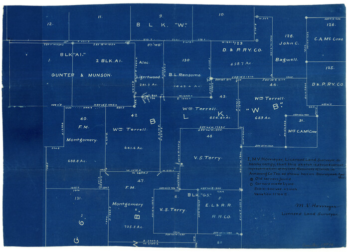
Armstrong County Sketch File A-13

Print $40.00
- Digital $50.00
Armstrong County Sketch File A-13
Size 12.8 x 17.7 inches
Map/Doc 13714
Terrell County Working Sketch 65


Print $40.00
- Digital $50.00
Terrell County Working Sketch 65
1972
Size 49.0 x 44.8 inches
Map/Doc 69586
[Southern Pacific Rail Road Co. Blocks 15 and 16 in Mitchell, Sterling and Coke Counties]
![91838, [Southern Pacific Rail Road Co. Blocks 15 and 16 in Mitchell, Sterling and Coke Counties], Twichell Survey Records](https://historictexasmaps.com/wmedia_w700/maps/91838-1.tif.jpg)
![91838, [Southern Pacific Rail Road Co. Blocks 15 and 16 in Mitchell, Sterling and Coke Counties], Twichell Survey Records](https://historictexasmaps.com/wmedia_w700/maps/91838-1.tif.jpg)
Print $20.00
- Digital $50.00
[Southern Pacific Rail Road Co. Blocks 15 and 16 in Mitchell, Sterling and Coke Counties]
Size 34.5 x 29.2 inches
Map/Doc 91838
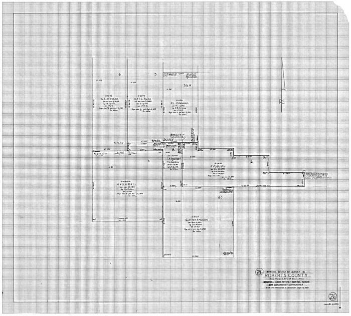
Roberts County Working Sketch 26

Print $20.00
- Digital $50.00
Roberts County Working Sketch 26
1982
Size 28.5 x 31.6 inches
Map/Doc 63552
Map of Houston, Texas


Print $20.00
- Digital $50.00
Map of Houston, Texas
1890
Size 10.3 x 7.1 inches
Map/Doc 94064
Menard County Boundary File 2b


Print $6.00
- Digital $50.00
Menard County Boundary File 2b
Size 13.3 x 8.2 inches
Map/Doc 57069
Galveston County Sketch File 45


Print $20.00
- Digital $50.00
Galveston County Sketch File 45
1930
Size 19.5 x 23.2 inches
Map/Doc 11540
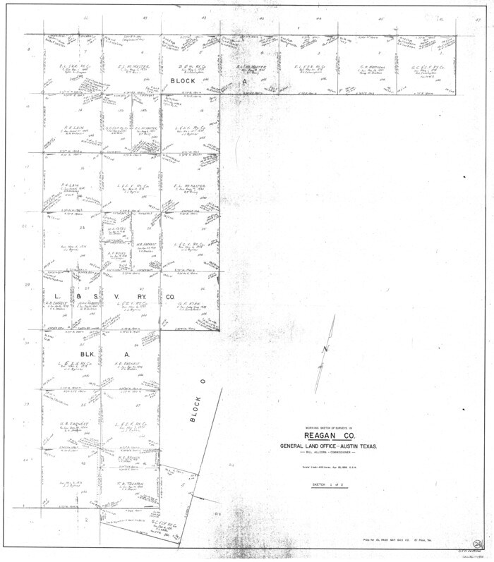
Reagan County Working Sketch 24

Print $20.00
- Digital $50.00
Reagan County Working Sketch 24
1958
Size 45.4 x 39.9 inches
Map/Doc 71866
Texas City Channel, Texas, Channel and Turning Basin Dredging - Sheet 5


Print $20.00
- Digital $50.00
Texas City Channel, Texas, Channel and Turning Basin Dredging - Sheet 5
1958
Size 28.2 x 40.9 inches
Map/Doc 61835
Aransas County Rolled Sketch 26


Print $20.00
- Digital $50.00
Aransas County Rolled Sketch 26
1984
Size 18.3 x 24.4 inches
Map/Doc 5060
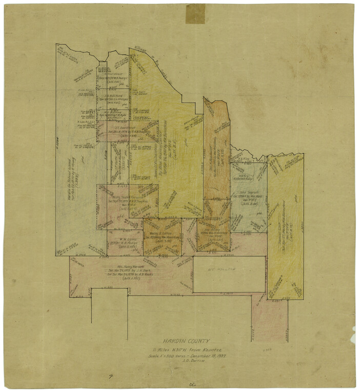
Hardin County Rolled Sketch 5

Print $20.00
- Digital $50.00
Hardin County Rolled Sketch 5
1937
Size 21.5 x 18.8 inches
Map/Doc 6078
![90249, [M. B. & B. Blks. A, B & C near Coyote Lake], Twichell Survey Records](https://historictexasmaps.com/wmedia_w1800h1800/maps/90249-1.tif.jpg)
