Carson County Sketch File 6c
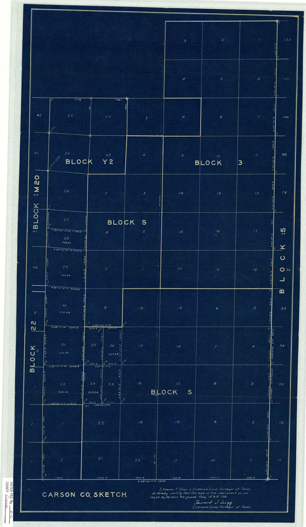
[Sketch of surveys in Block Y-2 in northwest part of the county]
-
Map/Doc
11055
-
Collection
General Map Collection
-
Object Dates
1930/3/4 (File Date)
1930/2/19 (Survey Date)
1930/2/18 (Survey Date)
-
People and Organizations
Howard T. Trigg (Surveyor/Engineer)
-
Counties
Carson
-
Subjects
Surveying Sketch File
-
Height x Width
26.6 x 15.5 inches
67.6 x 39.4 cm
-
Medium
blueprint/diazo
Part of: General Map Collection
Henderson County Working Sketch 10

Print $20.00
- Digital $50.00
Henderson County Working Sketch 10
1925
Size 29.7 x 18.8 inches
Map/Doc 66143
Pecos County Working Sketch 104

Print $40.00
- Digital $50.00
Pecos County Working Sketch 104
1971
Size 63.1 x 26.9 inches
Map/Doc 71577
Reagan County Sketch File 3

Print $20.00
- Digital $50.00
Reagan County Sketch File 3
Size 18.0 x 21.9 inches
Map/Doc 12213
Shelby County Sketch File 20

Print $20.00
- Digital $50.00
Shelby County Sketch File 20
1879
Size 18.3 x 34.6 inches
Map/Doc 12319
Floyd County Boundary File 4b

Print $40.00
- Digital $50.00
Floyd County Boundary File 4b
Size 11.9 x 24.8 inches
Map/Doc 53498
Frio County Working Sketch 25

Print $40.00
- Digital $50.00
Frio County Working Sketch 25
1989
Size 35.4 x 50.0 inches
Map/Doc 69299
Zapata County Rolled Sketch 12

Print $40.00
- Digital $50.00
Zapata County Rolled Sketch 12
1917
Size 54.2 x 39.9 inches
Map/Doc 10164

Mills County Boundary File 4a

Print $4.00
- Digital $50.00
Mills County Boundary File 4a
Size 14.2 x 8.6 inches
Map/Doc 57294
Hardin County Sketch File 21

Print $4.00
- Digital $50.00
Hardin County Sketch File 21
Size 11.2 x 8.8 inches
Map/Doc 25140
Houston County Working Sketch 17

Print $40.00
- Digital $50.00
Houston County Working Sketch 17
1968
Size 43.4 x 50.3 inches
Map/Doc 66247
Wharton County Rolled Sketch 12

Print $20.00
- Digital $50.00
Wharton County Rolled Sketch 12
1986
Size 31.1 x 23.7 inches
Map/Doc 8237
You may also like
Tom Green County Sketch File 13

Print $4.00
- Digital $50.00
Tom Green County Sketch File 13
Size 6.3 x 8.4 inches
Map/Doc 38170
Borden County Sketch File 1a

Print $40.00
- Digital $50.00
Borden County Sketch File 1a
1900
Size 24.6 x 11.7 inches
Map/Doc 10931
Turner 23 Acres in Lee County

Print $20.00
- Digital $50.00
Turner 23 Acres in Lee County
Size 27.0 x 20.2 inches
Map/Doc 91081
Red River County, Texas

Print $20.00
- Digital $50.00
Red River County, Texas
Size 22.2 x 17.2 inches
Map/Doc 95756
Sterling County Sketch File 26

Print $24.00
- Digital $50.00
Sterling County Sketch File 26
1989
Size 14.2 x 8.8 inches
Map/Doc 37194
Stonewall County Sketch File 15

Print $40.00
- Digital $50.00
Stonewall County Sketch File 15
1905
Size 14.3 x 8.7 inches
Map/Doc 37255
Portion of Culberson County, Texas

Print $20.00
- Digital $50.00
Portion of Culberson County, Texas
1948
Size 30.9 x 33.0 inches
Map/Doc 92556
Flight Mission No. CRC-4R, Frame 179, Chambers County

Print $20.00
- Digital $50.00
Flight Mission No. CRC-4R, Frame 179, Chambers County
1956
Size 18.6 x 22.3 inches
Map/Doc 84930
Madison County

Print $20.00
- Digital $50.00
Madison County
1871
Size 15.2 x 20.3 inches
Map/Doc 4587
Presidio County Working Sketch 138

Print $20.00
- Digital $50.00
Presidio County Working Sketch 138
1990
Size 17.4 x 41.2 inches
Map/Doc 71816
Hardeman County Working Sketch 4

Print $40.00
- Digital $50.00
Hardeman County Working Sketch 4
1920
Size 23.9 x 70.2 inches
Map/Doc 63385
Roberts County Rolled Sketch 5

Print $20.00
- Digital $50.00
Roberts County Rolled Sketch 5
2015
Size 42.6 x 25.0 inches
Map/Doc 94071