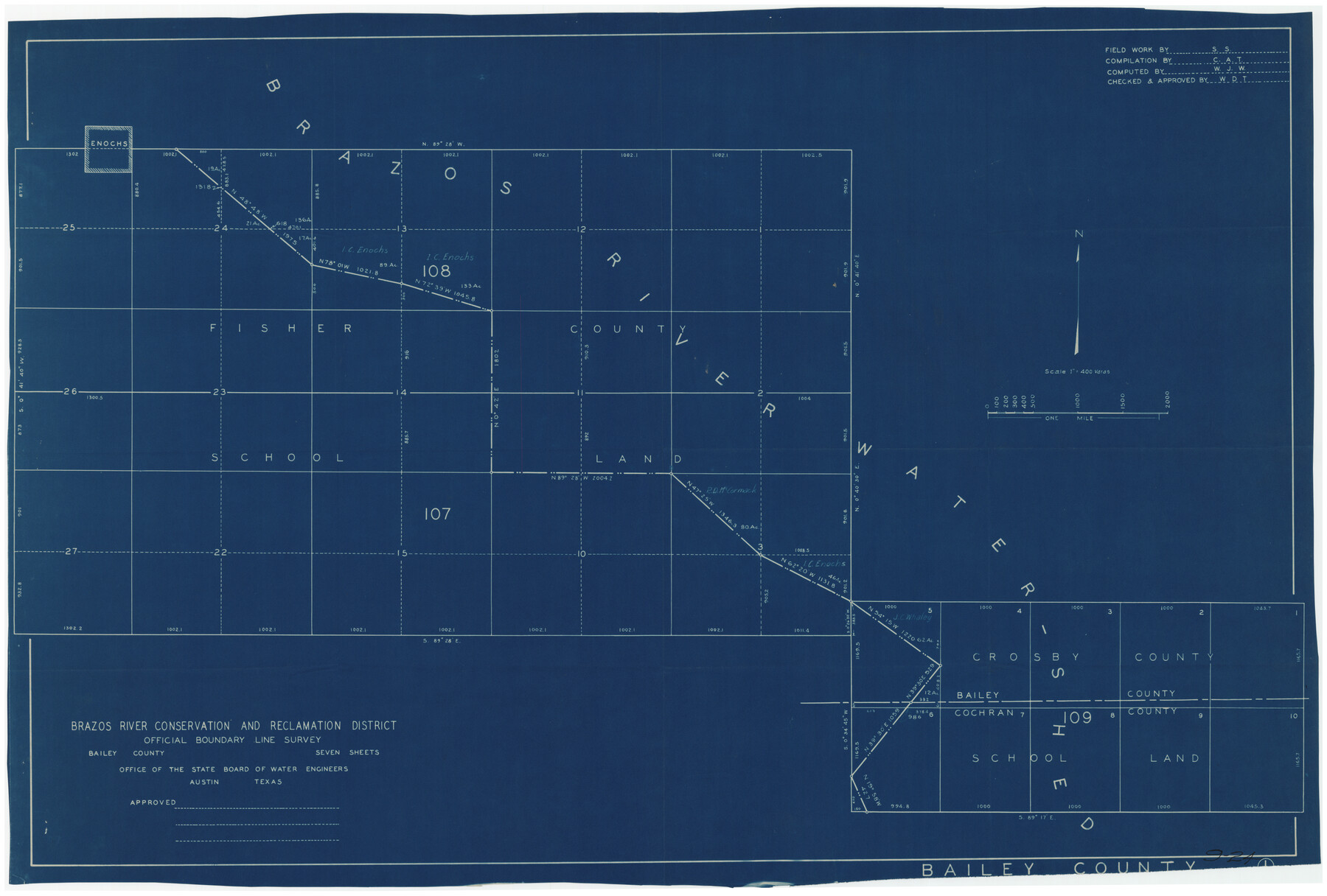
Brazos River Conservation and Reclamation District Official Boundary Line Survey
9-24
-
Map/Doc
90126
-
Collection
Twichell Survey Records
-
People and Organizations
Office of the State Board of Water Engineers (Publisher)
Sylvan Sanders (Surveyor/Engineer)
-
Counties
Bailey
-
Height x Width
36.8 x 24.8 inches
93.5 x 63.0 cm
Part of: Twichell Survey Records
[Hood, Rusk, Atascosa, Blanco, and Crosby County School Lands]
![91119, [Hood, Rusk, Atascosa, Blanco, and Crosby County School Lands], Twichell Survey Records](https://historictexasmaps.com/wmedia_w700/maps/91119-1.tif.jpg)
Print $20.00
- Digital $50.00
[Hood, Rusk, Atascosa, Blanco, and Crosby County School Lands]
Size 10.3 x 22.1 inches
Map/Doc 91119
[I. & G. N. Block 1]
![93028, [I. & G. N. Block 1], Twichell Survey Records](https://historictexasmaps.com/wmedia_w700/maps/93028-1.tif.jpg)
Print $20.00
- Digital $50.00
[I. & G. N. Block 1]
Size 42.3 x 32.8 inches
Map/Doc 93028
Dawson County

Print $20.00
- Digital $50.00
Dawson County
1892
Size 19.7 x 24.7 inches
Map/Doc 90626
[Capitol Leagues 225-238]
![90676, [Capitol Leagues 225-238], Twichell Survey Records](https://historictexasmaps.com/wmedia_w700/maps/90676-1.tif.jpg)
Print $20.00
- Digital $50.00
[Capitol Leagues 225-238]
Size 23.1 x 13.6 inches
Map/Doc 90676

[Leagues 7, 8, 9, and 10]
![92253, [Leagues 7, 8, 9, and 10], Twichell Survey Records](https://historictexasmaps.com/wmedia_w700/maps/92253-1.tif.jpg)
Print $20.00
- Digital $50.00
[Leagues 7, 8, 9, and 10]
Size 31.7 x 24.4 inches
Map/Doc 92253
[Leagues 464-467 and vicinity]
![91559, [Leagues 464-467 and vicinity], Twichell Survey Records](https://historictexasmaps.com/wmedia_w700/maps/91559-1.tif.jpg)
Print $20.00
- Digital $50.00
[Leagues 464-467 and vicinity]
Size 18.4 x 12.1 inches
Map/Doc 91559
[Sketch of part of Blks. 4, B5, 6, 2Z, M6, M8, and M13]
![89645, [Sketch of part of Blks. 4, B5, 6, 2Z, M6, M8, and M13], Twichell Survey Records](https://historictexasmaps.com/wmedia_w700/maps/89645-1.tif.jpg)
Print $40.00
- Digital $50.00
[Sketch of part of Blks. 4, B5, 6, 2Z, M6, M8, and M13]
Size 22.7 x 55.3 inches
Map/Doc 89645

[Township 3 North, Block 32]
![91210, [Township 3 North, Block 32], Twichell Survey Records](https://historictexasmaps.com/wmedia_w700/maps/91210-1.tif.jpg)
Print $20.00
- Digital $50.00
[Township 3 North, Block 32]
Size 14.5 x 13.2 inches
Map/Doc 91210
Map of Geo. W. Littlefield's Ranch Located on State Capitol Leagues 657-736 Situated in Lamb and Hockley Counties

Print $20.00
- Digital $50.00
Map of Geo. W. Littlefield's Ranch Located on State Capitol Leagues 657-736 Situated in Lamb and Hockley Counties
Size 29.7 x 45.6 inches
Map/Doc 91223
[Sketch showing Block AX, North part of Block G, Block S and part of Block D]
![92018, [Sketch showing Block AX, North part of Block G, Block S and part of Block D], Twichell Survey Records](https://historictexasmaps.com/wmedia_w700/maps/92018-1.tif.jpg)
Print $20.00
- Digital $50.00
[Sketch showing Block AX, North part of Block G, Block S and part of Block D]
Size 33.2 x 44.1 inches
Map/Doc 92018
You may also like
Angelina County Sketch File 26

Print $40.00
- Digital $50.00
Angelina County Sketch File 26
1909
Size 18.0 x 23.0 inches
Map/Doc 10817
Brewster County Working Sketch 89

Print $20.00
- Digital $50.00
Brewster County Working Sketch 89
1974
Size 20.5 x 44.1 inches
Map/Doc 67689
Coleman County Sketch File 50

Print $4.00
- Digital $50.00
Coleman County Sketch File 50
Size 12.6 x 8.2 inches
Map/Doc 18853
Delta County Sketch File 5

Print $2.00
- Digital $50.00
Delta County Sketch File 5
1886
Size 14.6 x 8.6 inches
Map/Doc 20676
Bosque County

Print $40.00
- Digital $50.00
Bosque County
1945
Size 48.8 x 38.7 inches
Map/Doc 95432
Galveston County Sketch File 11b

Print $4.00
- Digital $50.00
Galveston County Sketch File 11b
1876
Size 8.9 x 8.9 inches
Map/Doc 23378
Flight Mission No. BRE-2P, Frame 22, Nueces County

Print $20.00
- Digital $50.00
Flight Mission No. BRE-2P, Frame 22, Nueces County
1956
Size 18.7 x 22.6 inches
Map/Doc 86731
North Half, Harris County, Texas - Ownership Map with Well Data

North Half, Harris County, Texas - Ownership Map with Well Data
1948
Size 121.9 x 44.3 inches
Map/Doc 93206
Harris County Historic Topographic 8

Print $20.00
- Digital $50.00
Harris County Historic Topographic 8
1916
Size 29.8 x 23.1 inches
Map/Doc 65818
Kent County Working Sketch 3a

Print $20.00
- Digital $50.00
Kent County Working Sketch 3a
1948
Size 24.5 x 18.6 inches
Map/Doc 70009
Flight Mission No. BRA-7M, Frame 180, Jefferson County

Print $20.00
- Digital $50.00
Flight Mission No. BRA-7M, Frame 180, Jefferson County
1953
Size 18.7 x 22.4 inches
Map/Doc 85548
Sec. 22, Block 103

Print $2.00
- Digital $50.00
Sec. 22, Block 103
Size 8.4 x 9.5 inches
Map/Doc 90431