[Leagues 464-467 and vicinity]
185-27
-
Map/Doc
91559
-
Collection
Twichell Survey Records
-
Counties
Parmer
-
Height x Width
18.4 x 12.1 inches
46.7 x 30.7 cm
Part of: Twichell Survey Records
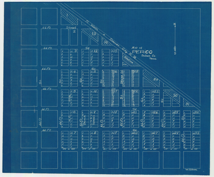
Map of Perico, Dallam County, Texas

Print $20.00
- Digital $50.00
Map of Perico, Dallam County, Texas
Size 20.1 x 16.7 inches
Map/Doc 92128
[Blocks 34-36, Township 1N]
![92032, [Blocks 34-36, Township 1N], Twichell Survey Records](https://historictexasmaps.com/wmedia_w700/maps/92032-1.tif.jpg)
![92032, [Blocks 34-36, Township 1N], Twichell Survey Records](https://historictexasmaps.com/wmedia_w700/maps/92032-1.tif.jpg)
Print $20.00
- Digital $50.00
[Blocks 34-36, Township 1N]
Size 37.0 x 24.0 inches
Map/Doc 92032
[Blocks 5-T, M-23, and vicinity]
![91230, [Blocks 5-T, M-23, and vicinity], Twichell Survey Records](https://historictexasmaps.com/wmedia_w700/maps/91230-1.tif.jpg)
![91230, [Blocks 5-T, M-23, and vicinity], Twichell Survey Records](https://historictexasmaps.com/wmedia_w700/maps/91230-1.tif.jpg)
Print $20.00
- Digital $50.00
[Blocks 5-T, M-23, and vicinity]
1890
Size 39.0 x 22.7 inches
Map/Doc 91230
East Line of Lipscomb County


Print $20.00
- Digital $50.00
East Line of Lipscomb County
Size 8.9 x 21.7 inches
Map/Doc 91317
[Sections 58-64, I. & G. N. Block 1]
![91546, [Sections 58-64, I. & G. N. Block 1], Twichell Survey Records](https://historictexasmaps.com/wmedia_w700/maps/91546-1.tif.jpg)
![91546, [Sections 58-64, I. & G. N. Block 1], Twichell Survey Records](https://historictexasmaps.com/wmedia_w700/maps/91546-1.tif.jpg)
Print $2.00
- Digital $50.00
[Sections 58-64, I. & G. N. Block 1]
Size 8.6 x 11.1 inches
Map/Doc 91546
Holmes' Addition Located on North Part of SW Quarter Section 10, Block A


Print $20.00
- Digital $50.00
Holmes' Addition Located on North Part of SW Quarter Section 10, Block A
Size 20.7 x 8.5 inches
Map/Doc 92714
Stanton Acres, a Subdivision of Tracts 2 and 3, Block 1; and Tract 1, Block 2]
![91336, Stanton Acres, a Subdivision of Tracts 2 and 3, Block 1; and Tract 1, Block 2], Twichell Survey Records](https://historictexasmaps.com/wmedia_w700/maps/91336-1.tif.jpg)
![91336, Stanton Acres, a Subdivision of Tracts 2 and 3, Block 1; and Tract 1, Block 2], Twichell Survey Records](https://historictexasmaps.com/wmedia_w700/maps/91336-1.tif.jpg)
Print $3.00
- Digital $50.00
Stanton Acres, a Subdivision of Tracts 2 and 3, Block 1; and Tract 1, Block 2]
Size 9.4 x 11.8 inches
Map/Doc 91336
[Madison County School Land, W. Perry and other surveys to the East]
![90428, [Madison County School Land, W. Perry and other surveys to the East], Twichell Survey Records](https://historictexasmaps.com/wmedia_w700/maps/90428-1.tif.jpg)
![90428, [Madison County School Land, W. Perry and other surveys to the East], Twichell Survey Records](https://historictexasmaps.com/wmedia_w700/maps/90428-1.tif.jpg)
Print $20.00
- Digital $50.00
[Madison County School Land, W. Perry and other surveys to the East]
Size 12.9 x 18.0 inches
Map/Doc 90428
[Blocks 21, 22, 23, and 24]
![91110, [Blocks 21, 22, 23, and 24], Twichell Survey Records](https://historictexasmaps.com/wmedia_w700/maps/91110-1.tif.jpg)
![91110, [Blocks 21, 22, 23, and 24], Twichell Survey Records](https://historictexasmaps.com/wmedia_w700/maps/91110-1.tif.jpg)
Print $20.00
- Digital $50.00
[Blocks 21, 22, 23, and 24]
Size 14.0 x 12.8 inches
Map/Doc 91110
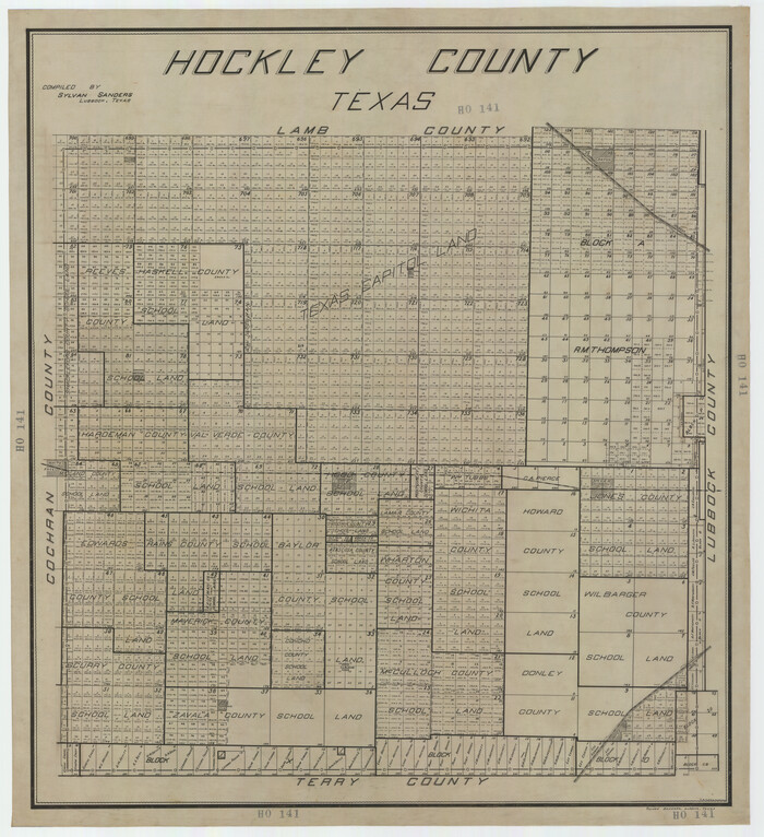
Hockley County, Texas

Print $20.00
- Digital $50.00
Hockley County, Texas
Size 34.4 x 37.5 inches
Map/Doc 92247
Jeff Davis Co.


Print $20.00
- Digital $50.00
Jeff Davis Co.
1915
Size 26.0 x 28.0 inches
Map/Doc 92174
You may also like
[International & Great Northern Railroad, from Troupe to Overton]
![64388, [International & Great Northern Railroad, from Troupe to Overton], General Map Collection](https://historictexasmaps.com/wmedia_w700/maps/64388.tif.jpg)
![64388, [International & Great Northern Railroad, from Troupe to Overton], General Map Collection](https://historictexasmaps.com/wmedia_w700/maps/64388.tif.jpg)
Print $20.00
- Digital $50.00
[International & Great Northern Railroad, from Troupe to Overton]
1903
Size 25.1 x 38.4 inches
Map/Doc 64388
Newton County Sketch File 37

Print $6.00
- Digital $50.00
Newton County Sketch File 37
Size 16.2 x 10.7 inches
Map/Doc 32415
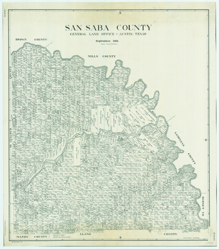
San Saba County

Print $40.00
- Digital $50.00
San Saba County
1918
Size 49.0 x 43.0 inches
Map/Doc 63023
Henderson County Working Sketch 12


Print $20.00
- Digital $50.00
Henderson County Working Sketch 12
1915
Size 23.3 x 24.9 inches
Map/Doc 66145
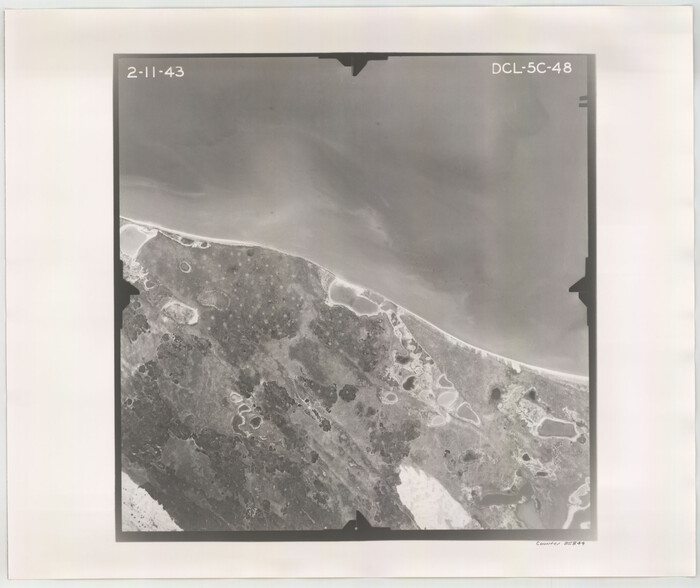
Flight Mission No. DCL-5C, Frame 48, Kenedy County

Print $20.00
- Digital $50.00
Flight Mission No. DCL-5C, Frame 48, Kenedy County
1943
Size 18.6 x 22.2 inches
Map/Doc 85844
Flight Mission No. CRE-3R, Frame 40, Jackson County


Print $20.00
- Digital $50.00
Flight Mission No. CRE-3R, Frame 40, Jackson County
1956
Size 18.6 x 22.3 inches
Map/Doc 85387
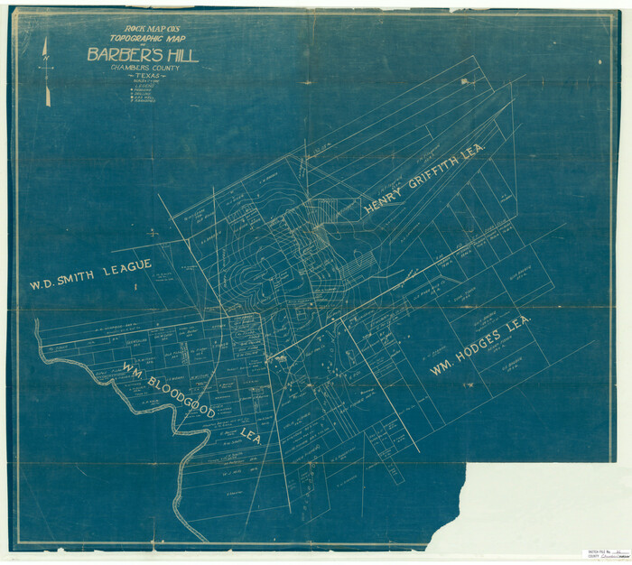
Chambers County Sketch File 21

Print $20.00
- Digital $50.00
Chambers County Sketch File 21
Size 29.3 x 32.8 inches
Map/Doc 10331
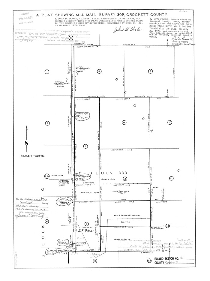
Crockett County Rolled Sketch 89

Print $20.00
- Digital $50.00
Crockett County Rolled Sketch 89
1974
Size 21.1 x 15.8 inches
Map/Doc 5630
Primary Transportation Routes through Mexican Texas


Primary Transportation Routes through Mexican Texas
2024
Size 11.0 x 8.5 inches
Map/Doc 97463
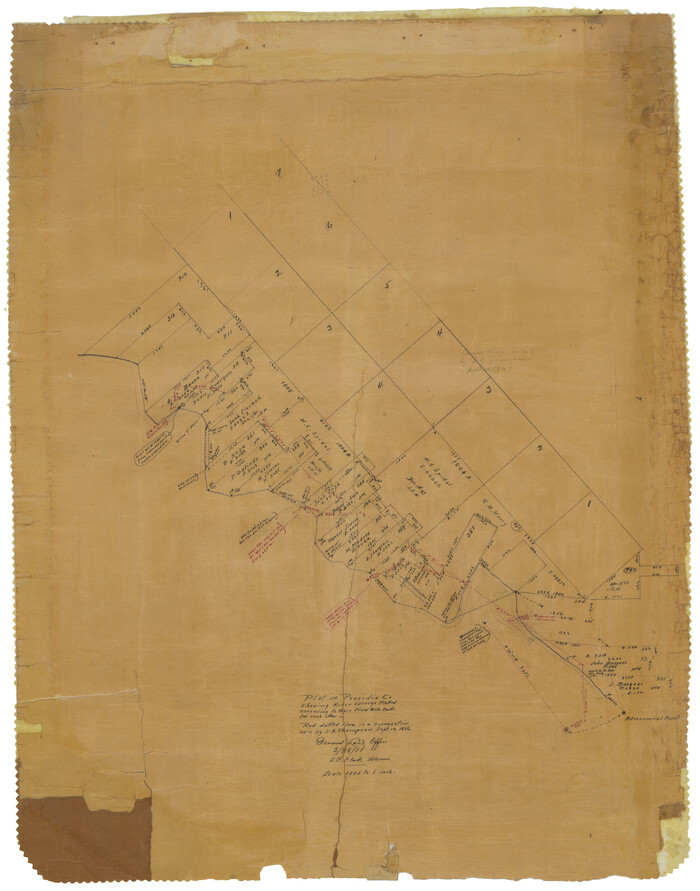
Presidio County Rolled Sketch 53

Print $20.00
- Digital $50.00
Presidio County Rolled Sketch 53
1911
Size 23.9 x 18.2 inches
Map/Doc 7347
Wheeler County Working Sketch 2


Print $40.00
- Digital $50.00
Wheeler County Working Sketch 2
1957
Size 35.2 x 58.5 inches
Map/Doc 72491
Lamb County Rolled Sketch 9


Print $20.00
- Digital $50.00
Lamb County Rolled Sketch 9
Size 44.7 x 27.9 inches
Map/Doc 9417
![91559, [Leagues 464-467 and vicinity], Twichell Survey Records](https://historictexasmaps.com/wmedia_w1800h1800/maps/91559-1.tif.jpg)
