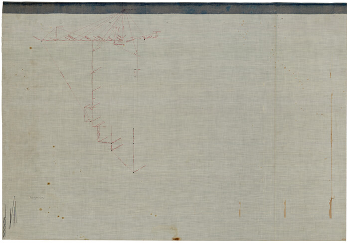
[Sketch of surveys around W.T. Brewer]
129-11
-
Map/Doc
89926
-
Collection
Twichell Survey Records
-
Counties
Kaufman
-
Height x Width
37.0 x 48.7 inches
94.0 x 123.7 cm
Part of: Twichell Survey Records
Map of Wolters Addition to Big Lake Reagan County, Texas Showing the Original Townsite of Big Lake and Japson's Addition


Print $40.00
- Digital $50.00
Map of Wolters Addition to Big Lake Reagan County, Texas Showing the Original Townsite of Big Lake and Japson's Addition
1948
Size 42.4 x 49.6 inches
Map/Doc 89712
[Part of Block XR along New Mexico State Line]
![90665, [Part of Block XR along New Mexico State Line], Twichell Survey Records](https://historictexasmaps.com/wmedia_w700/maps/90665-1.tif.jpg)
![90665, [Part of Block XR along New Mexico State Line], Twichell Survey Records](https://historictexasmaps.com/wmedia_w700/maps/90665-1.tif.jpg)
Print $20.00
- Digital $50.00
[Part of Block XR along New Mexico State Line]
Size 22.2 x 5.5 inches
Map/Doc 90665
Plat in Pecos County, Texas


Print $20.00
- Digital $50.00
Plat in Pecos County, Texas
Size 38.7 x 37.5 inches
Map/Doc 89834
[Surveys South of Levi Pruitt and Jno. Welch]
![92091, [Surveys South of Levi Pruitt and Jno. Welch], Twichell Survey Records](https://historictexasmaps.com/wmedia_w700/maps/92091-1.tif.jpg)
![92091, [Surveys South of Levi Pruitt and Jno. Welch], Twichell Survey Records](https://historictexasmaps.com/wmedia_w700/maps/92091-1.tif.jpg)
Print $20.00
- Digital $50.00
[Surveys South of Levi Pruitt and Jno. Welch]
Size 18.2 x 6.3 inches
Map/Doc 92091
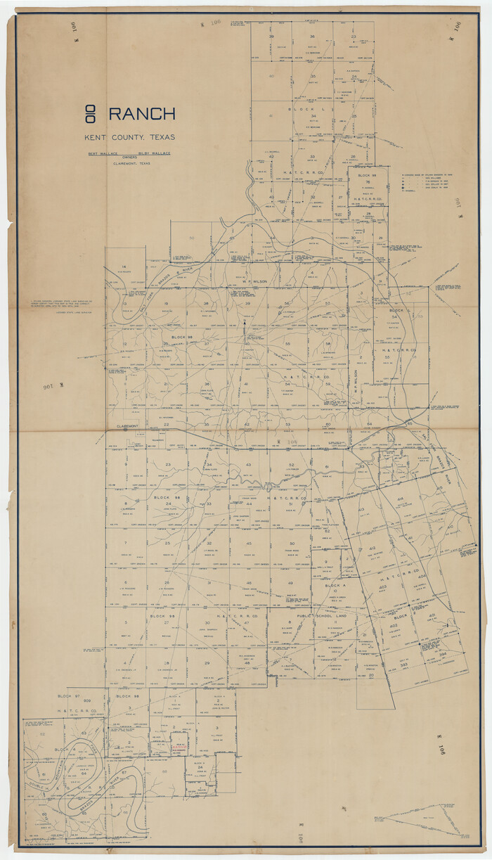
'O Bar O' Ranch

Print $40.00
- Digital $50.00
'O Bar O' Ranch
1946
Size 46.2 x 80.7 inches
Map/Doc 93209
[Sketch showing positions of surveys bordering on South boundary line of Archer County and North boundary line of Young County


Print $20.00
- Digital $50.00
[Sketch showing positions of surveys bordering on South boundary line of Archer County and North boundary line of Young County
1894
Size 14.0 x 36.8 inches
Map/Doc 90174
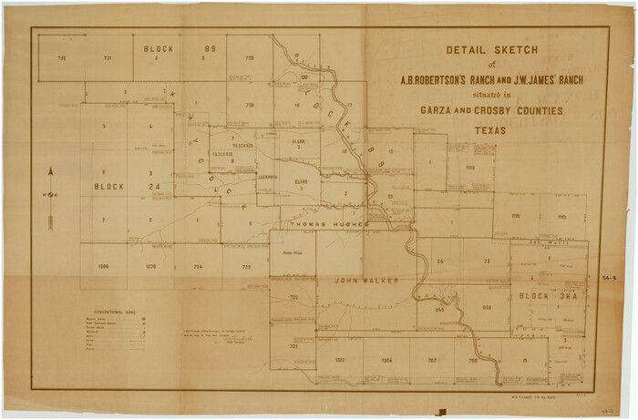
Detail Sketch of A.B. Robertson's Ranch and J.W. James' Ranch situated in Garza and Crosby Counties, Texas

Print $40.00
- Digital $50.00
Detail Sketch of A.B. Robertson's Ranch and J.W. James' Ranch situated in Garza and Crosby Counties, Texas
Size 51.7 x 34.3 inches
Map/Doc 89754
[Parts of PSL Blocks B18, B19, B28, B20 and B29]
![91952, [Parts of PSL Blocks B18, B19, B28, B20 and B29], Twichell Survey Records](https://historictexasmaps.com/wmedia_w700/maps/91952-1.tif.jpg)
![91952, [Parts of PSL Blocks B18, B19, B28, B20 and B29], Twichell Survey Records](https://historictexasmaps.com/wmedia_w700/maps/91952-1.tif.jpg)
Print $20.00
- Digital $50.00
[Parts of PSL Blocks B18, B19, B28, B20 and B29]
Size 21.4 x 28.0 inches
Map/Doc 91952
You may also like
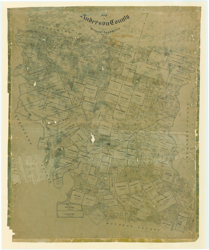
Map of Anderson County

Print $40.00
- Digital $50.00
Map of Anderson County
1895
Size 48.2 x 40.2 inches
Map/Doc 4782
Maps of Gulf Intracoastal Waterway, Texas - Sabine River to the Rio Grande and connecting waterways including ship channels


Print $20.00
- Digital $50.00
Maps of Gulf Intracoastal Waterway, Texas - Sabine River to the Rio Grande and connecting waterways including ship channels
1966
Size 14.5 x 22.4 inches
Map/Doc 61951
Travis County Sketch File 22


Print $6.00
- Digital $50.00
Travis County Sketch File 22
1875
Size 8.5 x 8.5 inches
Map/Doc 38327
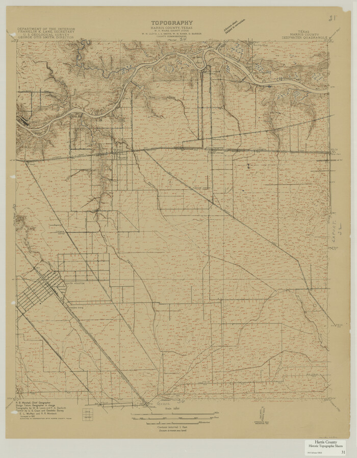
Harris County Historic Topographic 31

Print $20.00
- Digital $50.00
Harris County Historic Topographic 31
1915
Size 29.2 x 22.7 inches
Map/Doc 65842
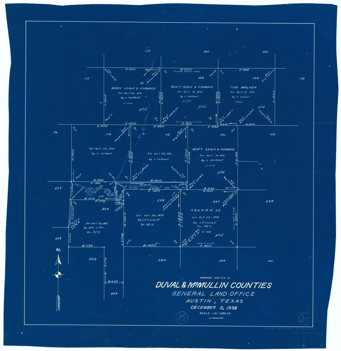
Duval County Working Sketch 15

Print $20.00
- Digital $50.00
Duval County Working Sketch 15
1938
Size 23.3 x 22.7 inches
Map/Doc 68728
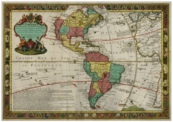
L'Amerique Meridionale et Septentrionale

Print $20.00
- Digital $50.00
L'Amerique Meridionale et Septentrionale
1731
Size 20.0 x 28.3 inches
Map/Doc 93825
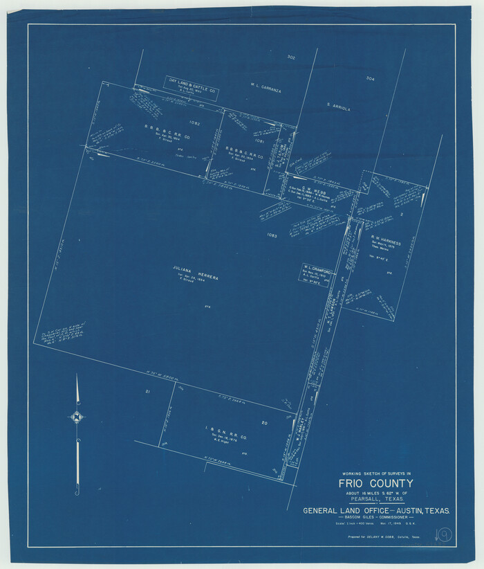
Frio County Working Sketch 9

Print $20.00
- Digital $50.00
Frio County Working Sketch 9
1949
Size 30.1 x 25.6 inches
Map/Doc 69283
Travels to the source of the Missouri River and across the American Continent to the Pacific Ocean - Vol. 2


Travels to the source of the Missouri River and across the American Continent to the Pacific Ocean - Vol. 2
1815
Map/Doc 97413
Young County Working Sketch 1


Print $20.00
- Digital $50.00
Young County Working Sketch 1
1960
Size 31.1 x 41.9 inches
Map/Doc 62024
Presidio County Working Sketch 130
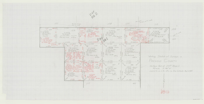

Print $20.00
- Digital $50.00
Presidio County Working Sketch 130
1989
Size 22.1 x 43.1 inches
Map/Doc 71808
Van Zandt County Working Sketch 12
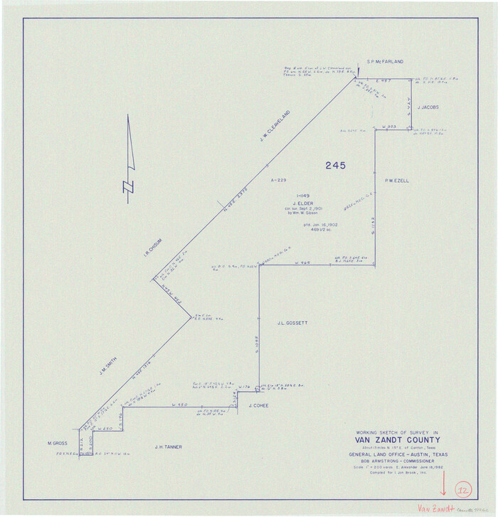

Print $20.00
- Digital $50.00
Van Zandt County Working Sketch 12
1982
Size 21.5 x 20.7 inches
Map/Doc 72262
Map of Starr County
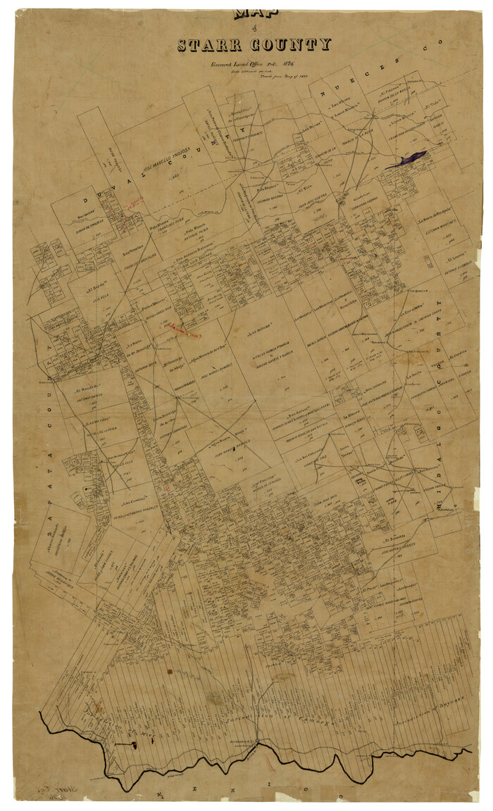

Print $20.00
- Digital $50.00
Map of Starr County
1896
Size 43.7 x 26.9 inches
Map/Doc 4050
![89926, [Sketch of surveys around W.T. Brewer], Twichell Survey Records](https://historictexasmaps.com/wmedia_w1800h1800/maps/89926-1.tif.jpg)

