Kaufman County State Real Property Sketch 1
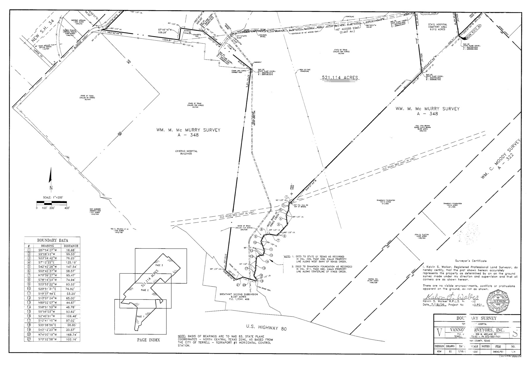
Field Notes and a Survey of 521.114 Acres of Land in Survey A - 516, A - 562, Survey, A - 521, Survey, A - 164 and Survey, A - 348; Terrell State Hospital
-
Map/Doc
88624
-
Collection
General Map Collection
-
Object Dates
2006/7/18 (Creation Date)
-
People and Organizations
Vannoy Surveyors, Inc. (Publisher)
Vannoy Surveyors, Inc. (Printer)
KSW (Compiler)
EC (Draftsman)
Kalvin S. Walker (Surveyor/Engineer)
-
Counties
Kaufman
-
Subjects
State Real Property
-
Height x Width
24.6 x 35.4 inches
62.5 x 89.9 cm
-
Comments
Surveys located about 11 miles North 15 degrees East of Kaufman, Texas.
Part of: General Map Collection
Flight Mission No. CGI-3N, Frame 72, Cameron County

Print $20.00
- Digital $50.00
Flight Mission No. CGI-3N, Frame 72, Cameron County
1954
Size 18.5 x 22.3 inches
Map/Doc 84566
San Jacinto County Rolled Sketch 14

Print $20.00
- Digital $50.00
San Jacinto County Rolled Sketch 14
1998
Size 30.0 x 42.7 inches
Map/Doc 7563
City of Austin, Texas and Suburban Territory

Print $40.00
- Digital $50.00
City of Austin, Texas and Suburban Territory
1952
Size 47.8 x 53.0 inches
Map/Doc 73583
Flight Mission No. BRA-16M, Frame 76, Jefferson County

Print $20.00
- Digital $50.00
Flight Mission No. BRA-16M, Frame 76, Jefferson County
1953
Size 18.6 x 22.3 inches
Map/Doc 85693
Map of Eastland Co.

Print $20.00
- Digital $50.00
Map of Eastland Co.
1896
Size 43.1 x 44.2 inches
Map/Doc 4937
Cass County Sketch File 18

Print $4.00
- Digital $50.00
Cass County Sketch File 18
Size 7.4 x 10.3 inches
Map/Doc 17420
Parker County Sketch File 28

Print $6.00
- Digital $50.00
Parker County Sketch File 28
1876
Size 15.7 x 10.2 inches
Map/Doc 33568
Angelina County

Print $40.00
- Digital $50.00
Angelina County
1945
Size 40.2 x 49.7 inches
Map/Doc 95417
Hopkins County Sketch File 9

Print $6.00
- Digital $50.00
Hopkins County Sketch File 9
1856
Size 12.8 x 8.3 inches
Map/Doc 26697
Tom Green County

Print $20.00
- Digital $50.00
Tom Green County
1942
Size 43.5 x 24.8 inches
Map/Doc 77437
Harris County Sketch File 46

Print $6.00
- Digital $50.00
Harris County Sketch File 46
1906
Size 8.8 x 13.7 inches
Map/Doc 25443
Culberson County Sketch File 30

Print $22.00
- Digital $50.00
Culberson County Sketch File 30
1950
Size 14.2 x 8.7 inches
Map/Doc 20282
You may also like
Kimble County Rolled Sketch 31

Print $20.00
- Digital $50.00
Kimble County Rolled Sketch 31
Size 21.1 x 27.4 inches
Map/Doc 6521
Collingsworth County Sketch File 11

Print $32.00
- Digital $50.00
Collingsworth County Sketch File 11
1991
Size 11.2 x 8.6 inches
Map/Doc 18893
Houston County Working Sketch 1

Print $20.00
- Digital $50.00
Houston County Working Sketch 1
Size 20.6 x 15.6 inches
Map/Doc 66231

Galveston County Sketch File 73g

Print $20.00
- Digital $50.00
Galveston County Sketch File 73g
Size 32.1 x 41.2 inches
Map/Doc 10460
Dallas County Working Sketch 19

Print $20.00
- Digital $50.00
Dallas County Working Sketch 19
1997
Size 23.1 x 30.3 inches
Map/Doc 68585
Hudspeth County Working Sketch 32a

Print $40.00
- Digital $50.00
Hudspeth County Working Sketch 32a
1975
Size 57.4 x 39.3 inches
Map/Doc 66317
Pecos County Rolled Sketch 153

Print $20.00
- Digital $50.00
Pecos County Rolled Sketch 153
1960
Size 20.2 x 22.7 inches
Map/Doc 7282
Hardin County Sketch File 55

Print $40.00
- Digital $50.00
Hardin County Sketch File 55
1924
Size 14.2 x 13.3 inches
Map/Doc 25220
Polk County Sketch File 25

Print $46.00
- Digital $50.00
Polk County Sketch File 25
Size 5.7 x 28.2 inches
Map/Doc 34176
North Sulphur River, Bartley Gin Sheet

Print $20.00
- Digital $50.00
North Sulphur River, Bartley Gin Sheet
1928
Size 13.3 x 22.0 inches
Map/Doc 78323
Polk County Working Sketch 30

Print $20.00
- Digital $50.00
Polk County Working Sketch 30
1960
Size 18.2 x 24.4 inches
Map/Doc 71646