[Map of Area near Alamo showing proposed fortifications]
- 
                          Map/Doc
88603
 - 
                            Collection
National Archives Digital Map Collection
 - 
                            Object Dates
1863 (Creation Date)
 - 
                            People and Organizations
War Department, Office of the Chief of Engineers (Publisher)
Gustave Freisleben (Draftsman)
Gustav Schleicher (Draftsman)
 - 
                            Counties
Bexar
 - 
                            Subjects
City Military
 - 
                            Height x Width
31.9 x 27.7 inches
81.0 x 70.4 cm
 - 
                            Medium
digital image
 - 
                            Comments
Map was likely created by Gustav Schleicher, an engineer for the Confederate Army, using a base map likely drawn by Gustave Freisleben, San Antonio City Engineer.
Item is located at the National Archives, NA Identifier: 109182164 
Part of: National Archives Digital Map Collection
            Reconnoissance of Sabine River and Valley
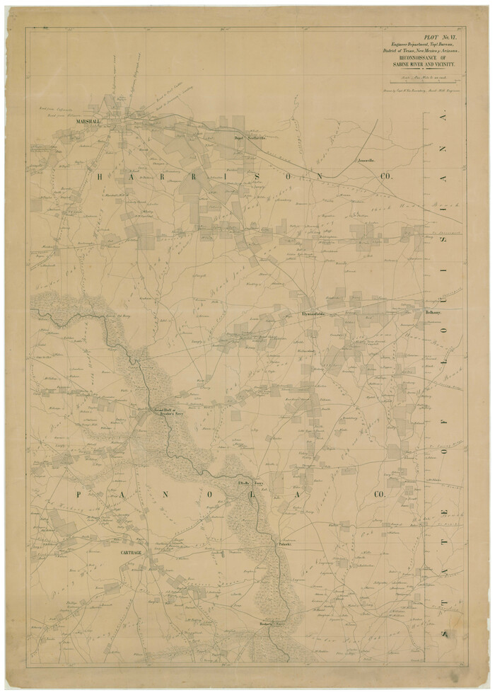


                                            Print $20.00                    
                                    
                Reconnoissance of Sabine River and Valley
1863
Size 42.5 x 30.3 inches
                                Map/Doc 97500
            
            Map of Pass Cavallo, Texas, Showing the position of the Rebel fortifications and rifle pits.
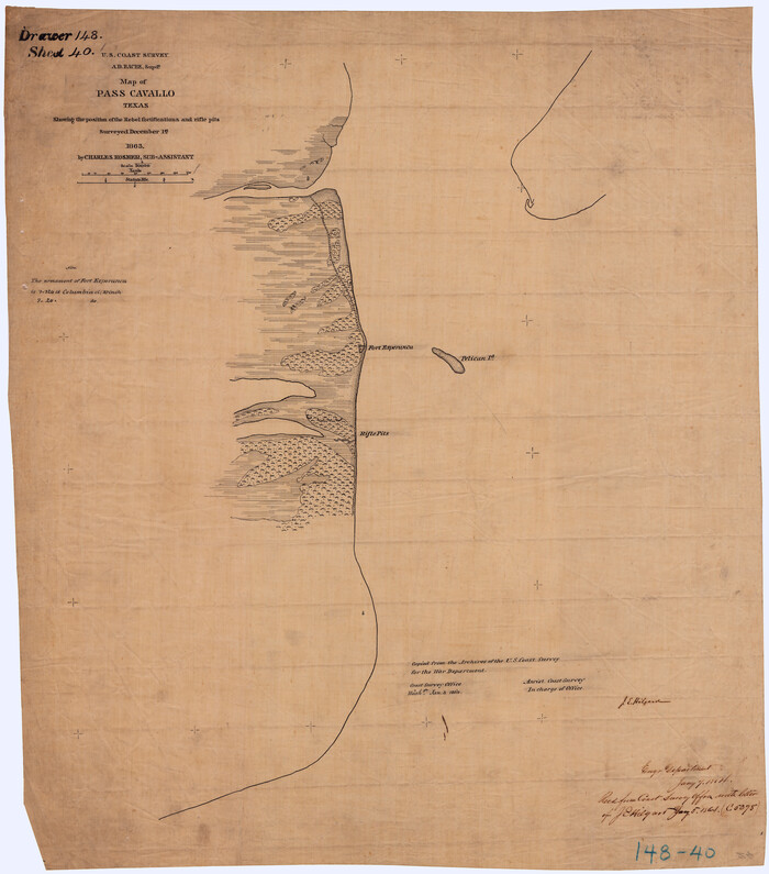


                                            Print $20.00                    
                                    
                Map of Pass Cavallo, Texas, Showing the position of the Rebel fortifications and rifle pits.
1863
Size 23.8 x 21.0 inches
                                Map/Doc 88595
            
            Reconnoissance of Sabine River and Vicinty
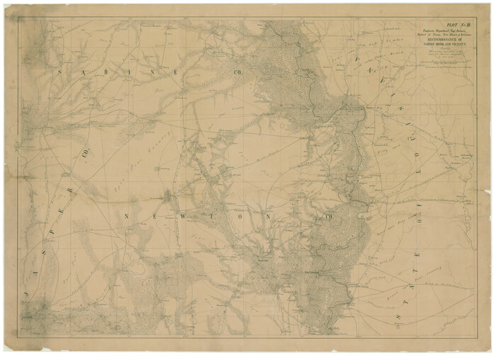


                                            Print $20.00                    
                                    
                Reconnoissance of Sabine River and Vicinty
1863
Size 30.4 x 42.3 inches
                                Map/Doc 97497
            
            Reconnoissance of Sabine River and Valley
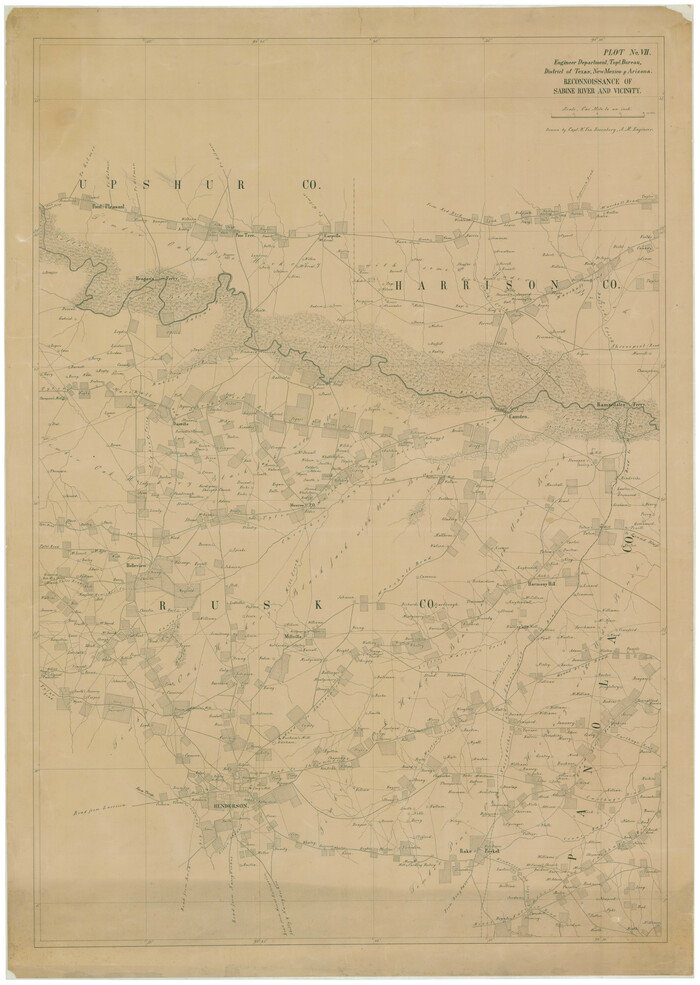


                                            Print $20.00                    
                                    
                Reconnoissance of Sabine River and Valley
1863
Size 42.3 x 30.0 inches
                                Map/Doc 97501
            
            Topographical Map of the country between San Antonio & Colorado Rivers in the State of Texas.


                                            Print $40.00                    
                                    
                Topographical Map of the country between San Antonio & Colorado Rivers in the State of Texas.
1864
Size 53.4 x 69.8 inches
                                Map/Doc 88605
            
            Map of Galveston, Texas, Showing the Rebel Line of Works.  Surveyed and Drawn by Order of G.L. Gillespie, Brevet Major and Chief Engr., Mil. Div. of the Gulf, Under the Direction of Lt. S.E. McGregory, Comdg. Topl. Party, by Pl. St. Vignes, Asst.
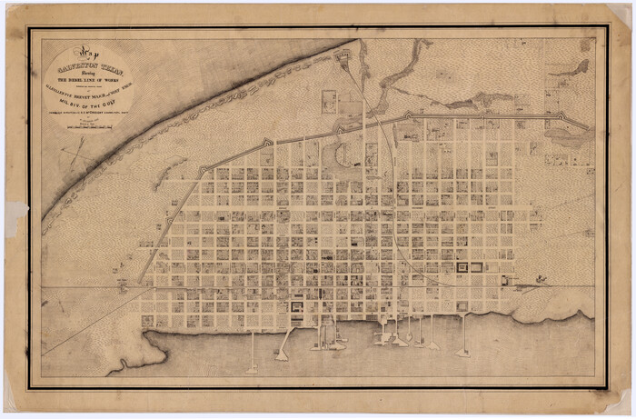


                                            Print $20.00                    
                                    
                Map of Galveston, Texas, Showing the Rebel Line of Works. Surveyed and Drawn by Order of G.L. Gillespie, Brevet Major and Chief Engr., Mil. Div. of the Gulf, Under the Direction of Lt. S.E. McGregory, Comdg. Topl. Party, by Pl. St. Vignes, Asst.
1861
Size 25.3 x 38.7 inches
                                Map/Doc 88594
            
            Map of Works of Defense near Gonzales, Tex.
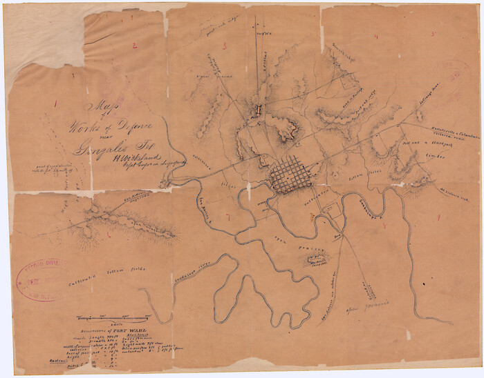


                                            Print $20.00                    
                                    
                Map of Works of Defense near Gonzales, Tex.
1863
Size 17.1 x 21.8 inches
                                Map/Doc 88598
            
            [Plan for Fort Waul near Gonzales, Texas]


                                            Print $20.00                    
                                    
                [Plan for Fort Waul near Gonzales, Texas]
1863
Size 12.3 x 20.3 inches
                                Map/Doc 88600
            
            Eastern and Central Texas, Prepared by Order of Maj. Gen. N.P. Banks. Major D.C. Houston, Chief of Engineers
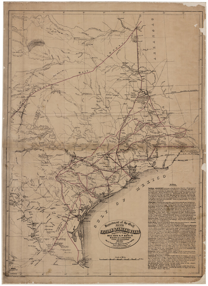


                                            Print $20.00                    
                                    
                Eastern and Central Texas, Prepared by Order of Maj. Gen. N.P. Banks. Major D.C. Houston, Chief of Engineers
1864
Size 32.6 x 23.7 inches
                                Map/Doc 88596
            
            Topographical Map of the country between San Antonio & Colorado Rivers in the State of Texas.
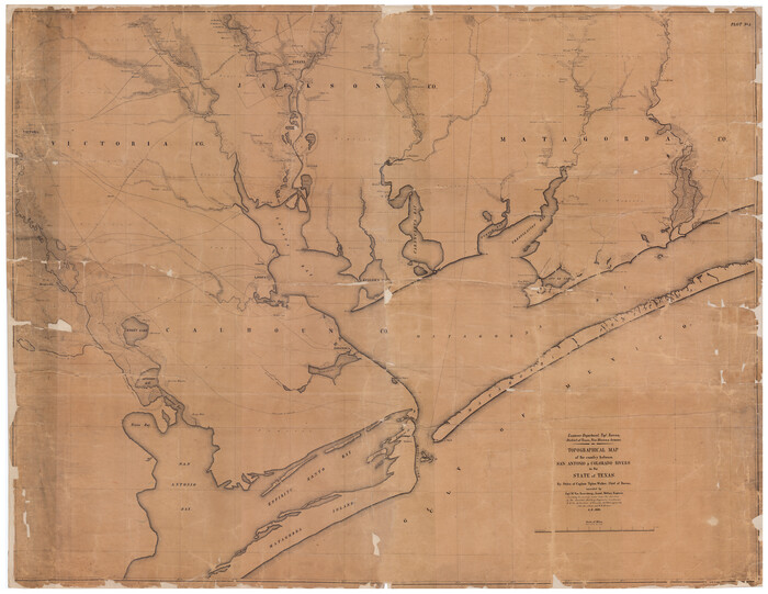


                                            Print $40.00                    
                                    
                Topographical Map of the country between San Antonio & Colorado Rivers in the State of Texas.
1864
Size 53.3 x 69.2 inches
                                Map/Doc 88604
            
            Reconnoissance of Sabine River and Valley


                                            Print $20.00                    
                                    
                Reconnoissance of Sabine River and Valley
1863
Size 30.2 x 42.3 inches
                                Map/Doc 97499
            
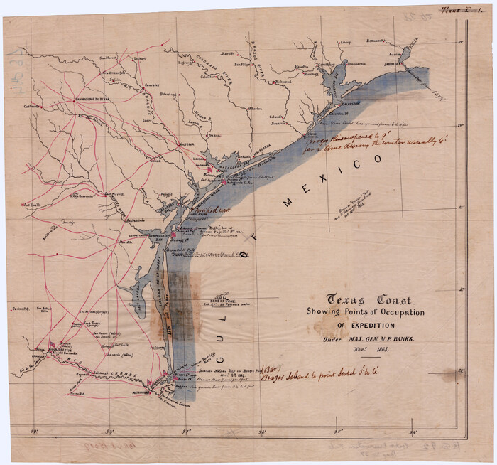
            Texas Coast Showing Points of Occupation of Expedition Under Maj. Gen.  N.P. Banks, Novr. 1863


                                            Print $20.00                    
                                    
                Texas Coast Showing Points of Occupation of Expedition Under Maj. Gen. N.P. Banks, Novr. 1863
1863
Size 16.0 x 17.1 inches
                                Map/Doc 88593
            You may also like
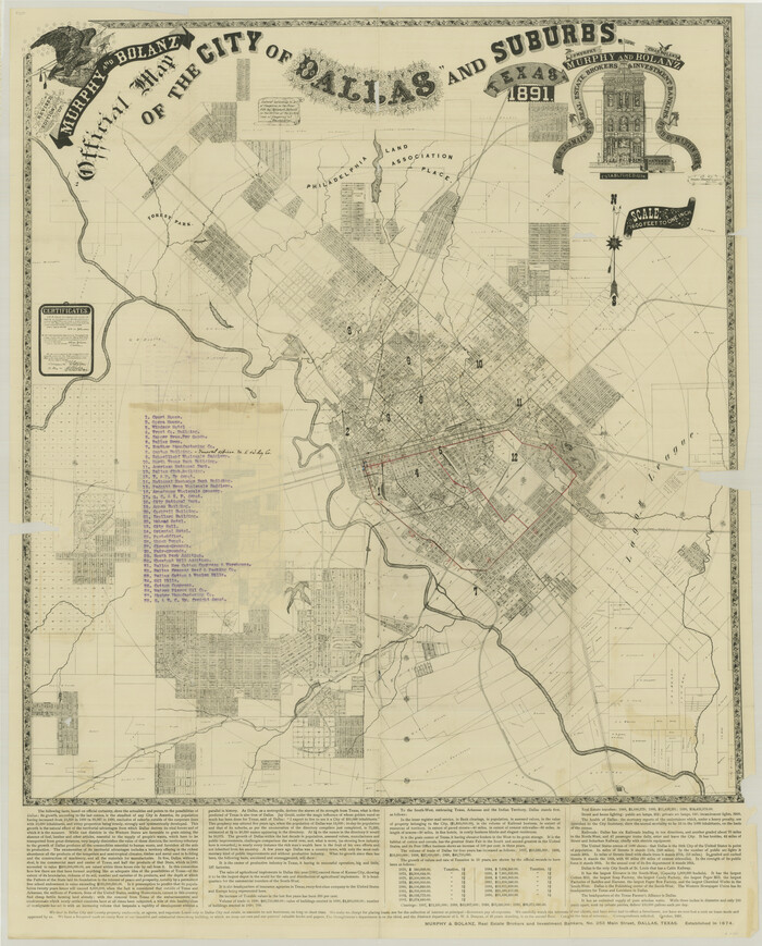
            Revised Edition of Murphy and Bolanz Official Map of the City of Dallas and Suburbs


                                            Print $20.00                    
                                    
                Revised Edition of Murphy and Bolanz Official Map of the City of Dallas and Suburbs
1891
Size 37.9 x 30.6 inches
                                Map/Doc 76274
            
            Van Zandt County Sketch File 37


                                            Print $4.00                    
                                             -                         Digital $50.00                                    
                Van Zandt County Sketch File 37
1861
Size 12.2 x 7.8 inches
                                Map/Doc 39480
            
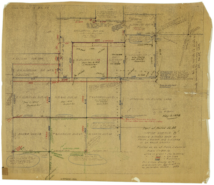
            La Salle County Rolled Sketch 14B


                                            Print $20.00                    
                                             -                         Digital $50.00                                    
                La Salle County Rolled Sketch 14B
Size 20.7 x 23.0 inches
                                Map/Doc 6578
            
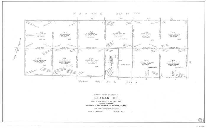
            Reagan County Working Sketch 39


                                            Print $20.00                    
                                             -                         Digital $50.00                                    
                Reagan County Working Sketch 39
1971
Size 22.5 x 36.1 inches
                                Map/Doc 71881
            
            Stonewall County
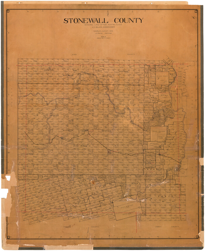


                                            Print $20.00                    
                                             -                         Digital $50.00                                    
                Stonewall County
1933
Size 47.6 x 39.5 inches
                                Map/Doc 73295
            
            [Stone, Kyle and Kyle Block M6]


                                            Print $20.00                    
                                             -                         Digital $50.00                                    
                [Stone, Kyle and Kyle Block M6]
Size 26.8 x 21.6 inches
                                Map/Doc 90395
            
            Mexican Boundary B. - Extract from the Treaty Map of Disturnell of 1847 referred to in Col. Graham's report to the Hon. The Secretary of the Interior of Aug. 16th, 1851
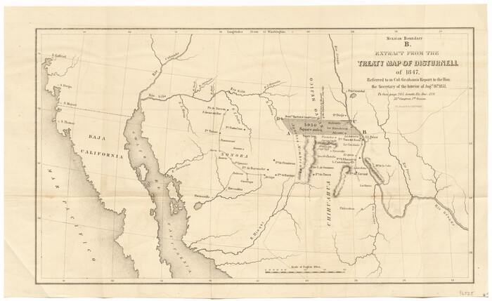


                                            Print $20.00                    
                                             -                         Digital $50.00                                    
                Mexican Boundary B. - Extract from the Treaty Map of Disturnell of 1847 referred to in Col. Graham's report to the Hon. The Secretary of the Interior of Aug. 16th, 1851
Size 10.1 x 16.5 inches
                                Map/Doc 96525
            
            Val Verde County Working Sketch 40


                                            Print $20.00                    
                                             -                         Digital $50.00                                    
                Val Verde County Working Sketch 40
1943
Size 31.5 x 29.8 inches
                                Map/Doc 72175
            
            Mapa que comprende la Frontera de los Dominios del Rey, en la America Septentrional, segun el original que hizo D. Joseph de Urrutia, sobre varios puntos observados por él, y el Capitan de Yngenieros D. Nicolas Lafora


                                            Print $40.00                    
                                    
                Mapa que comprende la Frontera de los Dominios del Rey, en la America Septentrional, segun el original que hizo D. Joseph de Urrutia, sobre varios puntos observados por él, y el Capitan de Yngenieros D. Nicolas Lafora
1769
Size 50.9 x 128.2 inches
                                Map/Doc 95711
            
            Nueces County Rolled Sketch 46


                                            Print $45.00                    
                                             -                         Digital $50.00                                    
                Nueces County Rolled Sketch 46
Size 10.2 x 15.1 inches
                                Map/Doc 47859
            
            Dickens County Sketch File 20
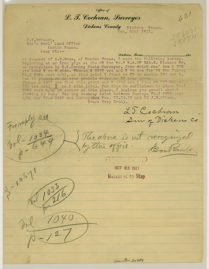


                                            Print $2.00                    
                                             -                         Digital $50.00                                    
                Dickens County Sketch File 20
1911
Size 11.5 x 8.9 inches
                                Map/Doc 20984
            
            Andrews County Rolled Sketch 18
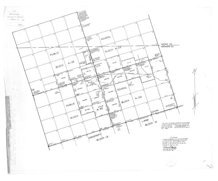


                                            Print $20.00                    
                                             -                         Digital $50.00                                    
                Andrews County Rolled Sketch 18
1942
Size 26.0 x 31.3 inches
                                Map/Doc 8394