El Paso County Rolled Sketch JE
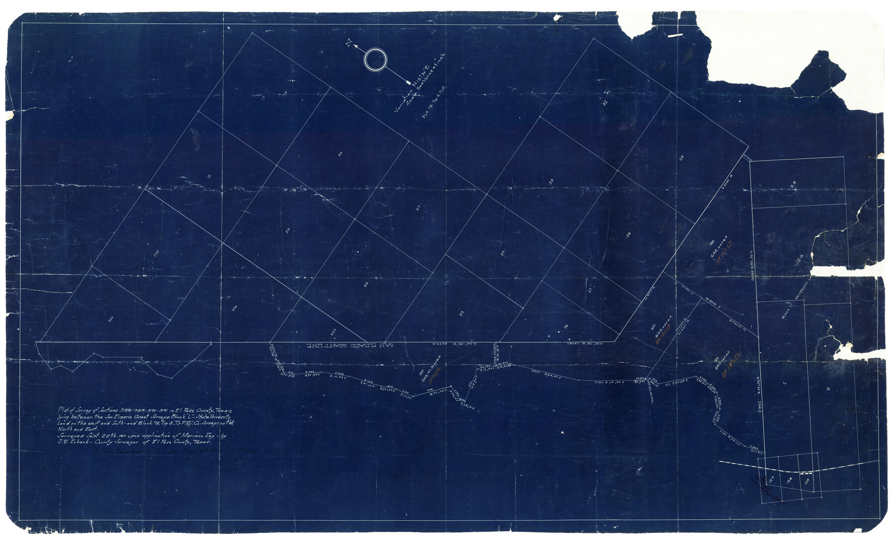
Plat of survey of sections 388-389-390-391 in El Paso County, Texas, lying between the San Elizario Grant survey & Block L - State University Land on the west and south - and Block 78, Tsp 4, T. & P. Ry. Co. surveys on the north and east
-
Map/Doc
8860
-
Collection
General Map Collection
-
Object Dates
9/26/1911 (Creation Date)
-
People and Organizations
J.W. Eubank (Surveyor/Engineer)
-
Counties
El Paso
-
Subjects
Surveying Rolled Sketch
-
Height x Width
27.4 x 45.5 inches
69.6 x 115.6 cm
-
Medium
blueprint/diazo
-
Scale
1" = 500 varas
Part of: General Map Collection
Gaines County Working Sketch 34

Print $20.00
- Digital $50.00
Gaines County Working Sketch 34
1990
Size 21.0 x 20.2 inches
Map/Doc 69334
Neel's Creek of North Bosque

Print $2.00
- Digital $50.00
Neel's Creek of North Bosque
1847
Size 8.9 x 7.9 inches
Map/Doc 69755
Eastland County Working Sketch 61

Print $20.00
- Digital $50.00
Eastland County Working Sketch 61
1989
Size 35.4 x 41.0 inches
Map/Doc 68842
Northwest Part of Webb County

Print $40.00
- Digital $50.00
Northwest Part of Webb County
1984
Size 42.0 x 50.2 inches
Map/Doc 77454
Sutton County Sketch File JT

Print $12.00
- Digital $50.00
Sutton County Sketch File JT
Size 14.4 x 8.6 inches
Map/Doc 37453
Cass County Working Sketch 8

Print $20.00
- Digital $50.00
Cass County Working Sketch 8
1937
Size 20.2 x 16.1 inches
Map/Doc 67911
La Salle County

Print $20.00
- Digital $50.00
La Salle County
1923
Size 47.5 x 42.5 inches
Map/Doc 73215
Flight Mission No. CRC-1R, Frame 93, Chambers County

Print $20.00
- Digital $50.00
Flight Mission No. CRC-1R, Frame 93, Chambers County
1956
Size 18.7 x 22.6 inches
Map/Doc 84708
Kaufman County Boundary File 5a

Print $28.00
- Digital $50.00
Kaufman County Boundary File 5a
Size 14.2 x 8.8 inches
Map/Doc 55951
Current Miscellaneous File 92

Print $22.00
- Digital $50.00
Current Miscellaneous File 92
1990
Size 11.2 x 8.8 inches
Map/Doc 74265
Flight Mission No. DQN-5K, Frame 44, Calhoun County

Print $20.00
- Digital $50.00
Flight Mission No. DQN-5K, Frame 44, Calhoun County
1953
Size 18.4 x 22.0 inches
Map/Doc 84389
Matagorda County Working Sketch 1

Print $20.00
- Digital $50.00
Matagorda County Working Sketch 1
Size 24.1 x 17.1 inches
Map/Doc 70859
You may also like
General Highway Map, Harrison County, Texas

Print $20.00
General Highway Map, Harrison County, Texas
1961
Size 18.3 x 24.8 inches
Map/Doc 79509
Flight Mission No. DQN-3K, Frame 71, Calhoun County

Print $20.00
- Digital $50.00
Flight Mission No. DQN-3K, Frame 71, Calhoun County
1953
Size 18.7 x 22.3 inches
Map/Doc 84362
Palo Pinto County Working Sketch 16

Print $20.00
- Digital $50.00
Palo Pinto County Working Sketch 16
1974
Size 35.5 x 42.4 inches
Map/Doc 71399
Map showing those portions of Texas traversed by Rock Island Lines and connections

Print $20.00
- Digital $50.00
Map showing those portions of Texas traversed by Rock Island Lines and connections
1904
Size 15.6 x 12.2 inches
Map/Doc 96588
Hudspeth County Working Sketch 30

Print $40.00
- Digital $50.00
Hudspeth County Working Sketch 30
Size 80.4 x 36.0 inches
Map/Doc 66313
Webb County Working Sketch 54

Print $20.00
- Digital $50.00
Webb County Working Sketch 54
1954
Size 43.1 x 33.6 inches
Map/Doc 72420


[Index map of T. & P. Ry. Company’s 80-mile Trans-Pecos Reserve’s perpetuated corners - South Part]
![69766, [Index map of T. & P. Ry. Company’s 80-mile Trans-Pecos Reserve’s perpetuated corners - South Part], General Map Collection](https://historictexasmaps.com/wmedia_w700/maps/69766.tif.jpg)
Print $40.00
- Digital $50.00
[Index map of T. & P. Ry. Company’s 80-mile Trans-Pecos Reserve’s perpetuated corners - South Part]
Size 23.1 x 90.1 inches
Map/Doc 69766
Kimble County Working Sketch 5

Print $20.00
- Digital $50.00
Kimble County Working Sketch 5
1915
Size 17.0 x 13.4 inches
Map/Doc 70073
Texas City Channel, Texas, Channel and Turning Basin Dredging - Sheet 6

Print $20.00
- Digital $50.00
Texas City Channel, Texas, Channel and Turning Basin Dredging - Sheet 6
1958
Size 28.6 x 40.6 inches
Map/Doc 61836