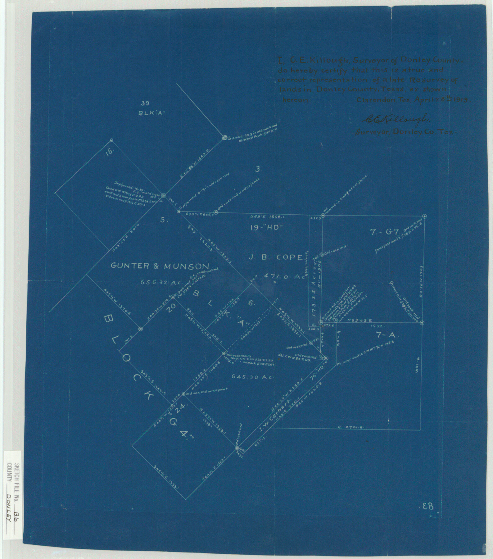
Donley County Sketch File B6
[Sketch of surveys west of Clarendon]
-
Map/Doc
11376
-
Collection
General Map Collection
-
Object Dates
4/28/1919 (Creation Date)
-
People and Organizations
C.E. Killough (Surveyor/Engineer)
-
Counties
Donley
-
Subjects
Surveying Sketch File
-
Height x Width
16.5 x 14.6 inches
41.9 x 37.1 cm
-
Medium
blueprint/diazo
Part of: General Map Collection
Brazoria County NRC Article 33.136 Sketch 4

Print $22.00
- Digital $50.00
Brazoria County NRC Article 33.136 Sketch 4
2003
Size 24.3 x 35.8 inches
Map/Doc 80120
Flight Mission No. DCL-4C, Frame 66, Kenedy County

Print $20.00
- Digital $50.00
Flight Mission No. DCL-4C, Frame 66, Kenedy County
1943
Size 18.6 x 22.3 inches
Map/Doc 85811
Moore County Working Sketch 2

Print $20.00
- Digital $50.00
Moore County Working Sketch 2
1934
Size 18.3 x 41.3 inches
Map/Doc 71184
Map of Wood County

Print $20.00
- Digital $50.00
Map of Wood County
1857
Size 22.5 x 29.1 inches
Map/Doc 4165
Andrews County Sketch File 9

Print $8.00
- Digital $50.00
Andrews County Sketch File 9
1949
Size 14.2 x 8.6 inches
Map/Doc 12853
Outer Continental Shelf Leasing Maps (Louisiana Offshore Operations)

Print $20.00
- Digital $50.00
Outer Continental Shelf Leasing Maps (Louisiana Offshore Operations)
1954
Size 15.8 x 10.0 inches
Map/Doc 76109
Texas & Pacific Railway, Longview to Dallas

Print $40.00
- Digital $50.00
Texas & Pacific Railway, Longview to Dallas
1873
Size 14.8 x 100.8 inches
Map/Doc 64099
Grimes County

Print $20.00
- Digital $50.00
Grimes County
1922
Size 47.0 x 29.8 inches
Map/Doc 73164
Texas for Tourists, a highway and reference map published by the Dallas Morning News for the Texas Almanac and State Industrial Guide

Texas for Tourists, a highway and reference map published by the Dallas Morning News for the Texas Almanac and State Industrial Guide
1936
Size 20.3 x 26.4 inches
Map/Doc 94294
Wise County Sketch File 41

Print $4.00
- Digital $50.00
Wise County Sketch File 41
1875
Size 12.8 x 8.1 inches
Map/Doc 40599
[Travis Station Map - Tracks and Structures - Lands. San Antonio & Aransas Pass Railway Co.]
![62564, [Travis Station Map - Tracks and Structures - Lands. San Antonio & Aransas Pass Railway Co.], General Map Collection](https://historictexasmaps.com/wmedia_w700/maps/62564.tif.jpg)
Print $4.00
- Digital $50.00
[Travis Station Map - Tracks and Structures - Lands. San Antonio & Aransas Pass Railway Co.]
1919
Size 11.7 x 18.7 inches
Map/Doc 62564
Jack County Sketch File 24

Print $4.00
- Digital $50.00
Jack County Sketch File 24
1880
Size 8.3 x 9.5 inches
Map/Doc 27561
You may also like
Stonewall County

Print $20.00
- Digital $50.00
Stonewall County
1889
Size 19.6 x 24.3 inches
Map/Doc 91883
Culberson County Sketch File EM

Print $7.00
- Digital $50.00
Culberson County Sketch File EM
Size 36.2 x 40.3 inches
Map/Doc 10359
Walker County Working Sketch 5

Print $20.00
- Digital $50.00
Walker County Working Sketch 5
1934
Size 24.5 x 30.8 inches
Map/Doc 72285
Ward County Rolled Sketch 18

Print $20.00
- Digital $50.00
Ward County Rolled Sketch 18
1949
Size 31.6 x 34.0 inches
Map/Doc 10109
Jefferson Co.

Print $40.00
- Digital $50.00
Jefferson Co.
1978
Size 48.2 x 42.7 inches
Map/Doc 73196
Presidio County Sketch File 73

Print $11.00
- Digital $50.00
Presidio County Sketch File 73
1944
Size 11.4 x 8.8 inches
Map/Doc 34682
Reagan County Working Sketch 49

Print $20.00
- Digital $50.00
Reagan County Working Sketch 49
1990
Size 40.4 x 25.2 inches
Map/Doc 71892
Brazoria County Working Sketch 39

Print $40.00
- Digital $50.00
Brazoria County Working Sketch 39
1981
Size 74.6 x 44.1 inches
Map/Doc 67524
Anderson County Rolled Sketch 9

Print $20.00
- Digital $50.00
Anderson County Rolled Sketch 9
Size 34.7 x 23.6 inches
Map/Doc 77156

Map of the City of Austin

Print $20.00
Map of the City of Austin
1910
Size 24.0 x 18.0 inches
Map/Doc 90071
Liberty County Working Sketch 1

Print $20.00
- Digital $50.00
Liberty County Working Sketch 1
Size 26.5 x 29.7 inches
Map/Doc 70460