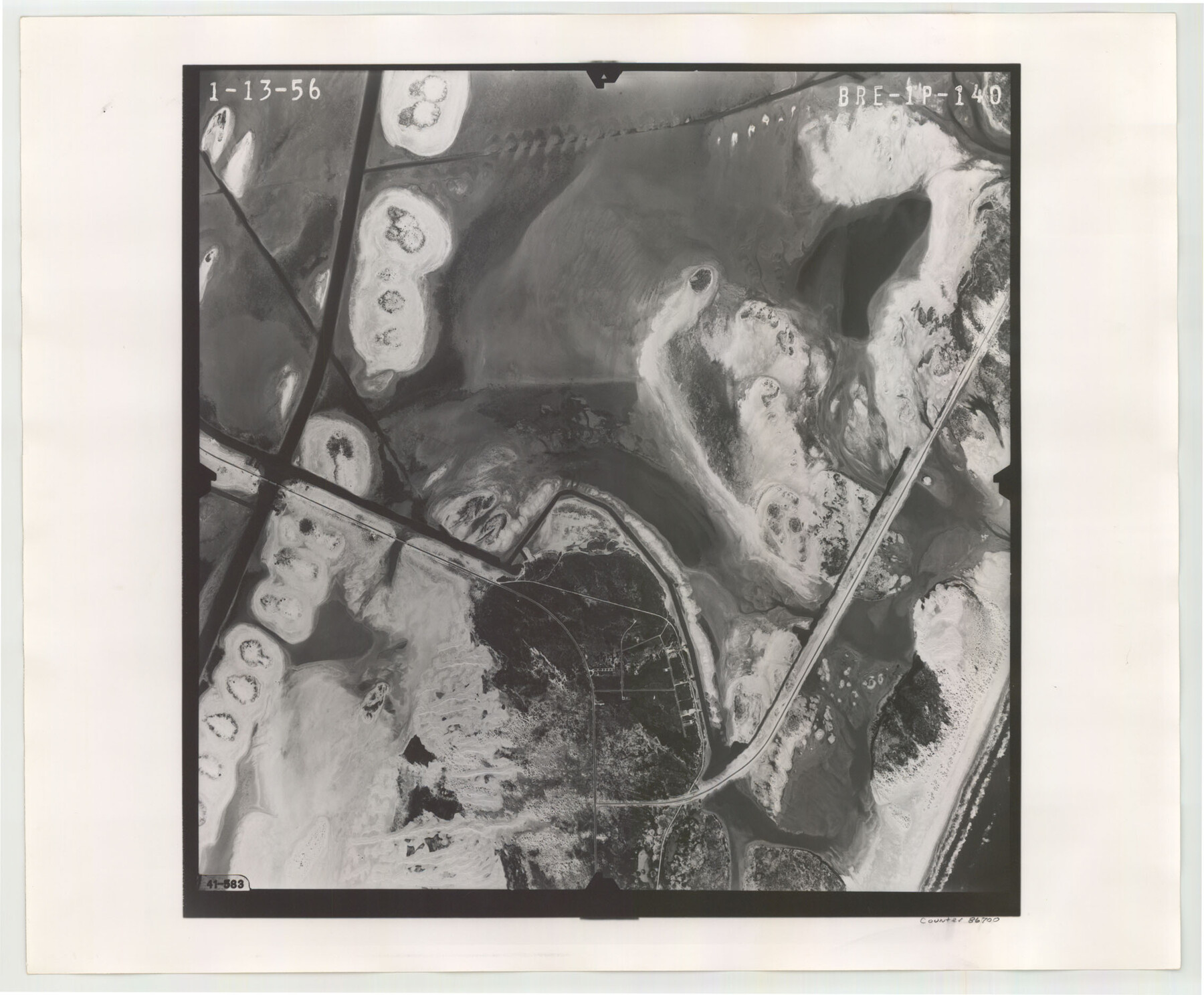
Flight Mission No. BRE-1P, Frame 140, Nueces County
BRE-1P-140
-
Map/Doc
86700
-
Collection
General Map Collection
-
Object Dates
1956/1/13 (Creation Date)
-
People and Organizations
U. S. Department of Agriculture (Publisher)
-
Counties
Nueces
-
Subjects
Aerial Photograph
-
Height x Width
18.8 x 22.7 inches
47.8 x 57.7 cm
-
Comments
Flown by V. L. Beavers and Associates of San Antonio, Texas.
Part of: General Map Collection
General Land Office and State Reclamation Department - An Index Map

Print $20.00
- Digital $50.00
General Land Office and State Reclamation Department - An Index Map
1930
Size 25.8 x 16.4 inches
Map/Doc 3027
Hutchinson County Rolled Sketch 44-12

Print $20.00
- Digital $50.00
Hutchinson County Rolled Sketch 44-12
2002
Size 24.0 x 36.0 inches
Map/Doc 77548
Rockwall County Boundary File 75

Print $18.00
- Digital $50.00
Rockwall County Boundary File 75
Size 9.0 x 11.7 inches
Map/Doc 58472
Map of north end of Brazos Island

Print $20.00
- Digital $50.00
Map of north end of Brazos Island
Size 27.5 x 18.4 inches
Map/Doc 72905
Plan De La Nouvelle-Orleans Sur les Manuscrits du Dépôt des Cartes de la Marine

Print $20.00
- Digital $50.00
Plan De La Nouvelle-Orleans Sur les Manuscrits du Dépôt des Cartes de la Marine
1744
Size 9.1 x 13.6 inches
Map/Doc 97354

Kimble County Working Sketch 2

Print $20.00
- Digital $50.00
Kimble County Working Sketch 2
Size 20.6 x 17.9 inches
Map/Doc 70070
La Salle County Working Sketch 28

Print $20.00
- Digital $50.00
La Salle County Working Sketch 28
1954
Size 36.8 x 37.8 inches
Map/Doc 70329
Grimes County State Real Property Sketch 1

Print $20.00
- Digital $50.00
Grimes County State Real Property Sketch 1
2001
Size 36.0 x 24.8 inches
Map/Doc 80133
San Augustine County Sketch File 17

Print $35.00
San Augustine County Sketch File 17
1947
Size 11.5 x 8.7 inches
Map/Doc 35668
[Map to illustrate possible mineral resources on the lands belonging to the University of Texas]
![62963, [Map to illustrate possible mineral resources on the lands belonging to the University of Texas], General Map Collection](https://historictexasmaps.com/wmedia_w700/maps/62963.tif.jpg)
Print $2.00
- Digital $50.00
[Map to illustrate possible mineral resources on the lands belonging to the University of Texas]
Size 10.2 x 7.7 inches
Map/Doc 62963

You may also like
Hardin County Sketch File 35

Print $24.00
- Digital $50.00
Hardin County Sketch File 35
Size 9.2 x 8.4 inches
Map/Doc 25175
Young County Working Sketch 22

Print $20.00
- Digital $50.00
Young County Working Sketch 22
1965
Size 26.5 x 32.3 inches
Map/Doc 62045
[Block C-41, Section 37, Dawson County, Texas]
![92629, [Block C-41, Section 37, Dawson County, Texas], Twichell Survey Records](https://historictexasmaps.com/wmedia_w700/maps/92629-1.tif.jpg)
Print $20.00
- Digital $50.00
[Block C-41, Section 37, Dawson County, Texas]
1950
Size 14.3 x 12.6 inches
Map/Doc 92629
Kimble County Working Sketch 15

Print $20.00
- Digital $50.00
Kimble County Working Sketch 15
1923
Size 22.4 x 22.1 inches
Map/Doc 70083
Flight Mission No. DQN-6K, Frame 91, Calhoun County

Print $20.00
- Digital $50.00
Flight Mission No. DQN-6K, Frame 91, Calhoun County
1953
Size 18.5 x 22.2 inches
Map/Doc 84451
Presidio County Rolled Sketch 48

Print $20.00
- Digital $50.00
Presidio County Rolled Sketch 48
1908
Size 29.9 x 35.1 inches
Map/Doc 9775
Sterling County Rolled Sketch 36

Print $20.00
- Digital $50.00
Sterling County Rolled Sketch 36
Size 24.2 x 38.0 inches
Map/Doc 7860
Shelby County Working Sketch 3

Print $20.00
- Digital $50.00
Shelby County Working Sketch 3
1940
Size 28.9 x 19.4 inches
Map/Doc 63856
[Sections 29-32 in CRR Block 49, Miguel Tafoya Survey 1 Block MT, and vicinity]
![90667, [Sections 29-32 in CRR Block 49, Miguel Tafoya Survey 1 Block MT, and vicinity], Twichell Survey Records](https://historictexasmaps.com/wmedia_w700/maps/90667-1.tif.jpg)
Print $20.00
- Digital $50.00
[Sections 29-32 in CRR Block 49, Miguel Tafoya Survey 1 Block MT, and vicinity]
Size 23.4 x 21.0 inches
Map/Doc 90667
[Sketch showing the Rio Grande with towns and features annotated]
![72897, [Sketch showing the Rio Grande with towns and features annotated], General Map Collection](https://historictexasmaps.com/wmedia_w700/maps/72897.tif.jpg)
Print $20.00
- Digital $50.00
[Sketch showing the Rio Grande with towns and features annotated]
1854
Size 23.7 x 18.4 inches
Map/Doc 72897
Grayson County Working Sketch 2

Print $20.00
- Digital $50.00
Grayson County Working Sketch 2
1939
Size 27.8 x 40.9 inches
Map/Doc 63241
Maverick County Sketch File 24

Print $36.00
- Digital $50.00
Maverick County Sketch File 24
1890
Size 9.1 x 8.7 inches
Map/Doc 31145