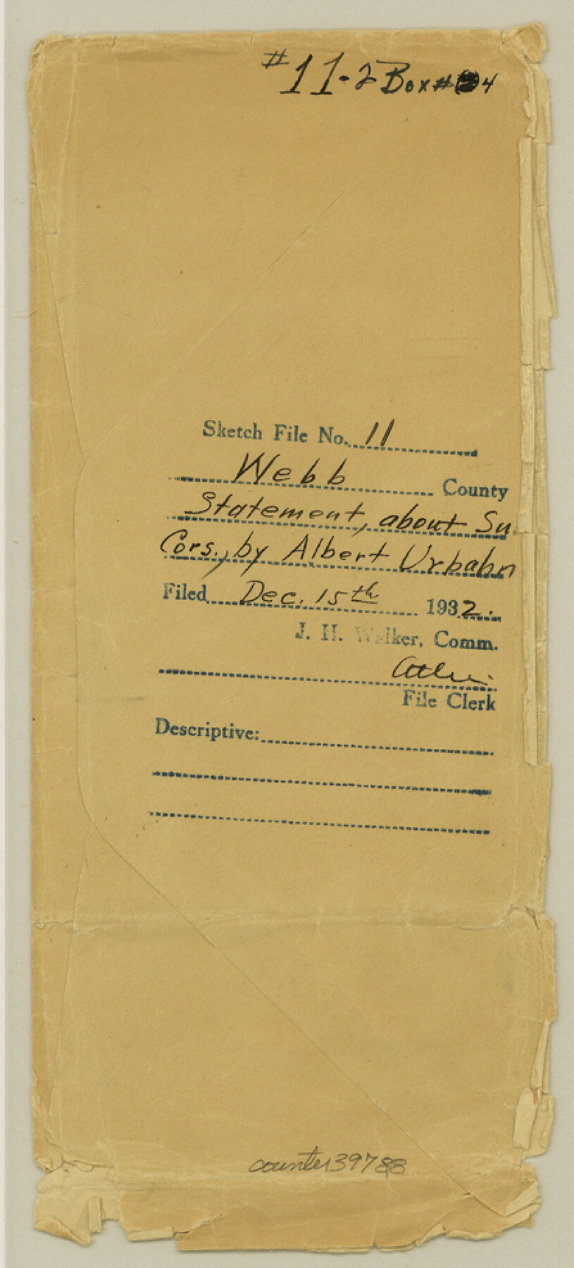
Webb County Sketch File 11-2
[Statement regarding original corners of Callaghan Ranch in Webb and La Salle Counties]
-
Map/Doc
39788
-
Collection
General Map Collection
-
Object Dates
11/5/1932 (Creation Date)
12/15/1932 (File Date)
-
People and Organizations
Albert Urbahn (Surveyor/Engineer)
-
Counties
Webb La Salle
-
Subjects
Surveying Sketch File
-
Height x Width
9.9 x 4.5 inches
25.2 x 11.4 cm
-
Medium
multi-page, multi-format
-
Features
Callaghan Ranch
Part of: General Map Collection
Collin County Sketch File 9

Print $4.00
- Digital $50.00
Collin County Sketch File 9
1878
Size 8.3 x 10.1 inches
Map/Doc 18870
Edwards County Boundary File 27c

Print $29.00
- Digital $50.00
Edwards County Boundary File 27c
Size 12.8 x 8.1 inches
Map/Doc 52896
Flight Mission No. CRC-3R, Frame 56, Chambers County

Print $20.00
- Digital $50.00
Flight Mission No. CRC-3R, Frame 56, Chambers County
1956
Size 18.6 x 22.3 inches
Map/Doc 84828
Grimes County Sketch File 4b

Print $10.00
- Digital $50.00
Grimes County Sketch File 4b
1873
Size 10.2 x 8.4 inches
Map/Doc 24637
Bandera County Working Sketch 34

Print $20.00
- Digital $50.00
Bandera County Working Sketch 34
1963
Size 36.5 x 29.2 inches
Map/Doc 67630
Travis County Sketch File 45

Print $20.00
- Digital $50.00
Travis County Sketch File 45
1937
Size 22.7 x 37.8 inches
Map/Doc 12467
Fractional Township No. 9 South Range No. 10 East of the Indian Meridian, Indian Territory

Print $20.00
- Digital $50.00
Fractional Township No. 9 South Range No. 10 East of the Indian Meridian, Indian Territory
1898
Size 19.3 x 24.3 inches
Map/Doc 75219
[Sketch of Surveys on Big Sandy Creek]
![179, [Sketch of Surveys on Big Sandy Creek], General Map Collection](https://historictexasmaps.com/wmedia_w700/maps/179.tif.jpg)
Print $2.00
- Digital $50.00
[Sketch of Surveys on Big Sandy Creek]
1841
Size 8.2 x 9.2 inches
Map/Doc 179
Orange County Working Sketch 48

Print $20.00
- Digital $50.00
Orange County Working Sketch 48
1991
Size 13.3 x 19.9 inches
Map/Doc 71380
Flight Mission No. DQO-8K, Frame 51, Galveston County

Print $20.00
- Digital $50.00
Flight Mission No. DQO-8K, Frame 51, Galveston County
1952
Size 18.7 x 22.3 inches
Map/Doc 85158
Brewster County Working Sketch 7

Print $20.00
- Digital $50.00
Brewster County Working Sketch 7
1909
Size 39.9 x 17.1 inches
Map/Doc 67540
Galveston County Rolled Sketch 43A

Print $20.00
- Digital $50.00
Galveston County Rolled Sketch 43A
Size 16.2 x 20.3 inches
Map/Doc 76005
You may also like
Lamb County Boundary File 1e

Print $10.00
- Digital $50.00
Lamb County Boundary File 1e
Size 11.3 x 8.8 inches
Map/Doc 56053
United States - Gulf Coast - Padre I. and Laguna Madre Lat. 27° 12' to Lat. 26° 33' Texas

Print $20.00
- Digital $50.00
United States - Gulf Coast - Padre I. and Laguna Madre Lat. 27° 12' to Lat. 26° 33' Texas
1913
Size 26.9 x 18.2 inches
Map/Doc 72820
Navarro County

Print $40.00
- Digital $50.00
Navarro County
1924
Size 41.1 x 48.2 inches
Map/Doc 77382
Sketch of H. & T. C. RR. Co. Lands on the Canadian River in Oldham and Wheeler Districts

Print $40.00
- Digital $50.00
Sketch of H. & T. C. RR. Co. Lands on the Canadian River in Oldham and Wheeler Districts
1884
Size 88.9 x 23.8 inches
Map/Doc 93193
Anderson County Working Sketch 35

Print $20.00
- Digital $50.00
Anderson County Working Sketch 35
1968
Size 26.1 x 22.4 inches
Map/Doc 67035
Wise County Sketch File 43

Print $4.00
- Digital $50.00
Wise County Sketch File 43
1876
Size 8.3 x 12.8 inches
Map/Doc 40603
Typical Scenes of Wichita Falls and District

Print $20.00
- Digital $50.00
Typical Scenes of Wichita Falls and District
1927
Size 13.7 x 16.6 inches
Map/Doc 96761
Henderson County Sketch File 8a

Print $18.00
- Digital $50.00
Henderson County Sketch File 8a
1861
Size 10.3 x 8.4 inches
Map/Doc 26334
Trinity River, Five Mile Creek Sheet

Print $20.00
- Digital $50.00
Trinity River, Five Mile Creek Sheet
1923
Size 20.0 x 40.4 inches
Map/Doc 65197
Survey in South Austin for Mr. R.N. Graham

Print $20.00
- Digital $50.00
Survey in South Austin for Mr. R.N. Graham
Map/Doc 93795
Galveston County Sketch File 32

Print $20.00
- Digital $50.00
Galveston County Sketch File 32
1916
Size 15.2 x 34.3 inches
Map/Doc 11535