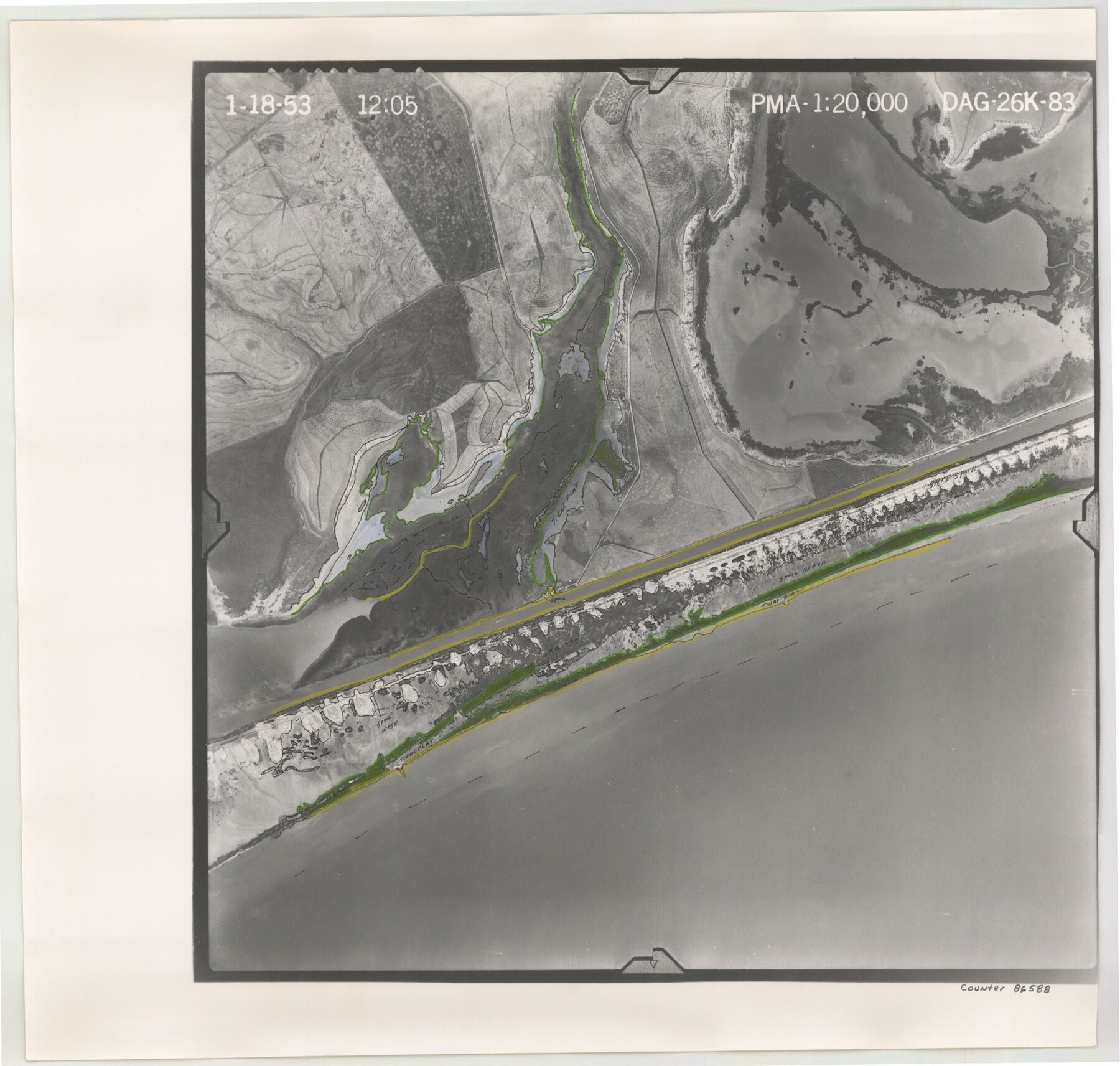
Flight Mission No. DAG-26K, Frame 83, Matagorda County
DAG-26K-83
-
Map/Doc
86588
-
Collection
General Map Collection
-
Object Dates
1953/1/18 (Creation Date)
-
People and Organizations
U. S. Department of Agriculture (Publisher)
-
Counties
Matagorda
-
Subjects
Aerial Photograph
-
Height x Width
18.6 x 19.6 inches
47.2 x 49.8 cm
-
Comments
Flown by Aero Exploration Company of Tulsa, Oklahoma.
Part of: General Map Collection
Topography of the Colorado River in the City of Austin

Print $4.00
- Digital $50.00
Topography of the Colorado River in the City of Austin
1941
Size 18.7 x 29.6 inches
Map/Doc 65326
Moore County Working Sketch 2

Print $20.00
- Digital $50.00
Moore County Working Sketch 2
1934
Size 18.3 x 41.3 inches
Map/Doc 71184
Cameron County Rolled Sketch 34

Print $20.00
- Digital $50.00
Cameron County Rolled Sketch 34
2000
Size 24.2 x 35.2 inches
Map/Doc 5397
Baylor County Boundary File 3

Print $52.00
- Digital $50.00
Baylor County Boundary File 3
Size 23.2 x 4.9 inches
Map/Doc 50372
Map of Reeves County

Print $20.00
- Digital $50.00
Map of Reeves County
1892
Size 47.2 x 35.4 inches
Map/Doc 78401
Limestone County Working Sketch 21

Print $20.00
- Digital $50.00
Limestone County Working Sketch 21
1979
Size 29.4 x 38.7 inches
Map/Doc 70571
Val Verde County Sketch File 14

Print $20.00
- Digital $50.00
Val Verde County Sketch File 14
1879
Size 19.8 x 14.7 inches
Map/Doc 12565
Val Verde County Rolled Sketch 80

Print $20.00
- Digital $50.00
Val Verde County Rolled Sketch 80
1985
Size 16.3 x 20.1 inches
Map/Doc 8142
Flight Mission No. BRA-16M, Frame 172, Jefferson County

Print $20.00
- Digital $50.00
Flight Mission No. BRA-16M, Frame 172, Jefferson County
1953
Size 18.6 x 22.3 inches
Map/Doc 85770
Castro County Boundary File 1 and 1a

Print $44.00
- Digital $50.00
Castro County Boundary File 1 and 1a
Size 8.9 x 9.9 inches
Map/Doc 51186
Kerr County Sketch File 6b

Print $4.00
- Digital $50.00
Kerr County Sketch File 6b
1880
Size 8.5 x 13.6 inches
Map/Doc 28867
Wise County Working Sketch 15

Print $20.00
- Digital $50.00
Wise County Working Sketch 15
1979
Size 23.3 x 24.6 inches
Map/Doc 72629
You may also like
Flight Mission No. DAG-21K, Frame 82, Matagorda County

Print $20.00
- Digital $50.00
Flight Mission No. DAG-21K, Frame 82, Matagorda County
1952
Size 18.5 x 22.3 inches
Map/Doc 86411
Hemphill County Rolled Sketch 2

Print $20.00
- Digital $50.00
Hemphill County Rolled Sketch 2
Size 26.4 x 29.8 inches
Map/Doc 6185
Morris County Rolled Sketch 2A

Print $20.00
- Digital $50.00
Morris County Rolled Sketch 2A
Size 22.7 x 17.6 inches
Map/Doc 10268
Sketch Showing Section 3, Block JW, Subdivided to Show Quantity East of Texas Sections

Print $40.00
- Digital $50.00
Sketch Showing Section 3, Block JW, Subdivided to Show Quantity East of Texas Sections
Size 5.8 x 49.9 inches
Map/Doc 91303
McCulloch County Working Sketch 3

Print $20.00
- Digital $50.00
McCulloch County Working Sketch 3
1951
Size 30.9 x 36.8 inches
Map/Doc 70678
Lynn County Boundary File 11

Print $44.00
- Digital $50.00
Lynn County Boundary File 11
Size 14.1 x 8.7 inches
Map/Doc 56745
Burnet County

Print $20.00
- Digital $50.00
Burnet County
1881
Size 16.0 x 16.2 inches
Map/Doc 75785
Fisher County Sketch File 13

Print $20.00
- Digital $50.00
Fisher County Sketch File 13
Size 18.3 x 17.7 inches
Map/Doc 11480
Terrell County Working Sketch 69

Print $20.00
- Digital $50.00
Terrell County Working Sketch 69
1978
Size 28.0 x 32.7 inches
Map/Doc 69590
Flight Mission No. DAH-17M, Frame 24, Orange County

Print $20.00
- Digital $50.00
Flight Mission No. DAH-17M, Frame 24, Orange County
1953
Size 18.5 x 22.4 inches
Map/Doc 86887
Austin County Rolled Sketch 5B

Print $40.00
- Digital $50.00
Austin County Rolled Sketch 5B
Size 23.7 x 51.5 inches
Map/Doc 5107
Index Map No. 1 - Rio Bravo del Norte section of boundary between the United States & Mexico; agreed upon by the Joint Commission under the Treaty of Guadalupe Hidalgo

Print $20.00
- Digital $50.00
Index Map No. 1 - Rio Bravo del Norte section of boundary between the United States & Mexico; agreed upon by the Joint Commission under the Treaty of Guadalupe Hidalgo
1852
Size 18.3 x 27.5 inches
Map/Doc 72860